
Sitkinak Unfinished White Alice Communications Site, Alaska
Nearly four-fifths built, the Sitkinak relay was bypassed before its planned radio link to Kodiak ever opened.
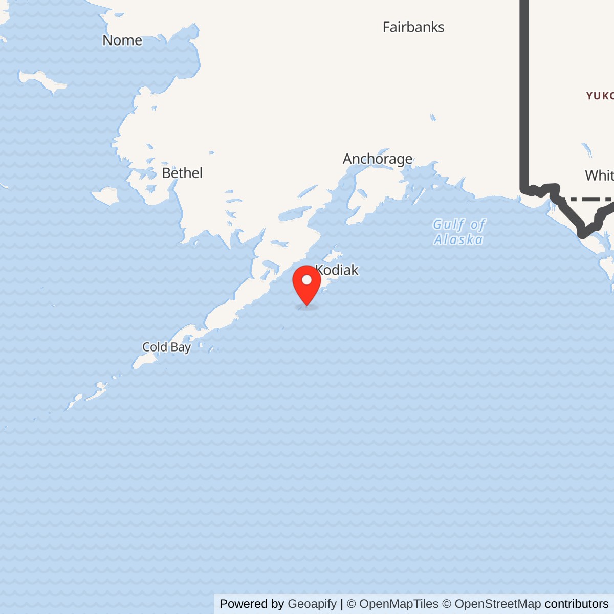
Longitude: -154.184618
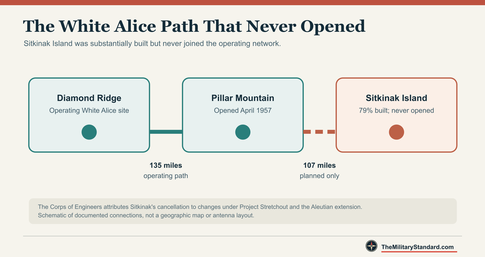
Sitkinak was a nearly completed but never activated extension of Alaska's White Alice Communications System. The Air Force intended the island station to connect with Pillar Mountain near Kodiak across a 107-mile tropospheric-scatter path. The connection was never made. By the time Project Stretchout changed the network, construction at Sitkinak was about 79 percent complete. [1] [2]
- Planned role
- White Alice tropospheric-scatter relay to Pillar Mountain.
- Planned path
- 107 miles to Pillar Mountain, never activated.
- Construction
- About 79 percent complete when abandoned.
- Service
- None; the station never opened.
- Location
- Sitkinak Island. The precise White Alice footprint and coordinates remain unverified.
The Planned Kodiak Link
White Alice carried long-distance military and civilian communications across Alaska. Its tropospheric-scatter paths connected remote stations beyond the reach of ordinary line-of-sight microwave. The Kodiak-area plan would have given Pillar Mountain a southward route to Sitkinak, as well as its northward route to Diamond Ridge. Pillar Mountain opened in April 1957 and operated the Diamond Ridge path. The 107-mile Sitkinak path remained a plan, not a working branch of the network. [1]
Building a Remote Station
Sitkinak was part of an ambitious buildout across difficult terrain and weather. The U.S. Army Corps of Engineers' historical inventory records an initial government construction estimate of $755,711 for Sitkinak and a lowest bid of $943,000. Throughout White Alice, crews faced expensive transport, site preparation and short working seasons. [1]
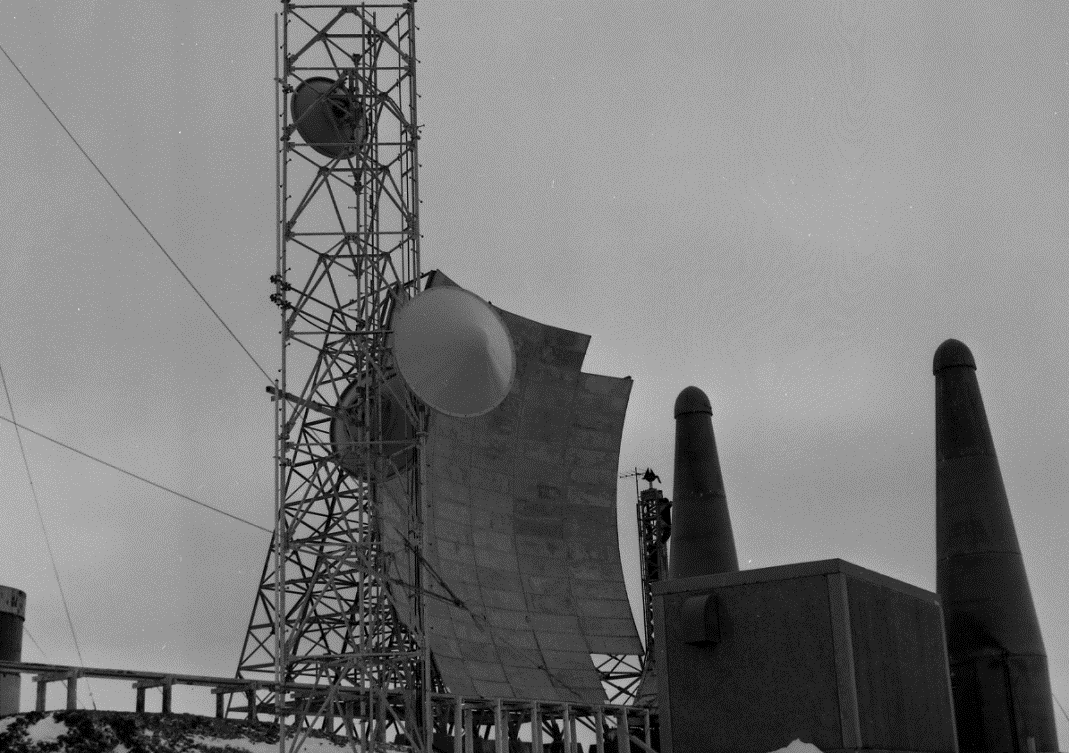
Construction on Sitkinak advanced far enough that the Corps later described the facility as 79 percent complete when it was abandoned. A 1994 Corps study likewise says less than 80 percent complete. Neither account records an opening day or an operating period. Sitkinak was a substantial physical project, but it did not carry White Alice traffic. [1] [2]
Cancellation Before Service
The Corps attributes the decision to changes in the network associated with Project Stretchout and the Aleutian extension. The longer system made the proposed Sitkinak relay unnecessary before it could open. The planned southward link from Pillar Mountain was never made. [1] [2]
Cape Chiniak was another Kodiak-area site whose initial White Alice plan did not enter service. Its nearly finished facilities took a different course: the Air Force adapted them for satellite tracking. Sitkinak, by contrast, remained an unfinished communications installation. [1] [2]
What Remains of the Record
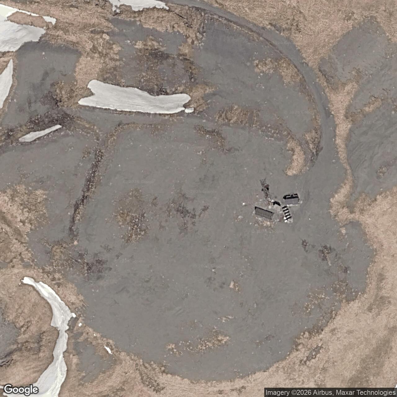
The Corps' 1994 cultural-resources plan says the framework of the abandoned Sitkinak station had been demolished. The Anchorage Museum's Bill Ray White Alice collection identifies three photographs of the Sitkinak site area. Together, the documentary record and those archival images preserve evidence of a project that disappeared from the operating network before it opened. [2] [3]
A Separate Coast Guard Station
Sitkinak Island also held a Coast Guard LORAN navigation station. Alaska's environmental site record identifies it west of Mark Lake. The Coast Guard station and unfinished White Alice project were separate installations with different missions. Sitkinak's White Alice site never functioned as a radar station or as an operating communications relay. [1] [2] [4]
Chronology
- 1955 Western Electric receives the White Alice system contract; work on the original network proceeds under the contractor and the Army Corps of Engineers.
- April 1957 Pillar Mountain opens its northward path to Diamond Ridge. Its proposed Sitkinak path is not activated.
- Late 1950s to early 1960s Project Stretchout and the Aleutian extension make Sitkinak unnecessary. Construction ends with the facility about 79 percent complete.
- By 1994 The Corps reports demolition of the abandoned station framework.
Information sources (3)
- WEB[1] Historical Overview and Inventory: White Alice Communications System, U.S. Army Corps of Engineers, Alaska District (1988). PDF pages 14, 21, 64-65 (printed pages 6, 14, 57-58). Source for original construction program, Sitkinak estimate and bids, planned 107-mile Pillar Mountain link, 79-percent completion, Project Stretchout, and Cape Chiniak comparison
https://dec.alaska.gov/Applications/SPAR/PublicMVC/CSP/Download?documentID=38358&fileName=1985_Hist+overview+of+WACS_F10AK0747--_01.05_0502_p.pdf
- PDFhttps://www.poa.usace.army.mil/Portals/34/docs/civilworks/archive/TheColdWarInAlaskaAManagementPlanForCulturalResourcesAug1994a.pdf
[3] Bill Ray White Alice Collection, B1994.009, Anchorage Museum, finding aid, Folder 38, photographs .1267-.1269. Source for existence of actual Sitkinak site-area images; not a reuse license.
- WEB[4] Site Report: USCG Loran C Station - Sitkinak, Alaska Department of Environmental Conservation, hazard ID 3055. Source for the separate Coast Guard station identity and environmental case location
https://dec.alaska.gov/Applications/SPAR/PublicMVC/CSP/SiteReport/3055