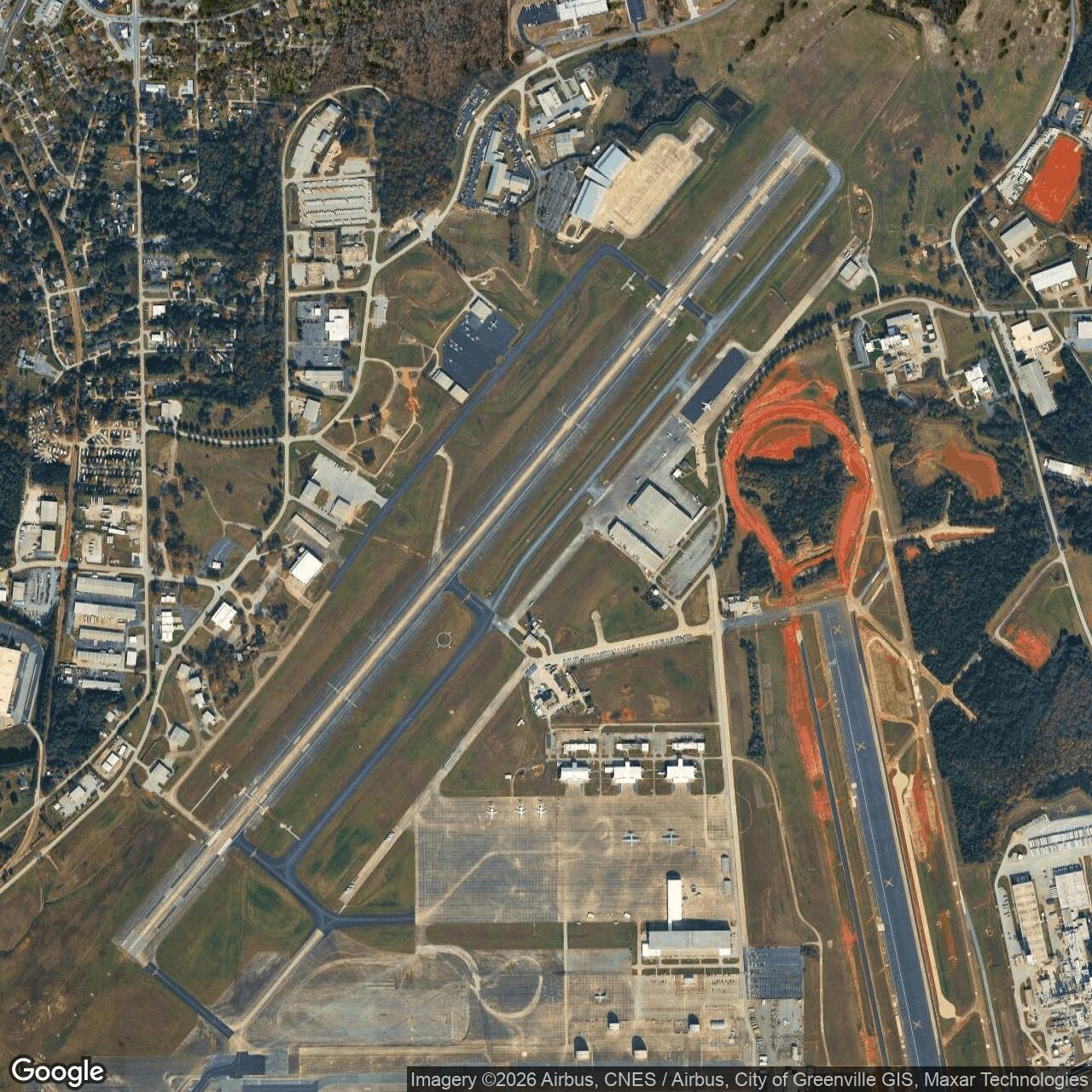
Donaldson Air Force Base, South Carolina
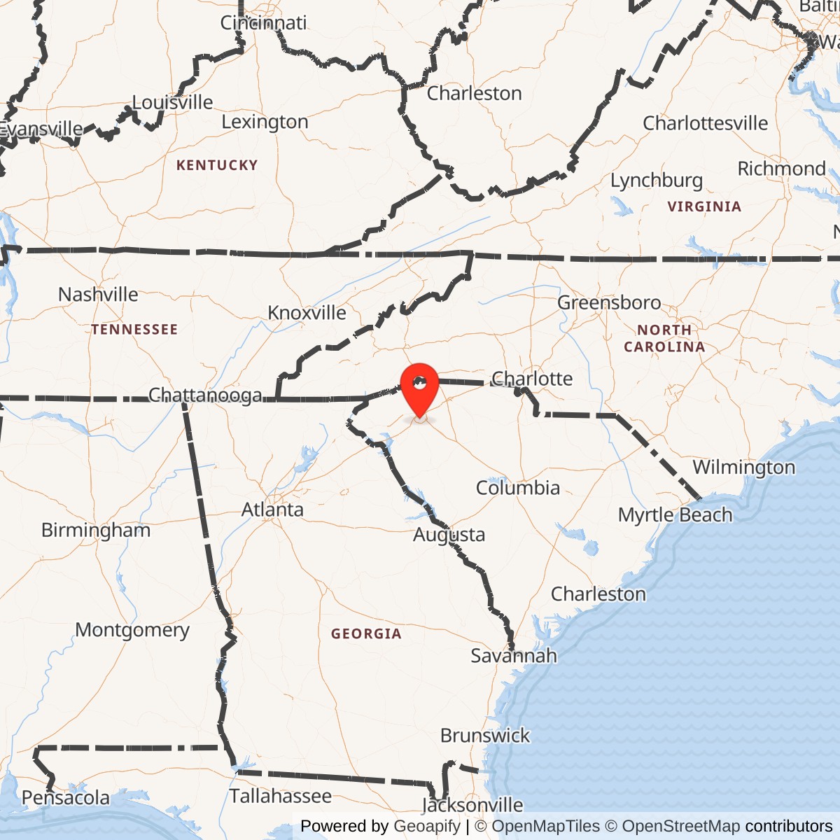
Longitude: -82.3744
Donaldson Air Force Base was a United States Air Force installation located approximately seven miles southeast of Greenville, South Carolina, that operated from 1942 until its inactivation in 1963.[1][2] Originally activated as Greenville Army Air Base to provide advanced training for B-25 Mitchell bomber crews during World War II, the facility was redesignated Donaldson Air Force Base in March 1951 to commemorate Captain John O. Donaldson, a Greenville native and one of the first African American combat aviators who achieved seven aerial victories as a flying ace in World War I.
Under Tactical Air Command, the base became a hub for troop carrier and tactical airlift operations, hosting the activation of the Eighteenth Air Force on March 28, 1951, with a primary mission of providing rapid deployment of ground forces and equipment via heavy airlift aircraft such as the C-124 Globemaster II. Units stationed there, including the 63d Troop Carrier Wing, supported key Cold War contingencies, such as the 1958 Lebanon Crisis, demonstrating the base's role in projecting air mobility capabilities. Following its closure amid post-Korean War force reductions and base realignments, the site transitioned to civilian use as Donaldson Center Airport and an industrial park, managed by local authorities.