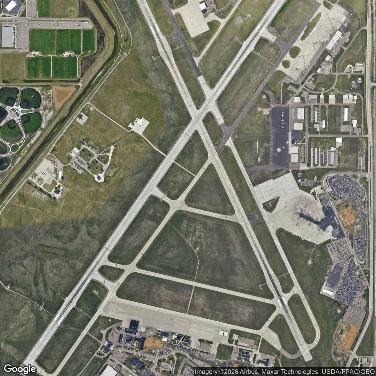
Joe Foss Field Air National Guard Station, South Dakota
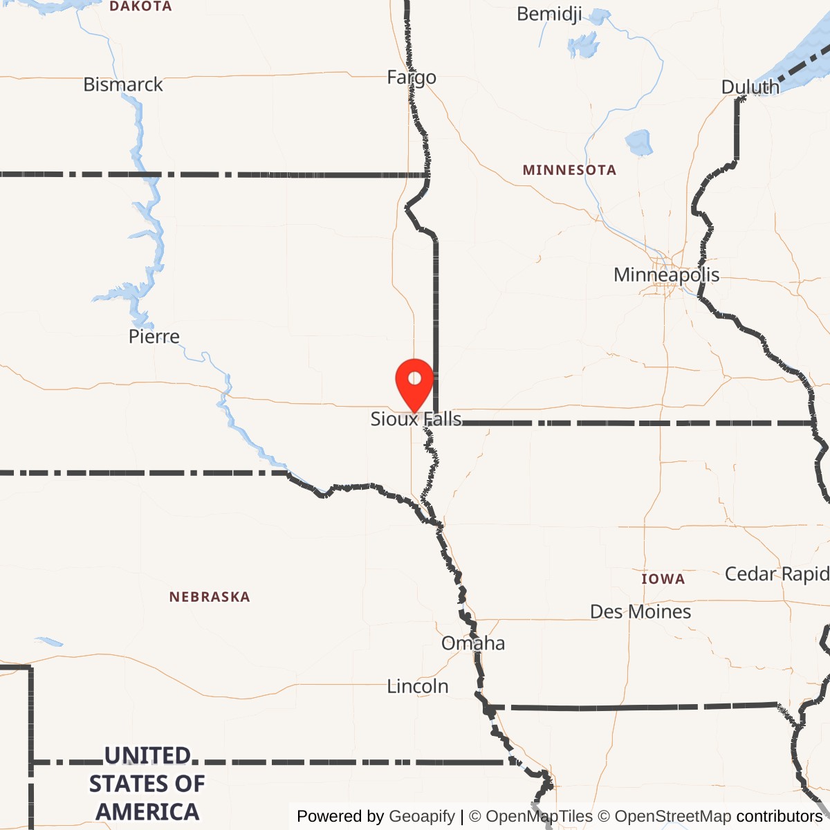
Longitude: -96.7419
The station was named after Joe Foss, a decorated Marine Corps fighter ace from South Dakota and former governor of the state. Following World War II, the airfield was adapted for Air National Guard use, becoming one of the early ANG facilities established in the postwar period. Foss's legacy as a pilot and leader remains closely tied to the base's identity.
Established in 1937 as a civil airport, it was leased from the City of Sioux Falls by the U.S. government in 1942, establishing the Sioux Falls Army Base. The base was predominantly used as a technical training school for radio operators, its grid of streets now making up an industrial park.
The United States Corp of Engineers developed the current triangular 3-runway system from 1942-47. After WWII, the airport returned to the city with a south portion leased to the newly formed SDANG. South Dakota's 114th Fighter Group nicknamed "Lobos" is today stationed here.
The Air National Guard Base portion has all the standard facilities of any small USAF installation except family housing. The 114th's F-16C (wiki) and F-16 "Fighting Falcon" F-16D aircraft are a frequent sight over the Sioux Falls area.