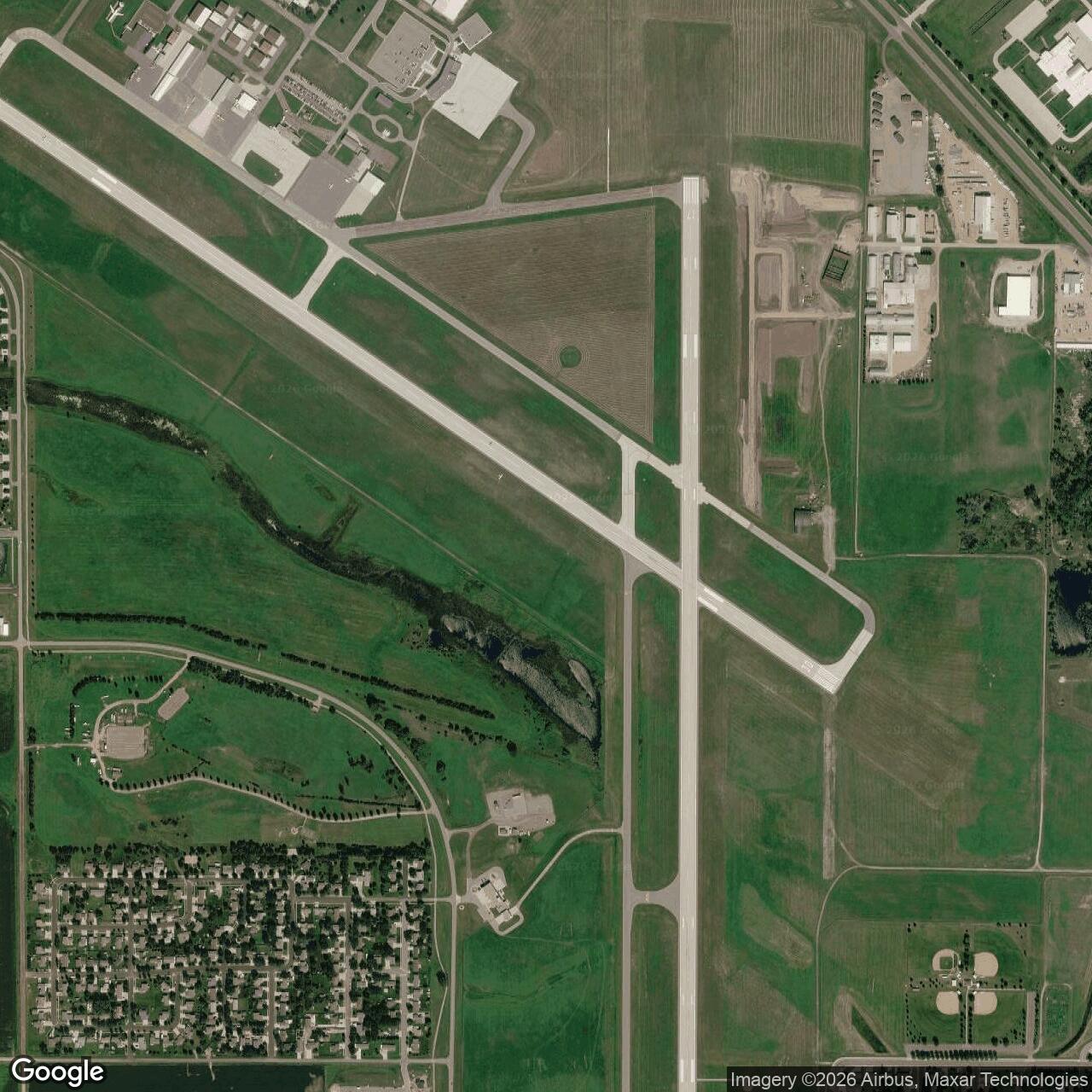
Watertown Army Air Field, South Dakota
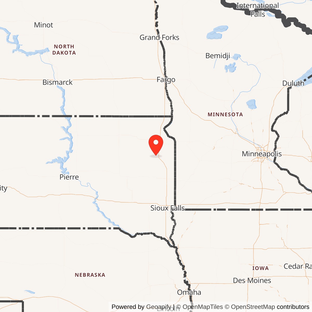
Longitude: -97.1547
Watertown Army Airfield was a World War II-era military airfield located near Watertown, South Dakota. Built as part of the U.S. Army Air Forces' training network, it played a support role in preparing pilots and crews for wartime aviation duties. After the war, it transitioned to civilian use and now operates as Watertown Regional Airport.
Watertown Army Airfield was developed as a satellite training facility within the U.S. Army Air Forces' Central Flying Training Command system. It supported advanced flight instruction, aircraft maintenance, and navigation practice. The airfield's layout, with multiple runways and support structures, reflected the standardized wartime airfield design of the early 1940s.
Following the end of World War II, the airfield was declared surplus and transferred to local authorities. It became the foundation for Watertown Regional Airport, serving both general aviation and scheduled passenger service. Many of the original runways and infrastructure were adapted for civilian operations.