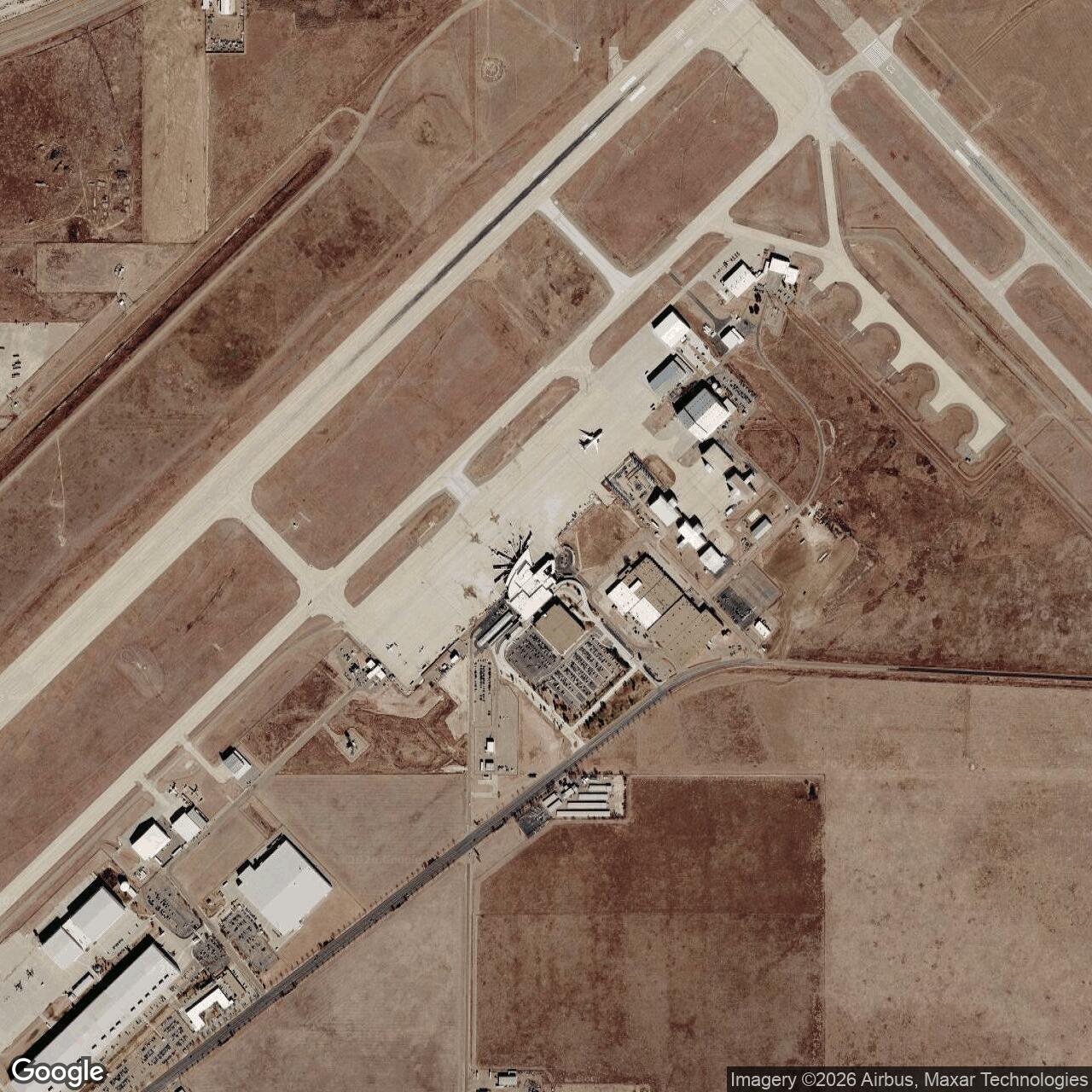
Amarillo Air Force Base, Texas
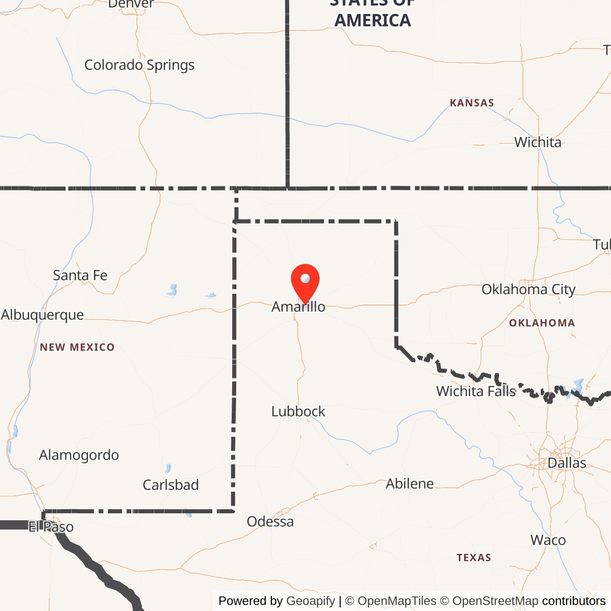
Longitude: -101.7050
Amarillo Air Force Base was a United States Air Force installation located near Amarillo, Texas. Active primarily during World War II and the early Cold War, it served as a key training site for pilots, aircraft mechanics, and technical personnel. The base played an important role in regional economic and military development until its closure in 1968.
Originally commissioned as Amarillo Army Air Field in 1942, the installation trained bomber crews for aircraft such as the B-17 Flying Fortress and B-29 Superfortress. It contributed to the large-scale buildup of U.S. Army Air Forces training infrastructure during World War II. After the war, the base was briefly deactivated before reopening under the newly formed U.S. Air Force.
Reactivated in 1951, Amarillo Air Force Base became a major Air Training Command center, focusing on jet engine maintenance and aircraft mechanics. The 3320th Technical Training Wing conducted extensive programs supporting the Boeing B-52 Stratofortress and other aircraft. At its peak, the base employed thousands of military and civilian personnel, significantly shaping Amarillo's postwar growth.
As part of nationwide defense cutbacks and training consolidation, the base was ordered closed in 1968. Much of the property was transferred to local authorities and repurposed as Rick Husband Amarillo International Airport and an industrial park.