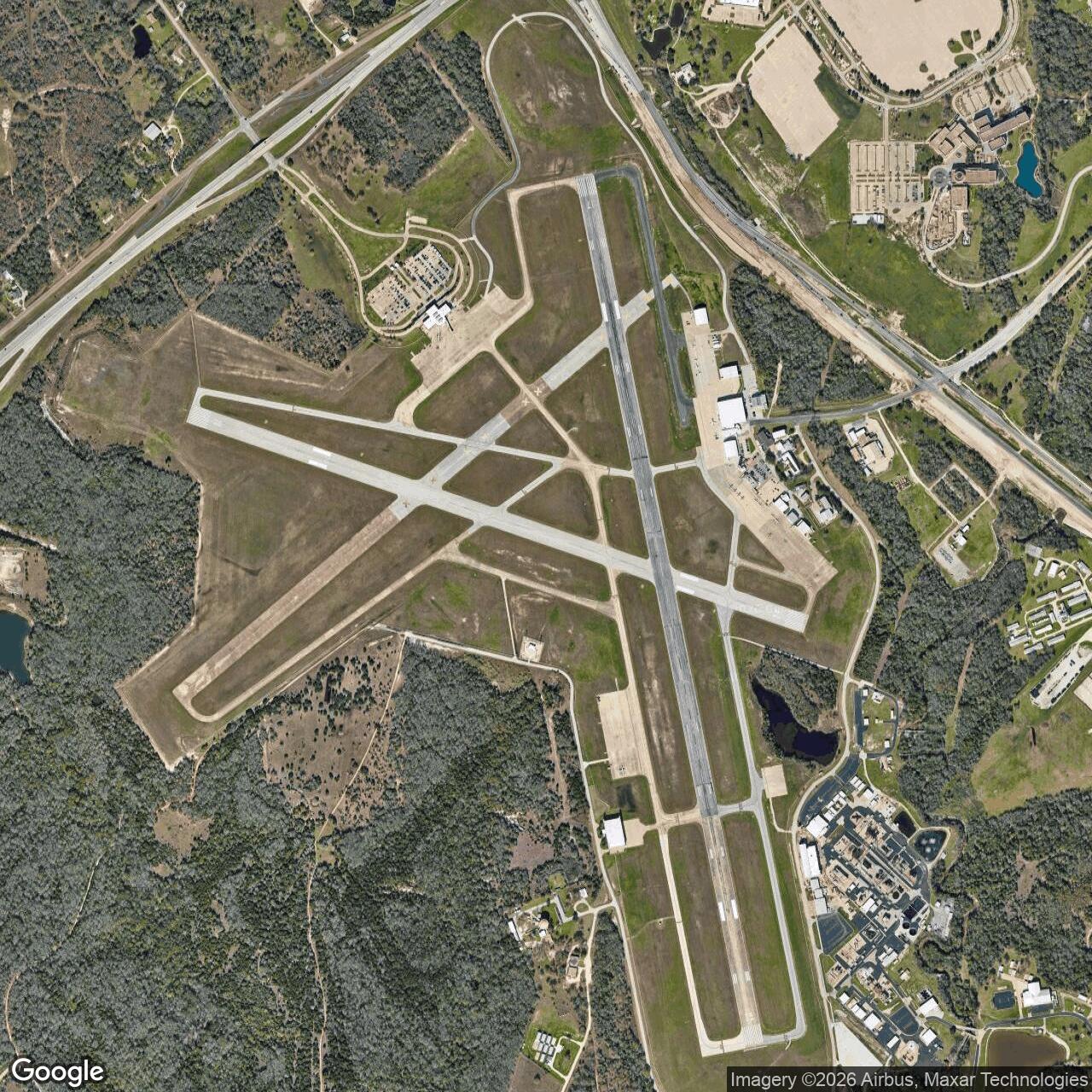
Bryan Air Force Base, Bryan Texas
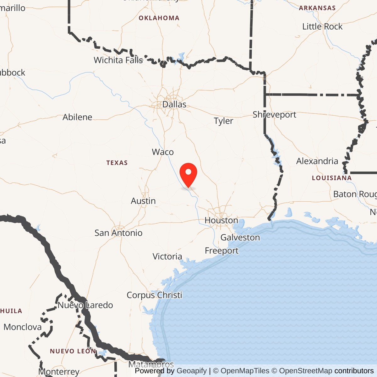
Longitude: -96.3638
Bryan Army Air Field was a United States Army Air Forces training base located near Bryan, Texas. Established during World War II, it played a key role in pilot instrument training and later evolved into Bryan Air Force Base before its eventual closure and conversion to civilian use.
Bryan Army Air Field was activated in 1943 as part of the Army Air Forces' rapid expansion of training facilities. Its mission centered on developing and testing new instrument flying techniques essential for all-weather combat operations. The field became a hub for training instructor pilots and refining precision flight procedures.
At Bryan, instructors pioneered the Full Panel Instrument Flying Course, one of the earliest comprehensive instrument training programs in the world. The base also hosted the development of the "Bryan Automatic Navigator", an early precursor to modern flight navigation aids. These innovations contributed significantly to postwar flight safety standards.
After World War II, the field was redesignated Bryan Air Force Base under the newly formed U.S. Air Force in 1947. It continued training pilots, particularly on jet transition, until being declared surplus in 1958. The site was transferred to the state of Texas and later integrated into the Texas A&M University System.
The former airfield grounds now form part of the RELLIS Campus, a multidisciplinary research, testing, and education complex.