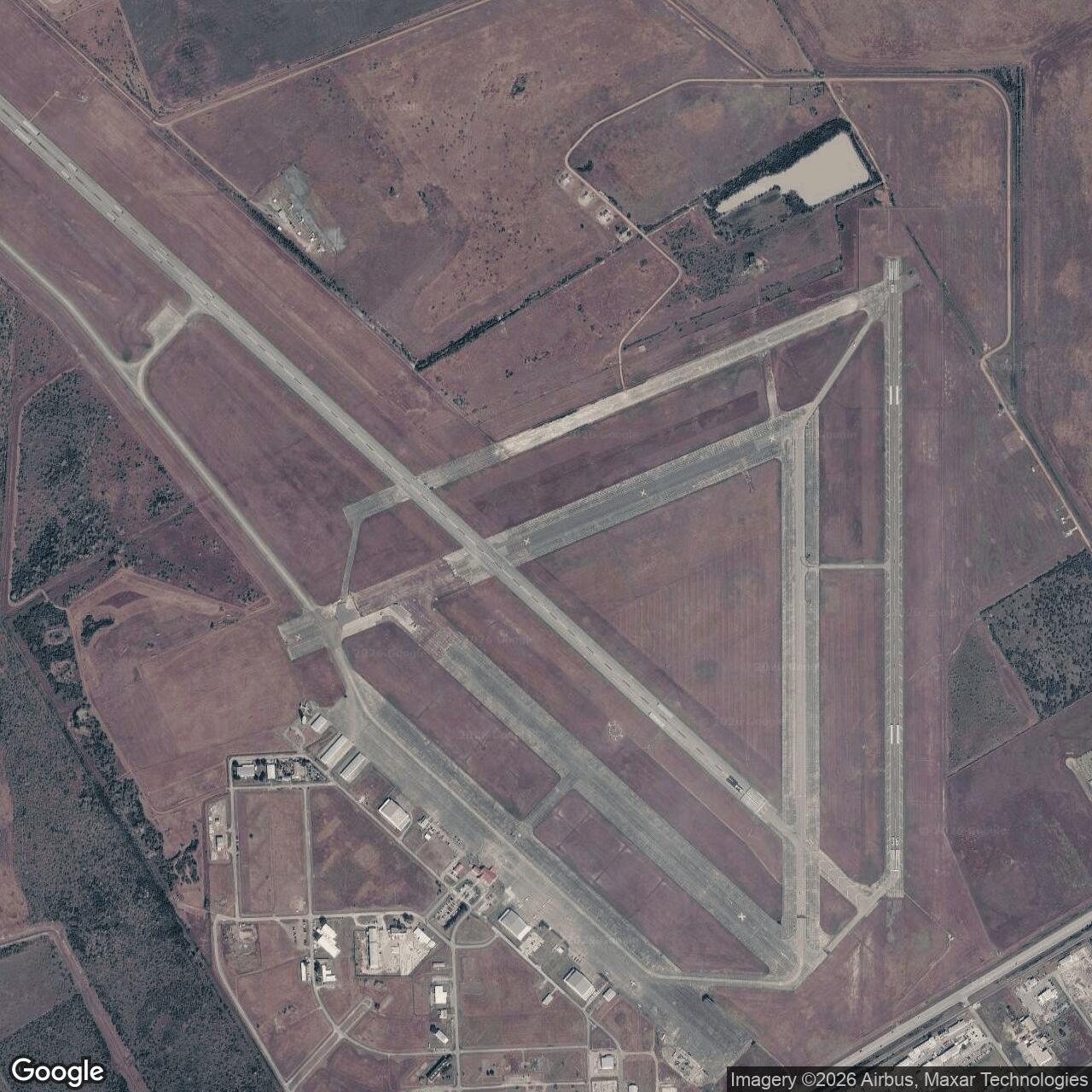
Foster Air Force Base, Victoria Texas
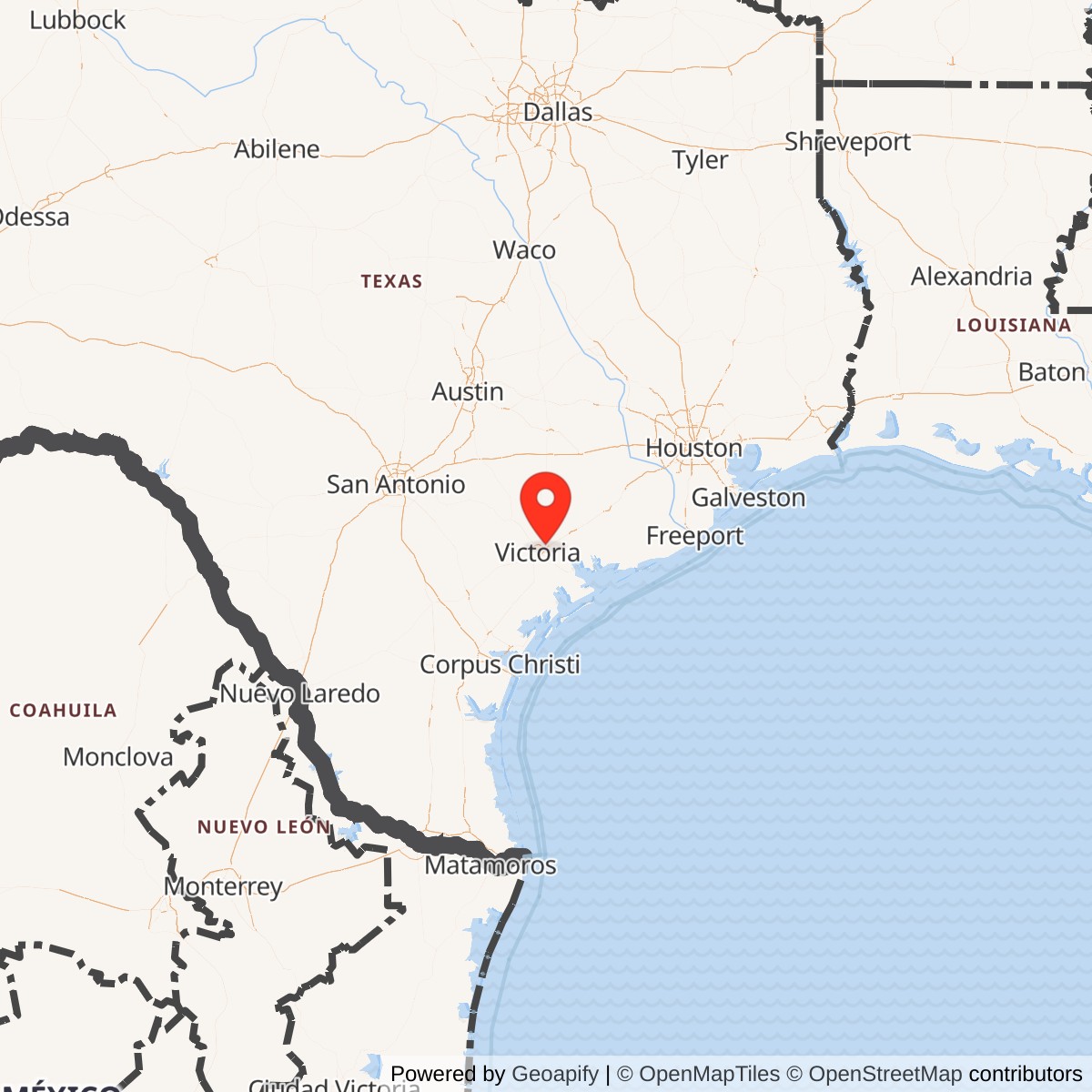
Longitude: -96.9185
Foster Field was a United States Army Air Forces training base located near Victoria, Texas. It played a significant role during World War II as a pilot training center and later contributed to regional aviation and community development before its closure and conversion into civil use.
Constructed rapidly after the United States entered World War II, Foster Field functioned as a basic flying school under the Army Air Forces Gulf Coast Training Center. Thousands of cadets trained there, primarily flying aircraft such as the Vultee BT-13 Valiant and North American AT-6 Texan. The base featured multiple runways, hangars, barracks, and maintenance facilities designed for intensive pilot instruction.
After the war's end in 1945, Foster Field was deactivated as part of the military's draw down. Some facilities were repurposed for storage and maintenance operations. In the early 1950s, the field briefly reopened as Foster Air Force Base under the newly formed U.S. Air Force, focusing on jet training until its final closure in 1958.
Following military decommissioning, the property was transferred to the city of Victoria and adapted for civilian aviation as Victoria Regional Airport. Several original structures and runway alignments remain.