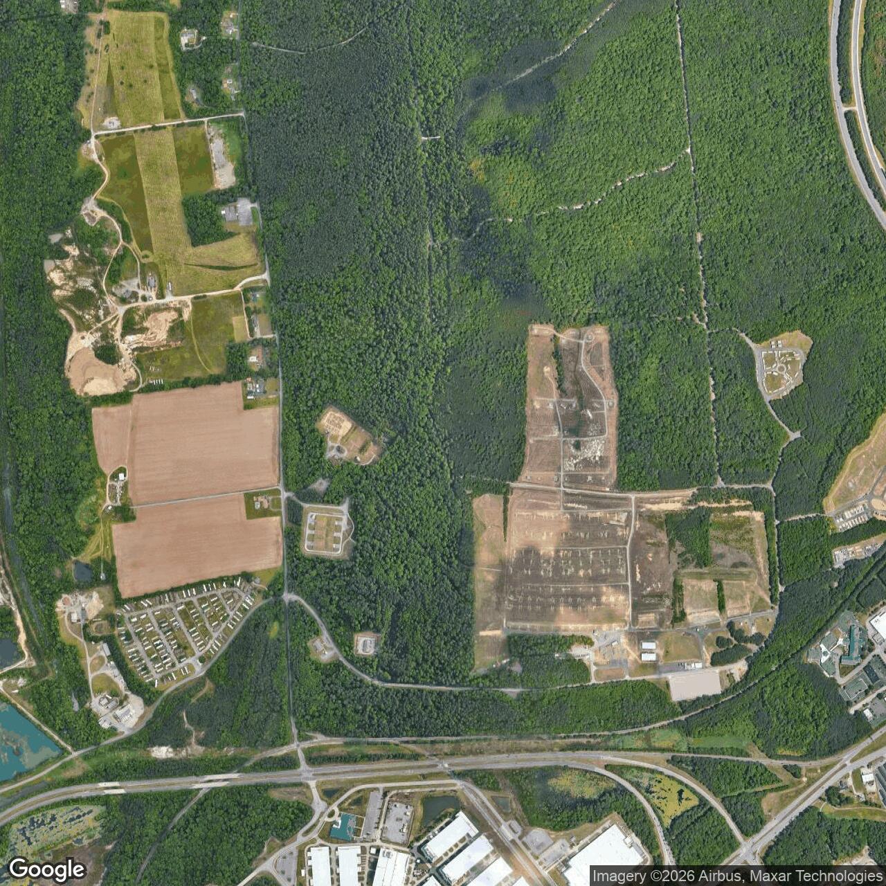
Fort Lee Air Force Station, Virginia
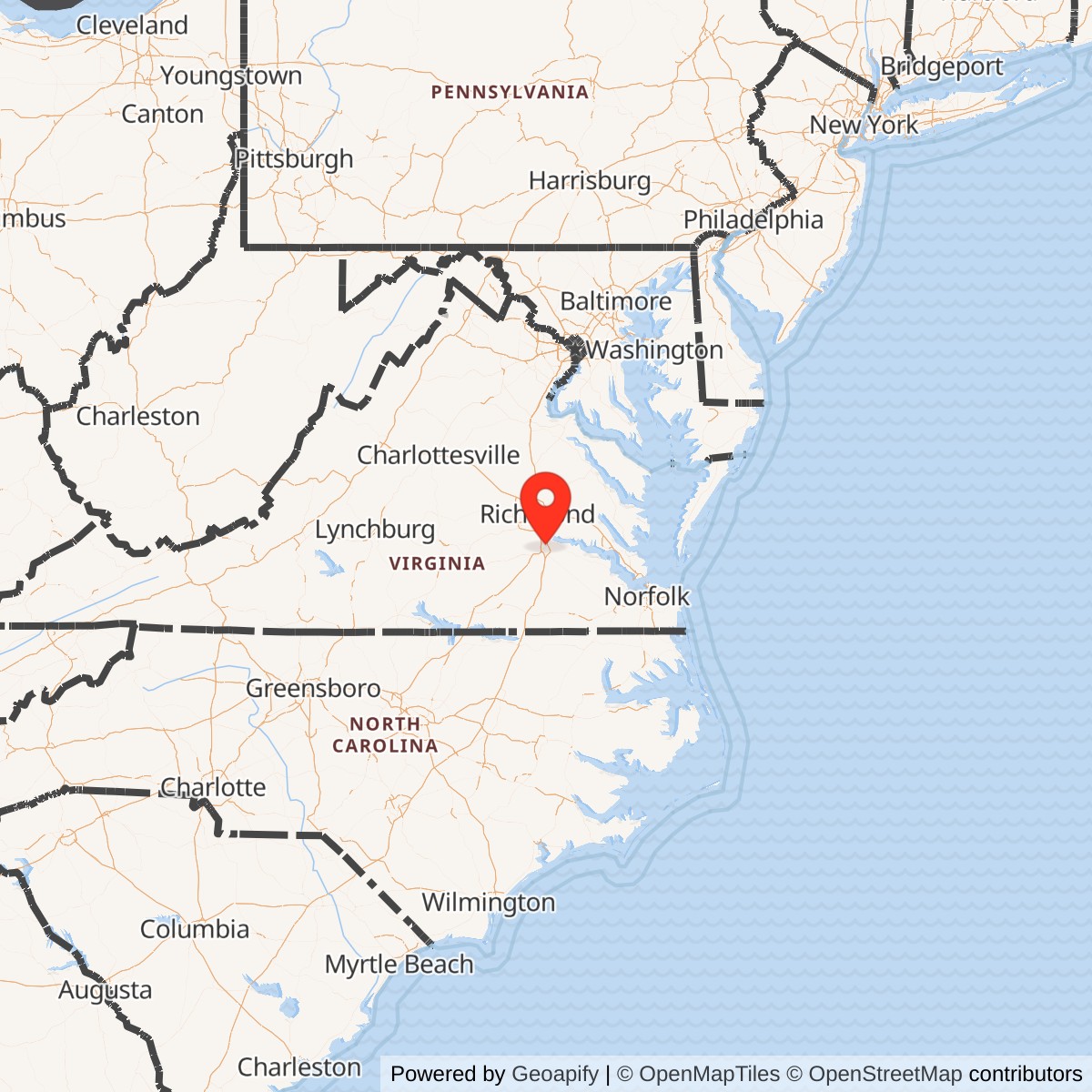
Longitude: -77.343
Fort Lee Air Force Station was a United States Air Force radar installation located near Petersburg, Virginia. It operated as part of the nation's air defense network during the early Cold War, providing radar surveillance and aircraft control to protect the mid-Atlantic region from potential aerial threats.
Activated in 1956, the station became a node in the Air Defense Command's radar network, which monitored U.S. airspace for hostile aircraft. The 649th Radar Squadron operated long- and short-range radar equipment to detect and track airborne targets, feeding data to direction centers through the Semi-Automatic Ground Environment (SAGE) system.
In the 1960s, technological advances and changing defense priorities led to the gradual reduction of manned radar sites. Fort Lee Air Force Station was eventually downgraded and deactivated in 1975, with its functions absorbed by other facilities in the region. The property was returned to the U.S. Army's jurisdiction at nearby Fort Lee.