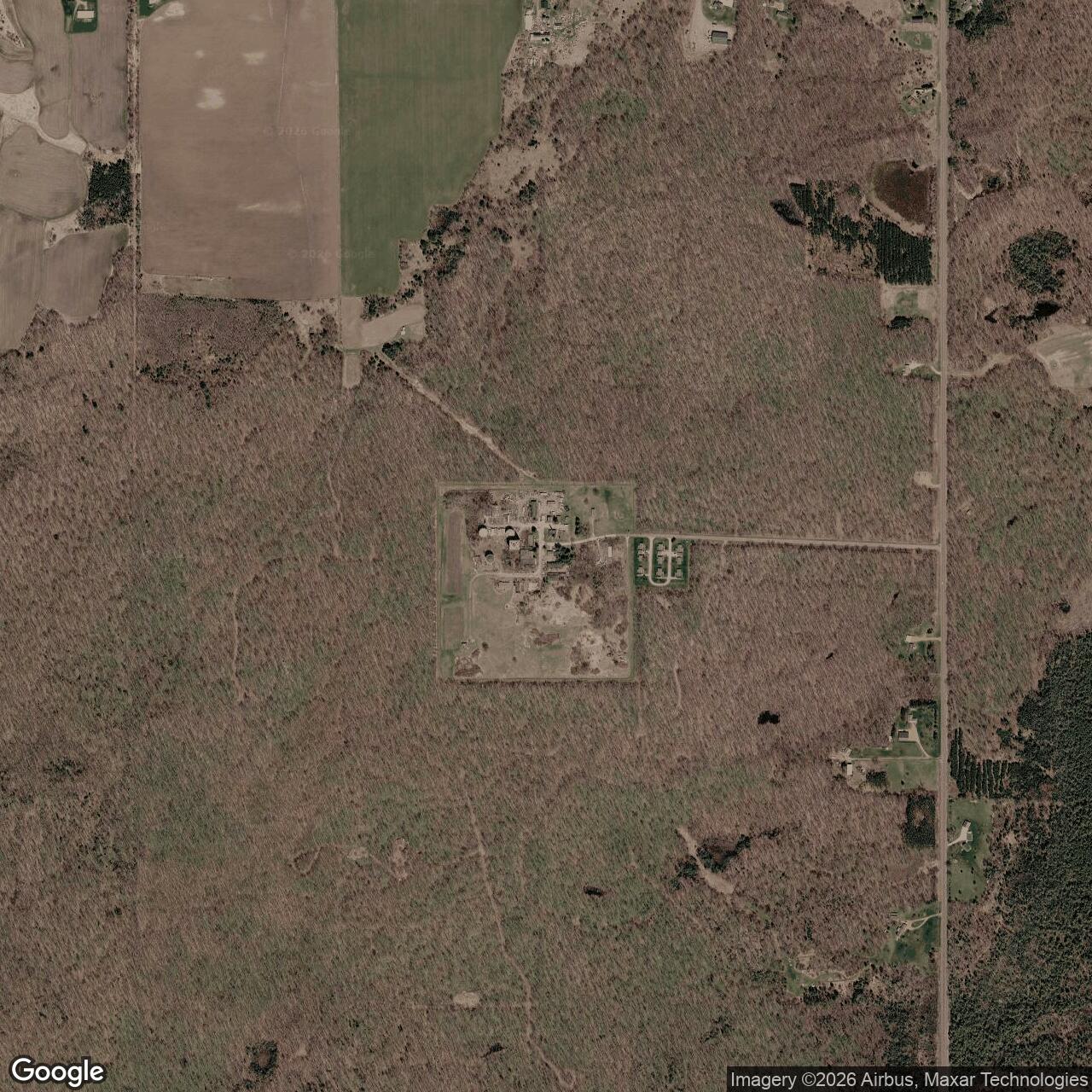
Antigo Air Force Station, Wisconsin
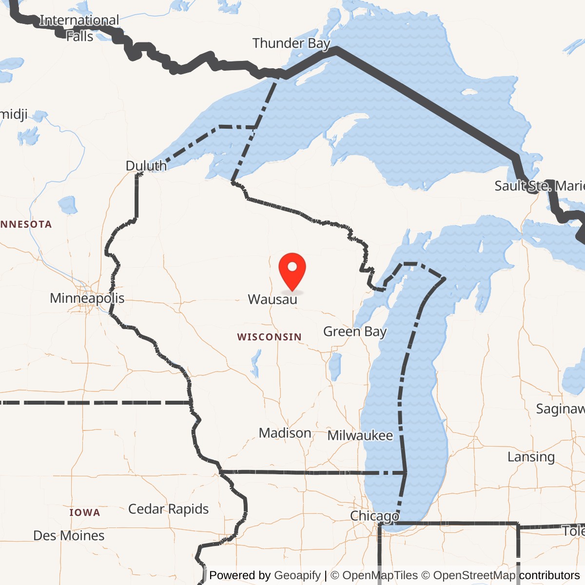
Longitude: -89.23389
Current Role: Abandoned
Antigo Air Force Station was a United States Air Force General Surveillance Radar installation operating from 1952 to 1977 in Langlade County, Wisconsin (ZIP 54409). It served as part of the Air Defense Command network during the Cold War, monitoring Midwestern airspace for potential Soviet incursions.
Commissioned amid Korean War-era defense expansion, the station began with AN/FPS-3 and AN/FPS-4 radars for ground-control intercept and early warning. Controllers guided interceptor aircraft toward unidentified targets. By 1958 its equipment evolved to include an AN/FPS-20 search radar and AN/FPS-6 height-finder units, reflecting broader upgrades across the Air Defense Command network.
In 1960 Antigo joined the Semi-Automatic Ground Environment (SAGE) system, which linked regional radars to computer-driven direction centers. An FST-2 digital transmitter sent radar data to facilities such as the K.I. Sawyer and Duluth direction centers, automating interceptor control. A massive AN/FPS-35 radar replaced older models in 1962, followed later by AN/FPS-90 height-finders.
The 676th Squadron-renamed the 676th Radar Squadron (SAGE)-operated the site continuously, maintaining remote "gap-filler" radars at Norway (Michigan), Two Creeks (Wisconsin), and Brooks (Wisconsin) to close low-altitude coverage gaps. At its peak, the base supported about 100 personnel and included barracks, operations buildings, housing, and a Ground-to-Air Transmitter-Receiver site.
Deemed redundant by newer long-range systems, Antigo AFS was deactivated June 30, 1977. The facility has since remained abandoned, with some foundations and tower remnants still visible on topographic maps of the Aniwa, WI quadrant. Its remnants represent one of many mid-century radar stations that once formed North America's aerial defense shield.