×
![]()
×
![]()
Titan II 533-9 Missile Silo McConnell AFB Kansas
Do you have a correction, comment, or story you would like to share about this location? Please tell us about it in the comments below.
Titan II 533-9
Wing: 381st SMW
Squadron: 533rd SMS
Date Activated: August 1st 1962
Date Deactivated: November 1st 1985
State: Kansas
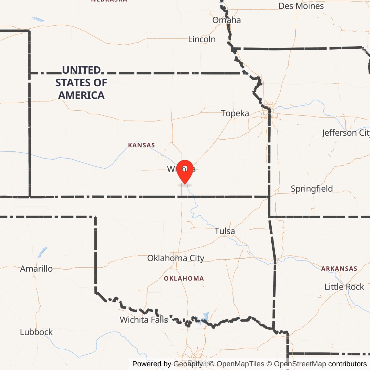
Nearest Town: Oxford
Coordinates:
Latitude: 37°17'35.36"N
Longitude: 97°13'38.38"W
Decimal:
Latitude: 37.293156
Longitude: -97.227328
GPS:
Latitude: 37 17.5893333333333
Longitude: -97 13.6396666666667
Longitude: 97°13'38.38"W
Decimal:
Latitude: 37.293156
Longitude: -97.227328
GPS:
Latitude: 37 17.5893333333333
Longitude: -97 13.6396666666667
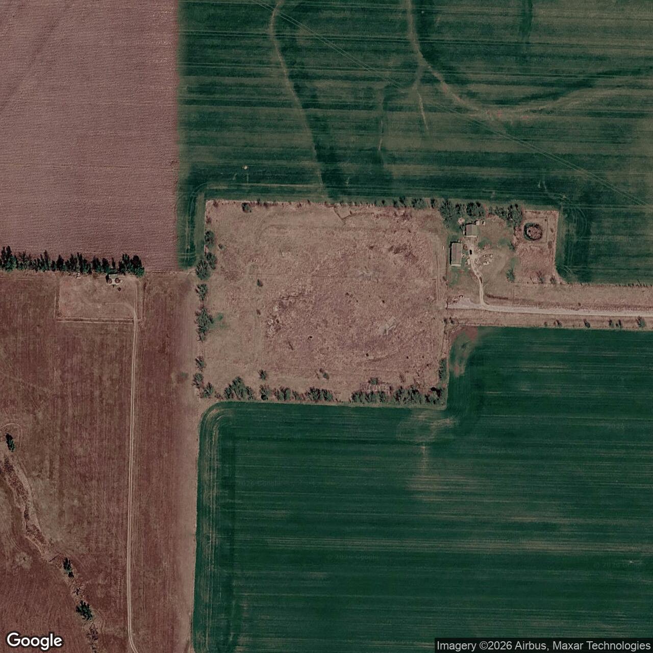
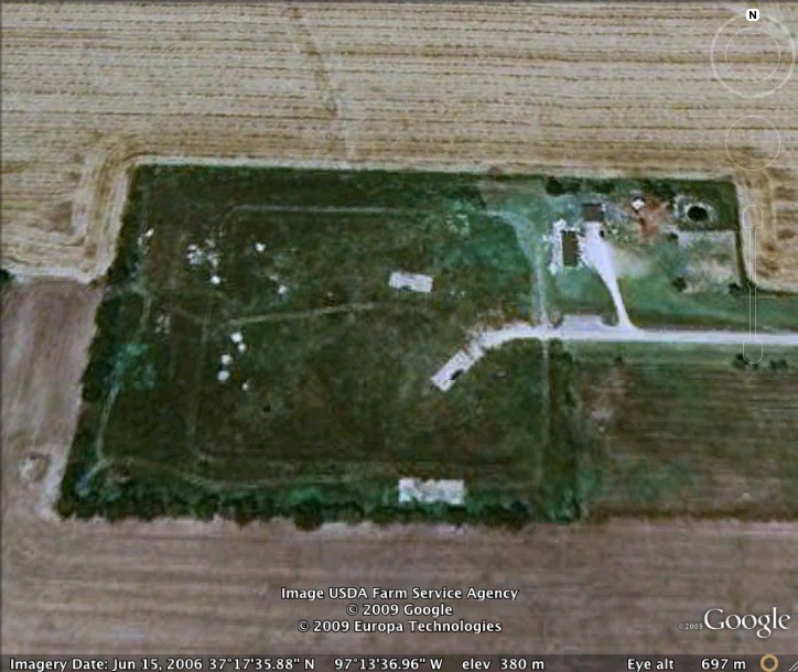
Former Titan II Missile Silo
View the satellite image of the intact Titan II silo at the museum to see what this site would have looked like when operational
Read about the Titan II at McConnell AFB
List of all Titan II site Coordinates and locations
Do you have a correction, comment, or story you would like to share about this site? Please tell us about it in the comments below.