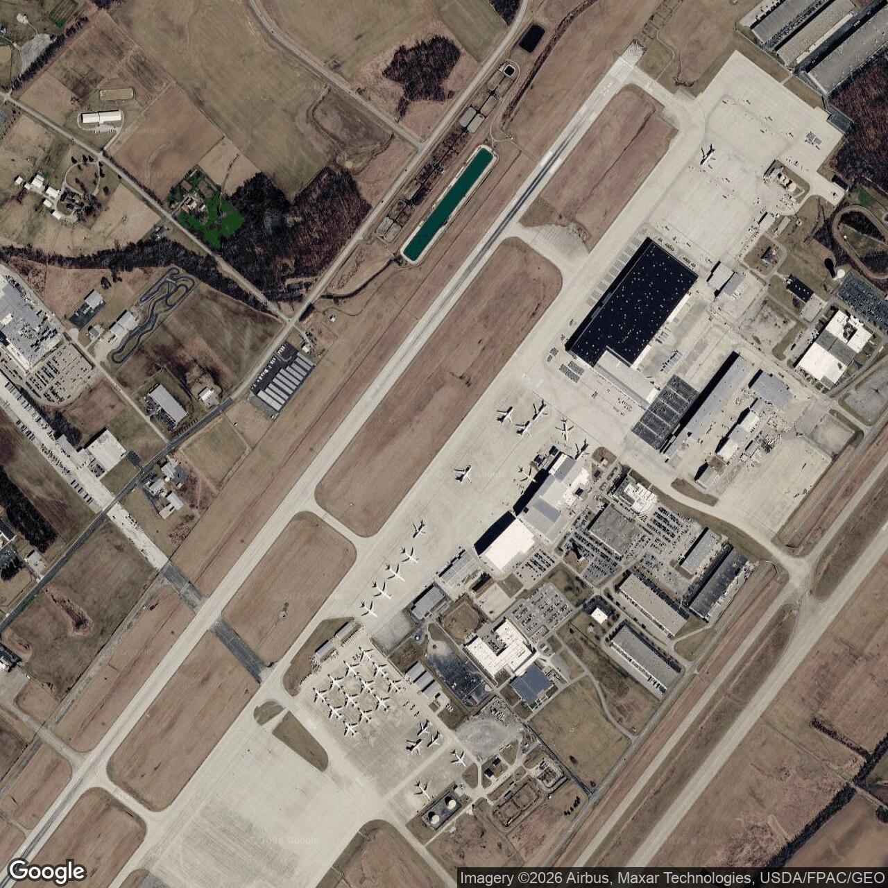
Clinton County Air Force Base, Ohio
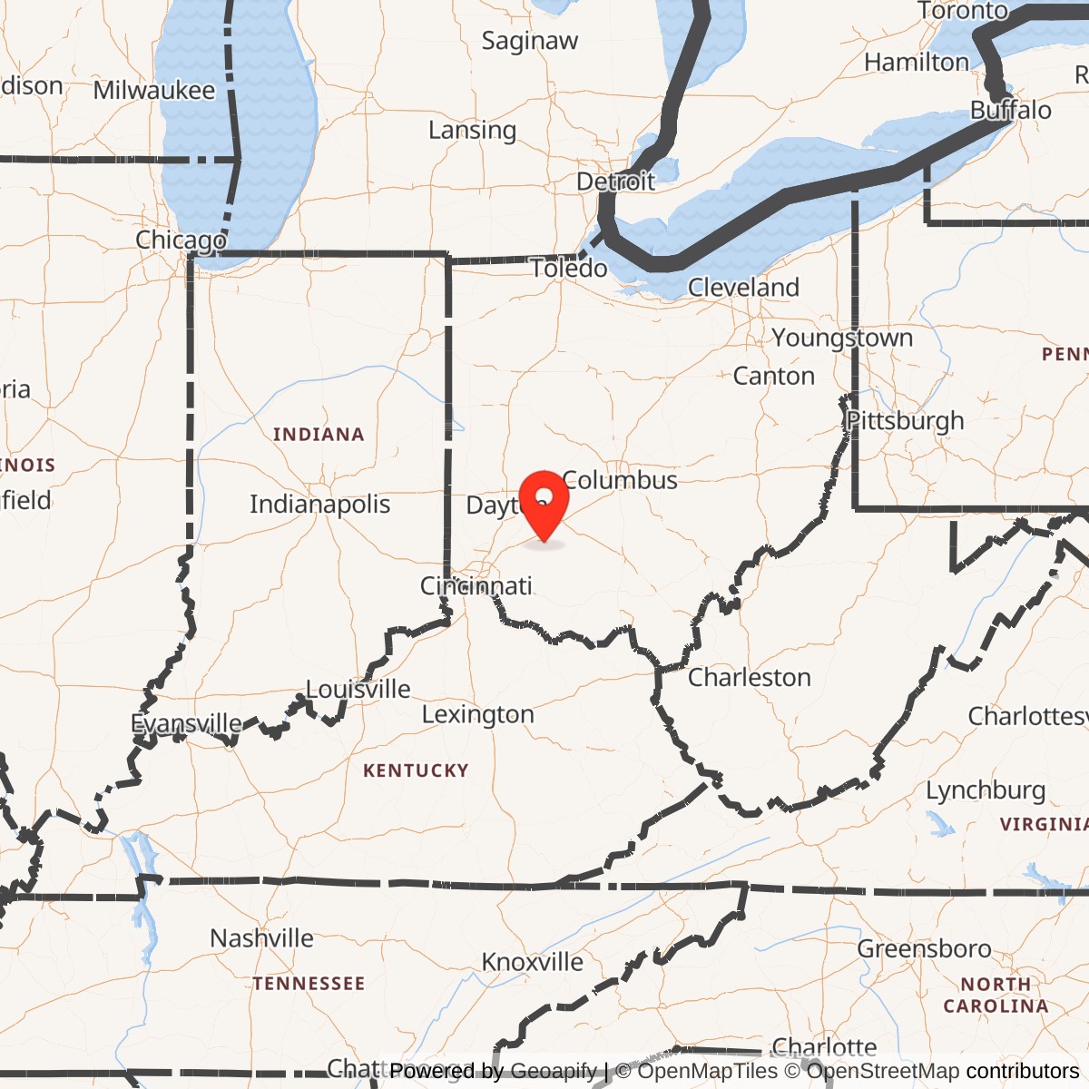
Longitude: -83.7920
In 1929, a group of local aeroplane enthusiasts initiated flying activities at what would later become Wilmington Airport.
Barnstomer Stormy Roderick was hired as an instructor and an old cornfield was used for the landing strip. Soon, Stormy was staging Sunday afternoon shows and attracting large crowds to the borrowed field.
In 1930, a small hangar was built. In 1933, the Civil Works Administration approved the landing strip and later that year, American Airlines wanted the strip as an emergency landing field. American Airlines invested the first private money for their line from Columbus to Cincinnati. The Civil Aeronautics Authority took over Wilmington Airport in 1940 as an emergency landing field.
In 1942, the Army Air Corps assumed control of the field and laid the first coat of concrete paving on the runway of what they called Clinton County Army Air Field.
During World War II, gliders soared over the area as The Air Material Command used Clinton County Air Field for glider research, training and development until the end of the war. The base was used by the All-Weather Flying Division until 1949, when the base was "put in mothballs".
By 1948, there were 804.72 acres of ground in all: 338 acres were covered by the air field and runways; 329 improved acres of seeded grass parking lots; 58 acres of unimproved ground; two runways, each 6,000 feet long and 150 ft wide each; and 75 buildings including four large hangars.
As a result of the Korean conflict, the base was reopened by Continental Air Command in 1951. It saw a variety of tenants, including several Air Reserve training groups; the training, administration and management of certain Air Reserve Centers; along with other duties.
In 1958 the 249th Air Reserve Training Wing was created and assigned to Clinton County Air Force Base. The Air Reserve Technician program was set up at the Base. Base personnel were expected to grow from a population of 500 in 1958 to 3,100 in 1960.
In 1960, the 6,000-foot runway was extended 3,000 feet to 9,000 feet. Jurisdiction of Clinton County Air Force Base was transferred from the Continental Air Command to the Strategic Air Command (SAC).
The purpose of the SAC was to maintain a peacetime force strong enough to discourage enemy aggression. SAC was one of three Air Commands of the Air Force made permanent by an Act of Congress; the unit-type stationed in Clinton County was an Air Refueling Unit, using KC-97 aircraft. A new Reserve Forces Hanger (now 1003) was built in 1960.
The U.S. Department of Defense closed The Clinton County Air Force Base in September of 1971. One thousand five hundred thirty people, including 600 civilians were at the Base as of March 31, 1971. Operations were relocated to Lockbourne Air Force Base in Columbus. A group of concerned citizens visited Washington D.C. seeking revocation of the closure order, but the Base remained closed. When the Base closed in 1971, it took away $9 million in payroll and $400,000 spent locally each year for goods away from the Wilmington community.
A community group, The Community Improvement Corporation (CIC), petitioned the Secretary of Defense with plans for an Industrial Air Park in an effort to keep the base active. On June 6, 1972, the air base was decommissioned by the military and the community started to develop the Industrial Park as planned and presented to the Secretary of Defense.
Through combined efforts of government and citizen representatives, the area later became the home of a Great Oaks Joint Vocation School, Southern State Community College and an Industrial Park. Many of the streets and roads in the Air Park are named for the people who worked so diligently to convert the former military base into the air park.
More Photos and History of the Base can be found here.
National Weather Service Thunderstorm Project.