
×
Do you have a correction, comment, or story you would like to share about this location? Please tell us about it in the comments below.
Florence Army Air Field - Now Florence Regional Airport, South Carolina
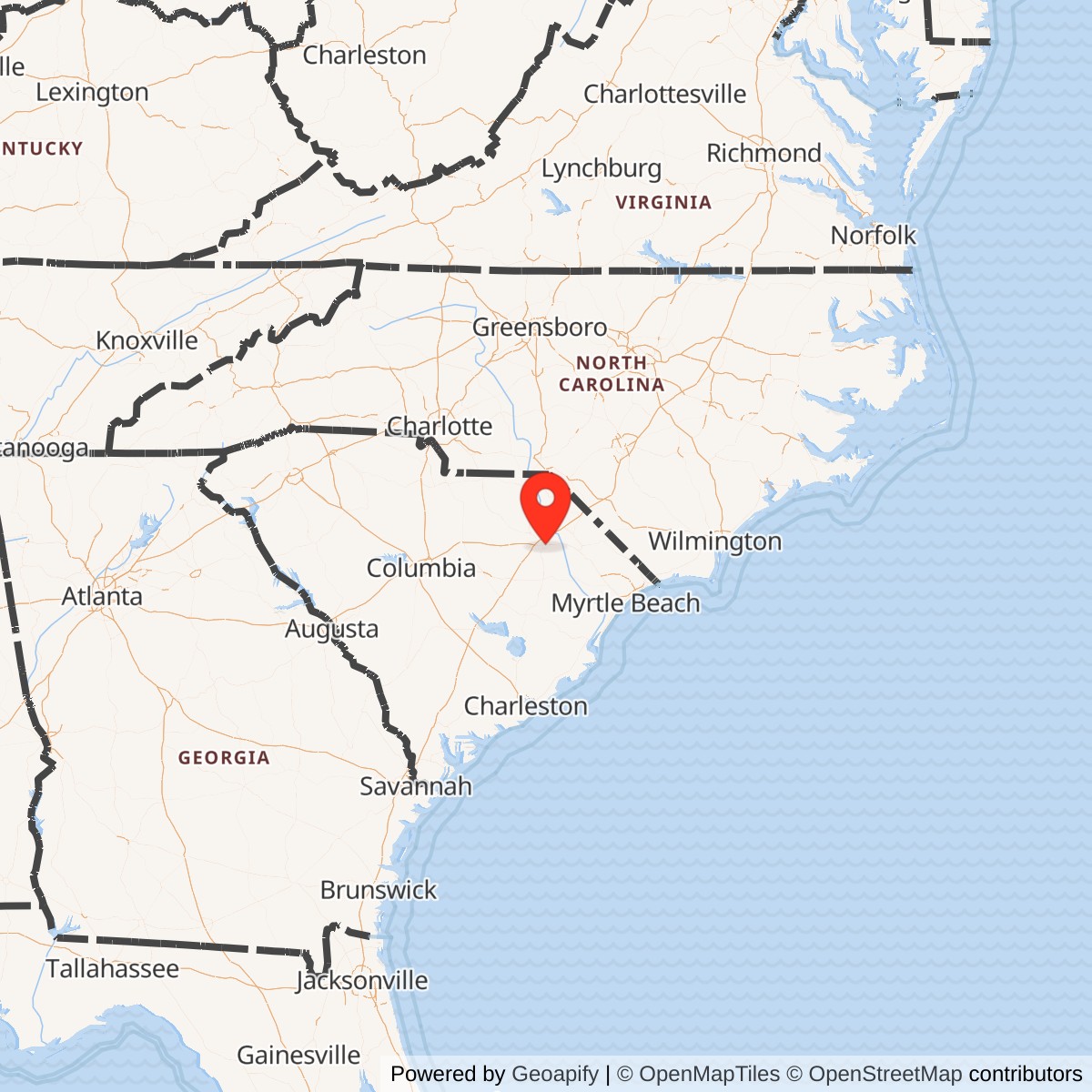
Latitude: 34.1854
Longitude: -79.7239
View on Google MapsLongitude: -79.7239
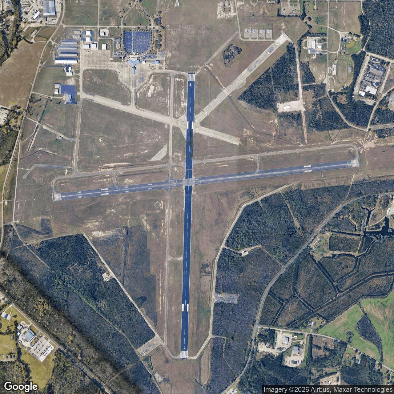
Constructed in 1943, Florence Army Airfield was part of the Army Air Forces Eastern Flying Training Command network. It primarily conducted advanced and replacement training for fighter and bomber pilots preparing for overseas deployment. The base featured multiple runways, maintenance hangars, and support facilities typical of wartime training airfields.
After World War II ended, the airfield was deactivated and transferred to local authorities under the Surplus Property Act. The site was repurposed for civilian aviation and now operates as Florence Regional Airport. Some wartime structures and layout elements remain integrated into the modern airport.
Do you have a correction, comment, or story you would like to share about this site? Please tell us about it in the comments below.