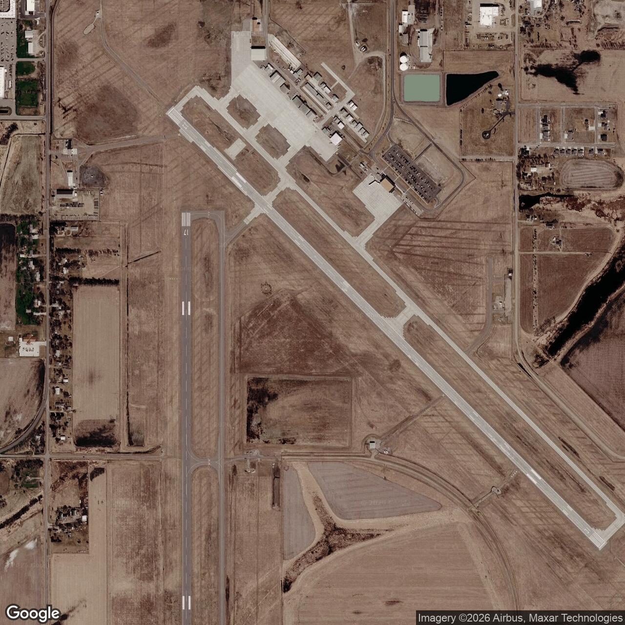
Aberdeen Army Airfield, South Dakota
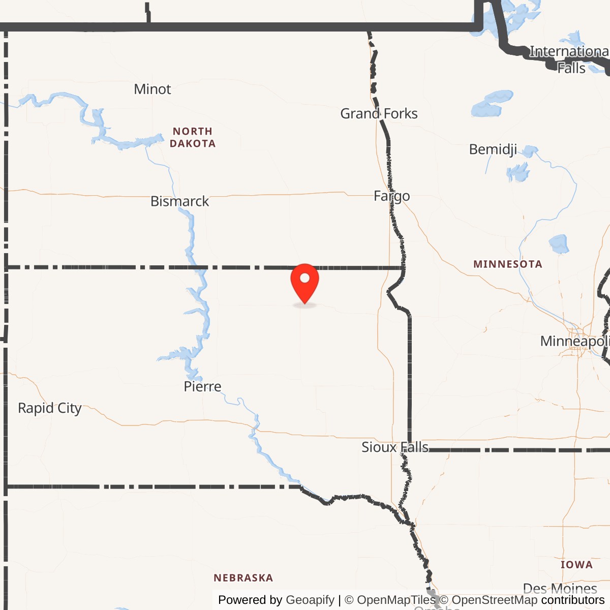
Longitude: -98.4218
Aberdeen Army Airfield was a World War II-era military airfield built near Aberdeen, South Dakota,. It served as a training and support facility for the U.S. Army Air Forces, contributing to pilot and crew readiness during the war before transitioning to civilian use afterward.
Aberdeen Army Airfield was part of the Army Air Forces' expansion across the Midwest to meet wartime training demands. Its open terrain and relative isolation made it ideal for basic flight instruction, navigation exercises, and aircraft maintenance operations. The field supported both primary flight schools and auxiliary training activities under the oversight of regional commands.
After 1945, the airfield's military mission ended as training requirements declined. The property was transferred to local authorities and redeveloped as a municipal airport. Its wartime infrastructure provided a foundation for modern aviation facilities serving northeastern South Dakota.