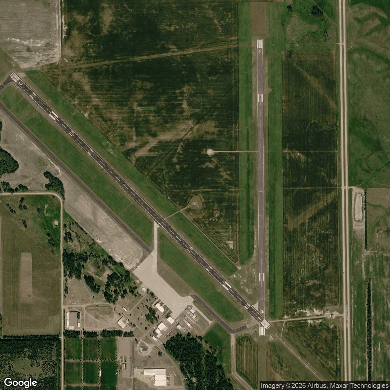
Mitchell Army Air Field, South Dakota
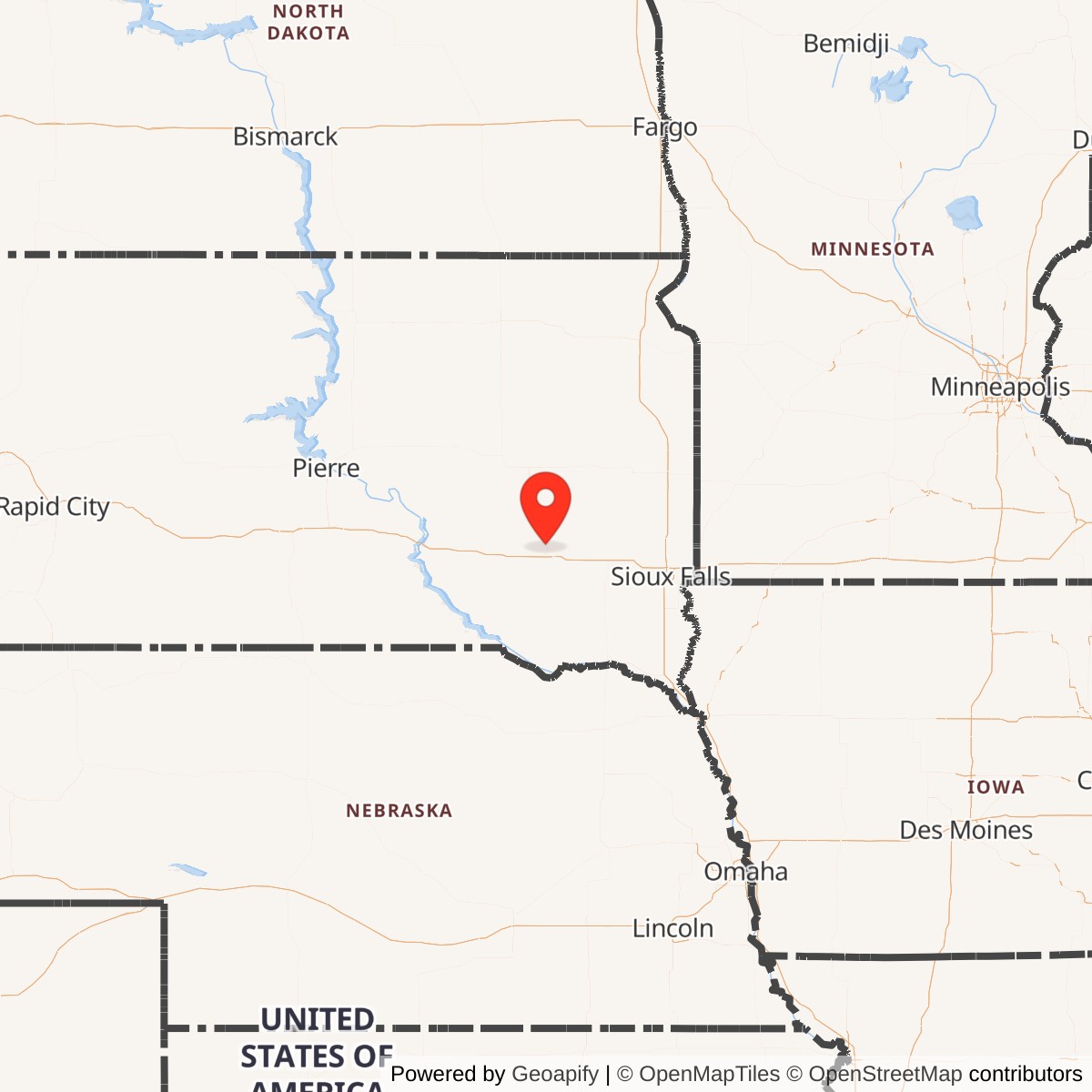
Longitude: -98.0386
Mitchell Army Airfield was a U.S. Army Air Forces training facility located near Mitchell, South Dakota. Established during World War II, it served primarily as a satellite and auxiliary airfield for pilot instruction and operational support. After the war, it was deactivated and transitioned to civilian use.
Mitchell Army Airfield was constructed to meet the surge in training needs during World War II. It operated under the Army Air Forces Flying Training Command, supporting both primary and advanced pilot training programs. The airfield also handled maintenance and logistics functions for training squadrons assigned to the region.
Following the end of World War II, the U.S. Army Air Forces closed the installation as part of nationwide demobilization. Ownership transferred to local authorities, and the site became Mitchell Municipal Airport, which continues to serve regional aviation needs today. Remnants of its military origins remain visible in some airfield infrastructure.