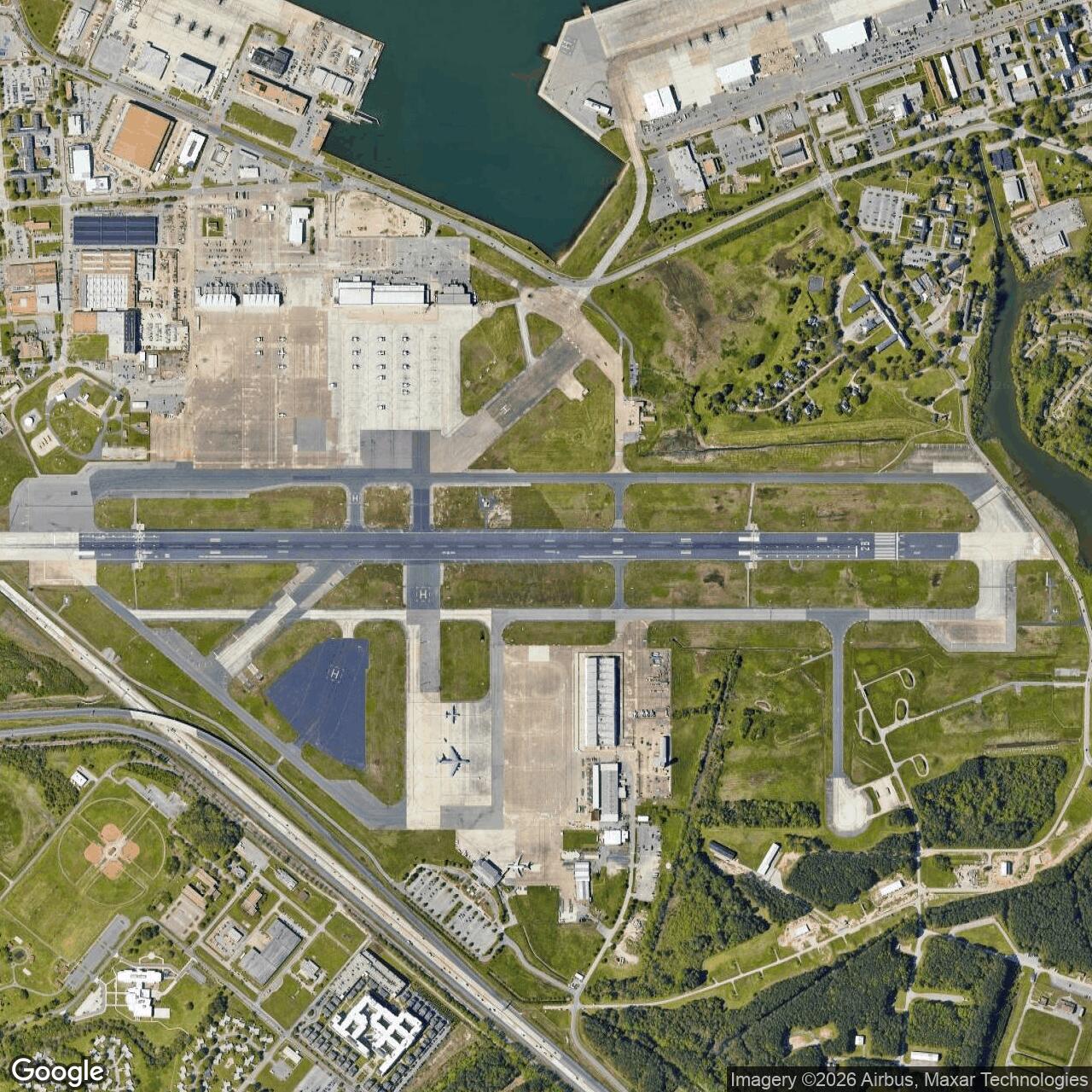
Norfolk Army Air Field, Virginia
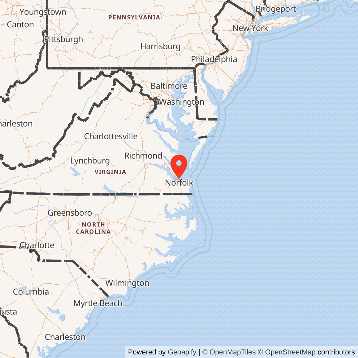
Longitude: -76.287199
Norfolk Army Air Field was a major World War II-era U.S. Army Air Forces installation in Norfolk, Virginia. It served as a key training and logistics hub for coastal defense and antisubmarine operations along the U.S. East Coast. The base later transitioned to naval control and remains active as part of Naval Station Norfolk operations.
Activated in 1940 under the U.S. Army Air Forces, Norfolk Army Air Field was strategically positioned to guard the entrance to the Chesapeake Bay. It supported coastal patrols, antisubmarine flights, and training missions using aircraft such as the B-24 Liberator and various reconnaissance planes. The field also functioned as a staging point for transatlantic flights and logistical operations supporting the European theater.
In 1943-44, as the U.S. Navy expanded its aviation facilities, the airfield's command gradually shifted to naval jurisdiction. It merged operationally with nearby Naval Operating Base Norfolk, eventually becoming Naval Air Station Norfolk. This transition reflected broader consolidation of coastal aviation assets under Navy control to streamline antisubmarine warfare and Atlantic convoy protection.