×
![]()
×
![]()
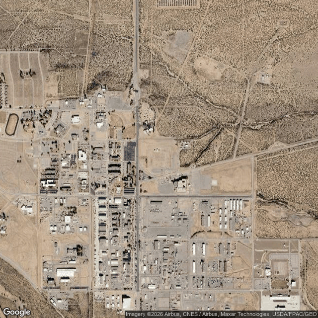
White Sands Missile Range, New Mexico
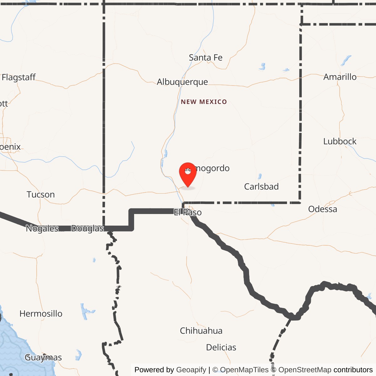
Latitude: 32.382613
Longitude: -106.477605
View on Google MapsLongitude: -106.477605
Approximate Base Size: 2048000 Acres
Current Role: Active Army Test and Evaluation Command / White Sands Test Center range; Department of Defense's largest fully instrumented open-air land test range; supports Army, Navy, Air Force, NASA, other agencies, allies, partners, commercial and international users; includes Condron Army Airfield (KWSD), WSMR Museum and Missile Park, and controlled access to Trinity Site.
White Sands Proving Ground was established on 1945-07-09 in the Tularosa Basin, one week before the Trinity nuclear test at the range's northern end. It became the Army's principal missile and rocket proving ground after 300 rail cars of captured German V-2 components arrived in 1945. LC-33 supported the WAC Corporal, V-2, Bumper, Nike, Corporal, Honest John and other early missile and space programs. The installation evolved into White Sands Missile Range, a tri-service and interagency RDT&E range supporting missile, rocket, air-defense, space, sensor, directed-energy, countermeasure, unmanned-system, environmental and training missions. Condron Army Airfield is the active military airfield associated with the range.