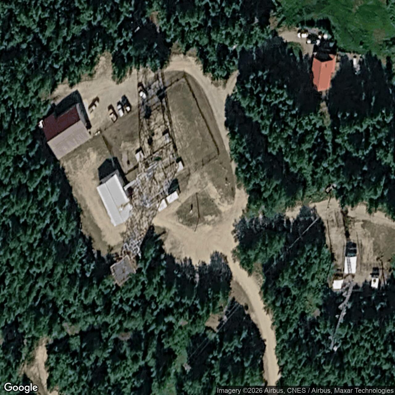
Harding Lake Radio Relay Station, Alaska
An unattended microwave link on the White Alice route that carried Clear missile-warning communications through Interior Alaska.
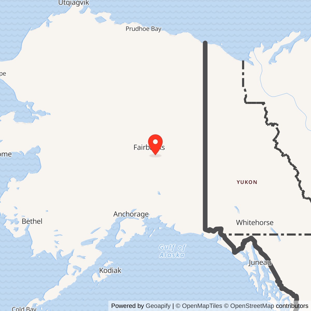
Longitude: -146.955734
Harding Lake Radio Relay Station was a U.S. Air Force communications site near Alaska's Richardson Highway. On the White Alice Communications System rearward route, its TD-2 microwave equipment relayed traffic between Pedro Dome and Donnelly Dome. It supported the communications network for Clear's Ballistic Missile Early Warning System (BMEWS), but Harding Lake was not itself a radar station. [1] [2]
- Military role
- Unattended White Alice/BMEWS communications repeater.
- Radio system
- TD-2 line-of-sight microwave, not billboard-reflector troposcatter.
- Direct links
- Pedro Dome, about 46 miles; Donnelly Dome, about 54 miles.
- Area
- Richardson Highway mile 318-320 vicinity, Interior Alaska.
- Approximate map point
- 64.409 N, 146.950 W; area reference, not a surveyed antenna location.
Military Construction and Mission
The Air Force expanded White Alice around 1960 to provide a dependable rearward communications path for the new BMEWS installation at Clear. The Army Corps of Engineers lists Harding Lake on the A Route, a chain of TD-2 microwave stations built in 1960 and opened in 1960 or 1961. Harding Lake was an intermediate link in that long-distance route, not a stand-alone local telephone station. [1]
The Corps describes two rearward BMEWS paths: the A Route ran toward Southeast Alaska and the Ketchikan-Seattle submarine cable, while the B Route crossed east through Canada. Both ultimately connected the warning system to NORAD. Harding Lake linked the Fairbanks-area network with the Richardson Highway relays on the A Route. [1]
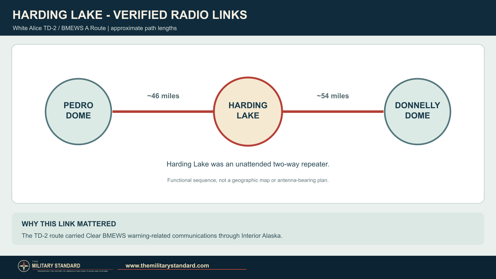
The Air Force's 1983 system study calls Harding Lake an unattended two-way repeater. Its TD-2 line-of-sight equipment was distinct from the huge billboard-shaped troposcatter reflectors at many other White Alice sites. [1] [2]
The Route Through Harding Lake
The Corps inventory gives Harding Lake's direct paths as Pedro Dome, approximately 46 miles to the northwest, and Donnelly Dome, approximately 54 miles to the southeast. Pedro Dome was a major Fairbanks-area White Alice and switching location; Donnelly Dome carried the route toward Black Rapids and other southern relays. Harding Lake received and retransmitted traffic between its two neighbors as the network carried warning-related communications away from Clear. [1] [2]
Pedro Dome combined troposcatter and microwave functions and connected several Fairbanks-area circuits. Donnelly Dome connected onward to Black Rapids. Harding Lake was the intervening repeater, not a switching hub. That distinction explains why the installation could be unmanned while remaining important to a much longer defense communications route. [1] [2]
The Station and Its Setting
The 1983 Air Force study locates the station near Richardson Highway mile 318. A 1976 federal radio notice places a Harding Lake microwave site near mile 320. A later federal microwave-license listing places a Harding Lake-area facility at approximately 64.409 N, 146.948 W. The rounded page map point, 64.409 N, 146.950 W, marks the vicinity of the historic relay. [2] [3] [4]
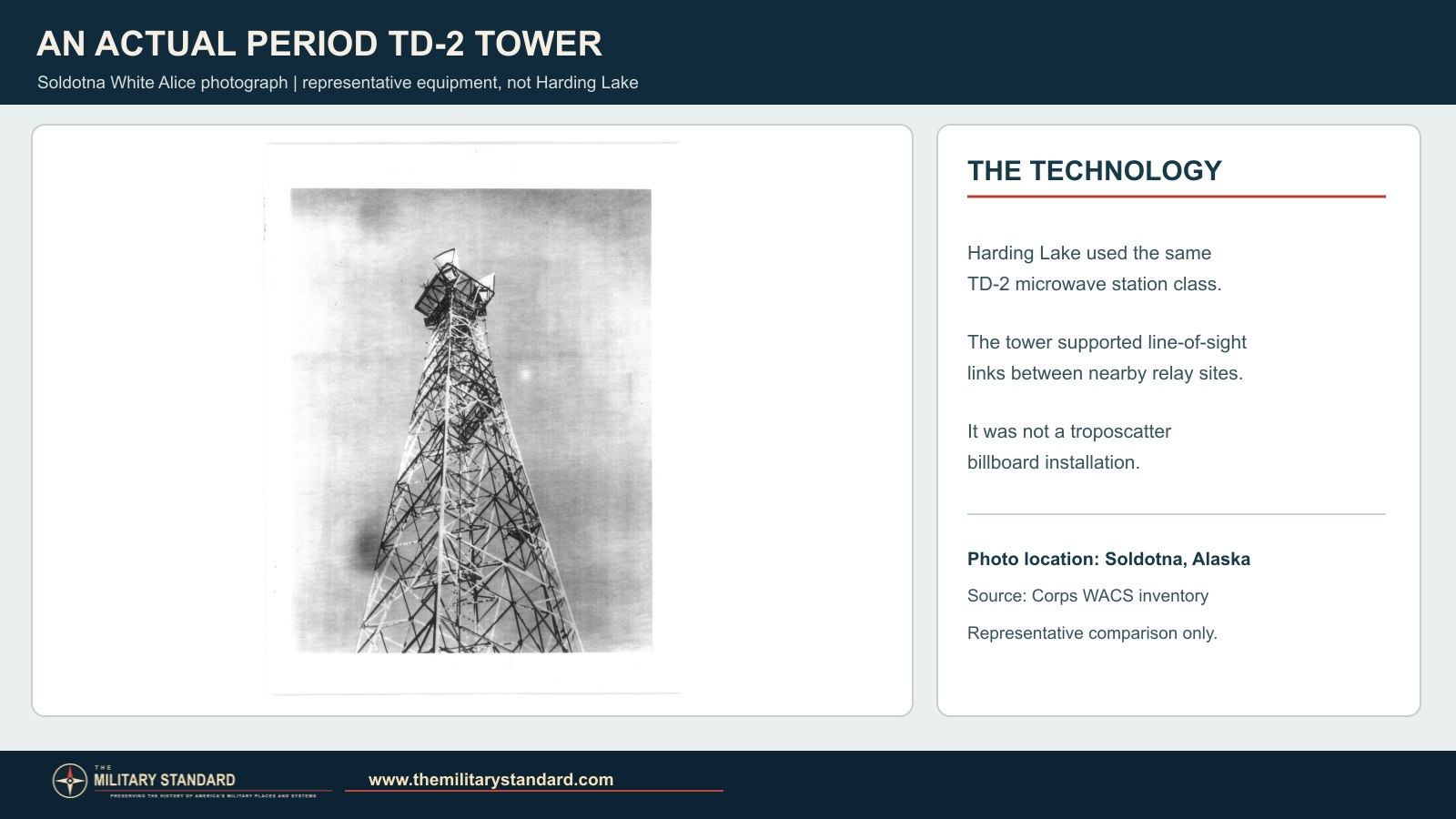
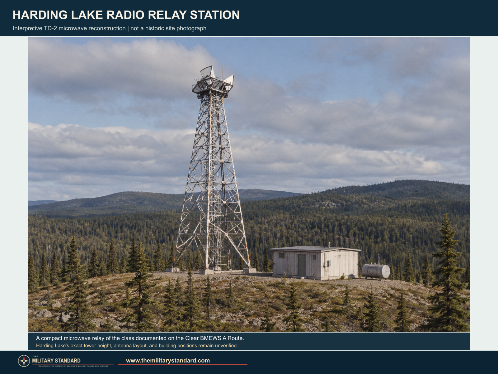
The Corps describes the route's typical relay as a TD-2 tower with a radio building and fuel storage. The interpretive image below depicts that station class in an Interior Alaska setting. It is a reconstruction, not an archival photograph or a measured plan of Harding Lake. [1]
At a TD-2 repeater, directional antennas and waveguides carried the incoming signal to indoor radio equipment for amplification and retransmission toward the next station. The Corps' photographic record of Rabbit Creek shows batteries and standby generation supporting the same equipment family. It helps explain the demands of an unattended relay. [1]
Later Telecommunications Use
RCA Alascom began operating White Alice under a 1976 lease. A December 1976 federal notice recorded RCA microwave applications at Harding Lake. RCA expressed interest in buying TD-2 properties along Alaska's road network in 1977, followed by a broad Air Force appraisal in 1978. The 1983 sale study continued to describe Harding Lake as a two-way repeater. Those records trace the network's commercial transition but do not give this station a precise military deactivation date. [2] [3]
Chronology
- 1960-1961 The BMEWS rearward White Alice TD-2 route is built and placed in service, including Harding Lake.
- 1976 RCA Alascom begins operating White Alice under lease.
- December 27, 1976 A federal notice records RCA microwave applications at Harding Lake.
- 1978 Harding Lake appears among TD-2 properties in the Air Force appraisal program.
- October 1983 An Air Force study describes Harding Lake as an unattended two-way repeater between Pedro Dome and Donnelly Dome.
- 1988 The Army Corps inventory lists Harding Lake's two radio paths on the BMEWS A Route.
Information sources (4)
- PDF[1] Historical Overview and Inventory: White Alice Communications System, U.S. Army Corps of Engineers, 1988
Source for: BMEWS A Route, Harding Lake's Pedro Dome and Donnelly Dome links and approximate distances, TD-2 station class, and general 1960-1961 construction period.
- PDF[2] A Special Study of the Sale of the White Alice Communications System, 1931st Communications Group / U.S. Air Force, October 1983
Source for: unattended two-way repeater description, neighboring stations, Richardson Highway mile 318, 1976 lease, and 1983 TD-2 property review.
- PDF[3] Federal Register, December 27, 1976, RCA Alascom microwave applications
Source for: Harding Lake microwave licensing and general Richardson Highway location.
- PDF[4] Microwave Public Safety Pool, Federal Communications Commission, May 2002
Source for: later Harding Lake-area microwave-license coordinates; a vicinity check, not a surveyed 1960s White Alice antenna position.