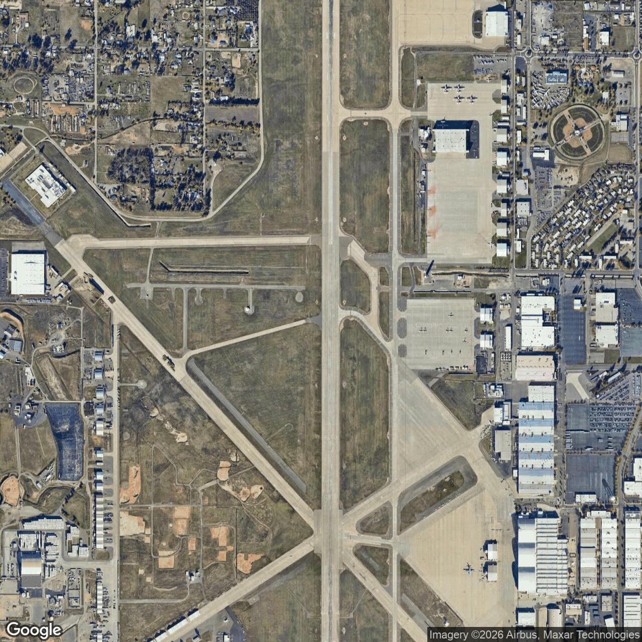
McClellan Air Force Base, Sacramento California
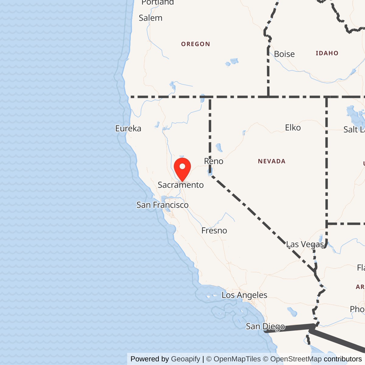
Longitude: -121.4010
Origin of current name: Named in honor of Maj Hezekiah ("Hez") McClellan (1894-1936). Posthumous recipient of the DFC, Major McClellan prepared early charts and records while pioneering Alaskan air routes. He died on 25 May 1936 when his Consolidated PB-2A, which he was flight-testing, crashed near Centerville, OH.
Date current name was assigned to base: 13 Jan 1948
Previous Names: Pacific Air Depot (unofficial), 1935; Sacramento Air Depot, 1 Feb 1937; McClellan Field, 1 Dec 1939
Changes in Capability: Main structures including administration building, barracks, and hospital completed 18 Apr 1938; at time of dedication, 29 Apr 1939, depot and airfield facilities provided capability of repairing and overhauling 1,200 aircraft per year; P-38 and P-39 assembly lines supplemented by a P-40 line Jan 1940; base and depot used for storing aircraft, chiefly B-29s, following World War II; stored F-80s and F-86s during early fifties; Globecom building completed and occupied June 1951; 105-unit Wherry housing project completed mid-1952, when base population increased from 2,300 to 6,000; vehicle, special equipment repair, and communications repair buildings completed Dec 1952; major building project to accommodate McClellan's chief tenant organization, 8th Air Division (later replaced by 552d Airborne Early Warning and Control Wg), completed 1954-1956; 200-man dormitories and dining hall completed mid-1956; additional housing project completed 6 May 1960; runway improvement project completed mid-1961; depot became USAF's specialist for logistic support of space systems and expanded maintenance and support of ground electronics in early 1960s; aprons and nose docks completed June 1964; mission support responsibility for BMEWS, SAGE, and interceptor backup systems gained during 1965; seven airman dormitories completed Aug 1972; aircraft overhaul facilities completed in four stages between mid-1971 and Mar 1977; depot radar systems overhaul and testing facility completed Sep 1977; logistics material processing facility completed Feb 1978; weapons system component plating shop completed late 1980; waste water reclamation plant completed early 1981.
Major Changes in Status: None
Current Role: McClellan Airport and McClellan Park
McClellan Air Force Base was a major United States Air Force logistics and maintenance installation in Sacramento County, California. Operated from 1936 until 2001, it was one of the largest industrial employers in Northern California and played a key role in aircraft maintenance during multiple U.S. conflicts. Today, the site has been redeveloped as McClellan Park, a thriving mixed-use business hub and public airport.
Originally established as the Sacramento Air Depot, McClellan supported U.S. air operations across the Pacific during World War II, employing more than 21,000 civilians and service members. The base later provided maintenance and logistics during the Korean and Vietnam Wars and Operation Desert Storm, servicing aircraft such as the KC-135, A-10, F-15, and F-111.
The 1995 Base Realignment and Closure Commission ordered McClellan's shutdown, which became official on July 13, 2001. The closure cost more than 11,000 jobs but spurred a coordinated redevelopment led by Sacramento County and private developers. The transition maintained partial employment through "hot transfer" leasing that allowed businesses to occupy facilities before the final handover.
Now known as McClellan Park, the site houses over 230 businesses, government agencies, and the United States Coast Guard air unit. It is also home to California Department of Forestry and Fire Protection's aerial firefighting base and University of California, Davis. The transformation earned national recognition from the EPA for excellence in base reuse, symbolizing one of the most successful conversions of a military installation in the United States.