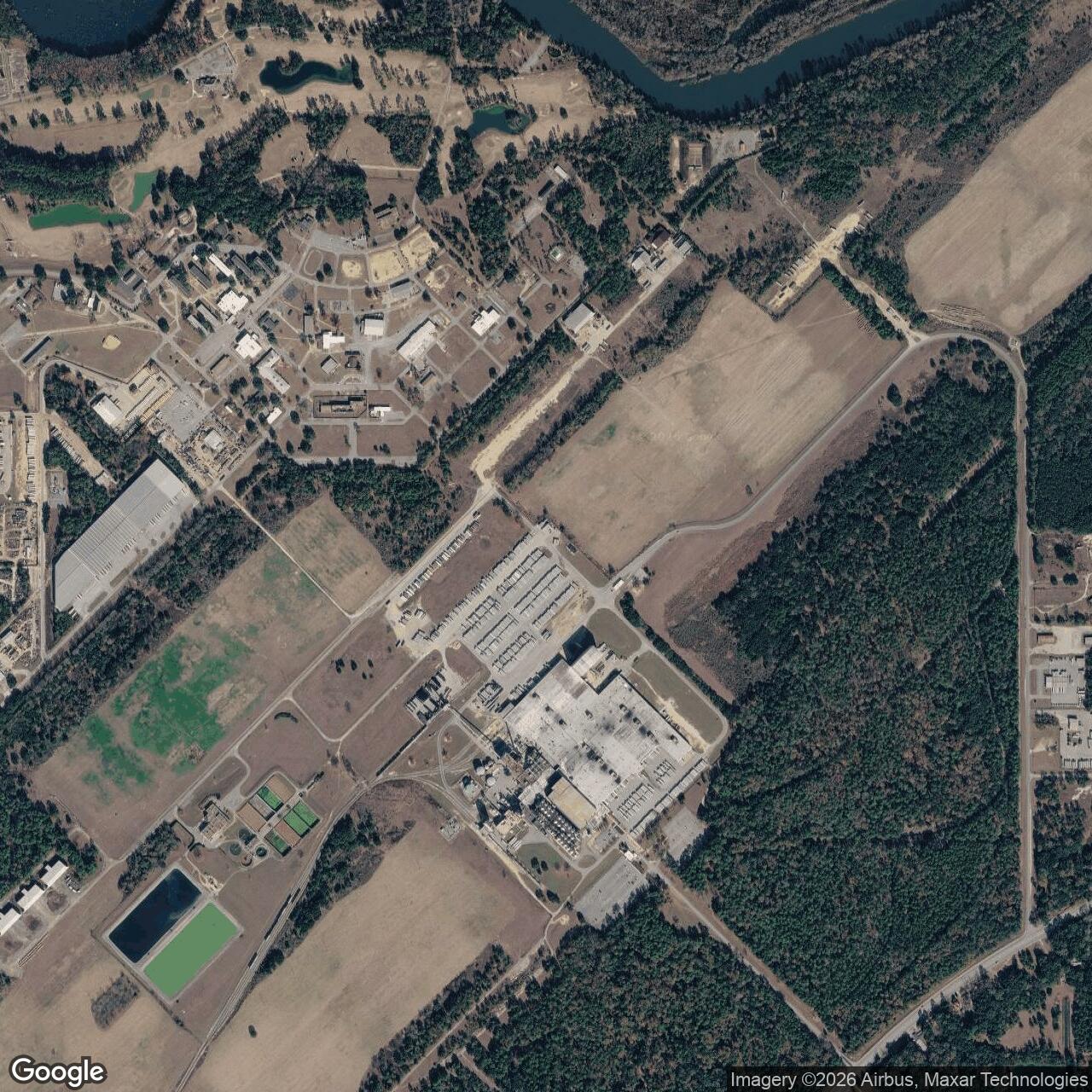
Turner Air Force Base Air Force Base, Georgia
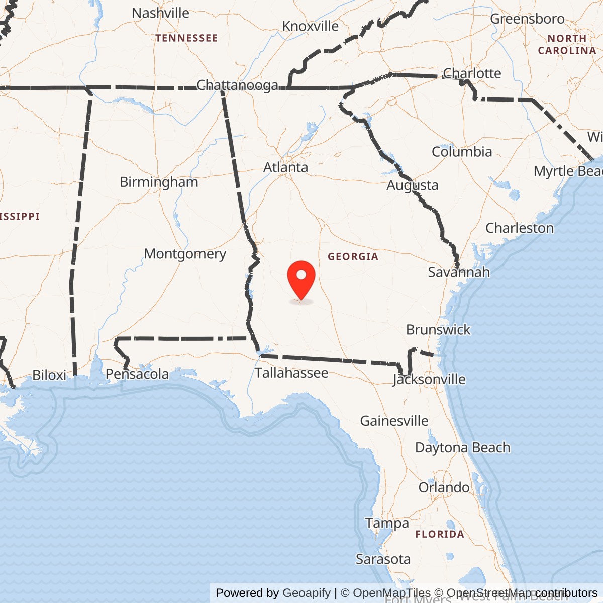
Longitude: -84.0891
Current Role: Molson Coors Brewery
In the summer of 1940, Army Air Corps personnel from Maxwell AAF contacted the Albany Chamber of Commerce about the possibility of locating a training base near the community, with the stipulation that local government purchase the property. Anticipating the economic benefit to the area, the local government accepted the proposal, and the Air Corps settled on a site 4 miles northeast of town in Dougherty County.
The city raised the necessary money and purchased 4,900 acres of land, which was then leased to the Army for $51 a year. Construction of the base and airfield, named Air Corps Advanced Flying School, Albany, by the United States Army Corps of Engineers began on 25 March 1941.
On 21 July 1941, the field was named Turner Field in honor of Lt. Sullivan Turner, a Georgia native killed in a midair collision.
World War II Era (1941-1946)
Turner Field was used for acclimatization training (for foreign trainees) and advanced flight training as part of the 30th Flying Training Wing. Under the Arnold Scheme, some 5,000 Royal Air Force trainees were trained at Turner Field and nearby Darr Aero Tech between 1941 and 1943. In 1944, Turner Field began training Free French Air Forces pilots to fly the North American B-25 Mitchell, of which more than 100 were based at Turner Field.Turner Field was deactivated on 15 August 1946 and maintained in caretaker status.
Reactivation & Cold War Build-Up (1947-1959)
On 1 April 1947, the airfield was reactivated. On 13 January 1948, it was renamed Turner Air Force Base.On 20 November 1947, the 31st Tactical Fighter Wing, equipped with North American F-51 Mustangs, moved there from Langley Field and remained until 25 August 1948.
In 1950, the base was transferred from Continental Air Command (CAC) to Strategic Air Command (SAC). The 40th Air Division was based at Turner from 14 March 1951 to 1 April 1957. The 508th Fighter-Escort Wing was based at Turner from July 1952 until 11 May 1956. The 4080th Strategic Reconnaissance Wing was established at Turner in May 1956 and based there until 1 April 1957.
The base was transferred from SAC to Tactical Air Command (TAC) in 1957, then returned to SAC on 1 January 1959 when the 822d Air Division was established there.
Strategic Air Command B-52 Era (1959-1967)
One of the component units of the 822nd Air Division was the 4138th Strategic Wing, which received its first combat aircraft when the 336th Bombardment Squadron, equipped with 15 B-52 Stratofortresses, moved to Turner from Biggs AFB, Texas.It was during this time that the Nike Missiles moved to Albany and established their headquarters at Turner Air Force Base, and the Mapping Service moved to Albany to create official maps of Mexico, Central America, and South America.
Sites were located near Armenia (TU-79) and Sylvester (TU-28), Georgia, and were operational between November 1960 and March 1966.
In February 1963, the 4138th Strategic Wing and 336th Bombardment Squadron were inactivated and the 484th Bombardment Wing was activated at Turner to assume the mission, aircraft, personnel, and equipment.
In December 1965, it was announced that Turner Air Force Base would be closed. The 484th BW was inactivated on 25 March 1967, and its aircraft assets were redistributed to other SAC units.
Naval Air Station Albany (1967-1974)
Community leaders accepted the major challenge of redevelopment of Turner Field, and by 1976 the first new industry (Kroger/Tara Foods) was acquired for one of the buildings.In 1979, the Miller Brewing Company purchased part of the former base as a site for a new brewery. The site is today associated with Molson Coors.