
Thule Air Base - (renamed Pituffik Space Base in 2023) Greenland
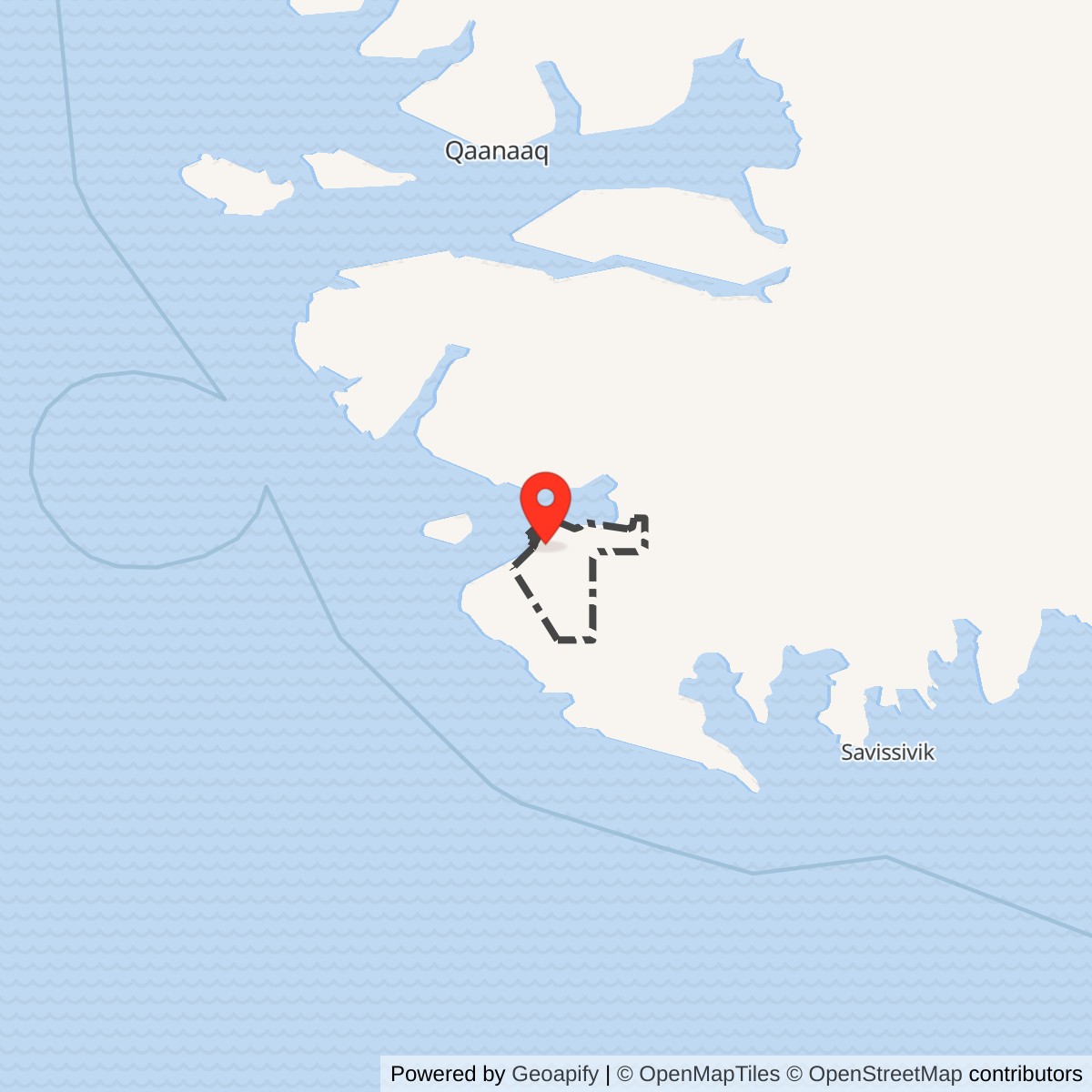
Longitude: -68.703
History
Thule Air Base, now Pituffik Space Base, is the northernmost U.S. military installation and one of the most strategically important Arctic bases. Located well above the Arctic Circle, it sits roughly midway between North America and Russia, making it a critical early-warning and surveillance point during the Cold War and into the present day.The modern base traces its origins to World War II weather and radio stations established after the United States assumed responsibility for Greenland's defense. However, the current installation was built rapidly in 1951 under extreme secrecy and harsh Arctic conditions, with thousands of personnel and massive amounts of equipment transported by sea and air in a matter of months.
During the Cold War, Thule became a central node in the U.S. strategic defense network. It supported long-range bomber operations and, more importantly, hosted early-warning radar systems designed to detect incoming Soviet aircraft and later intercontinental ballistic missiles. The base became part of the broader Arctic defense system, including the Distant Early Warning (DEW) Line, providing crucial reaction time in the event of a nuclear attack.
In the post-Cold War era, the base's mission shifted from bomber support to missile warning and space surveillance. Today, it plays a vital role in tracking ballistic missiles and monitoring objects in orbit, supporting both U.S. and NATO defense systems. Despite its isolation, icebound much of the year and experiencing months of darkness or continuous daylight, the installation remains fully operational year-round.