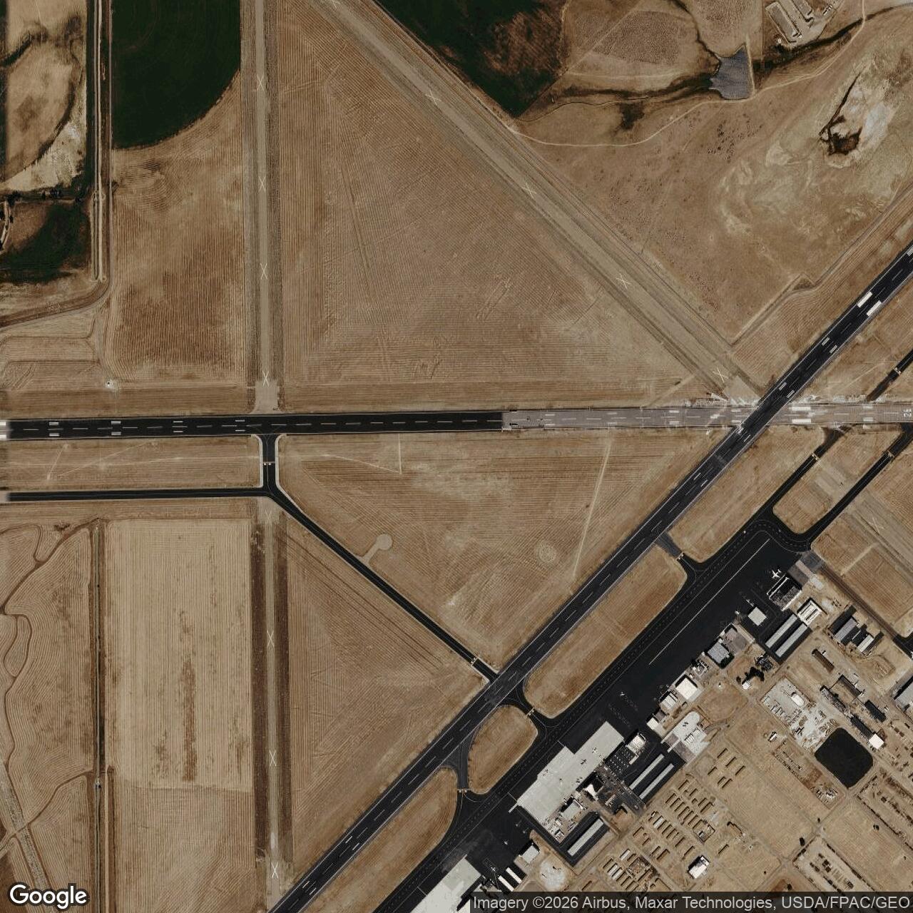
Casper Army Air Field, Wyoming
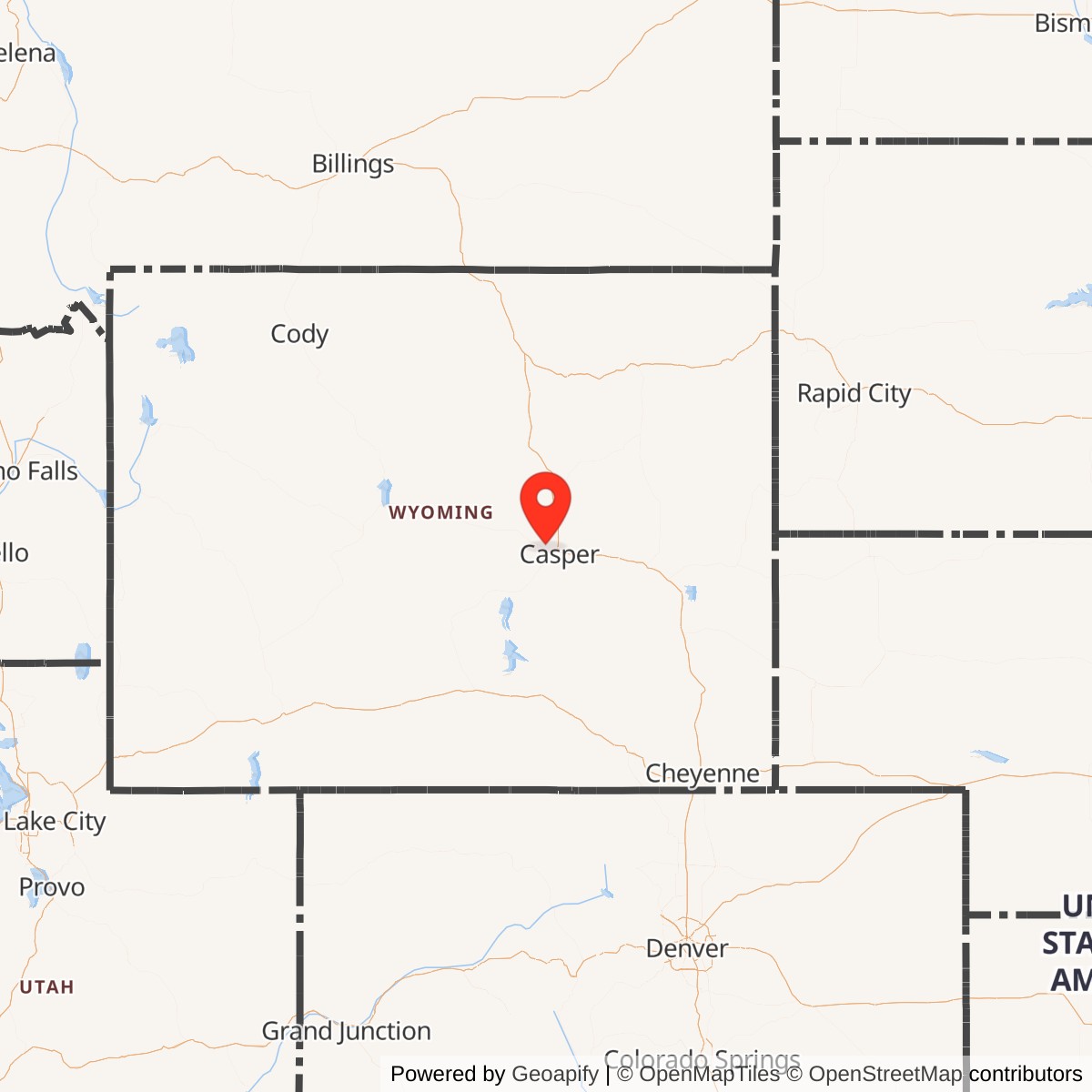
Longitude: -106.4640
Current Role: Casper-Natrona County International Airport
Casper Army Air Field was a World War II-era United States Army Air Forces training base located near Casper, Wyoming. Established in 1942, it played a key role in preparing bomber crews for overseas combat before transitioning to civilian use after the war.
Built in response to wartime demand, Casper Army Air Field served as a major training hub for heavy bomber crews under the Second Air Force. It specialized in forming and training complete B-17 Flying Fortress and B-24 Liberator combat crews. The base's facilities included multiple runways, hangars, barracks, and support buildings that could accommodate thousands of personnel. Between 1942 and 1945, it graduated over 16,000 airmen for combat deployment.
After the end of World War II, the airfield was deactivated and transferred to civilian authorities. In 1949, the property was converted into Casper-Natrona County International Airport, continuing its aviation role but under civilian administration. Some original structures, such as hangars and barracks, remained in use or were repurposed for commercial and general aviation activities.