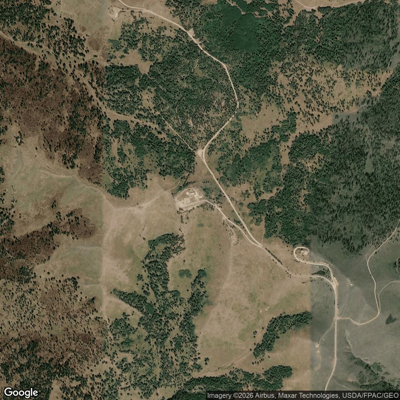
Sundance Air Force Station, Wyoming
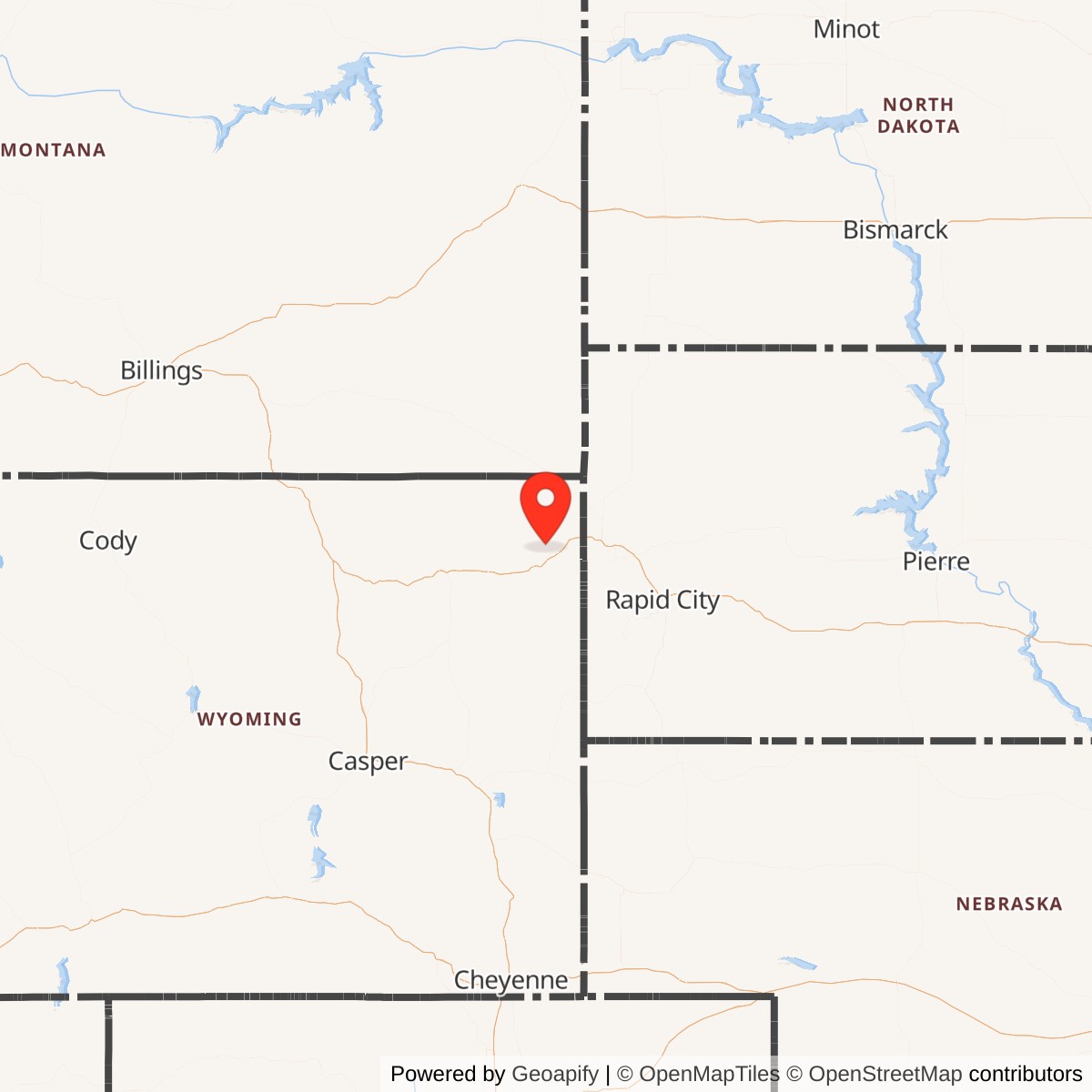
Longitude: -104.4511
Current Role: Communications equipment and towers on the peak, remains of the radar station largely removed or deteriorated
Sundance Air Force Station was a Cold War-era United States Air Force radar installation located near Sundance, Wyoming. It operated as part of the continental air defense network, providing early warning and ground-controlled interception capabilities during a period of heightened U.S. air defense readiness.
Constructed in the late 1950s, Sundance Air Force Station became operational in 1959 under the Air Defense Command. It served as a Ground-Control Intercept (GCI) site, directing interceptor aircraft toward unidentified targets detected on radar. The station was one of many remote facilities forming a nationwide radar shield designed to monitor U.S. airspace for potential Soviet bomber incursions.
The installation included radar towers, administrative and housing buildings, and communications infrastructure situated on elevated terrain near Sundance Mountain. It hosted long-range search and height-finder radar systems that fed data to regional command centers. Personnel stationed there worked in continuous shifts to maintain around-the-clock surveillance coverage of the northern Great Plains region.
Sundance Air Force Station was closed in 1968 as advances in radar technology and the introduction of automated systems, such as the Semi-Automatic Ground Environment (SAGE) network, reduced the need for smaller, standalone radar sites. After deactivation, most structures were dismantled or repurposed.