Site Components:

Nike Missile Site PR-99 IFC, Smithfield Rhode Island

Do you have a correction, comment, or story you would like to share about this location? Please tell us about it in the comments below.
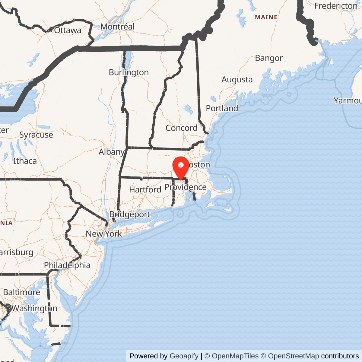
Latitude: 41.9612
Longitude: -71.5543

View on Google Maps

Base Opened: 1956
Base Decommissioned 1971


This location was part of the Providence Defense Area

Site ID: PR-99

This site controlled the missiles at the Launch Area located here.

Site Role: IFC
A typical Nike air defense site consisted of two separate parcels of land. One area was known as the Integrated Fire Control (IFC) Area. This site contained the Nike system's ground-based radar and computer systems designed to detect and track hostile aircraft, and to guide the missiles to their targets.

The second parcel of land was known as the Launcher Area. At the launcher area, Nike missiles were stored horizontally within heavily constructed underground missile magazines. A large, missile elevator brought the Nikes to the surface of the site where they would be pushed across twin steel rails to one of four satellite launchers.

Elaboration on how Nike worked here.

Current site status:

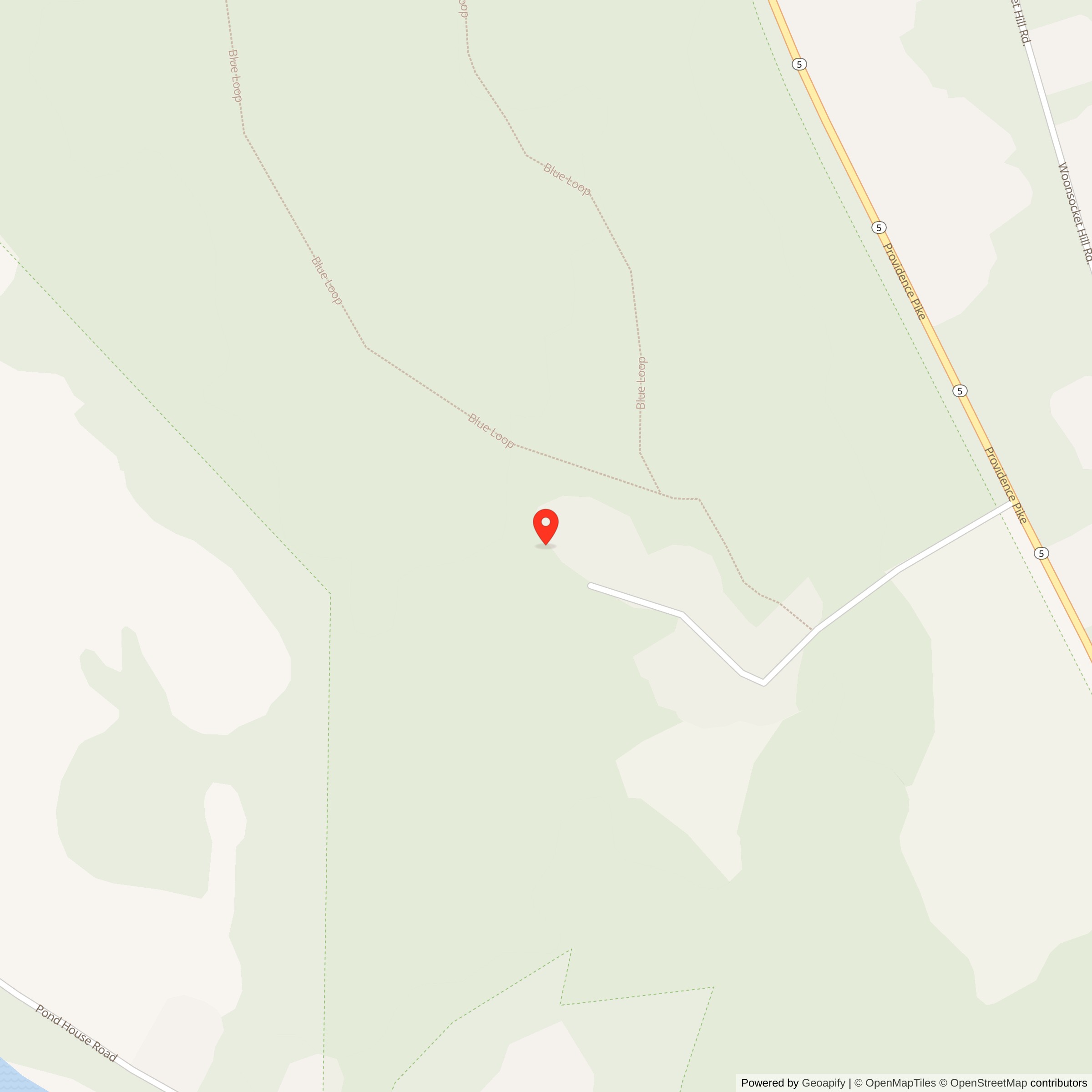
Map showing location of Nike Site PR-99C, Rhode Island

Map showing location of Nike Site PR-99C, Rhode Island
List of all Nike Installations in the Providence Defense Area

List of all Nike Installations in Rhode Island
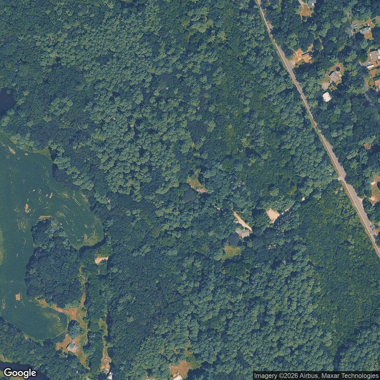
Current Google Satellite Image of Nike Site PR-99C, Rhode Island
Aerial View: Current Google Satellite Image of Nike Site PR-99C, Rhode Island Source: Google Maps - Click to View

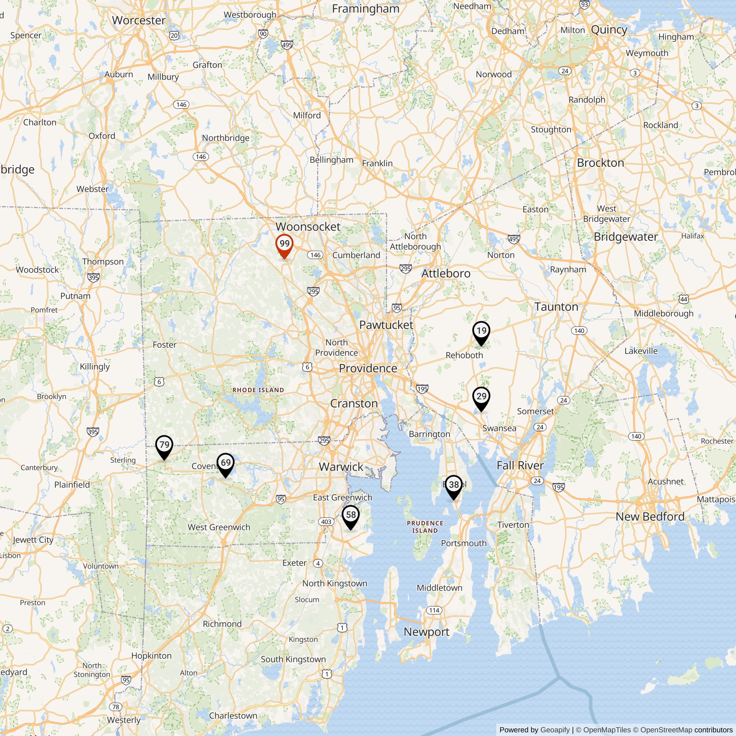
Map Showing Providence Defense Area Nike IFC Locations
Map 3: Map Showing Providence Defense Area Area Nike IFC Locations Red Marker shows PR-99 IFC Location, Black shows the other Nike IFCs in Providence Defense Area

Do you have a correction, comment, or story you would like to share about this site? Please tell us about it in the comments below.