
Demarcation Point DEW Line Test Site, Alaska
Before the coastal warning line opened, the eastern shore of Demarcation Bay hosted a small experimental facility.
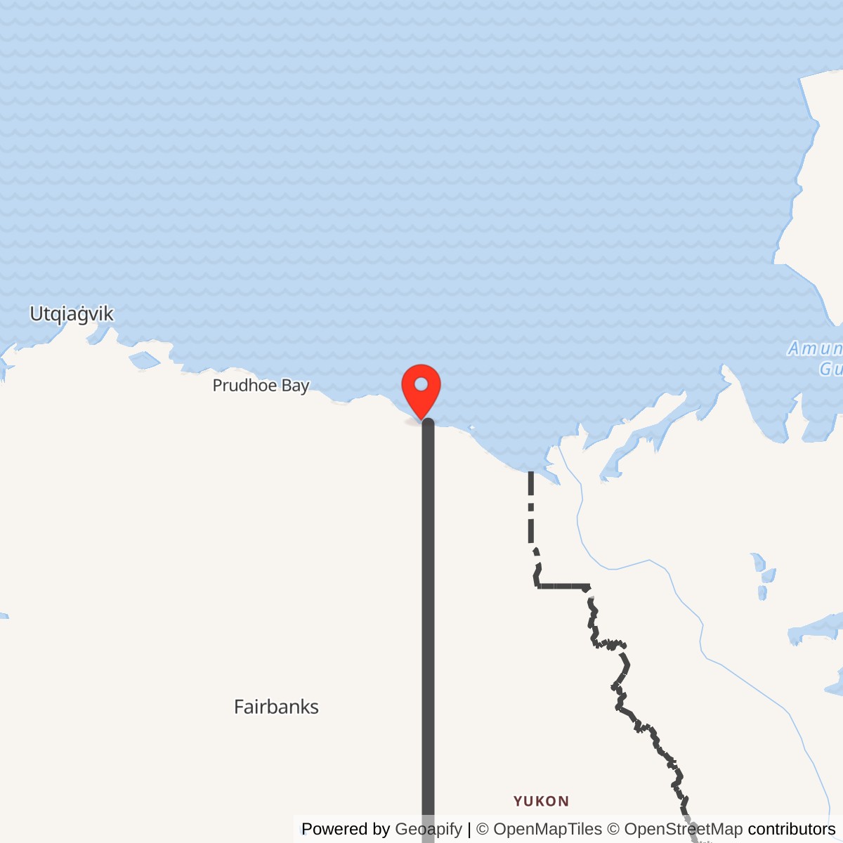
Longitude: -141.2928
Current Role: Former test site, later Navy Arctic research use; building removed in 1996.
Demarcation Point was an early Distant Early Warning Line test and construction location on the eastern shore of Demarcation Bay. Research and planning records place experimental work there in 1953 and 1954. Its location was separate from the later operating BAR-A intermediate radar station at Nuvagapak Point, farther west along the Beaufort coast. [1] [2] [3] [4]
- Role
- Early DEW Line experimental and construction site.
- Period
- Test work reported in 1953-54; later use of the parcel continued.
- Known structure
- Approximately 25-by-80-foot building in later site records.
- Physical location
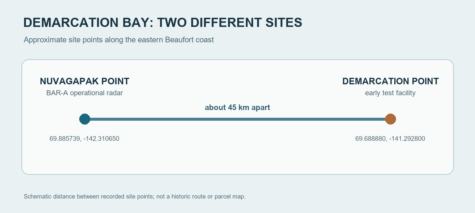
- Eastern Demarcation Bay, approximately 69.688880, -141.292800.
- Operating BAR-A site
- Nuvagapak Point.
An Early Warning Experiment
The Air Force's northern warning project first had to learn how radar and communications equipment would perform along an isolated, ice-bound coast. Demarcation Point was one of the early eastern Alaska locations used for that work. A later account by Arctic researcher Max Brewer places a prototype on the east side of Demarcation Bay during the 1953-54 development period. A 1955 planning table separately names Demarcation Point in the proposed BAR sector. [1] [4]
Prototype work helped prepare the eventual line of operating radar stations. The completed BAR-A intermediate station stood at Nuvagapak Point, where the Air Defense Command recorded AN/FPS-23 service beginning in August 1957. Demarcation Point remains part of the project's experimental history, while the Nuvagapak station belongs to its operating network. [1] [5] [6]
A Small Remote Camp
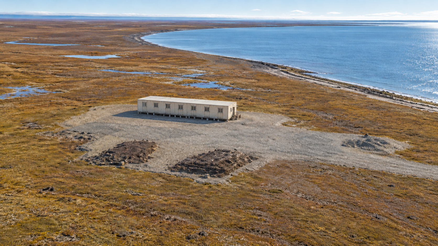
Later records describe a roughly 25-by-80-foot building at Demarcation Point, with scattered equipment and debris from past activities. This was a much smaller physical footprint than the operational Nuvagapak camp, which had an operations building, warehouse, shop, fuel system and tall radio tower. Work at Demarcation Point relied on temporary access and supplies brought to the coast; no permanent road linked it with a larger base. [2] [3] [7]
Two Sites on One Coast
Demarcation Point and Nuvagapak Point are separated by miles of coastal tundra. The BAR-A operating station was at Nuvagapak, while Demarcation Point occupied the eastern side of the bay. Federal cultural-resource inventories record the two places separately. Together they show how experimental sites and completed radar posts could sit near one another yet serve different phases of the same defense project. [2] [3] [6]
Later Use and Removal
The Demarcation Point area later saw Navy Arctic research activity. The former test-site building was removed in the 1990s, and subsequent cleanup addressed remaining materials. Today the place is best understood as a former experimental parcel rather than an active radar post. [3] [7]
Chronology
- 1953-54: Early DEW Line experimental work takes place at Demarcation Point. [1]
- 1955: A DEW Line planning table lists Demarcation Point among proposed BAR-sector locations. [4]
- August 1957: The separate BAR-A station at Nuvagapak Point begins operating. [5]
- 1996: The former Demarcation Point building is removed. [3]
Related Sites
- Nuvagapak Point BAR-A operating station
- Barter Island BAR-Main
- AN/FPS-23 radar
- DEW Line station directory and DEW Line history
Information sources (8)
- PDFU.S. Department of the Interior, Ownership of Submerged Lands report, 1992, Max C. Brewer correspondence
Source for early Demarcation Bay prototype work in 1953-54 and the separate operational radar farther west.
- PDFU.S. Army Corps of Engineers, The Cold War in Alaska: A Management Plan for Cultural Resources, 1994, Demarcation Point and Nuvagapak entries
Source for both site descriptions, historical structures and coastal context.
- WEBAlaska Department of Environmental Conservation, Demarcation Point DEW Line site report, hazard ID 738
Source for the Demarcation Point coordinate, approximately 25-by-80-foot building, later Navy use and 1996 removal.
- PDFDEW Line Coordinating Committee, Minutes and Progress Reports, 1955-63, compiled by P. Whitney Lackenbauer and Matthew Farish, 2019
Source for the 1955 planning table's Demarcation Point location and later Nuvagapak BAR-A identity.
- PDFAerospace Defense Command, Historical Data of the Aerospace Defense Command, 1946-1973, DEW Line station table
Source for the operational BAR-A AN/FPS-23 opening and inactivation dates.
- WEBU.S. Minerals Management Service, Beaufort Sea cultural resources inventory, 2003
Source for the distinct Gordon/Demarcation Point and Beaufort Lagoon site records.
- WEBAlaska Department of Environmental Conservation, Nuvagapak Point DEW Line Station report, hazard ID 26499
Source for the separate operating site and its larger camp inventory.
- WEBThe DEWLine, BAR-A gallery, unidentified Gordon-area site photographs
Visual reference for a long, low building and gravel pad near eastern Demarcation Bay; the gallery does not identify the exact parcel or photograph date.