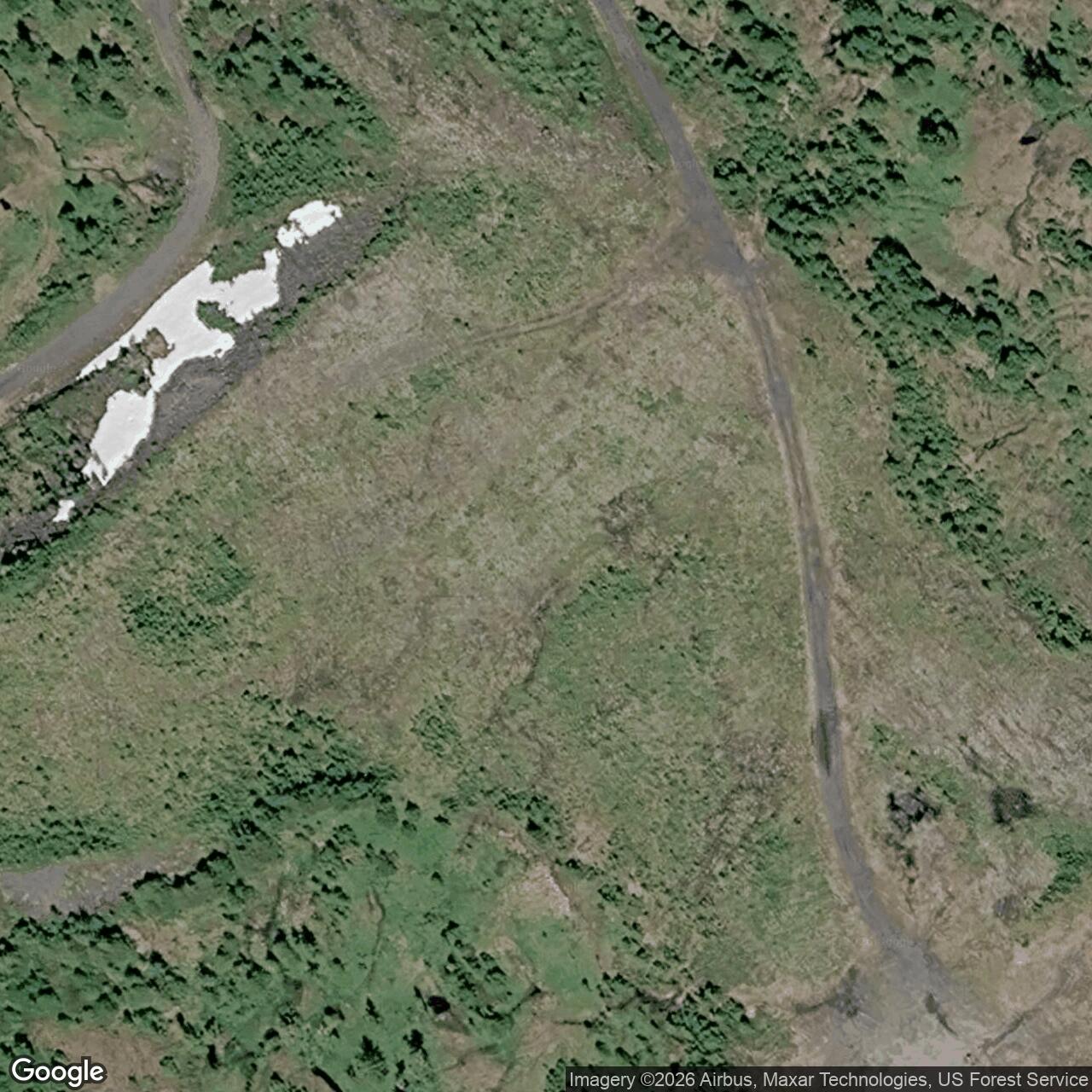
Duncan Canal Radio Relay Station, Alaska
A mountaintop White Alice relay between Hoonah and Smuggler Cove on Alaska's coastal BMEWS A Route.
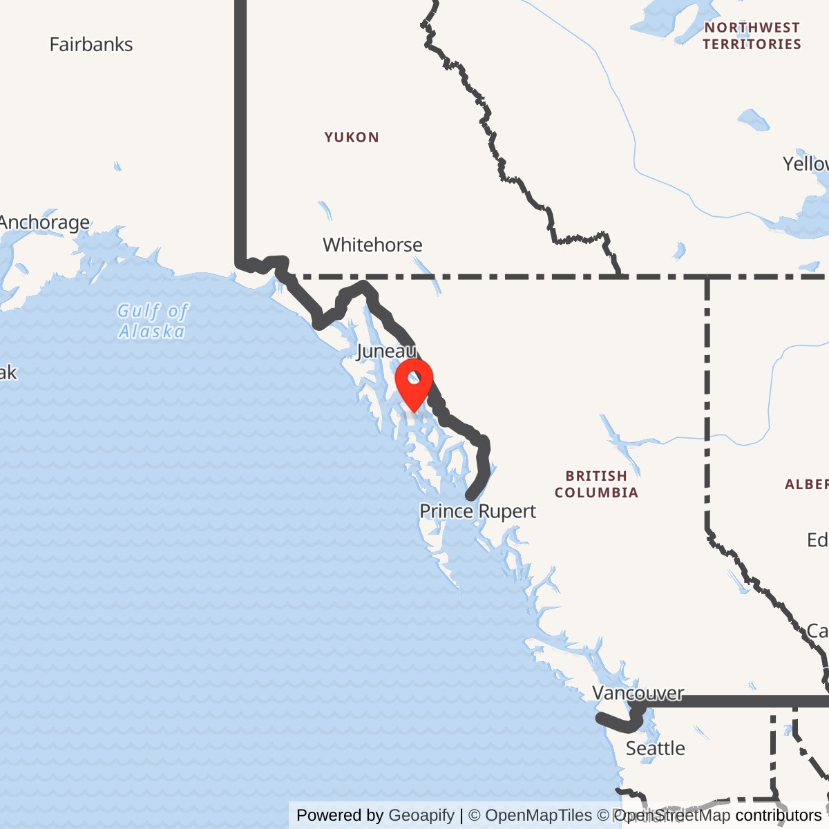
Longitude: -133.169546
Duncan Canal Radio Relay Station was a U.S. Air Force communications installation on Kupreanof Island west of Petersburg. Activated in 1961, it connected Hoonah and Smuggler Cove on the coastal Ballistic Missile Early Warning System (BMEWS) A Route. The station relayed communications; it was not a missile-warning radar. [1] [4]
- Role
- White Alice/BMEWS A Route troposcatter communications relay.
- Activated
- 1961.
- Direct links
- Hoonah and Smuggler Cove using 60-foot reflector paths.
- Main building
- 18,634-square-foot telecommunications center with dormitory, recorded by GAO.
- Air Force and RCA
- RCA lease began in 1974; RCA returned the station to the Air Force on March 14, 1978.
- Approximate location
- 56.7542 N, 133.1697 W. Alaska DEC case reference point; datum unspecified, not a surveyed antenna point or property boundary.
Building an Isolated Relay
The Army Corps began work on the rearward communications route in 1959. Duncan Canal was among its most demanding construction sites. Supplies came by barge, and a steep road had to be cut up the mountain before the station could be built. A Corps history puts that road contract alone at $1.3 million. A contemporary construction report describes helicopter lifts of workers, fuel and prefabricated building panels. GAO records that the station was activated in 1961. [4] [5] [6] [9]
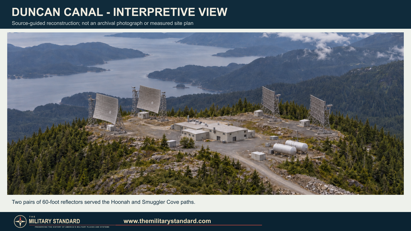
The 1977 Air Force sale study describes a 6.8-mile single-lane gravel road from the dock to the station, with no airfield on the island. Personnel arrived by boat or floatplane. GAO documented an 18,634-square-foot telecommunications center that included a dormitory, combining communications equipment and living space at the staffed relay. [3] [4]
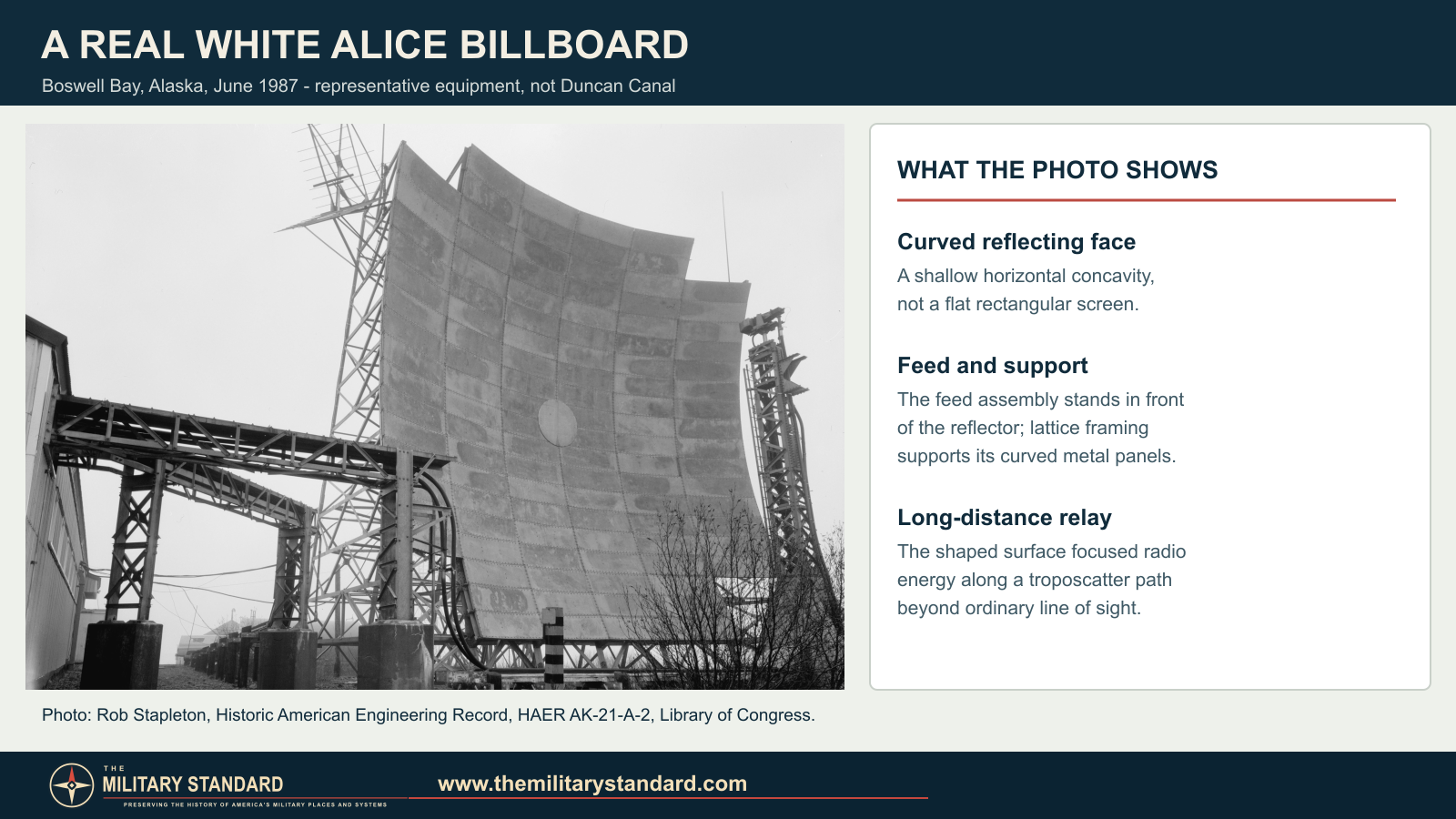
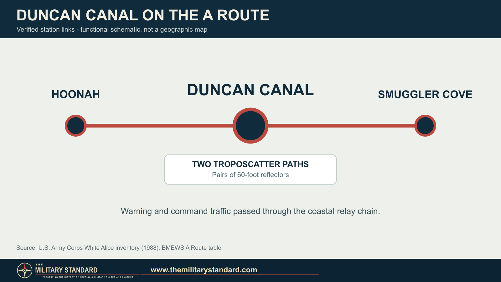
The Corps' White Alice inventory lists Duncan Canal among five troposcatter stations on the coastal A Route. It identifies direct links to Hoonah and Smuggler Cove and specifies 60-foot reflectors for these paths. Paired billboard-shaped antennas made each long-distance link across southeast Alaska's mountainous coastline. [1]
Service and Transfer
The coastal relay chain ran through Cape Yakataga, Ocean Cape, Hoonah, Duncan Canal and Smuggler Cove. Duncan Canal carried warning and command circuits through the chain while its remote staff kept the equipment and power systems operating. [1] [3]
In 1974 the Air Force ended operation of the southeast A Route as a military-owned service. Because the same line served civilian users, the Air Force leased six southeast stations, including Duncan Canal, to RCA Alaska Communications. The transfer took effect at the end of June 1974 and kept the route operating. [3]
Duncan Canal's lease did not become a permanent RCA acquisition. In 1977 an Air Force team inspected the station while planning to remove equipment RCA did not want. That November, personnel dismantled an AN/FRC-39 troposcatter system for shipment to Elmendorf. RCA planned to leave the station unattended in early 1978, then returned it to the Air Force's 1931st Communications Group on March 14, 1978. [3]
After Military Use
GAO inspectors visited the returned station in 1980 and recorded vandalism and deterioration in the telecommunications and dormitory building. The Corps' 1994 cultural-resources plan reports that the Air Force demolished the former station in 1992. It identifies the historic resource as PET-322. [2] [4]
Alaska DEC separately tracks the former Air Force station and a later AT&T Alascom repeater facility in the Duncan Canal area. Cleanup records for the former military landscape continued into 2026, when DEC recorded a revised decision and closure for one demolition-debris area. [7] [8]
Chronology
- 1959 The Corps began surveying and contracting the rearward communications route.
- 1960 A Duncan Canal communications-facility construction contract was reported.
- 1961 Duncan Canal Radio Relay Station was activated.
- June 30, 1974 RCA Alaska Communications took over the southeast A Route under lease.
- November 1977 Air Force personnel dismantled an AN/FRC-39 system at Duncan Canal.
- March 14, 1978 RCA returned Duncan Canal to the Air Force.
- 1980 GAO inspected the returned station and documented deterioration.
- 1992 The Air Force demolished the former station, according to the Corps.
- 2014-2015 Air Force cleanup work addressed former station source areas.
- 2026 DEC recorded closure for one demolition-debris area.
Information sources (9)
- PDF[1] Historical Overview and Inventory of the White Alice Communications System
Source for: BMEWS A Route classification, direct Hoonah and Smuggler Cove links and 60-foot reflector class.
- PDF[2] The Cold War in Alaska: A Management Plan for Cultural Resources (1994)
Source for: Duncan Canal's A Route role, 1992 demolition, restored-site assessment and AHRS PET-322.
- PDF[3] A Special Study of the Sale of the White Alice Communications System (1983)
Source for: 1974 RCA lease, access road and supply logistics, 1977 equipment removal, and March 1978 return to the Air Force.
- PDF[4] U.S. General Accounting Office, Delays in Disposing of Former Communication Sites in Alaska (1981), PLRD-81-28
Source for: 1961 activation, 18,634-square-foot telecommunications/dormitory building, 1980 station condition and original-site photographs.
- PDF[5] U.S. Army Corps of Engineers, History of the Alaska District
Source for: 1959-1961 rearward-route construction program, Duncan Canal barge and road access and road cost.
- PDF[6] Western Construction, May 1960, Alaska contracts report
Source for: reported Duncan Canal construction contract and contemporary construction scope.
- WEB[7] Alaska Department of Environmental Conservation, Duncan Canal Radio Relay Station Site Report, hazard ID 26
Source for: former military site location, cleanup actions and 2026 decision for SS006.
- WEB[8] Alaska Department of Environmental Conservation, Duncan Canal Repeater Site Report, hazard ID 3281
Source for: separately tracked later AT&T Alascom telecommunications facility.
- PDF[9] Western Construction, November 1960, "Copter Does Construction Chores on Alaska Mountain"
Source for: helicopter-supported Duncan Canal construction and contemporary temporary-camp photographs.