×
![]()
Atlas F 578-4 Missile Silo Dyess AFB Texas
Atlas F 578-4
Squadron: 578th SMS
Date Activated: July 1st 1961
Date Deactivated: March 25th 1965
Air Force Base: Dyess
State: Texas
Nearest Town: Denton County
Coordinates:
Latitude: 32°16'25.87"N
Longitude: 99°32'28.96"W
Decimal:
Latitude: 32.273853
Longitude: -99.541378
GPS:
Latitude: 32 16.4311666666667
Longitude: -99 32.4826666666667
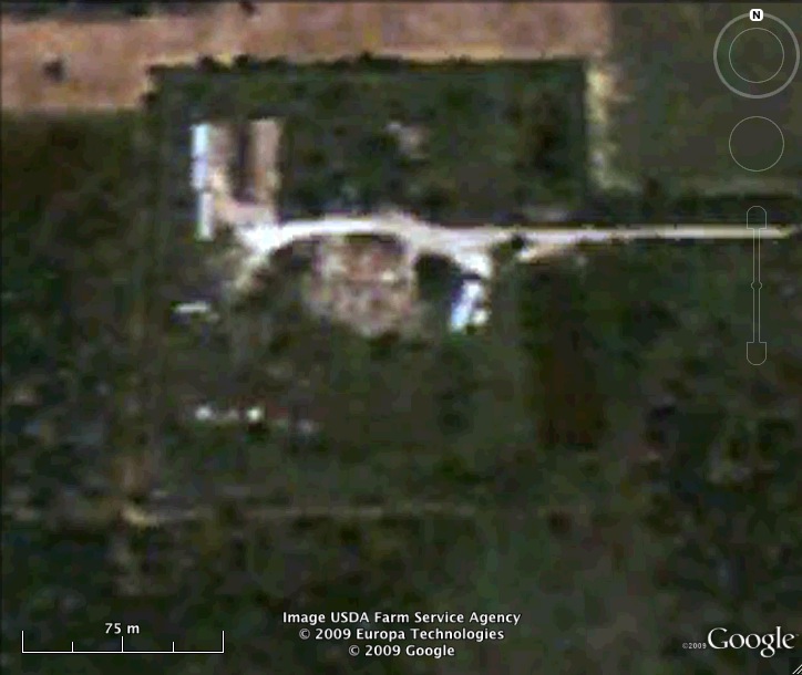
Former Atlas F Launcher with the 578th Strategic Missile Squadron.
Read about the Atlas at Dyess AFB
List of all Atlas F site Coordinates