
Brownlow Point DEW Line Support Site, Alaska
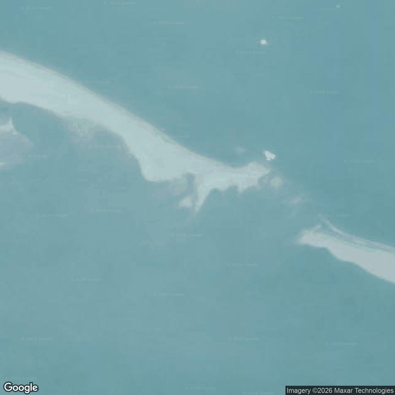
A mislocated construction parcel on the Beaufort Sea coast left an unfinished building, while the operating POW-D radar stood at Collinson Point.
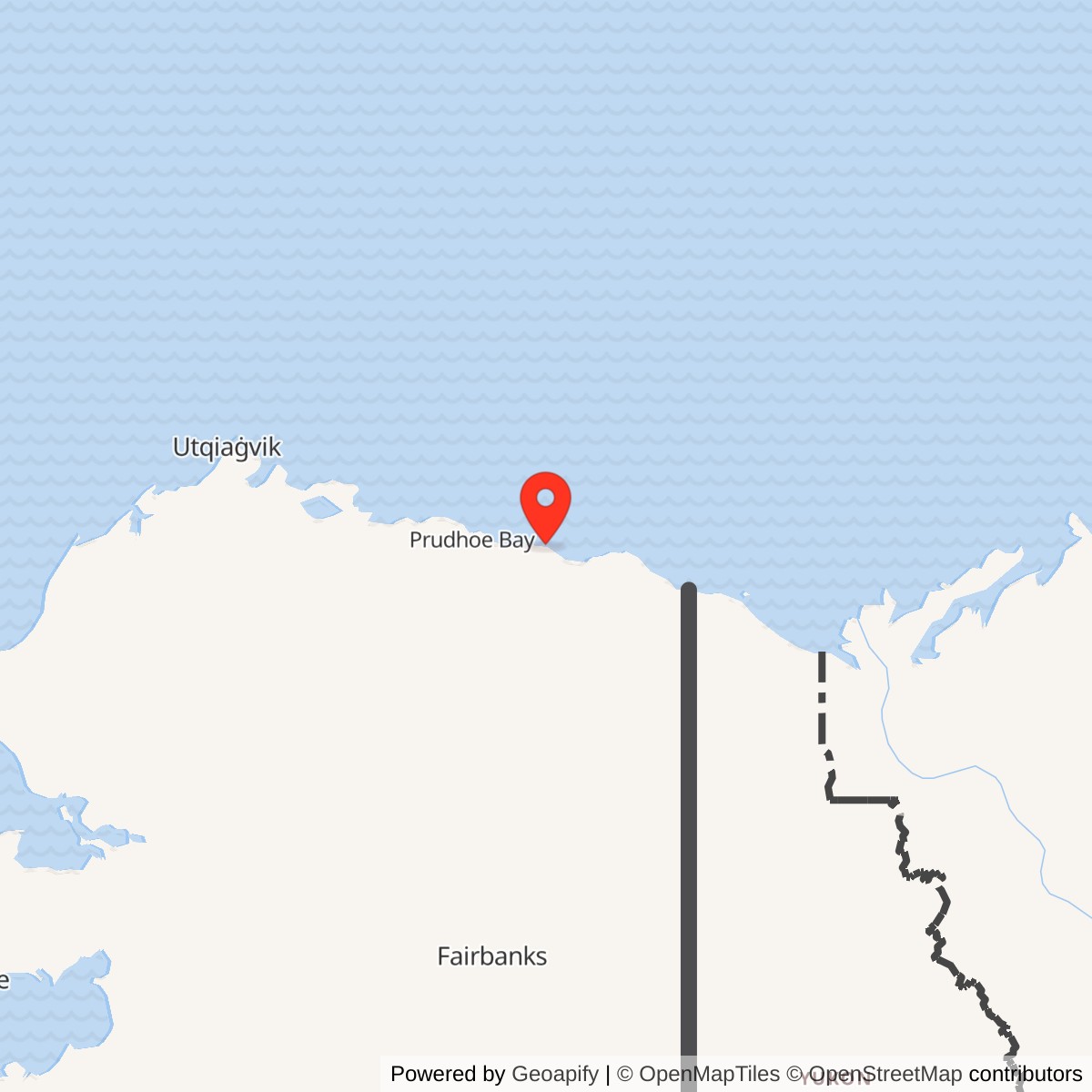
Longitude: -145.87469
Current Role: Building remnants lost to coastal erosion by 1999; later drum cleanup.
Brownlow Point was an early DEW Line construction and support location on Alaska's Arctic coast. A building and several foundations were placed there before crews discovered a siting error and abandoned the project. The operational POW-D intermediate radar station was established at Collinson Point, farther east near Simpson Cove. Air Force station lists retained the Brownlow Point name for POW-D, so the two places are sometimes conflated. [1] [2] [3] [4]
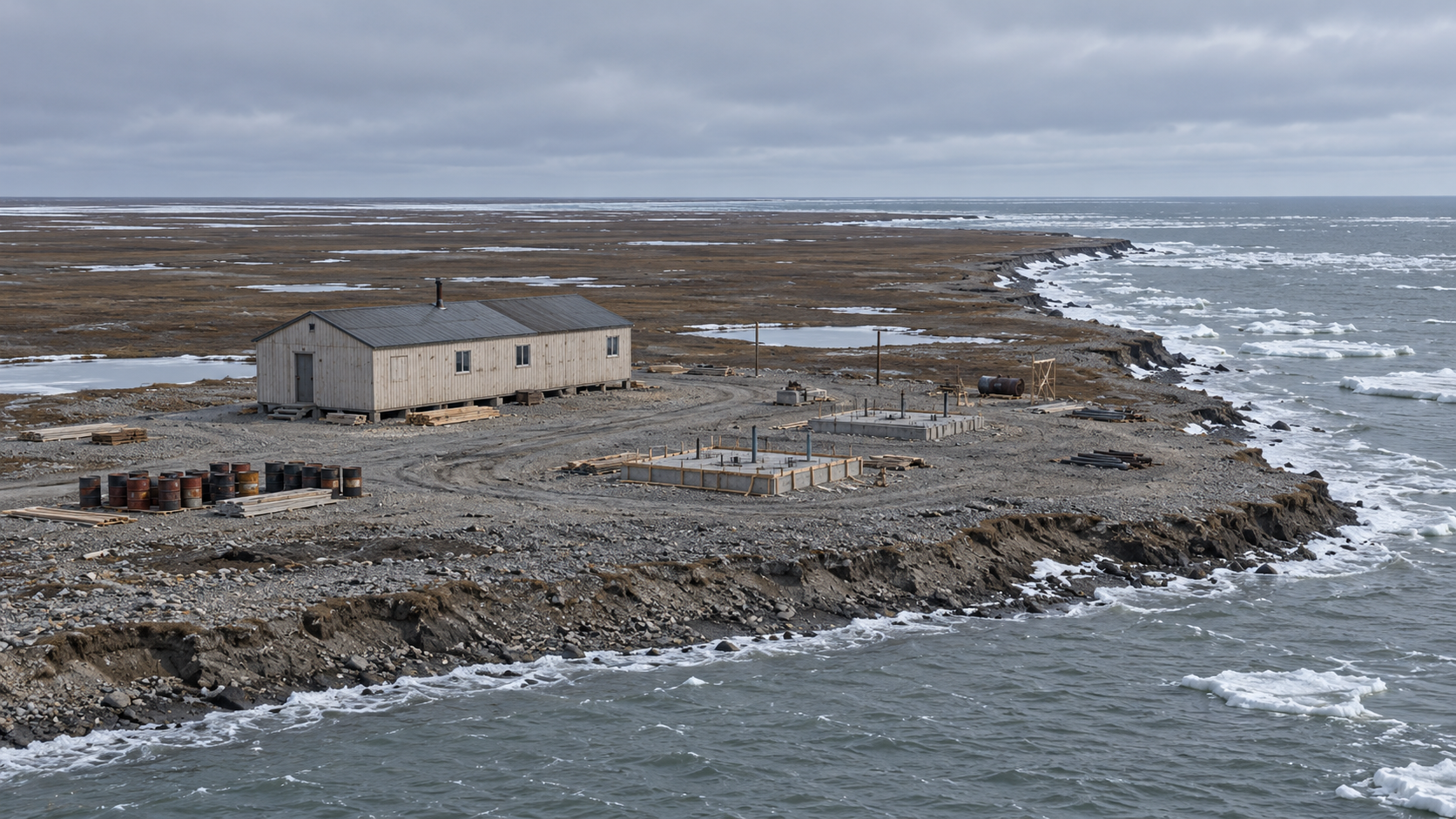
- Project role
- Unfinished DEW Line construction and support location.
- Recorded structures
- One 25-by-80-foot building and several foundations in later federal records.
- Radar mission
- The operating POW-D AN/FPS-23 station was at Collinson Point.
- Location
- Brownlow Point; approximate DEC coordinate 70.165550, -145.874690.
- Later condition
- Coastal erosion removed the building remains by 1999.
The Brownlow Project
The government obtained the Brownlow Point parcel on May 8, 1953, as the northern warning system was taking shape. A contemporary planning list later named both Brownlow Point and Simpson Cove, reflecting separate locations in the same eastern Alaska coast project. Brownlow Point lay on fragile tundra beside the Beaufort Sea, where permafrost and coastal weather complicated construction. [1] [2] [5]
Workers placed one building and several foundations before the location was judged incorrect. Construction stopped, leaving a small unfinished facility. The Corps described Brownlow Point as a support site for the intermediate station at Collinson Point, which became operational in 1957. [1] [2]
What Was Built
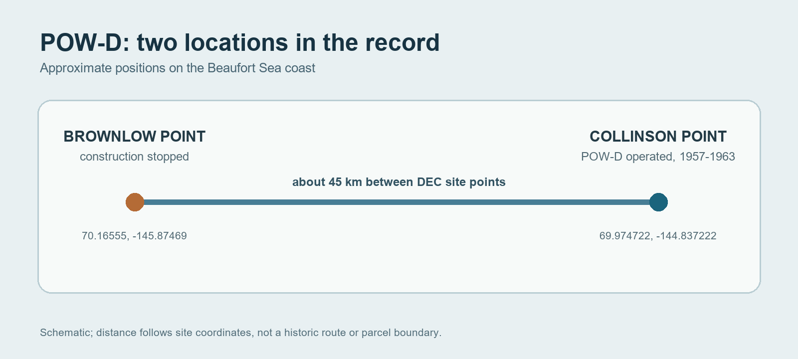
Federal site records later described a 25-by-80-foot building and several foundations at Brownlow Point. The building served an electrical function during the short project period. The incomplete site also retained fuel drums and construction debris. Brownlow Point never acquired the documented five-module radar camp and Doppler fence at Collinson Point. [1] [3]
Collinson Point Takes the Mission
The completed POW-D station at Collinson Point joined the DEW Line in August 1957. Its AN/FPS-23 system supplied a low-altitude crossing alert until July 21, 1963. The Brownlow name survived in official radar tables even though Collinson Point held the working equipment. [2] [3] [4]
Later Remains
By 1994, the Corps found one wood-frame building at Brownlow Point. An Alaska environmental inspection in September 1999 found that erosion had washed away its remaining building material. The contrast between an abandoned building site and an operating radar camp is the key to understanding the two names in DEW Line records. [1] [2]
Chronology
- May 8, 1953: The government obtains the Brownlow Point parcel during DEW Line preparations. [1]
- Mid-1950s: Crews place a building and foundations before a siting error stops the project. [1]
- August 1957: The separate Collinson Point radar station begins POW-D operations. [2] [4]
- July 21, 1963: The operating POW-D radar mission ends. [2] [4]
- September 1999: An inspection finds the Brownlow building remnants lost to coastal erosion. [1]
Related Sites
- Collinson Point POW-D operating radar station
- Bullen Point POW-3
- Barter Island BAR-Main
- DEW Line station directory and DEW Line history
Information sources (5)
- WEBAlaska Department of Environmental Conservation, Brownlow Point DERP site report, hazard ID 737
Source for the separate Brownlow Point coordinates, 1953 acquisition, siting error, building dimensions, foundations, electrical use and 1999 erosion.
- PDFU.S. Army Corps of Engineers, The Cold War in Alaska: A Management Plan for Cultural Resources, 1994, pp. 192-193
Source for Brownlow Point as a support site, the operating Collinson Point station, 1957-1963 dates and surviving wood-frame building.
- WEBAlaska Department of Environmental Conservation, Collinson Point DEW Line Sitewide report, hazard ID 1679
Source for the separate operating station's location, five-module camp and Doppler radar fence.
- PDFAerospace Defense Command, Historical Data of the Aerospace Defense Command, 1946-1973, DEW Line station table
Source for the POW-D Brownlow Point listing, AN/FPS-23 radar, August 1957 opening and July 21, 1963 closure.
- PDFDEW Line Coordinating Committee, Minutes and Progress Reports, 1955-63, compiled by P. Whitney Lackenbauer and Matthew Farish, 2019, planning site lists
Source for the early planning list that names Brownlow Point and Simpson Cove separately.