
Clifton Point DEW Line Station, Canada
A five-module outpost kept a Doppler warning path alive between two larger Arctic radar stations.
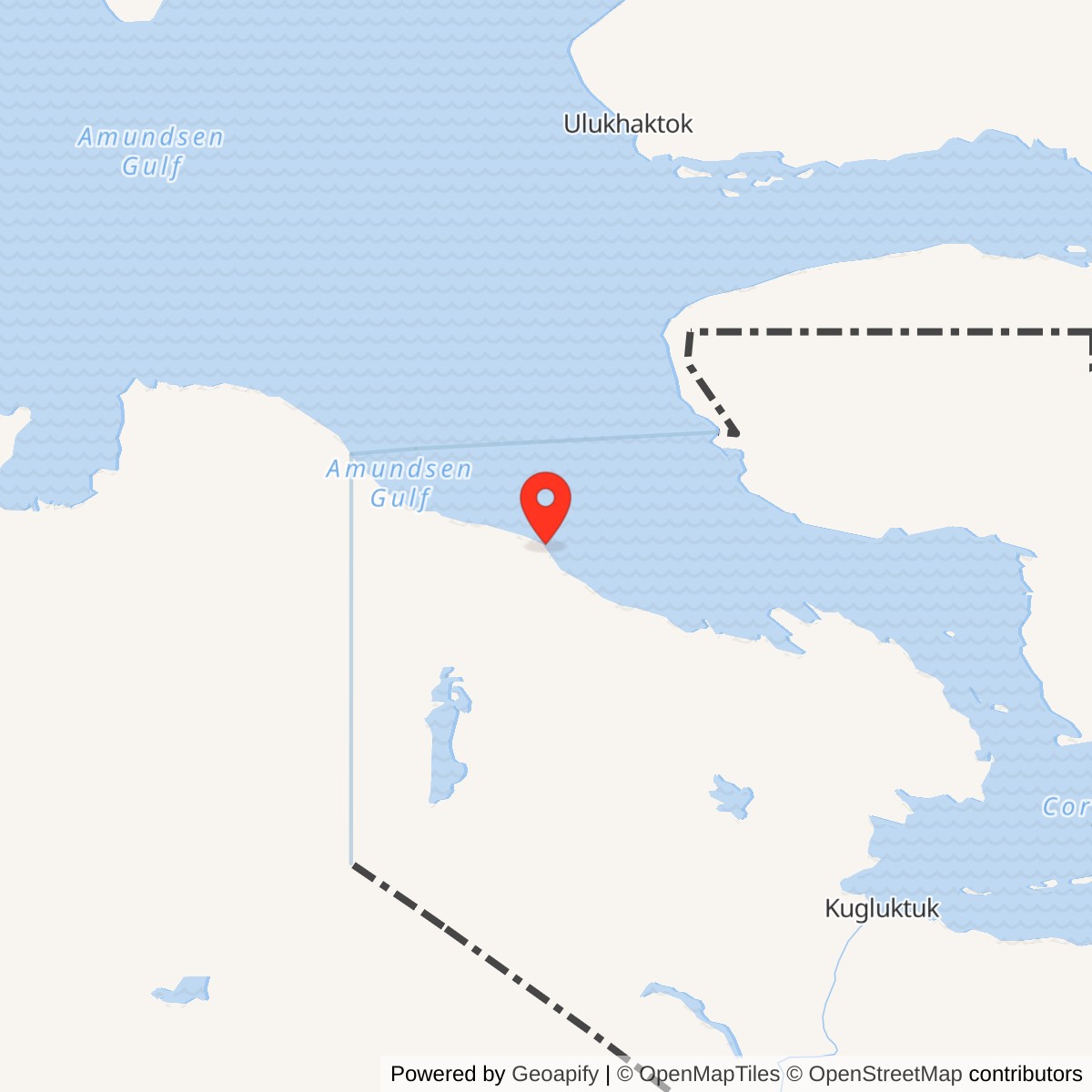
Longitude: -118.63333
Site Number: PIN-B
Current Role: Former station; major remediation completed in 2010 with continuing monitoring.
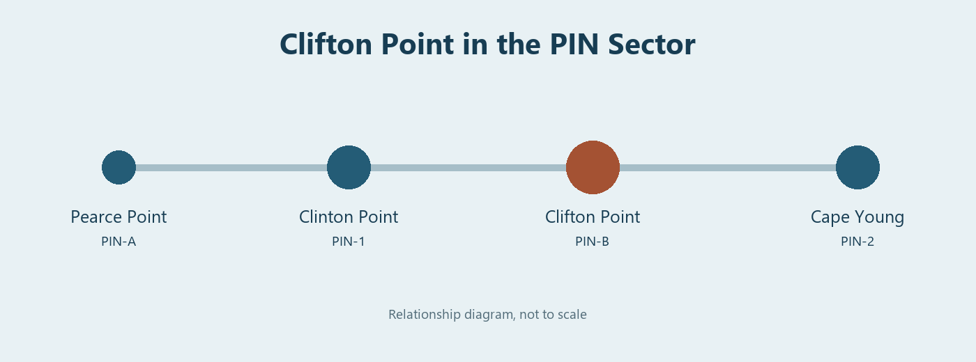
Clifton Point PIN-B was a small intermediate station in the Canadian Distant Early Warning Line on the Arctic coast of present-day Nunavut. Its position between Clinton Point PIN-1 to the west and Cape Young PIN-2 to the east gave those larger radar stations a continuous-wave Doppler path across the interval. The Aerospace Defense Command station table dates PIN-B operation from August 1957 to July 21, 1963 and identifies its equipment as the AN/FPS-23. [1] [2]
- DEW Line code
- PIN-B
- Role
- Intermediate Doppler station
- Equipment
- AN/FPS-23
- Service
- August 1957 to July 21, 1963
- Approximate location
- 69.21667, -118.63333
The PIN-B Site
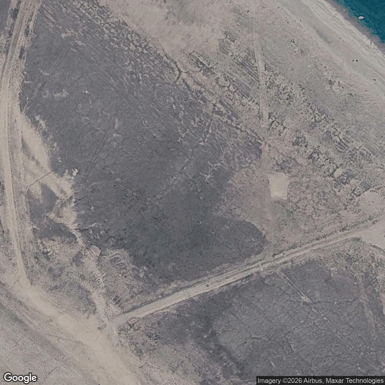
The site stood roughly one kilometre inland from the coast, about 220 kilometres northwest of Kugluktuk. A Canadian defence research table gives its approximate position as 69°13' north, 118°38' west. This is an area location for the former station, whose radar tower, living modules, fuel facilities, beach landing and airstrips spread across a much larger tract than a single building. [2] [4] [8]
Canadian records show a federal reserve established in 1956 and construction in 1957. A Clifton Point site file existed by 1955, during the siting and planning phase of the northern warning chain. Crews had to prepare building foundations, fuel storage, an aircraft landing area and a seasonal shoreline supply route before PIN-B could contribute to the active fence. [3] [7]
Buildings, Power and Supply
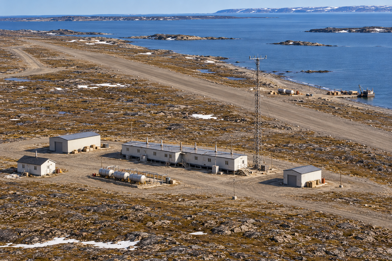
Clifton Point was an intermediate Doppler post, much smaller than a staffed auxiliary search-radar station. Its principal building was a connected train of five prefabricated modules. Canadian site records also identify a warehouse, garage, small house for Inuit staff and a radar tower. The module train kept technical and living functions under one roof, reducing the number of trips outdoors during severe weather. [3] [5]
The station generated its own electrical power. Diesel fuel supported the radar equipment, lighting, heat and the machinery needed to keep the post habitable. Fuel storage and distribution facilities stood near the station, with a second petroleum storage area at the beach. The garage sheltered vehicles and maintenance work; the warehouse held materials that could not be replaced quickly from the south. [3] [5]
Two airstrips are recorded for Clifton Point. One lay between the station and the beach, and a second was farther west. The shoreline landing and beach fuel area handled cargo arriving during the short open-water season, while aircraft moved people, mail, urgent parts and lighter supplies. Maintaining both the landing facilities and the road between shore and camp was part of keeping the radar path in service. [3] [4] [6]
The small house for Inuit staff is a distinctive part of the recorded Clifton Point layout. Northern residents contributed local skills and labour to the support system that made remote DEW Line stations viable. The house, separate from the five-module train, reflects that workforce in the physical plan of PIN-B. [3]
The Doppler Warning Mission
PIN-B operated AN/FPS-23 Doppler equipment as one link in the low-altitude warning fence. The transmitter sent a continuous radio signal toward a receiver at the neighbouring auxiliary station. An aircraft crossing the path could disturb the signal and produce an alarm. The adjacent auxiliary stations used their search radars and operators to examine an alarm and pass a confirmed report into the sector warning network. [1] [5] [6]
That arrangement gave Clifton Point a different job from Clinton Point or Cape Young. PIN-B did not need a large rotating search antenna, radome or full radar-operations crew. Its tall tower carried the Doppler antennas; the compact building train housed the equipment and the people needed to maintain it. The station depended on the neighbouring radar posts for the broader search picture. [1] [5] [6]
The path was part of the Cape Parry PIN sector, whose main station assembled reports from the western Canadian Arctic. A crossing alarm mattered only if the equipment was working and the sector could receive and act on it. PIN-B therefore combined electronic maintenance, communications, power generation and transport support in one small outpost. [1] [5] [6]
People and Daily Life
An intermediate station normally operated with a very small crew. Veteran descriptions of the class describe a radar technician, inside mechanic, outside mechanic and cook as the core complement, although individual staffing could vary. With so few people, each person had a direct part in keeping the radar, generators, vehicles, fuel supply and living quarters running through the winter. [5] [6]
The connected modules offered shelter for work, meals and sleep, but duties still extended outside to the tower, fuel tanks, garage and airstrip. A broken generator, drifting snow or delayed flight could affect the entire post. Summer brought the brief opportunity to land heavy cargo by sea and repair what the winter had damaged. Clifton Point's second airstrip and shore facilities illustrate how much infrastructure a small electronic station required. [3] [4] [5] [6]
Clifton Point stood far from any town. The limited crew lived on the same site where it worked, with transport and communication both subject to Arctic weather. Its mission depended on ordinary station routines as much as on the Doppler set: fuel had to be transferred, equipment maintained, food stored and the airstrip kept usable. [3] [5] [6]
Closure and Later Use
The original intermediate Doppler posts were withdrawn from service in 1963. Clifton Point's precise inactivation date was July 21 of that year. Clinton Point and Cape Young remained auxiliary radar stations after PIN-B closed, so the end of the intermediate post did not end the DEW Line watch in this part of the Arctic. [1] [2]
Canadian administrative responsibility for the abandoned Clifton Point property returned in 1965. The former tower, building train, garage, warehouse, house, fuel areas, airstrips and beach landing later became the subjects of site surveys and cleanup. Canada completed major remediation in 2010 and began a long monitoring period. The remaining landscape still records the scale of the effort required to keep a six-year warning station operating on the Arctic coast. [3] [8]
Chronology
- 1955: A Clifton Point PIN-B site file is recorded in Canadian archives. [7]
- 1956: The federal reserve for the station is established. [3]
- 1957: Construction of the intermediate site is completed. [3]
- August 1957: PIN-B enters DEW Line operation with AN/FPS-23 Doppler equipment. [1]
- July 21, 1963: The station is inactivated. [1]
- 1965: Responsibility for the former station property returns to Canadian authorities. [3]
- 2010: Major remediation of the abandoned station is completed. [3] [8]
Related Sites
Information sources (8)
- PDFAerospace Defense Command, Historical Data of the Aerospace Defense Command, 1946-1973, DEW Line station table, p. 189
Station-specific PIN-B entry for August 1957 operation, AN/FPS-23 equipment and July 21, 1963 inactivation.
- PDFDefence Research and Development Canada, Canadian Arctic radar site chronology, 2012, pp. 119-120
Identifies Clifton Point as a DEW intermediate station in present-day Nunavut and gives the approximate coordinates and 1963 closing year.
- PDFAboriginal Affairs and Northern Development Canada, Northern Contaminated Sites Program Progress Report, 2010-11, p. 27
Station-specific account of reserve, construction, 1963 abandonment, 1965 property return and surviving buildings, fuel facilities, beach area and two airstrips.
- PDFNunavut Research Institute, Compendium of Research in Nunavut, 2007, p. 67
Site location about one kilometre inland, the airstrip between camp and shore, second western airstrip and beach supply area.
- WEBThe DEWLine, Auxiliary and Intermediate Site Layouts
Firsthand account of the standard intermediate module train, power and living spaces, support buildings and small operating crew.
- WEBPaul Kelley, A Brief Introduction to the DEW Line, The DEWLine
Firsthand explanation of the intermediate Doppler radar path, daily operation, staffing pattern and Arctic supply.
- PDFLibrary and Archives Canada, DEW Line Site PIN-B Clifton Point file, 1955
Archival finding aid identifying a Clifton Point site file dated 1955.
- PDFAboriginal Affairs and Northern Development Canada, The Big Picture: Contaminated Sites in Nunavut, 2012, p. 17
Places the site northwest of Kugluktuk and summarizes its 2010 remediation and subsequent monitoring.