
Sturt Point DEW Line Station, Canada
A small Victoria Island post kept the central Arctic low-altitude warning path in service from the 1950s until 1963.
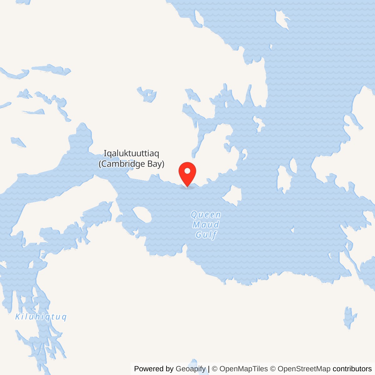
Longitude: -103.34444
Site Number: CAM-A
Current Role: Former station dismantled in the early 1970s; foundations remained after fuel tanks and pipeline were removed.
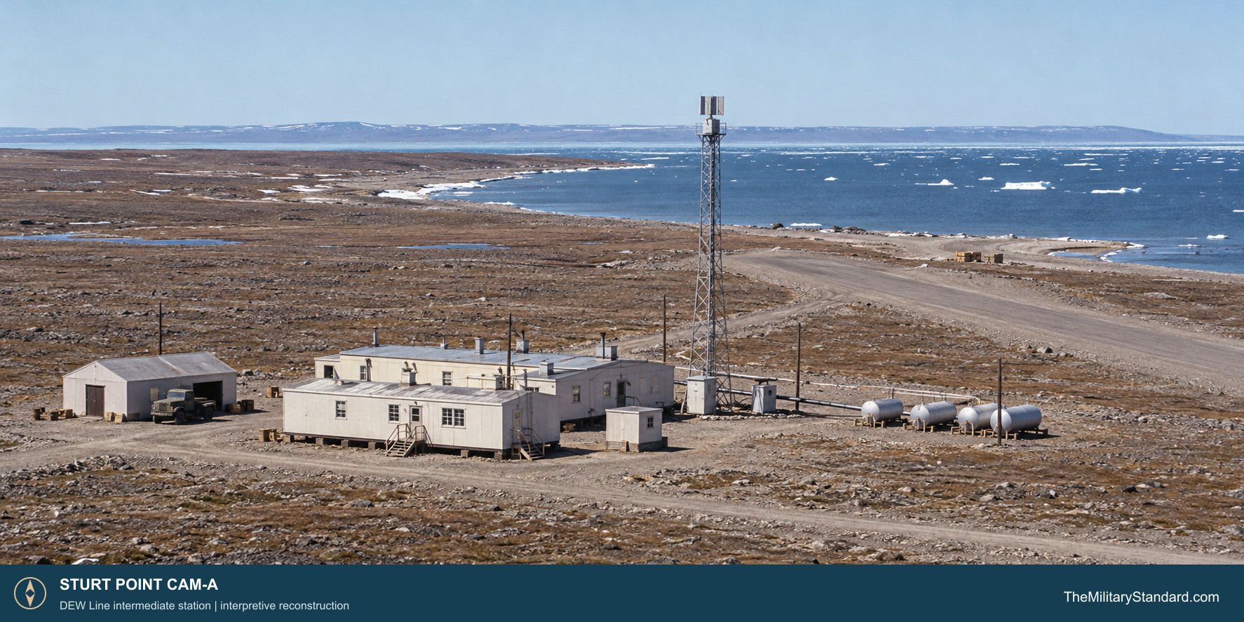
Sturt Point CAM-A was an intermediate station on the central Canadian Distant Early Warning Line. It stood on the south coast of Victoria Island, about 80 kilometers east of Cambridge Bay. In the original chain it filled the low-altitude surveillance gap between Cambridge Bay CAM-Main and Jenny Lind Island CAM-1. The station was a remote radar and communications post, supported from the larger neighboring bases rather than a sector command center. [1] [2] [4] [6]
- DEW Line code
- CAM-A
- Role
- Intermediate low-altitude warning station
- Equipment
- AN/FPS-23 Fluttar
- Operating period
- 1956 to July 21, 1963
- Location
- South coast of Victoria Island, Nunavut
A Small Station on Victoria Island
The name Sturt Point also appears in records of Sturt Point North, a later North Warning System short-range radar site farther north. The original CAM-A camp operated during the first DEW Line era; Sturt Point North CAM-A3A belongs to the later replacement network. [2] [7] [8]
Construction and Site Layout
Construction began during the mid-1950s Arctic building campaign. Crews brought prefabricated structures, fuel and equipment through a short shipping season and prepared the beach cargo landing area, access routes and airstrip that the remote post required. The Canadian government dates CAM-A construction and operation to 1956 through 1963; Aerospace Defense Command records it operating by August 1957. [1] [2] [4]
The station had a compact group of buildings beside its radar tower, fuel storage, an airstrip and a cargo landing area on the beach. Its smaller footprint reflected the narrower job of watching one interval between larger radar sites. [2] [4] [5]
Aircraft, beach deliveries and stored fuel connected the isolated station to the rest of the line. During the brief thawed season, crews could move cargo through the beach landing area and maintain the strip. In winter, wind, drifting snow and darkness complicated travel and outdoor maintenance. The fuel reserve, local power equipment and repair capacity allowed the station to keep working when transport was delayed. [2] [4] [5]
The AN/FPS-23 Low-Altitude Fence
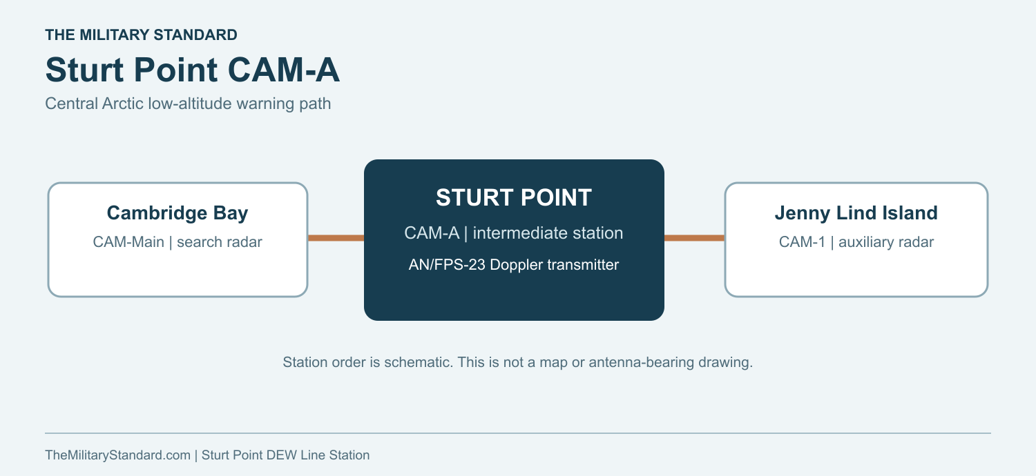
CAM-A carried AN/FPS-23 Fluttar equipment. Fluttar was a continuous-wave Doppler system intended to detect aircraft flying below the useful coverage of the rotating search radars at the main and auxiliary stations. Intermediate transmitters sent radio energy along the line; receivers at neighboring stations sensed a Doppler disturbance when an aircraft crossed a path. The arrangement supplemented the AN/FPS-19 search radars rather than replacing them. [1] [4] [5]
The Sturt Point tower supported its Doppler installation. Its job was to keep the equipment transmitting and the neighboring links usable so an alarm could be checked and forwarded by the adjacent stations. Cambridge Bay served as the main station to the west, and Jenny Lind Island was the auxiliary station to the east. CAM-A itself was an intermediate link in that warning chain. [1] [2] [4] [5]
The equipment required continuous power and routine adjustment. Technicians watched electronic performance, repaired radio and generator faults and dealt with antennas and cables exposed to Arctic weather. The receiver and reporting functions at other stations meant that an alarm from a Doppler crossing still depended on the wider DEW Line communications and command system to become an actionable warning. [4] [5]
People and Daily Life
Intermediate DEW Line sites were much smaller than sector main stations. They typically had a crew of about four: a radio technician, an inside mechanic, an outside mechanic and a cook. One of the technical workers usually acted as station chief. Staffing could vary by season and circumstance. [5]
The small crew lived close to the equipment it maintained. Meals, rest and recreation shared the same limited building group as the power and technical functions. A generator failure or transmission fault could call a technician out at any hour. Contact with larger stations came through the communications circuit and periodic aircraft or supply movements. The airstrip and beach access were thus part of daily service, not merely construction features. [2] [4] [5]
The station had to remain dependable while transport was uncertain. Workers kept fuel, generators and electronics ready, cleared access to equipment and handled the practical tasks of water, food, heat and vehicle repair. The work was physically demanding and repetitive, but its purpose was precise: maintaining a low-altitude warning path across the central Arctic coast. [4] [5]
Closure and Removal
By the early 1960s, the air-defense commands had concluded that improvements to the long-range search radars and a changed assessment of the bomber threat reduced the value of the FPS-23 intermediate fence. The Canadian government concurred in closing the Canadian intermediate posts. NORAD and CONAD records say the 28 intermediate stations ceased operations at 0001Z on July 21, 1963. Aerospace Defense Command gives that date for CAM-A. [1] [3]
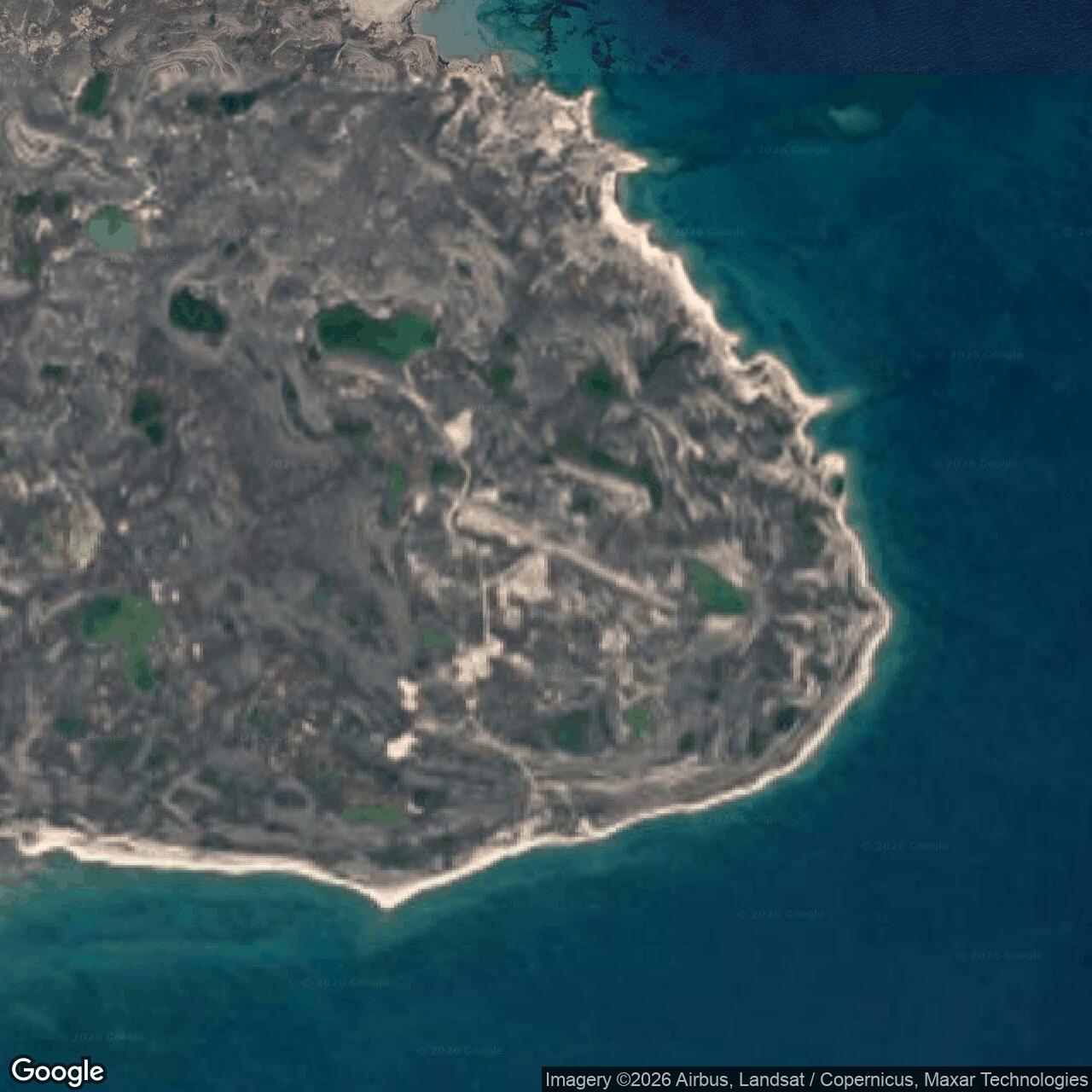
The Canadian government reports that Sturt Point was dismantled in the early 1970s. Foundations remained, while the fuel tanks and pipeline were removed. The original CAM-A post did not become the later North Warning System radar site. Sturt Point North CAM-A3A was established at a separate location as part of the replacement Arctic radar network. [2] [7] [8]
Chronology
- 1956 Construction and operation begin at Sturt Point according to the Canadian government site account. [2]
- August 1957 Aerospace Defense Command records CAM-A operating with AN/FPS-23 equipment. [1]
- July 21, 1963 CAM-A and the other 27 DEW Line intermediate stations cease operation. [1] [3]
- Early 1970s The original station is dismantled; foundations remain. [2]
- 1991 The later and separate Sturt Point North CAM-A3A enters the North Warning System inventory. [7] [8]
Related Sites
- DEW Line station directory
- DEW Line history
- Cambridge Bay CAM-Main
- Jenny Lind Island CAM-1
- Sturt Point North CAM-A3A
- AN/FPS-23 Fluttar
- AN/FPS-19 search radar
- AN/FPS-124 short-range radar
Information sources (9)
- PDFAerospace Defense Command, Historical Data of the Aerospace Defense Command, 1946-1973, DEW Line station table
Official identification of Sturt Point CAM-A as an AN/FPS-23 intermediate station, operating by August 1957 and closed July 21, 1963.
- PDFGovernment of Canada, DEW Line Cleanup, Winter 2012, Sturt Point, p. 9
Station-specific location, 1956 to 1963 operating period, buildings, radar tower, fuel storage, airstrip, beach cargo area and early 1970s dismantling.
- PDFNORAD and CONAD, Historical Summary, January to June 1963, intermediate-site reduction
Contemporary explanation of the AN/FPS-23 retirement, Canadian concurrence and the 0001Z July 21, 1963 shutdown of 28 intermediate stations.
- PDFU.S. Air Force, A History of the DEW Line, 1946-1964
Original DEW Line construction, contractor operation, radar and communications roles and broader intermediate-station closure.
- WEBThe DEWLine, A Brief Introduction
Firsthand technical description of intermediate Doppler stations, station staffing, maintenance and seasonal supply. Typical practice is distinguished from a documented CAM-A complement.
- WEBThe DEWLine, Sturt Point CAM-A station page
Identifies the original CAM-A intermediate station and records that no operating-era site photographs are available in this collection.
- PDFGovernment of Canada, North Warning System site locations, Sturt Point North CAM-A3A
Identifies the later Sturt Point North short-range radar as a separate North Warning System installation.
- WEBThe DEWLine, North Warning System station inventory
Lists Sturt Point North CAM-A3A separately from the former CAM-A site and identifies its later AN/FPS-124 radar.
- PDFGovernment of Canada, DEW Line site inventory, 1985
Published approximate original CAM-A coordinate and station inventory.