
Adak White Alice Communications Site, Alaska
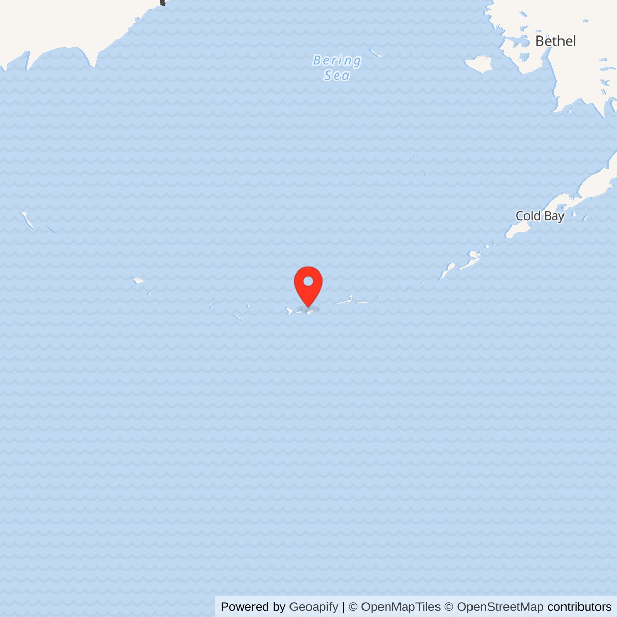
Longitude: -176.705464
Current Role: Former communications site, demolished. Alaska DEC lists SWMU 67 cleanup complete with institutional controls.
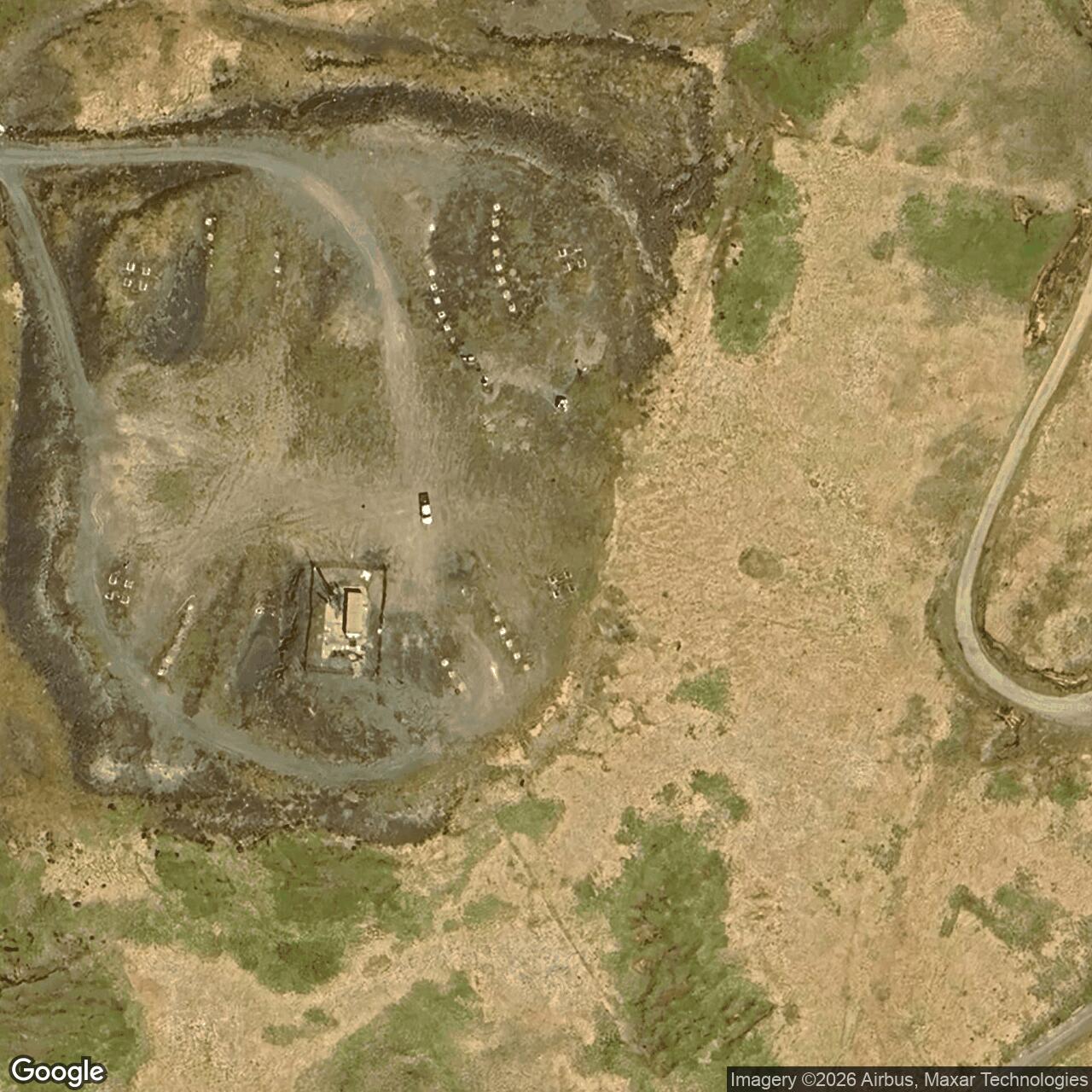
Approximate location: 51.871836 N, 176.705464 W. Alaska DEC uses this point for the former White Alice source area about two miles west of downtown Adak. It is not a surveyed station boundary. [3]
- Mission
- Project Bluegrass troposcatter communications relay.
- Eastward link
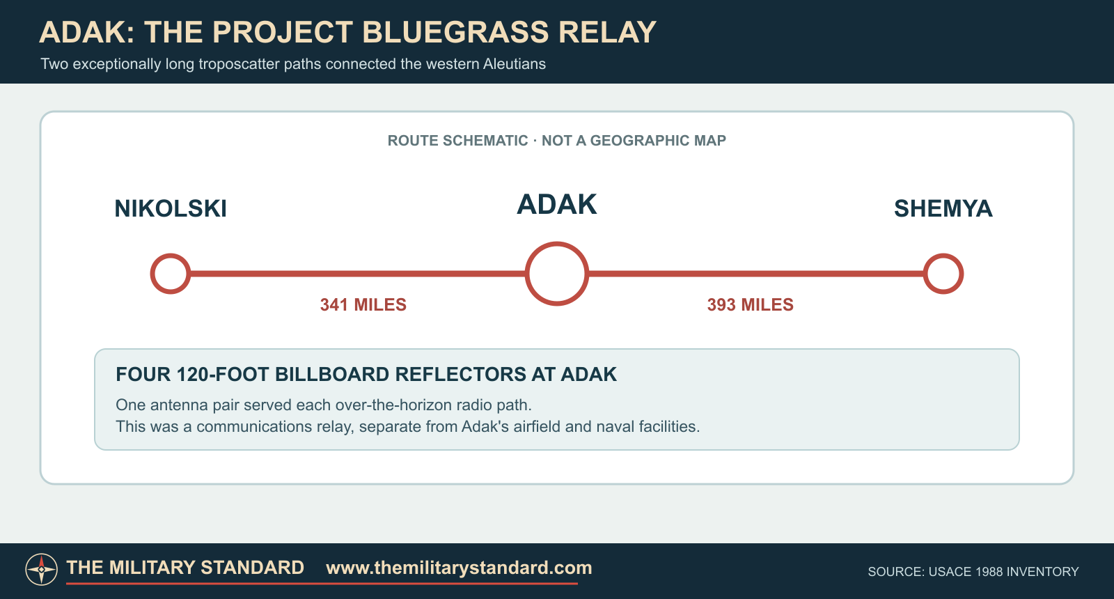
- Nikolski Air Force Station, 341 miles.
- Westward link
- Shemya, 393 miles.
- Principal antennas
- Four 120-foot billboard reflectors, two per path.
- Service
- Completed in 1968; deactivated November 1, 1978.
Overview
Adak White Alice Communications Site was the middle relay of Project Bluegrass, the Air Force extension that carried long-distance military communications to the western Aleutians. From a ridge west of the Adak naval installation, it linked Nikolski on Umnak Island with Shemya near the end of the chain. These 341- and 393-mile radio paths helped carry radar reports and command traffic across a region where ordinary line-of-sight radio could not bridge the water gaps. [1] [2]
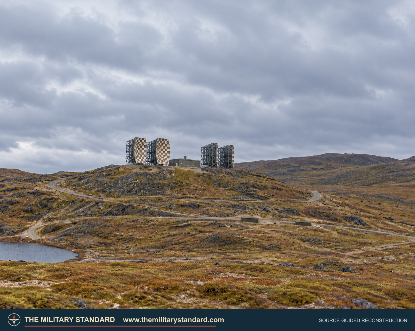
Adak White Alice was a communications relay, not an aircraft-search radar station. It operated within Adak's broad military landscape but had a different mission from the former Davis Air Force Base, Adak Naval Operating Base, and the Navy's other communications facilities. [1] [3] [4]
Project Bluegrass and Construction
The original White Alice network connected radar and command facilities across mainland Alaska. Project Stretchout carried those circuits down the Alaska Peninsula and through the Aleutians to Nikolski. Project Bluegrass then extended the route to Adak and Shemya, completing the extension in 1968. [1] [2]
Four 120-foot billboard reflectors stood on the Adak ridge. One pair served Nikolski to the east and another pair served Shemya to the west. Each fixed antenna aimed low over the horizon. Tropospheric scatter in the lower atmosphere carried the signals beyond direct line of sight, while paired antennas gave the radio path diversity under changing propagation conditions. The station also needed radio equipment, power, fuel, and access from the Adak base area. [2]
Western Aleutian Relay
The Corps inventory measured 341 miles from Adak to Nikolski and 393 miles from Adak to Shemya. Nikolski tied the route to the older Aleutian chain; Shemya was the far-western White Alice terminal and had a separate communications connection toward the Coast Guard installation on Attu. Adak was the intermediate station that joined the two long paths. [2]
The 1994 Corps study describes the extension as carrying radar data from the western bases into the NORAD defense network. White Alice could also move other communications circuits over the same difficult sea-spanning route. Its role at Adak was to move information reliably, not to detect aircraft with its own radar. [1] [2]
Operations and Closure
The Adak and Shemya relays entered service in the late 1960s. The Corps dates deactivation of the Bluegrass extension to November 1, 1978. Satellite systems increasingly replaced long-distance troposcatter service during the same period. The Navy later removed the Adak facility. [1] [2] [5]
The former radio ridge is separate from Adak's airfield and other naval facilities. Alaska DEC tracks the former White Alice source area as SWMU 67 and lists its cleanup status as complete with institutional controls. The large reflectors and original operating plant no longer stand. [1] [3]
Historical Images
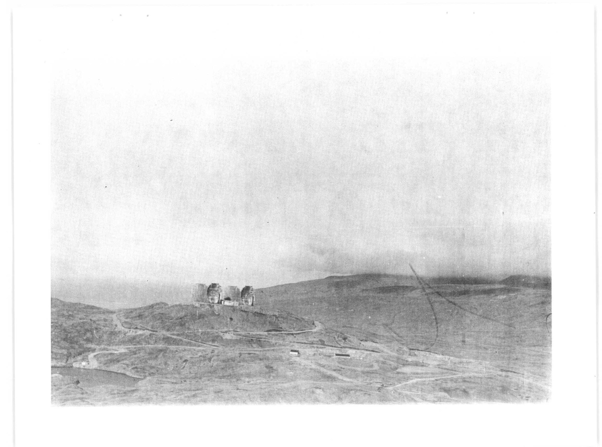
The photograph below appears in the 1988 Corps inventory and is indexed as an Alaskan Air Command image of the Adak complex with 120-foot antennas. It shows the actual four-reflector station from a lower vantage point. The photograph is undated. [2]
Chronology
- 1968 The Adak-Shemya Project Bluegrass extension is completed.
- Late 1960s Adak and Shemya White Alice terminals enter operation.
- November 1, 1978 The Project Bluegrass relay is deactivated.
- By 1988 The Corps inventory reports that the Adak and Shemya relay facilities have been demolished.
- 1994 The Corps management plan records removal of the Adak White Alice facility by the Navy.
Information sources (5)
- PDF1. The Cold War in Alaska: A Management Plan for Cultural Resources, U.S. Army Corps of Engineers, 1994
Source for: Adak Radio Relay identity, Project Bluegrass purpose, 1968 completion, November 1, 1978 deactivation, demolition, and relationship to Aleutian radar communications.
- PDF2. Historical Overview and Inventory: White Alice Communication System, U.S. Army Corps of Engineers, 1988
Source for: Adak-Nikolski and Adak-Shemya distances, 120-foot antenna class, late-1960s operations, archival Adak photograph and caption.
- WEB3. Adak SWMU 67 White Alice Radar Site, Alaska Department of Environmental Conservation
Source for: approximate former station-area coordinate, location west of downtown Adak, and present cleanup status.
- WEB4. Former Naval Air Facility Adak, U.S. Navy BRAC Program Management Office
Source for: Adak naval installation context and distinction from the radio relay.
- PDF5. The Coldest Front: Cold War Military Properties in Alaska, Alaska Office of History and Archaeology
Source for: broader Project Bluegrass chronology, 120-foot reflectors, Aleutian military context, and replacement by satellite communications.