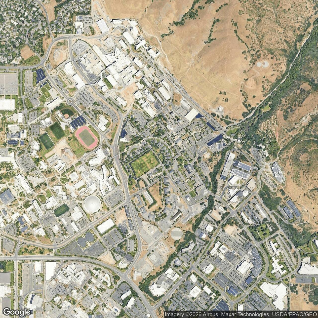
Fort Douglas Army Air Field, Utah
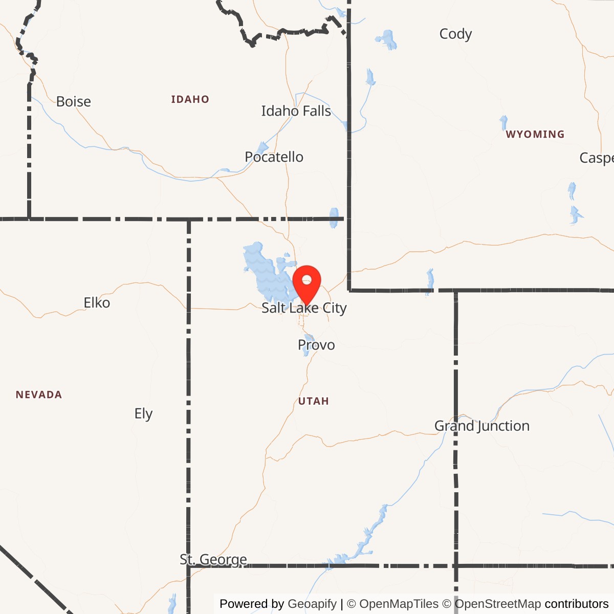
Longitude: -111.833
Fort Douglas Army Air Field was a small military airfield located adjacent to Fort Douglas in Salt Lake City, Utah. Established during World War II, it served primarily as an auxiliary field to support training, logistics, and administrative air operations for the nearby Salt Lake City Army Air Base. The airfield contributed to regional military readiness before being deactivated after the war.
Constructed amid wartime expansion, Fort Douglas Army Air Field provided overflow capacity for pilot training and administrative flights connected to the Army Air Forces. It was not a major combat base but functioned as a logistical and support hub, handling liaison aircraft and limited flight operations. Its proximity to Fort Douglas and Salt Lake City made it strategically convenient for military coordination.
The field typically featured a single runway, small hangars, and maintenance buildings adequate for light aircraft. It complemented the larger Salt Lake City Army Air Base (now Salt Lake City International Airport), allowing for dispersal of aircraft and training activities in the region. Air operations included courier flights, officer transport, and occasional training exercises.
Following the end of World War II, the Army Air Field was deactivated and its facilities absorbed into the broader Fort Douglas installation. Much of the surrounding land was later transferred to the University of Utah.