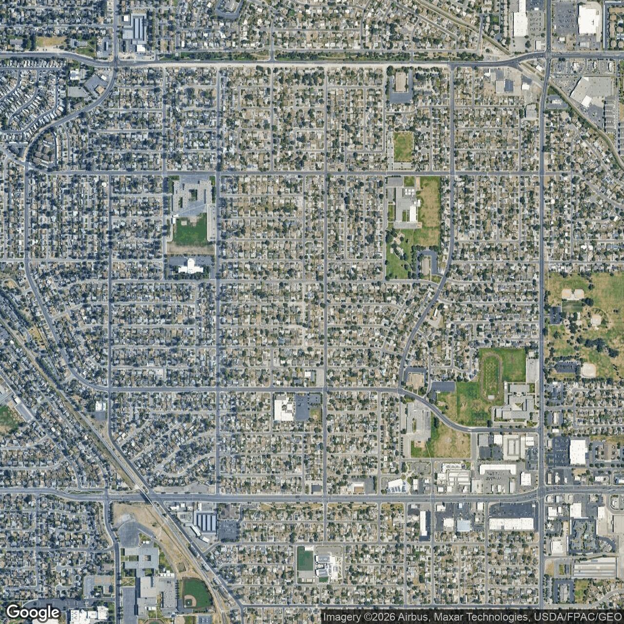
Kearns Army Air Base, Kearns Utah
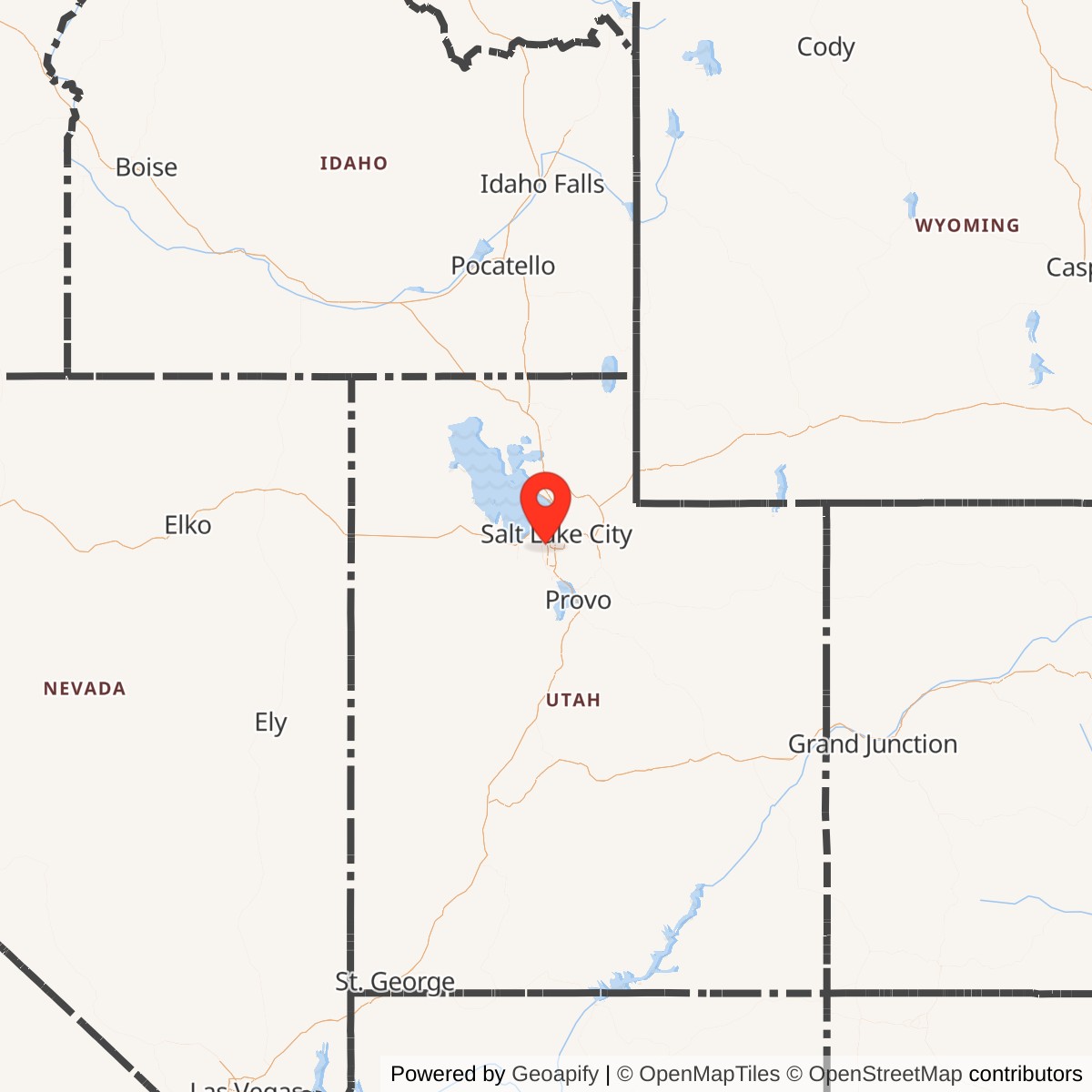
Longitude: -111.997
Kearns Army Air Base was a World War II-era United States Army Air Forces training installation located near present-day Kearns, Utah. Active from 1942 to 1946, it served primarily as a basic training center for airmen and a support hub for regional military operations in the western United States.
Constructed rapidly after the U.S. entered World War II, Kearns Army Air Base was part of the Army Air Forces' expansion of basic training capacity. The base offered instruction in military discipline, physical conditioning, and technical skills for enlisted personnel. It operated under the Western Technical Training Command and coordinated closely with other regional facilities supporting air operations.
The base encompassed more than 5,000 acres and included extensive barracks, drill fields, motor pools, and service schools. Though lacking a major runway, Kearns functioned as a ground training and administrative center rather than a flying field. It also handled logistical duties for air units moving through the Mountain West.
After the war's end, the base was decommissioned in 1946, and much of the land was transferred to civilian authorities. The surrounding area evolved into the suburban community of Kearns, Utah, retaining portions of the original grid and street layout. Only a few structural remnants remain.