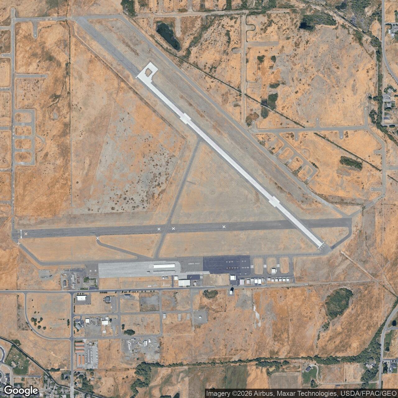
Ellensburg Army Air Field, Washington
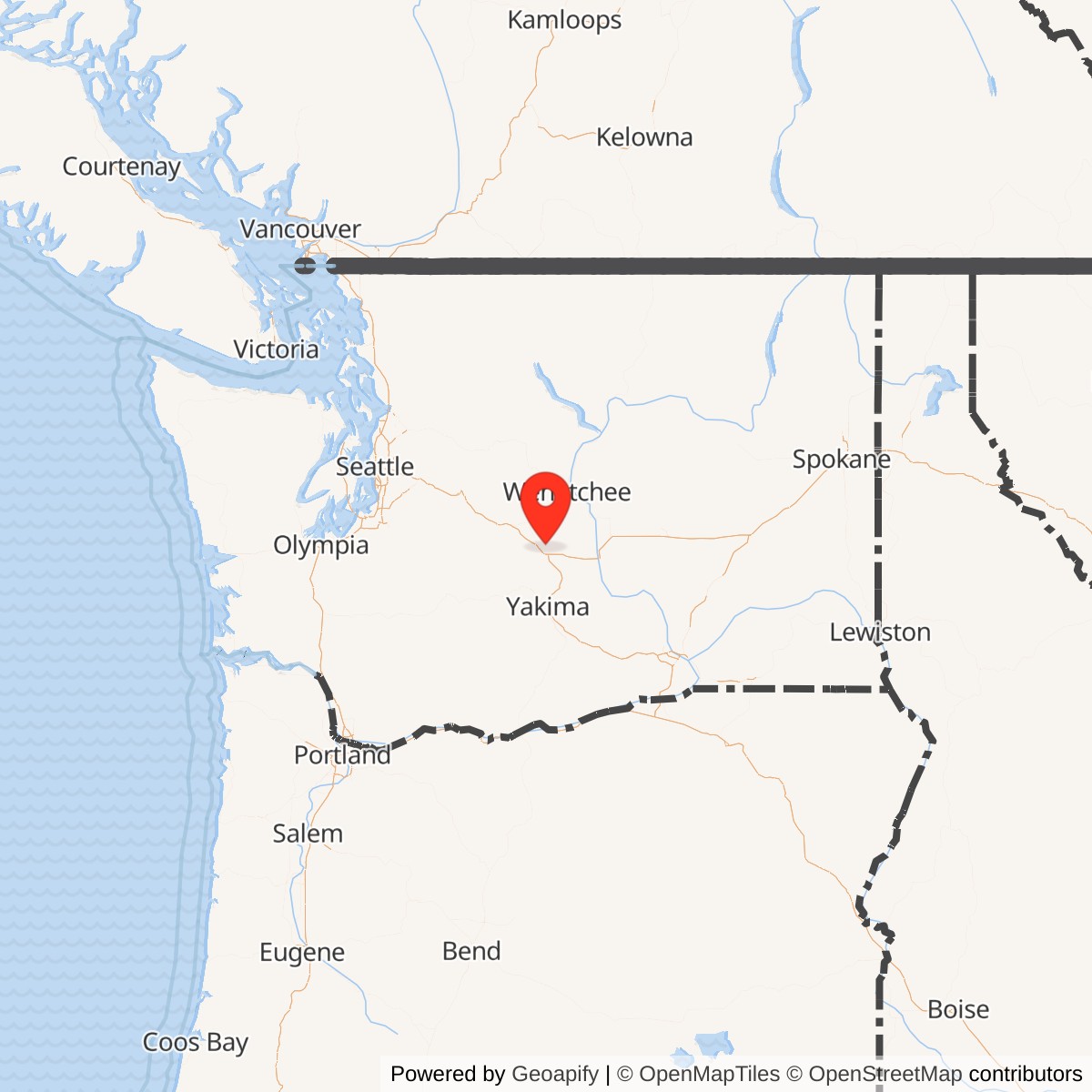
Longitude: -120.531
Ellensburg Army Air Field was a World War II military airfield near Ellensburg, Washington, operated by the United States Army Air Forces. Built as part of the wartime training network, it supported flight instruction and regional defense functions before returning to civilian use after 1945.
Constructed in 1943, Ellensburg Army Air Field was established to alleviate congestion at larger Washington training bases. It typically hosted basic and advanced flight instruction under the Second Air Force, training aircrews on single- and twin-engine aircraft used for reconnaissance and support. The field's layout included two paved runways, hangars, and temporary barracks, reflecting the rapid-deployment design of wartime auxiliary airfields.
After World War II, military activity at the field ceased, and control was transferred to local authorities under federal surplus property programs. The airfield was renamed Bowers Field in honor of Ensign Keith Bowers, a local naval aviator killed in service. Since the late 1940s it has operated as Ellensburg's primary public airport, serving general aviation and acting as a training site for Central Washington University's aviation program.