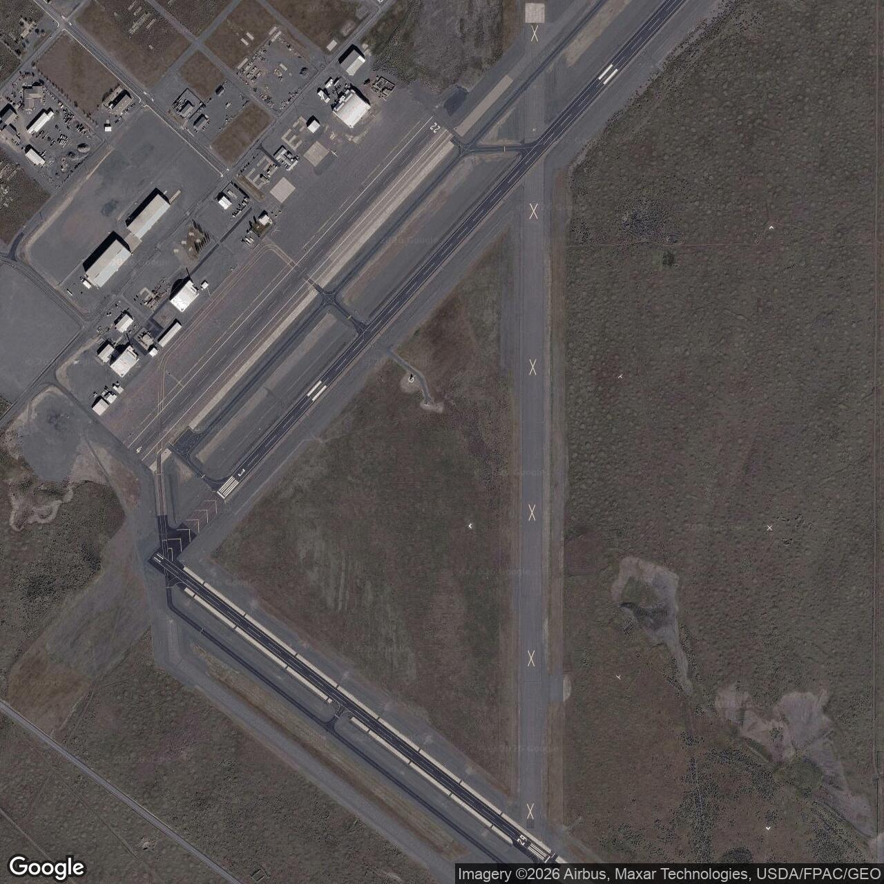
Ephrata Army Air Field, Washington
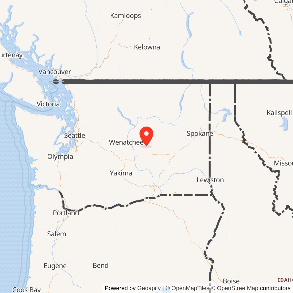
Longitude: -119.515
Ephrata Army Air Field was a World War II U.S. Army Air Forces base located near Ephrata, Washington. Established as part of the wartime expansion of bomber training facilities, it served primarily as a heavy bomber training site for crews preparing to fly the Boeing B-17 Flying Fortress and Consolidated B-24 Liberator. The field played a vital role in readying bomber groups for overseas combat deployment.
Built rapidly in early 1942, the base included four long runways and extensive maintenance, housing, and classroom facilities. Its isolated location and favorable weather made it ideal for bomber training. Thousands of aircrew members trained there under the Second Air Force before their assignment to active combat units in Europe and the Pacific.
The field hosted several bombardment groups, including the 390th and 398th, during various training cycles. Ground crews and flight instructors at Ephrata provided essential preparation in formation flying, bombing accuracy, and navigation. The training tempo reflected the urgent wartime demand for well-prepared heavy bomber teams.
Following the war's end in 1945, Ephrata Army Air Field was declared surplus and transferred to local authorities. It evolved into Ephrata Municipal Airport, maintaining portions of the wartime infrastructure.