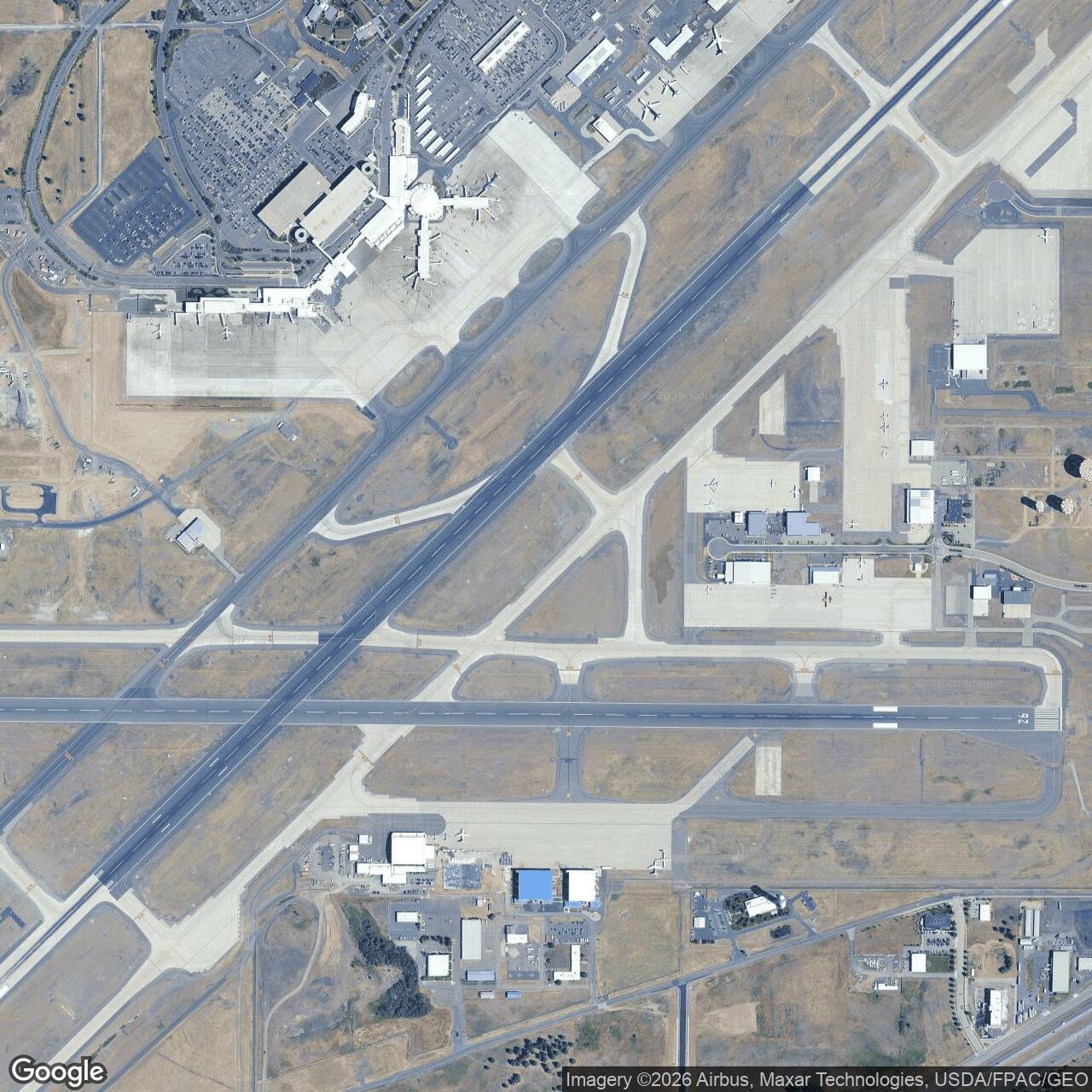
Geiger Army Air Field, Washington
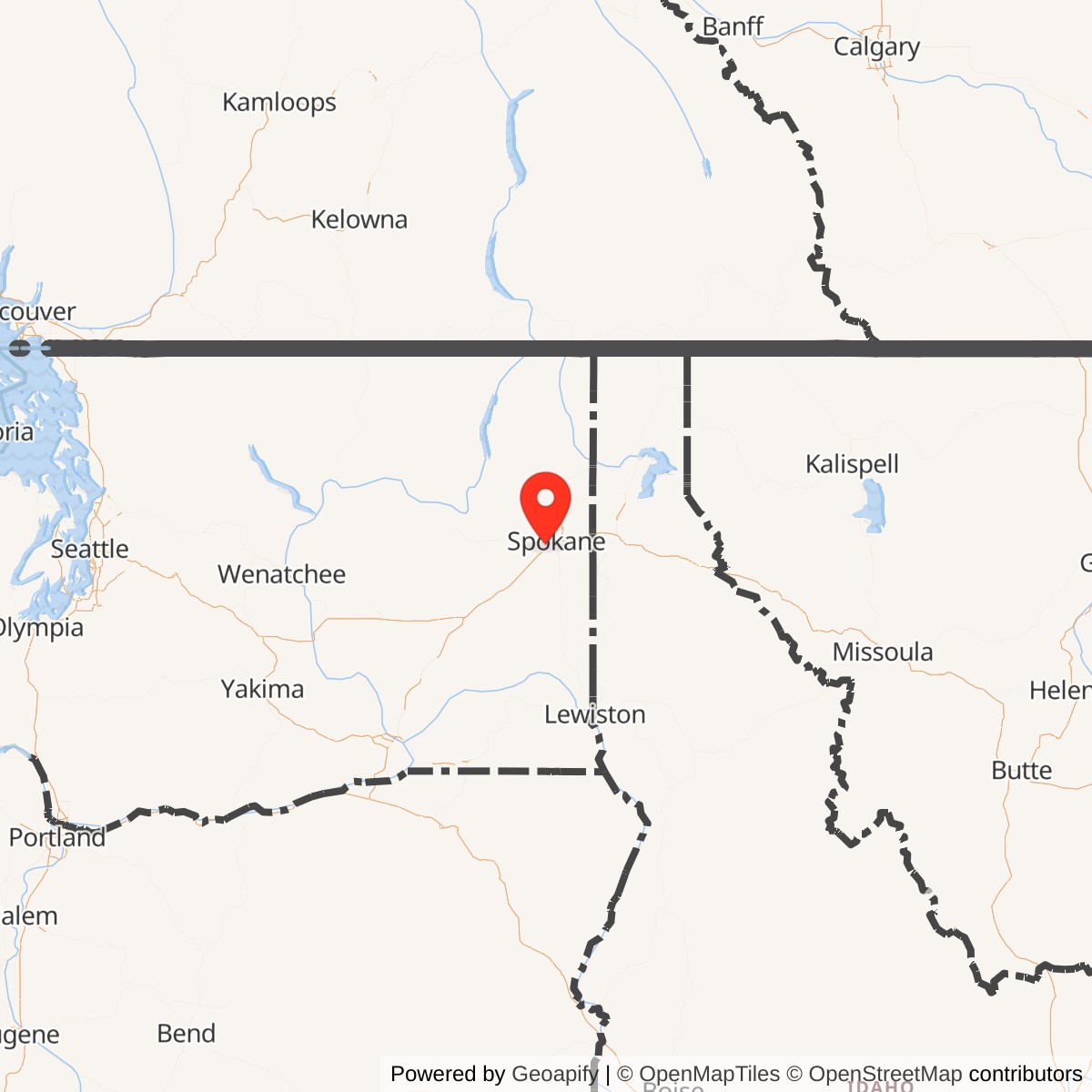
Longitude: -117.5330
Geiger Army Air Field was a United States Army Air Forces installation located near Spokane, Washington. Established during World War II, it served as a key training and support base for bomber and fighter operations in the northwestern United States. The field later evolved into what is now Spokane International Airport.
Geiger Army Air Field opened as part of the Army Air Corps expansion preceding U.S. entry into World War II. It hosted units training on B-17 Flying Fortresses and other aircraft for bomber command assignments. As part of the Second Air Force, the base supported aircrew preparation for combat theaters abroad and coordinated closely with other regional airfields such as Fairchild Air Force Base.
The base included runways, hangars, barracks, and maintenance shops built rapidly under wartime urgency. Units rotating through included heavy bombardment groups, replacement training units, and transient ferrying operations. Its geographic position offered clear weather and proximity to logistical routes across the Pacific Northwest.
Following the war's end, Geiger Army Air Field was declared surplus and transferred to the city of Spokane in 1946, becoming Geiger Field municipal airport. With further expansion and modernization, it was renamed Spokane International Airport in 1960.