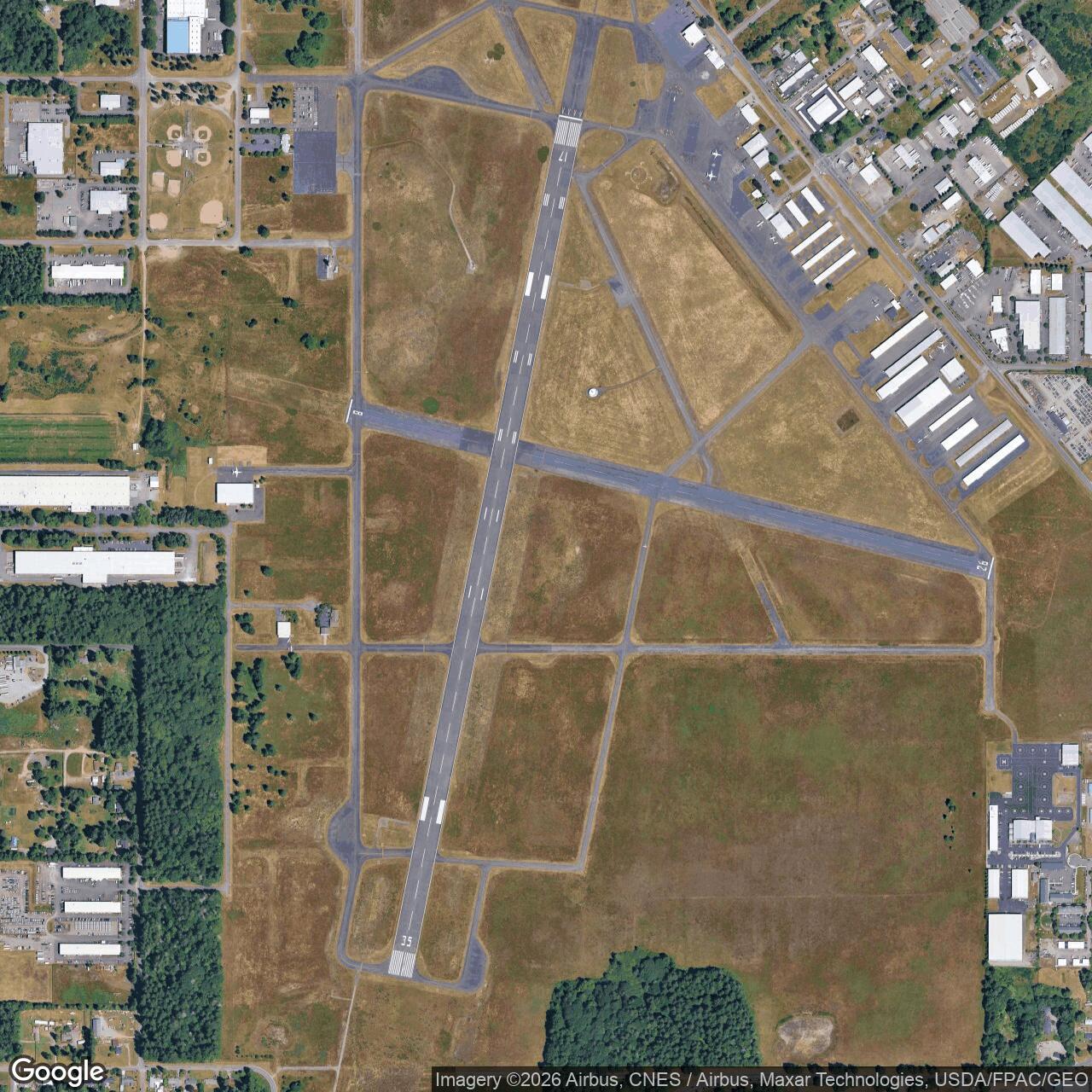
Olympia Army Air Field, Washington
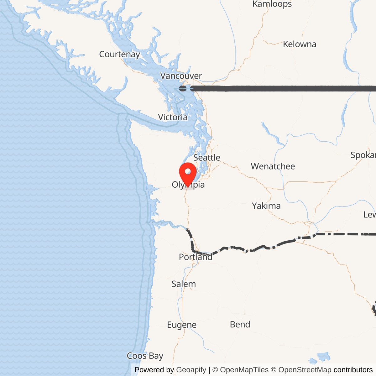
Longitude: -122.903
Olympia Army Air Field was a World War II-era military air base located near Olympia, Washington. Operated by the United States Army Air Forces, it served as an auxiliary training and support facility for aviation units during the early 1940s. The site played a role in regional pilot instruction and air defense readiness along the U.S. Pacific Coast.
Olympia Army Air Field was developed shortly before the U.S. entered World War II to expand training capacity for the Army Air Forces. The airfield supported the Civilian Pilot Training Program and provided an overflow site for training flights from larger Washington bases such as McChord Field. Aircraft commonly operating from Olympia included trainers like the PT-17 Stearman and other light utility planes used for navigation and flight instruction.
Given its proximity to Puget Sound and key West Coast infrastructure, the airfield contributed to early-war coastal defense operations. It hosted patrol and observation flights tasked with monitoring maritime traffic and coordinating regional air readiness during the period of heightened concern following the attack on Pearl Harbor.
After 1945, the Army Air Forces decommissioned the site, transferring control back to local authorities. It became Olympia Airport, today Olympia Regional Airport, and remains an active general aviation facility. Little original military infrastructure survives.