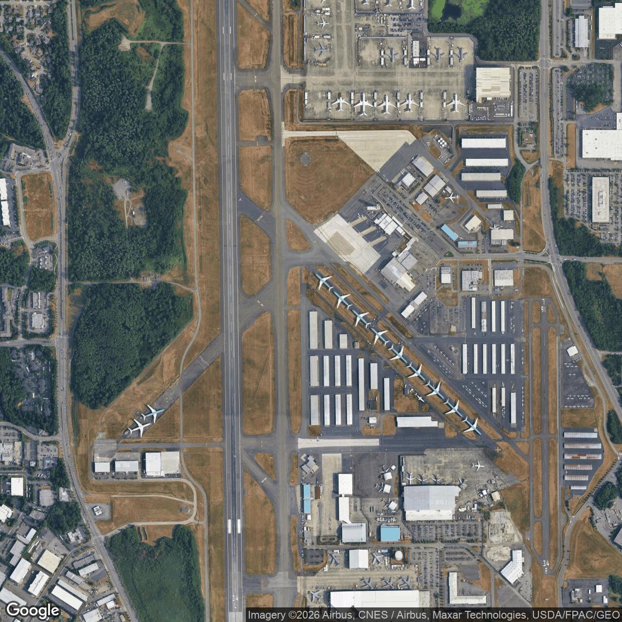
Paine Air Force Base, Everett Washington
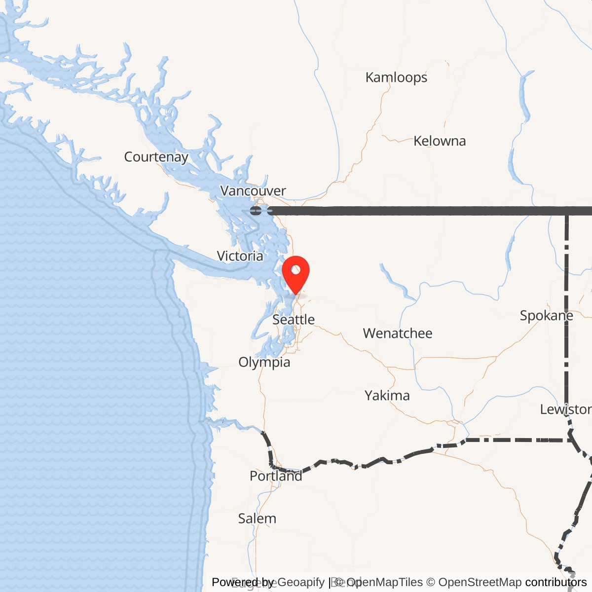
Longitude: -122.282
Paine Air Force Base was a former United States Air Force installation located in Everett, Washington. Operational from the late 1940s to the late 1960s, it played a key role in air defense and Cold War readiness in the Pacific Northwest. The site is now home to civilian aviation facilities known as Paine Field.
Initially constructed as Paine Army Airfield before World War II, the base was named after Topliff O. Paine, an early Army Air Corps pilot from Washington. It was used as a training and maintenance hub during the war. In 1948, with the establishment of the U.S. Air Force, it was redesignated Paine Air Force Base and became part of the Air Defense Command.
During the 1950s and 1960s, the base hosted interceptor squadrons and radar units charged with defending the Seattle-Puget Sound area. Aircraft such as the F-89 Scorpion and F-102 Delta Dagger operated from Paine AFB, underscoring its strategic importance in continental air defense during the early Cold War.
Paine Air Force Base was closed in 1968 as part of a nationwide drawdown and realignment of defense installations. The property was transferred to Snohomish County and redeveloped as a mixed-use civil airport, today known as Paine Field. The site now supports commercial flights, general aviation, and the Boeing wide-body aircraft assembly facilities.