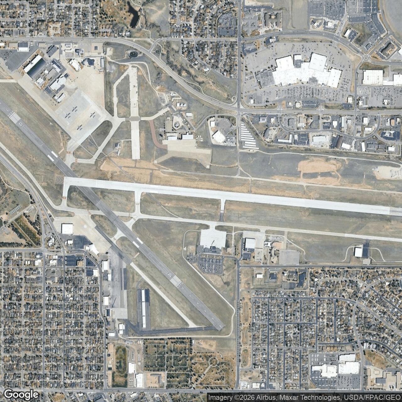
Cheyenne Army Air Field, Wyoming
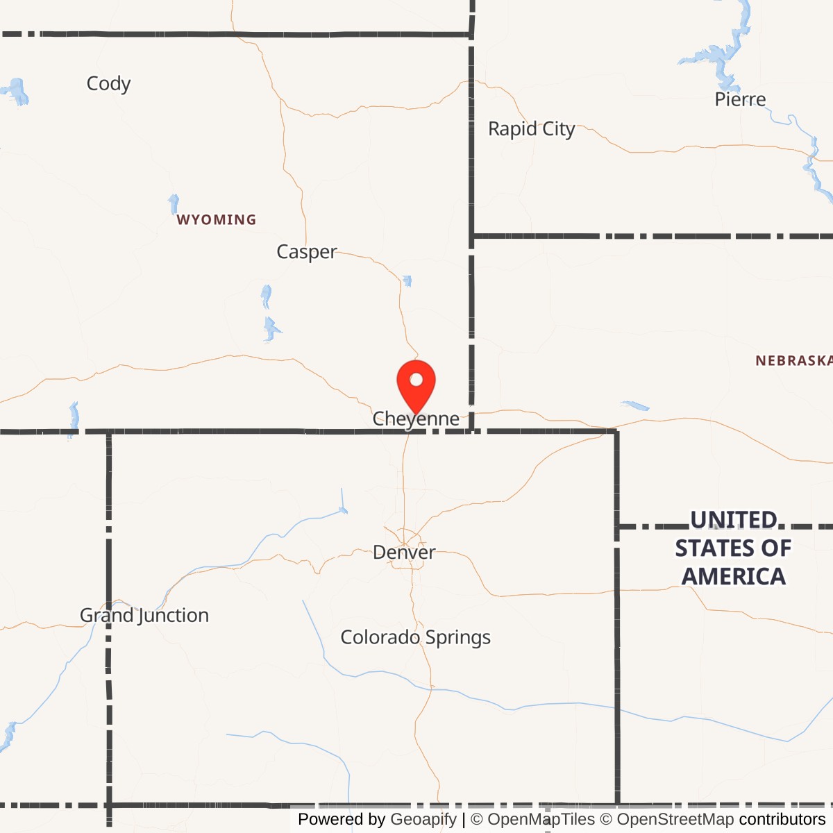
Longitude: -104.8118
Current Role: Became Cheyenne Municipal Airport and ANG base.
Cheyenne Army Air Field, located in Cheyenne, Wyoming, was a major United States Army Air Forces base during World War II. It served as a key site for aircraft modification, maintenance, and crew training, contributing significantly to wartime logistics and pilot preparation.
Constructed in 1942, Cheyenne Army Air Field supported the Second Air Force by providing training for bomber crews and maintenance personnel. The base specialized in modifying and testing aircraft, particularly bombers such as the B-17 and B-24, before they were deployed overseas. Thousands of airmen passed through its programs during the war years.
After World War II, the base was transferred from the Army Air Forces to civilian control. Much of the facility became the Cheyenne Municipal Airport, later renamed Cheyenne Regional Airport. Portions of the former base remain in use by the Wyoming Air National Guard.