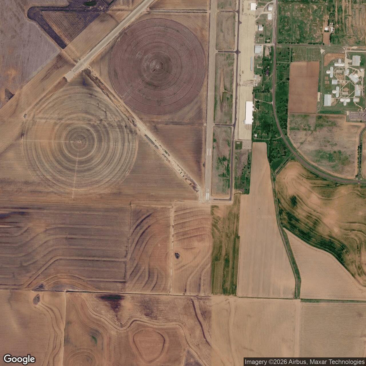
Childress Army Air Field, Childress Texas
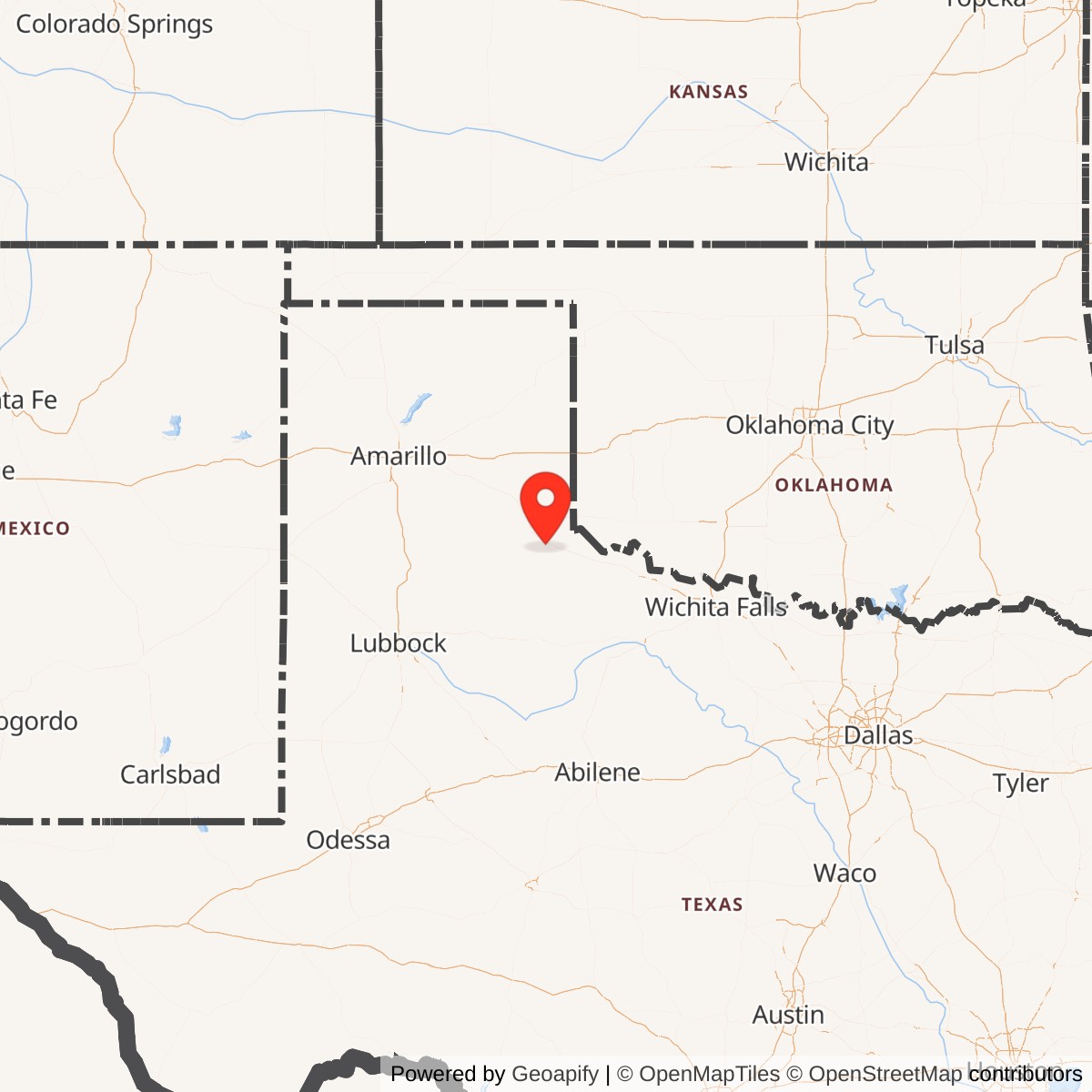
Longitude: -100.2880
Childress Army Air Field was a World War II-era United States Army Air Forces training base located near Childress, Texas. It served as one of several specialized facilities for bomber navigation training, contributing significantly to the wartime pilot and navigator education effort across the American home front.
Commissioned in November 1942, Childress Army Air Field was designed to train navigators for multi-engine bombers such as the B-17 Flying Fortress and B-24 Liberator. Its curriculum included celestial, dead-reckoning, and radio navigation. Thousands of airmen graduated there, filling a critical need for trained navigators in overseas combat theaters.
The base included multiple runways, hangars, barracks, classrooms, and a bombing range. Training missions routinely took students across the southern United States. The field also supported ground school instruction, flight simulation, and practical night-navigation exercises, reflecting the rapid wartime scaling of aviation education infrastructure.
Following Japan's surrender in 1945, the Army Air Forces quickly demobilized, and Childress Army Air Field was inactivated the same year. The property was later transferred to the city of Childress for civil aviation use as the Childress Municipal Airport.