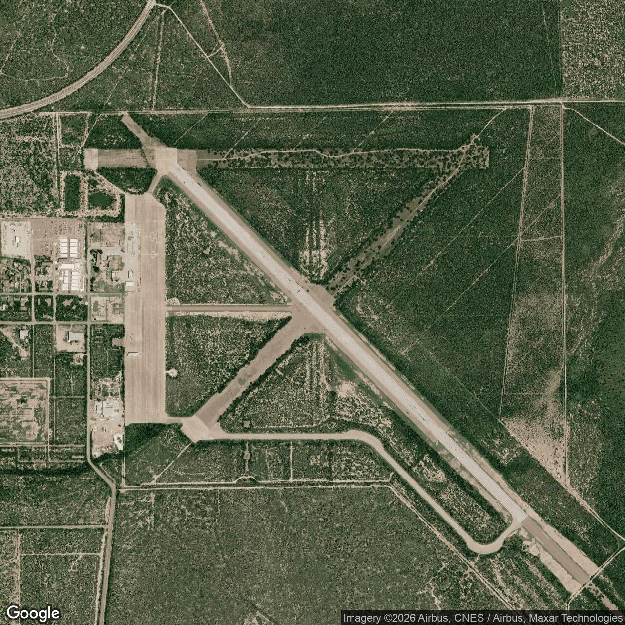
Eagle Pass Army Air Field, Texas
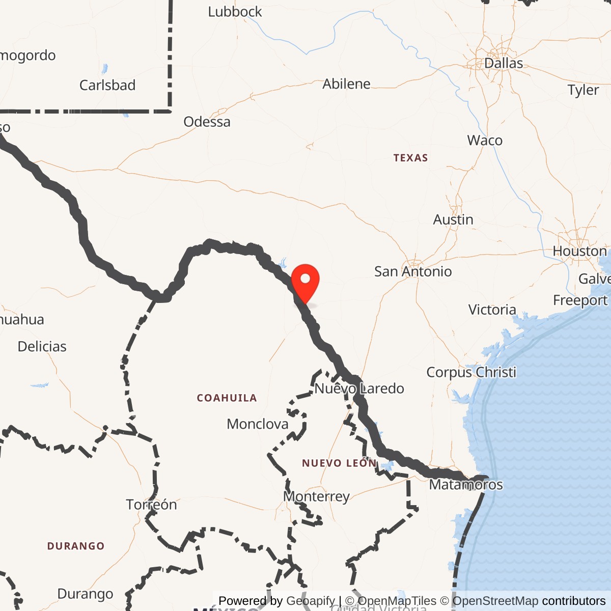
Longitude: -100.516682
Eagle Pass Army Airfield was a World War II-era military airfield located near Eagle Pass, Texas. Built as part of the U.S. Army Air Forces' pilot training network, it served as an advanced single-engine training base preparing cadets for combat and operational assignments.
Constructed in 1942, Eagle Pass Army Airfield featured multiple runways, hangars, and training facilities. It operated under the Central Flying Training Command, training pilots on aircraft such as the AT-6 Texan. The base contributed to the wartime pilot surge needed for the European and Pacific theaters.
After World War II, the airfield was deactivated in 1945 as military flight training rapidly scaled down. Control transferred to local authorities, and the site was intermittently used for civil aviation and auxiliary military purposes in subsequent decades.
Today, portions of the original airfield infrastructure survive as part of the Maverick County Memorial International Airport. Some wartime-era foundations and layout traces remain visible