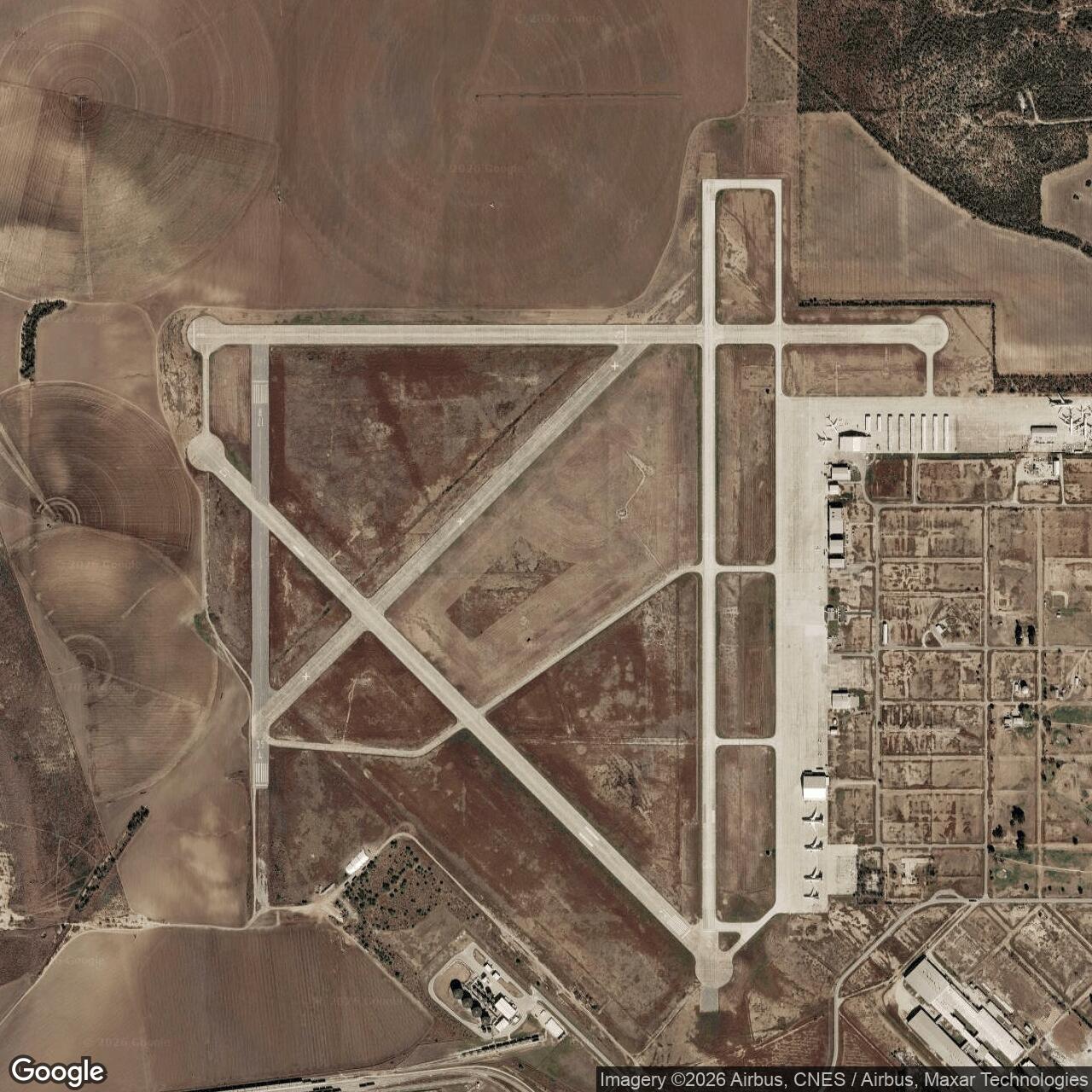
Hondo Army Air Field - Hondo Air Base, Texas
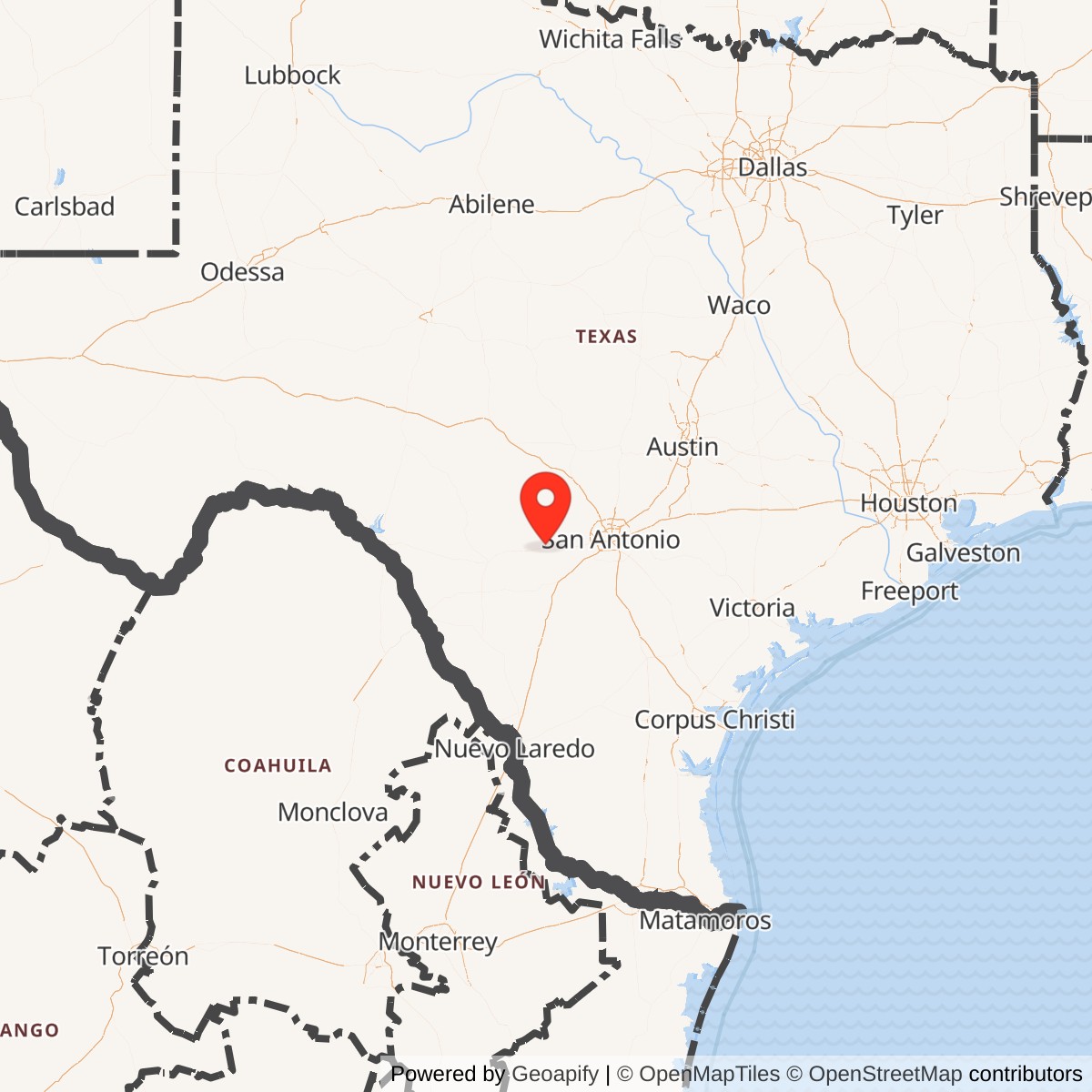
Longitude: -99.1761
Hondo Army Air Field was a World War II-era United States Army Air Forces installation located near Hondo, Texas. It served primarily as a navigation training base and became one of the largest such facilities in the country during the war. The field contributed significantly to training aircrew for global combat operations. Built in 1942, the field was part of a rapid wartime expansion of flight training infrastructure. Its primary purpose was to train aerial navigators, a critical role as Allied air operations expanded across multiple theaters. The base featured multiple runways, classrooms, and barracks designed to handle thousands of trainees and support staff. During its peak years, Hondo Army Air Field trained tens of thousands of navigators using advanced celestial and radio-navigation techniques. The program supported the global operations of the Army Air Forces, making the base a vital component of the aircrew pipeline that sustained World War II missions across Europe and the Pacific. After the war, the airfield was briefly deactivated and later reopened as Hondo Air Base during the early Cold War. It trained both U.S. and allied personnel before closing again in the late 1950s. The site was subsequently transferred for civilian use and became the Hondo Municipal Airport, now known as South Texas Regional Airport at Hondo.