
Shemya White Alice Communications Site, Alaska
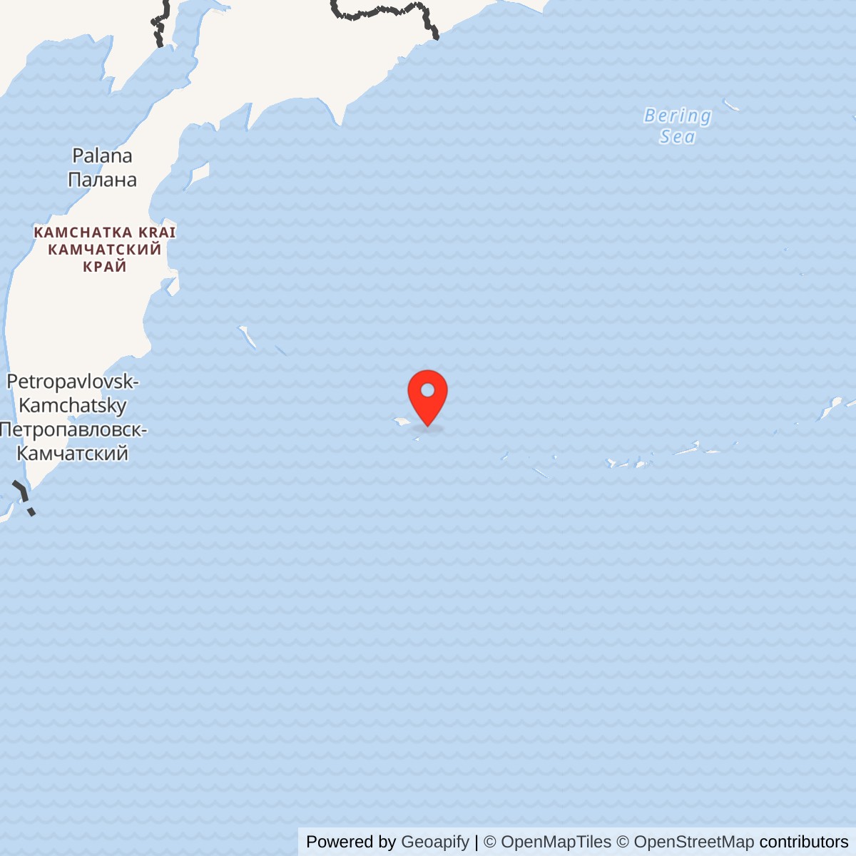
Longitude: 174.138811
Current Role: Former White Alice terminal within Eareckson Air Station. Billboard antennas removed in the 1980s; Corps 1994 study records conversion of the equipment building to other uses. Current building condition not verified.
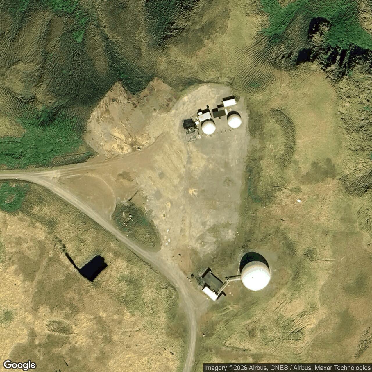
Approximate former-site reference: 52.724158 N, 174.138811 E. Alaska DEC uses this point for its SS012 Old White Alice record. It is not a surveyed station boundary. [4]
- Mission
- Project Bluegrass troposcatter communications terminal.
- Eastward link
- Adak White Alice, 393 miles.
- Principal antennas
- Two 120-foot billboard reflectors.
- Service
- Operational by 1968; Bluegrass deactivated November 1, 1978.
- Parent installation
- Shemya Air Force Base / Eareckson Air Station.
Overview
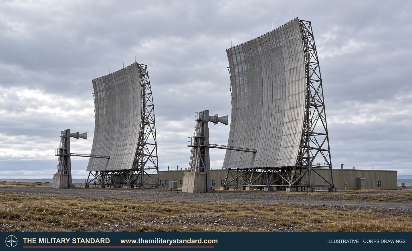
Shemya White Alice Communications Site was the western terminal of Project Bluegrass, the last major extension of Alaska's White Alice communications network. A 393-mile tropospheric-scatter path connected it with Adak. From Shemya, military command traffic and radar information could move east through Adak and the wider Alaskan defense communications system. This was a communications station, not an aircraft-search radar. [1] [2]
The Corps identified Shemya Radio Relay as a historic resource within the much larger Shemya air-station landscape. The island's airfield, intelligence facilities, and radar installations had their own missions, even as they relied on dependable off-island communications. [1] [5]
Project Bluegrass
The initial White Alice routes carried circuits among Alaskan air-defense sites. Project Stretchout extended the network down the Alaska Peninsula and through the Aleutians to Nikolski. Project Bluegrass then continued to Adak and Shemya. The Corps' 1994 history dates full completion of the Adak-Shemya extension to 1968. [1] [2]
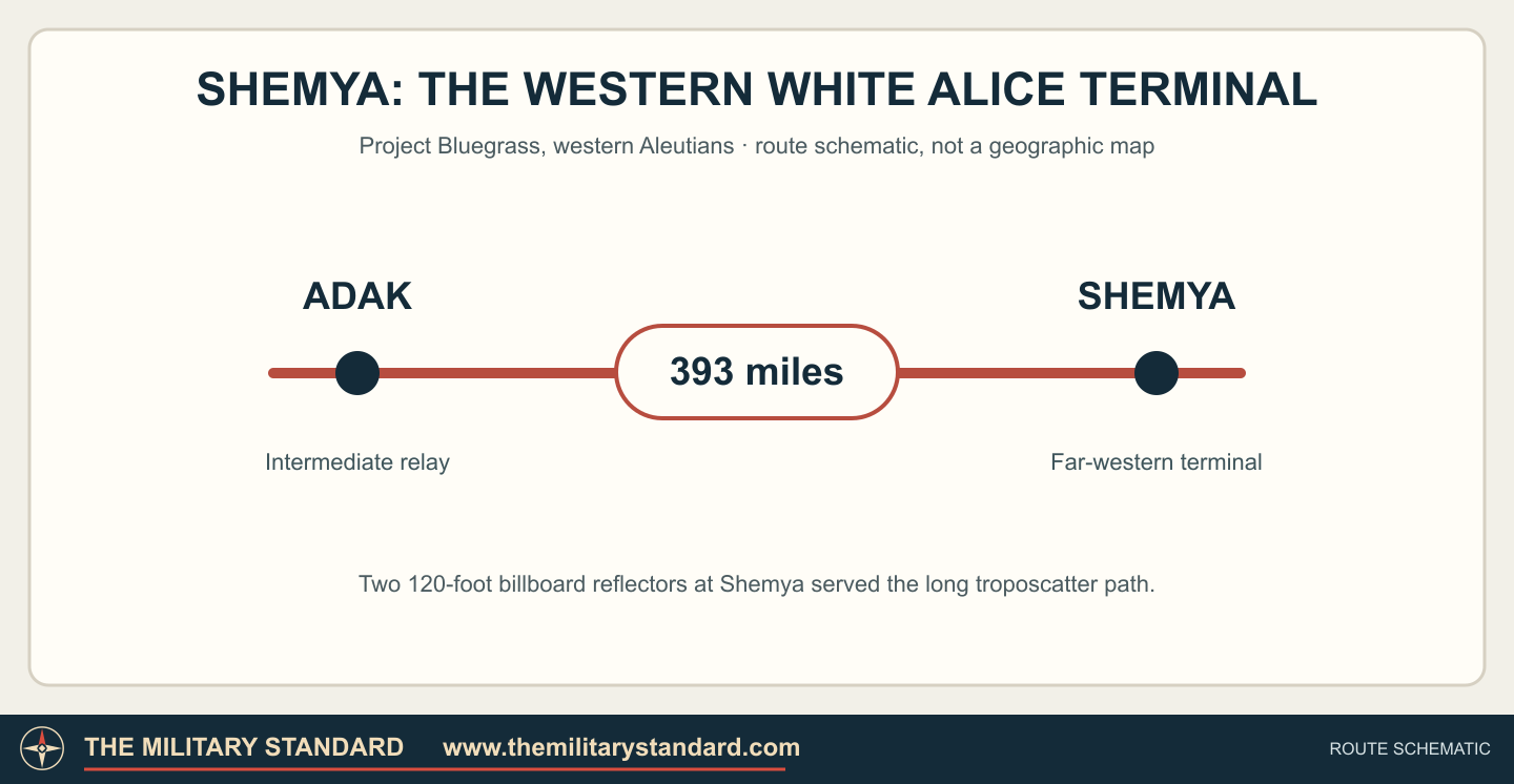
Shemya was the far-western terminal of that route. The Corps inventory also mentions a connection toward the Coast Guard station on Attu, but does not describe it as another White Alice billboard path. The Adak link joined Shemya's military activities to Alaska's wider defense communications network. [1] [2]
Station and Equipment
Two fixed 120-foot billboard reflectors served the Adak-facing path. Their feed systems directed radio energy toward the lower atmosphere above the horizon. Tropospheric scattering allowed the signal to bridge a sea crossing far beyond ordinary line-of-sight radio range; the paired antenna arrangement gave the link diversity in changing conditions. [2]
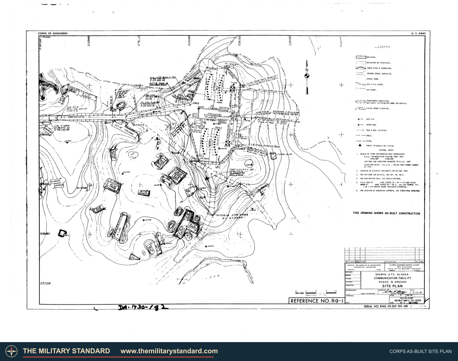
The Corps inventory preserves a Shemya site plan and reflector drawings showing the two antennas and station arrangement. The terminal also required radio electronics, electrical power, fuel, and connections into the base communications network. [2]
The White Alice reflectors were different from Shemya's radar equipment, including the later COBRA DANE phased array. The radio station moved information; it did not itself detect aircraft or missiles. [1] [5]
Operation and Replacement
The Corps describes the Adak and Shemya terminals as operating from the late 1960s. Air Force records from 1977-1978 show communications managers planning additional Shemya trunk capacity and a satellite alternative to the Adak-Shemya troposcatter circuit. The Corps gives November 1, 1978 as Project Bluegrass's deactivation date. [1] [2] [3]
Shemya remained an important military island after White Alice ended. Satellite and other communications systems supported its continuing airfield and radar missions while the immense billboards lost their original purpose. [1] [3]
After White Alice
The Corps' 1994 survey reported removal of both billboards during the 1980s and reuse of the former communications equipment building. Alaska DEC maintains an Old White Alice environmental record for the former station area. [1] [2] [4]
Historical Images
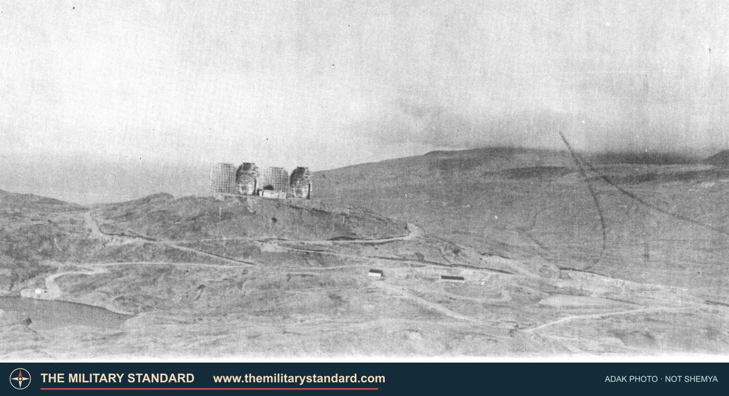
The Corps inventory includes a historic Alaskan Air Command photograph of the Adak White Alice terminal, Shemya's direct neighbor on the same Project Bluegrass path. The photograph below shows Adak's four reflectors, not Shemya's two, and offers a view of the type of large billboard antennas used on this route. [2]
Chronology
- 1960s The Shemya terminal is built as the far-western Project Bluegrass extension.
- 1968 The Corps dates completion of the Adak-Shemya extension to this year.
- 1977-1978 Air Force communications planners prepare satellite replacement for the Adak-Shemya path.
- November 1, 1978 Project Bluegrass White Alice service is deactivated.
- 1980s Shemya's billboard antennas are removed.
- 1994 The Corps records adaptive reuse of the former equipment building.
Information sources (5)
- PDF1. The Cold War in Alaska: A Management Plan for Cultural Resources, U.S. Army Corps of Engineers, 1994
Source for: Project Bluegrass completion and closure, Shemya resource ATU-058, antenna removal, building reuse, and the distinction between communications and other Shemya missions.
- PDF2. Historical Overview and Inventory: White Alice Communication System, U.S. Army Corps of Engineers, 1988
Source for: Shemya-Adak distance, 120-foot reflector pair, Coast Guard connection toward Attu, station equipment, as-built drawings, building reuse, and the comparative Adak photograph.
- PDF3. Special Study of White Alice Communications System Sale, U.S. Air Force, October 1983
Source for: 1977-1978 trunk and satellite-transition planning, and late-1978 station closure reporting.
- WEB4. Eareckson Air Station SS012 Old White Alice, Alaska Department of Environmental Conservation
Source for: former-site environmental record and approximate point location.
- PDF5. Programmatic Approaches to the Management of Cold War Historic Properties, U.S. Department of Defense, 2015
Source for: Shemya White Alice historic-resource identity and its distinction from the island's other defense facilities.