Fort Pulaski, Tybee Island Savannah Georgia
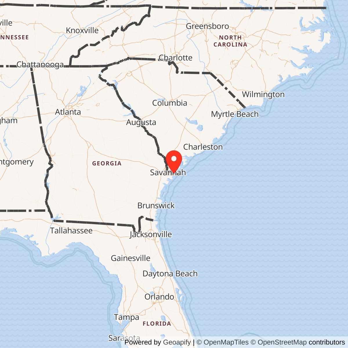
Longitude: -80.892083
Official Base Website: https://www.nps.gov/fopu/
Current Role: Fort Pulaski National Monument; NPS-preserved Third System coastal fort, Civil War battlefield, Cockspur Island cultural landscape, Battery Hambright, Cockspur Island Lighthouse, trails, salt marsh, archeological resources, and public interpretation.
Fort Pulaski was built for a problem that had haunted the United States since the War of 1812: how to keep an enemy fleet from pushing upriver and turning a coastal city into a target. Savannah was Georgia's principal port, and Cockspur Island sat where the Savannah River widened toward the Atlantic. Any hostile ship moving toward the city had to reckon with that ground. The Army's answer was a massive brick Third System fort, raised on marsh, pilings, dikes, and drainage works at the edge of the river and named for Casimir Pulaski, the Polish-born Revolutionary War officer who died after being wounded during the 1779 siege of Savannah.
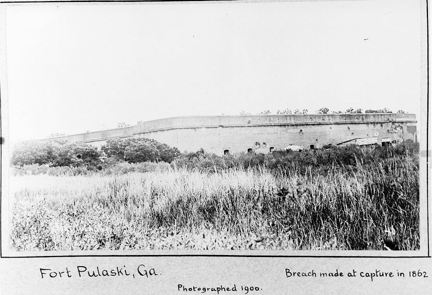
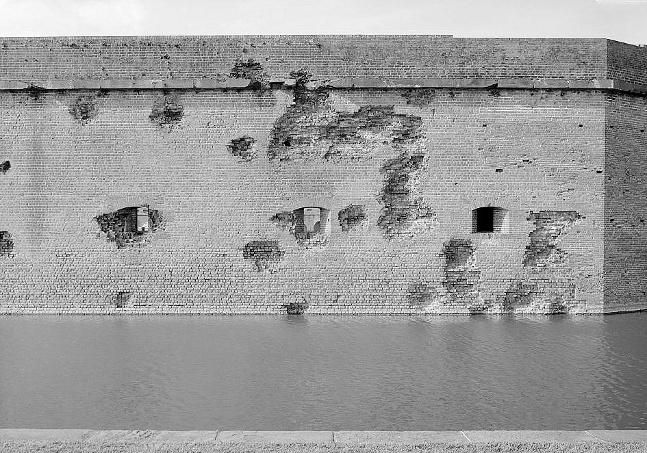
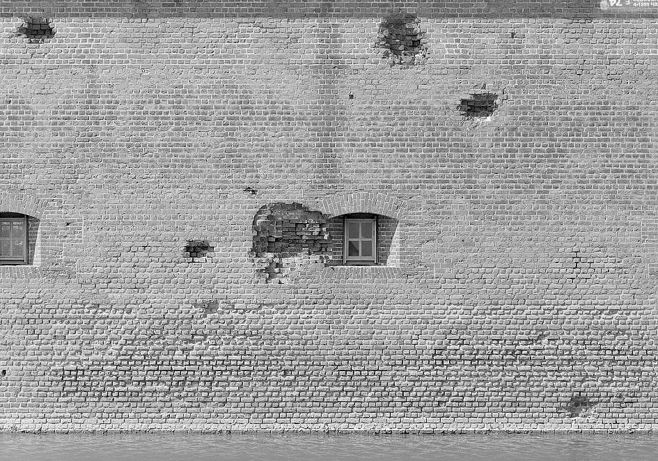
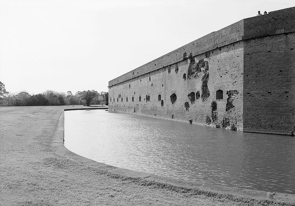
The irony of Fort Pulaski is that it became most famous not because it worked as designed, but because it failed in a way that changed military engineering. Completed in 1847 after eighteen years of construction, the fort represented one of the strongest ideas in American coastal defense: thick masonry walls, a wet moat, heavy cannon, protected casemates, and command over a navigable river channel. In April 1862, Union Army batteries on Tybee Island used rifled artillery to breach those walls in roughly thirty hours, forcing the Confederate garrison to surrender and proving that the old brick-and-stone seacoast fort had entered a new technological age. Fort Pulaski's story is therefore larger than one siege. It is the story of a permanent Army fort built to defend Savannah, briefly seized by Georgia and Confederate forces, recaptured by the United States Army, used as a Civil War garrison and prison, reworked for later harbor-defense systems, abandoned as a military post, preserved by the War Department and National Park Service, and temporarily returned to military use during World War II.
Fort Pulaski is a former U.S. Army / War Department coastal-defense installation. The active Army post was effectively abandoned in 1879, but the federal military reservation remained under War Department jurisdiction and was designated a national monument in 1924. Fort Pulaski transferred from the War Department to the Department of the Interior / National Park Service in 1933, then briefly reverted to military use during World War II as a U.S. Navy Section Base from 1942 to 1947/1948. Today it is administered by the National Park Service as Fort Pulaski National Monument, a 5,623-acre park preserving the fort, Cockspur Island cultural landscape, McQueens Island salt marsh, Cockspur Island Lighthouse, Battery Hambright, construction-village archeological remains, and related historic resources.
Site Design and Facilities
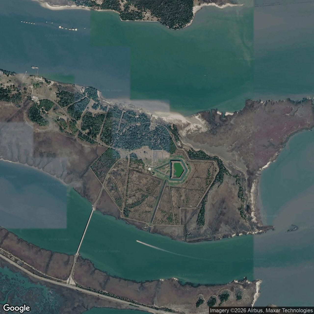
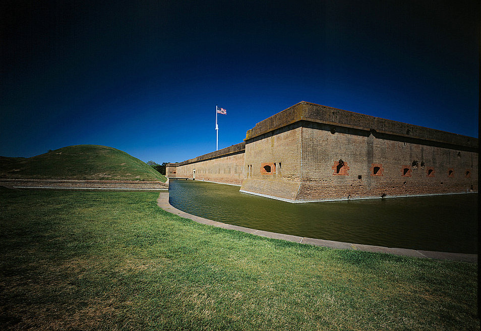
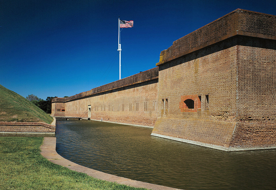
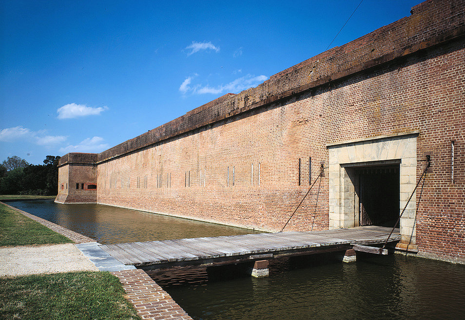
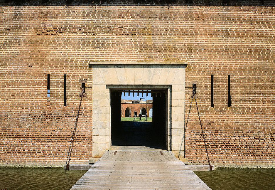
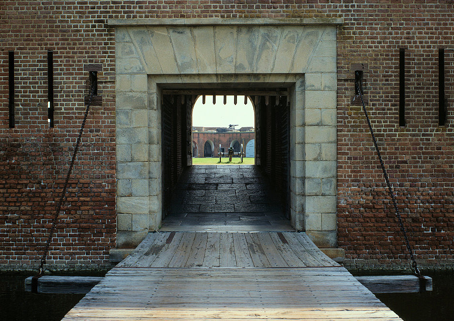
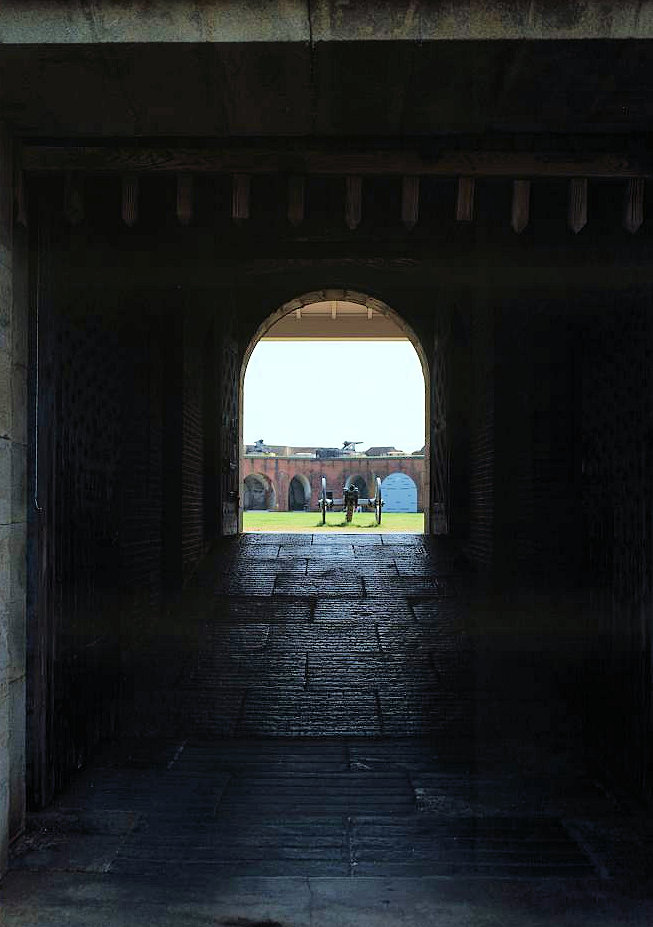
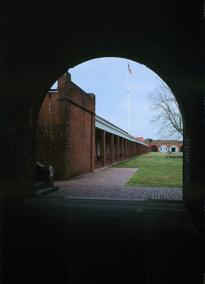
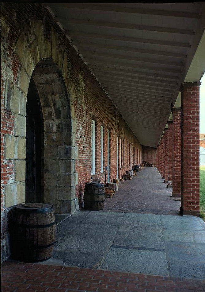
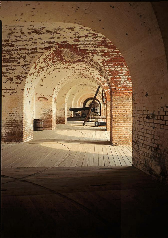
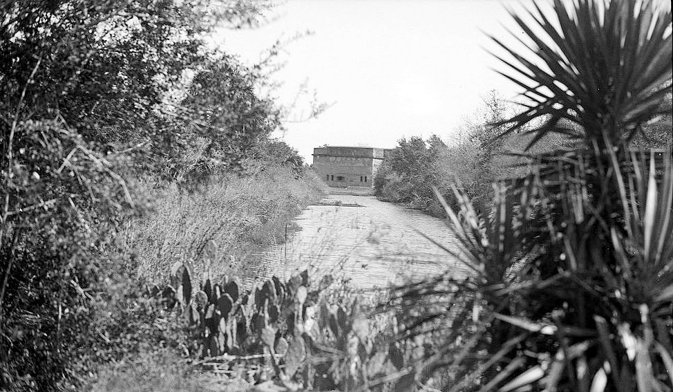
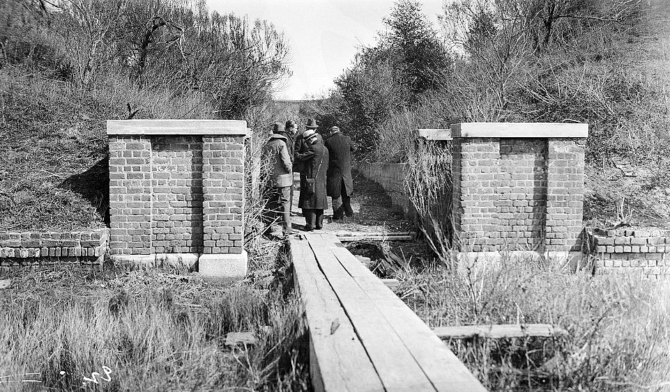
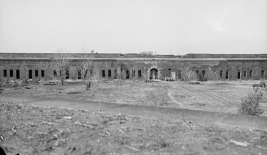
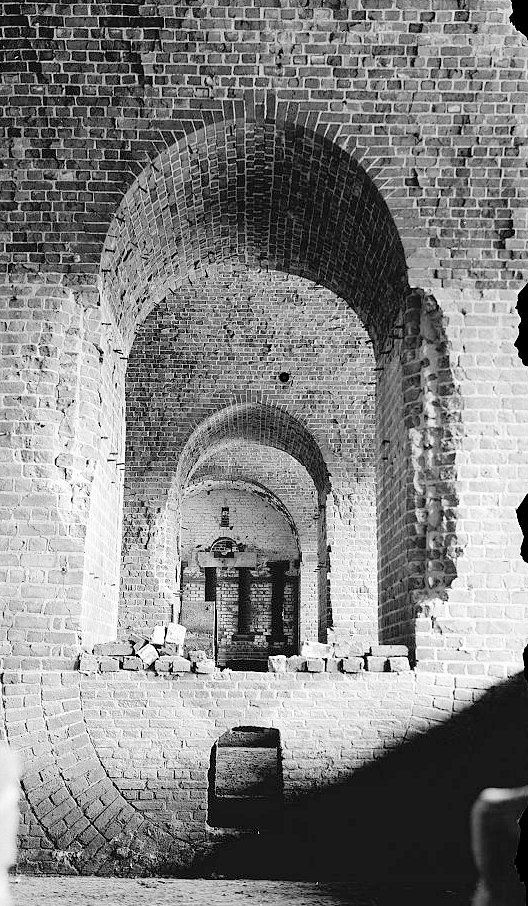
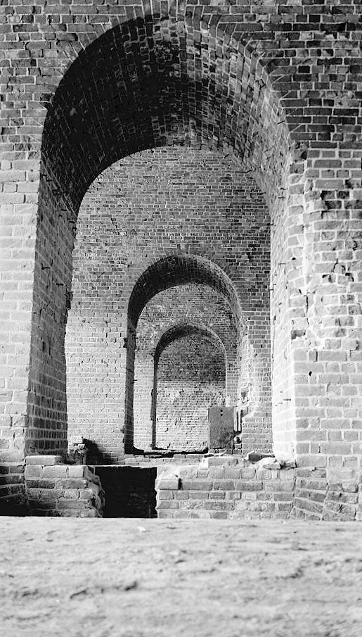
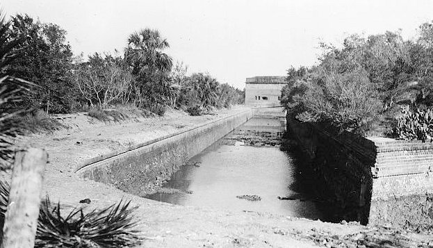
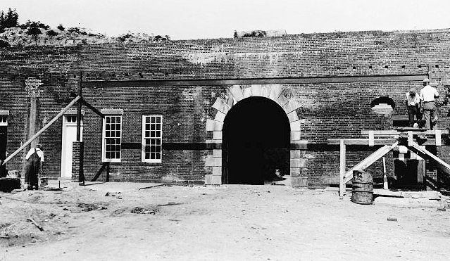
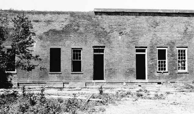
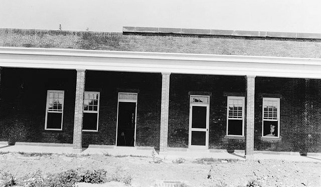
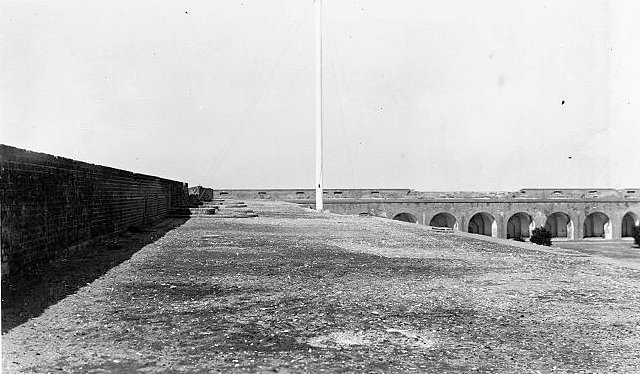
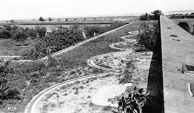
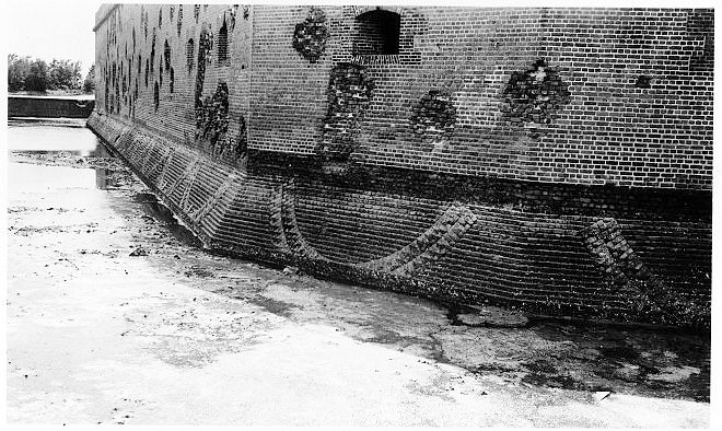
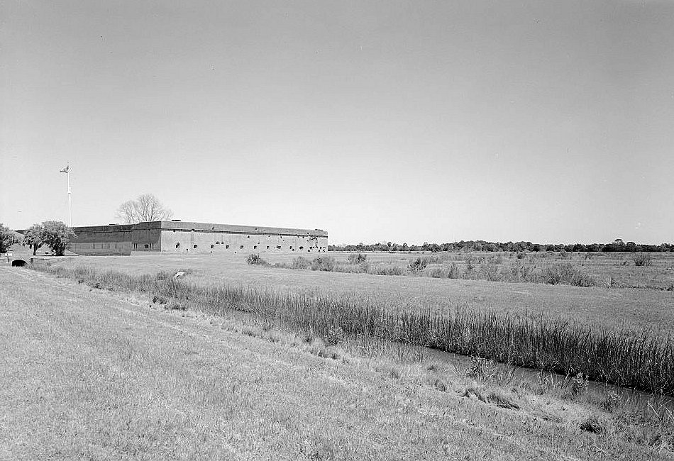
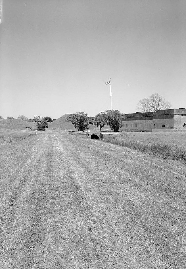
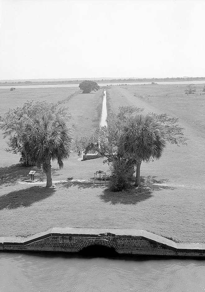
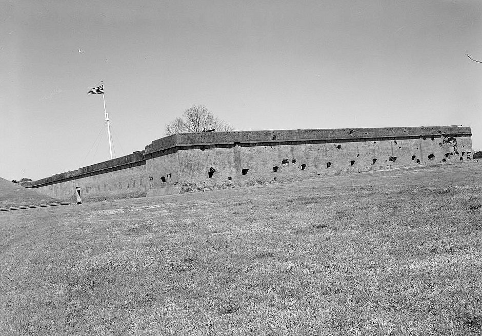
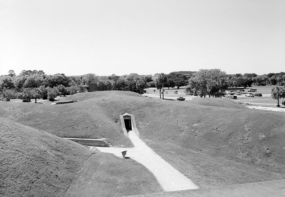
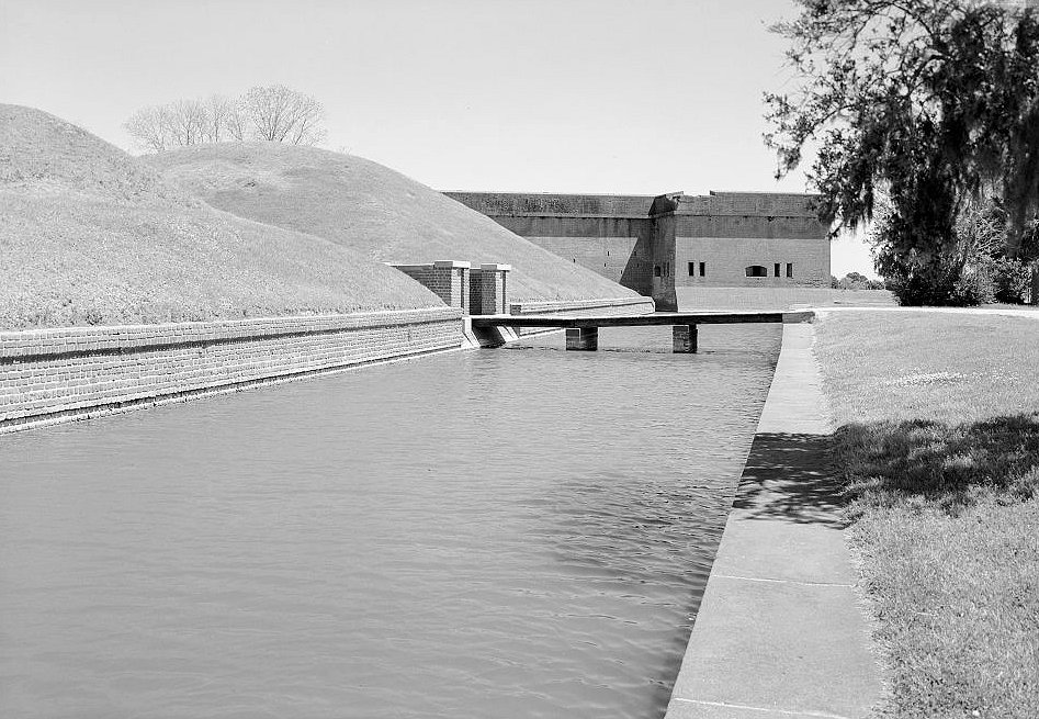
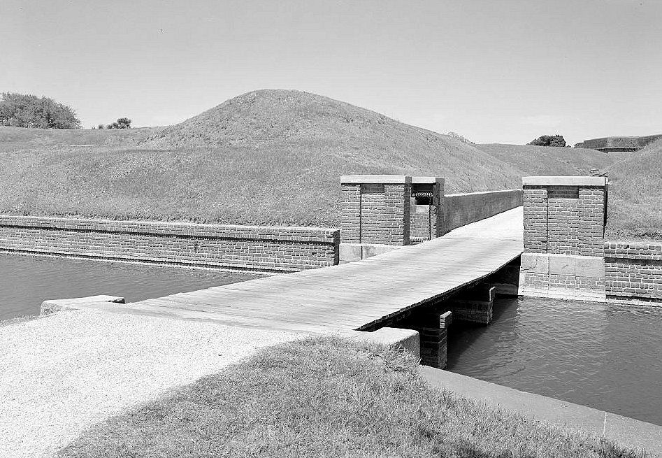
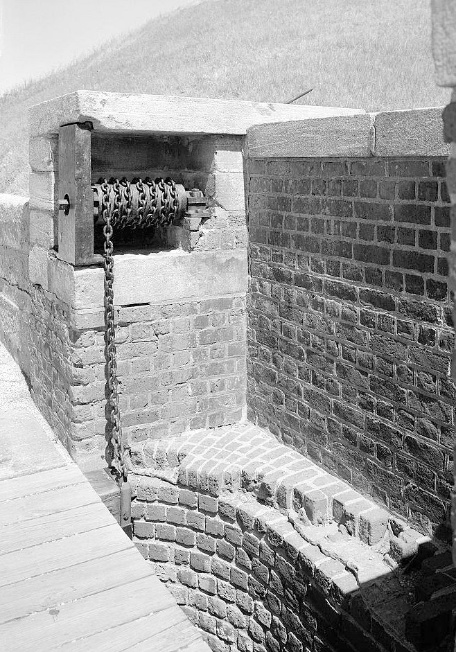
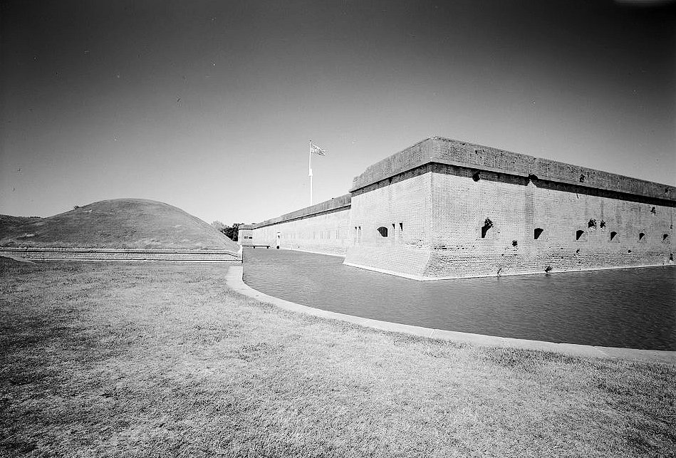
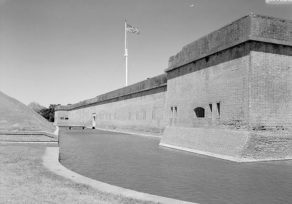
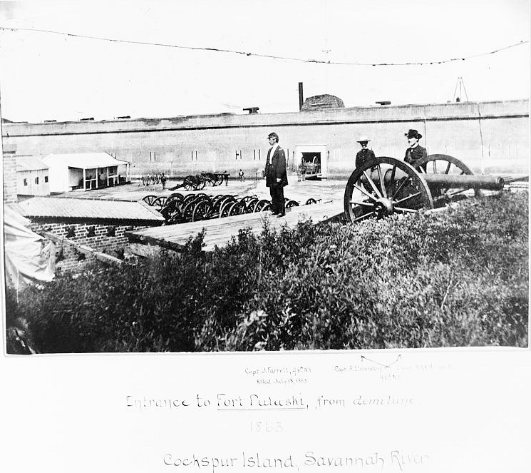
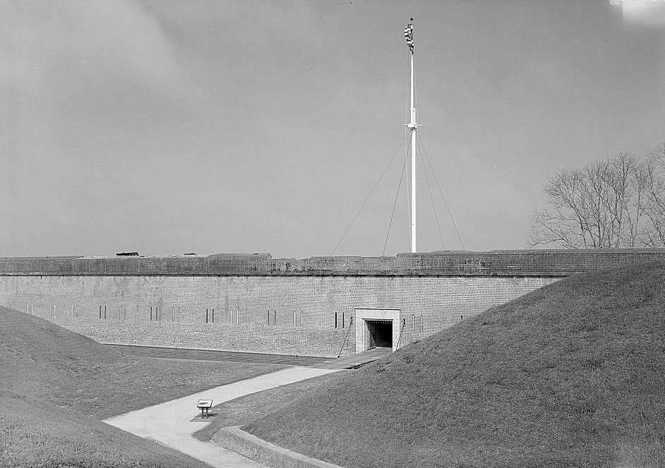
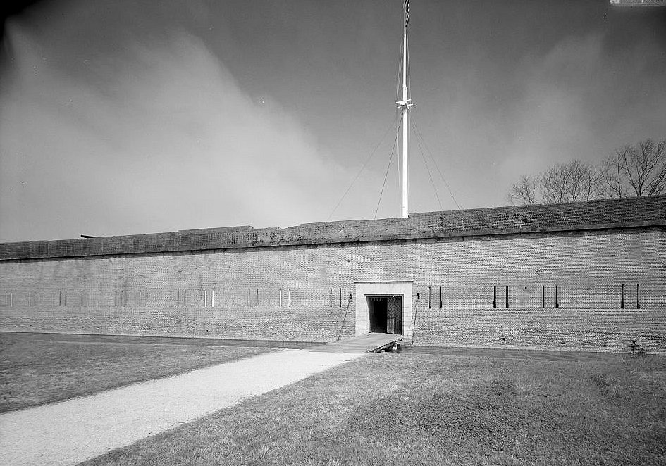
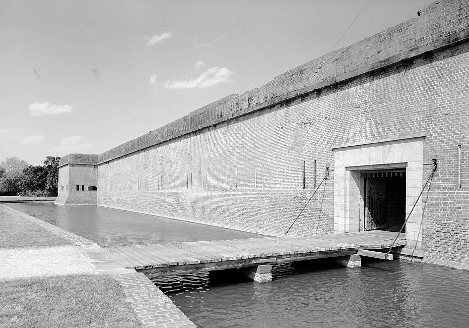
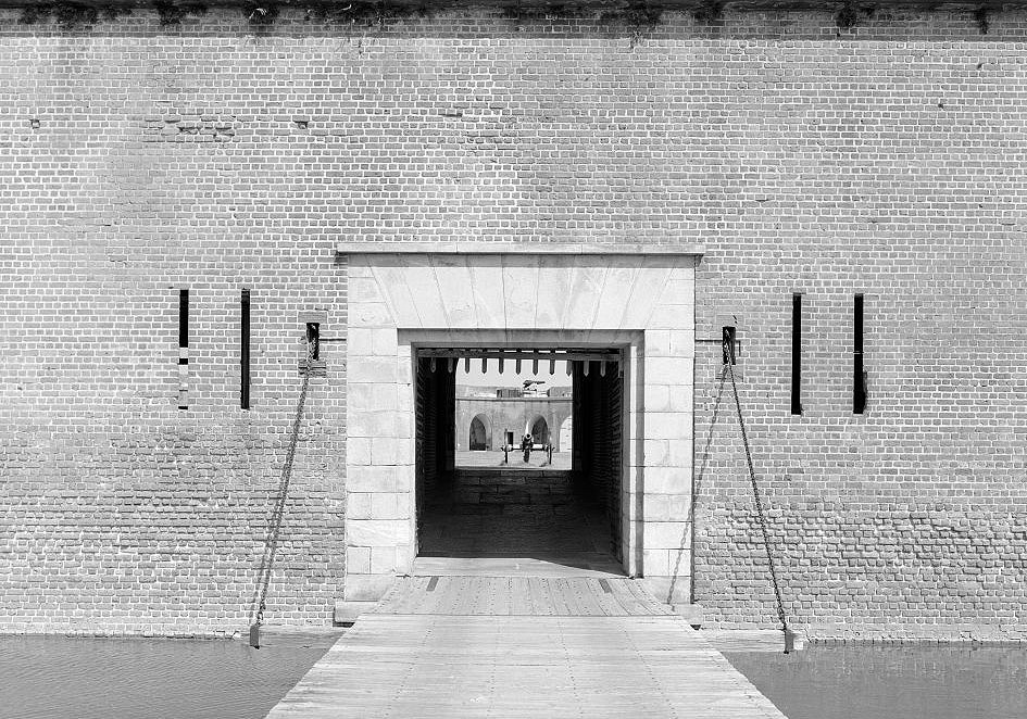
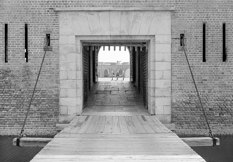
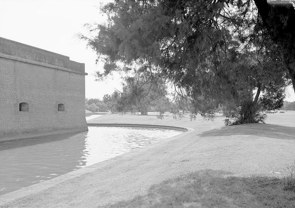
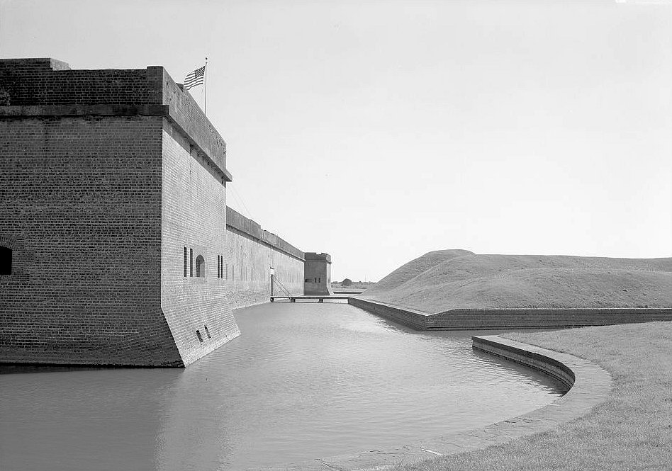
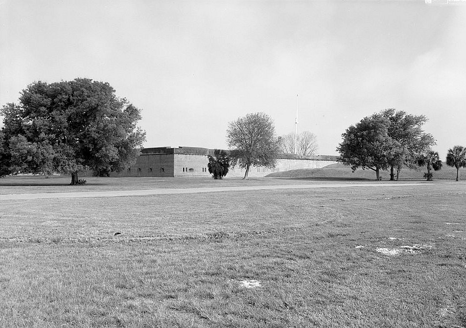
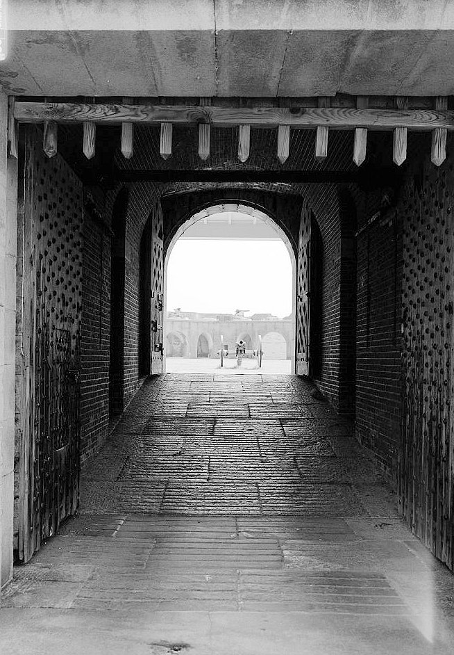
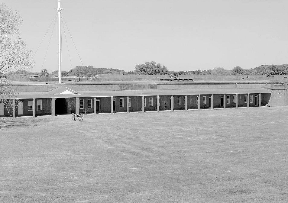
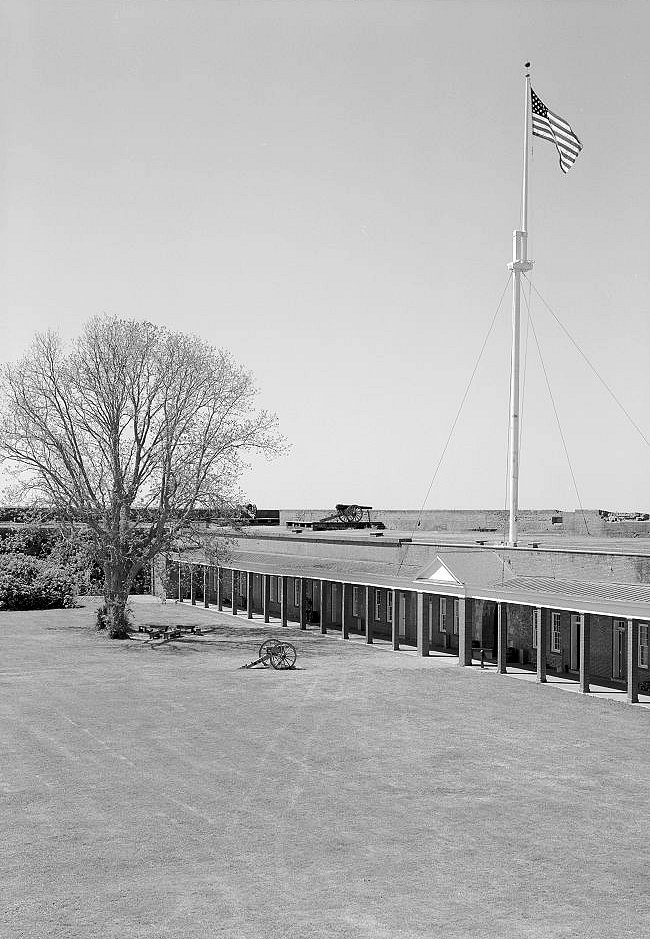
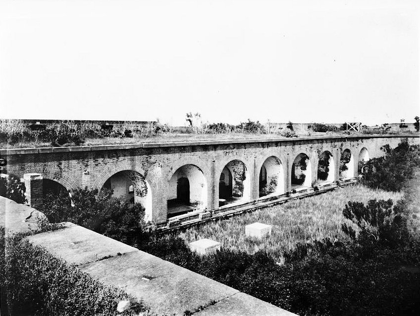
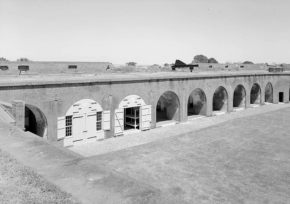
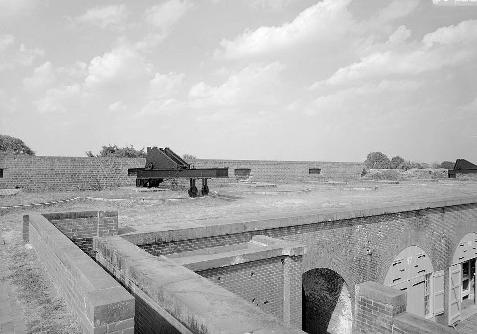
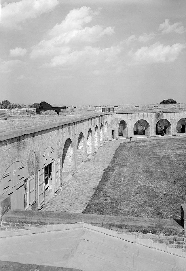
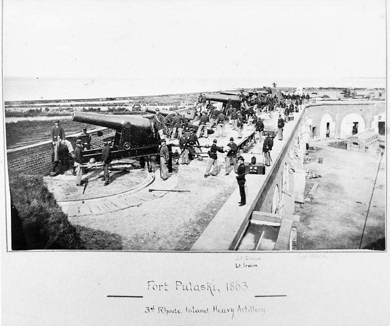
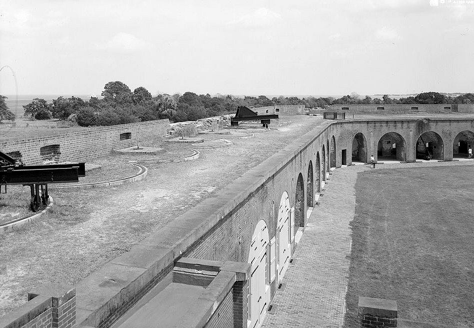
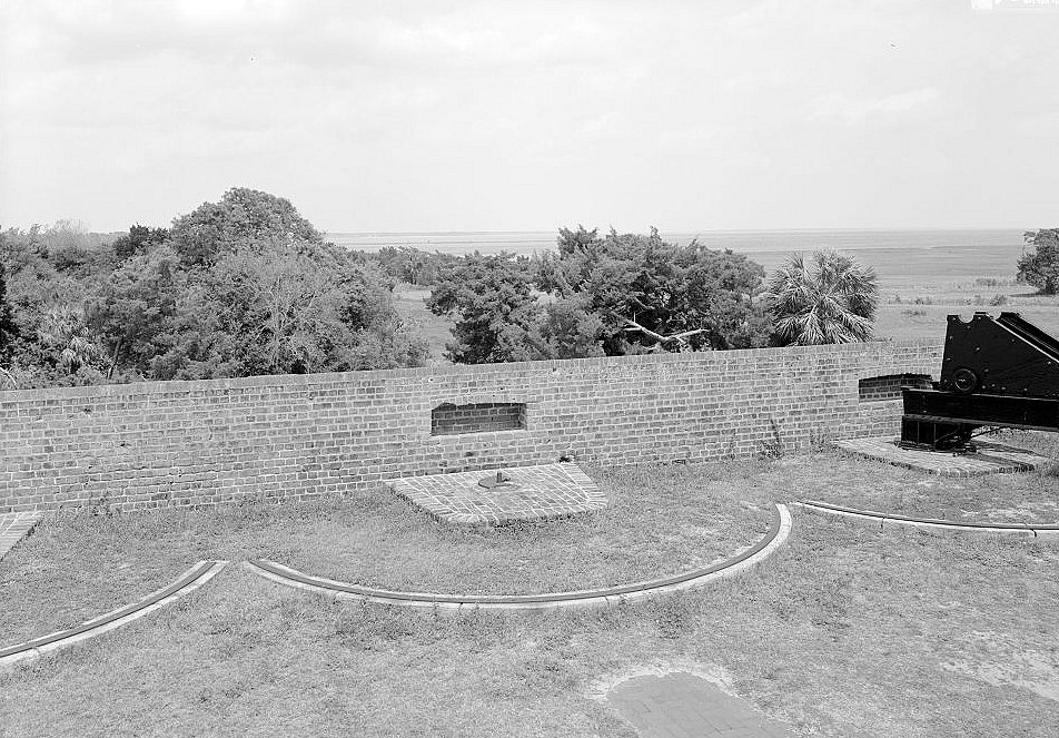
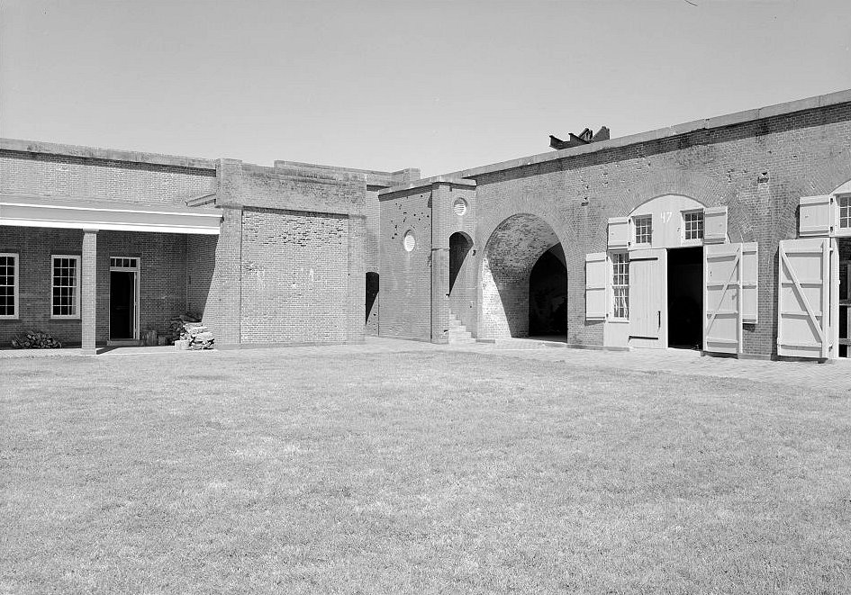
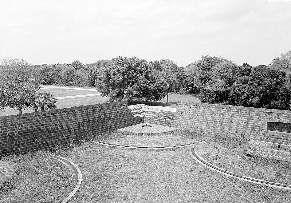
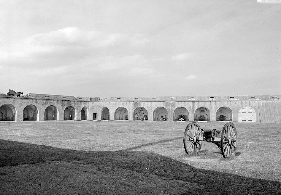
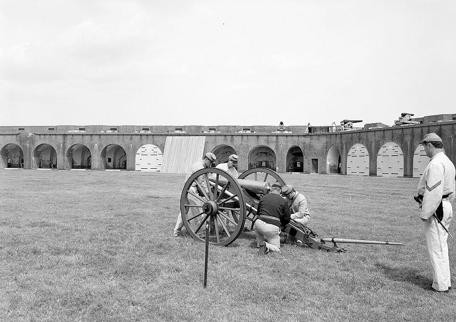
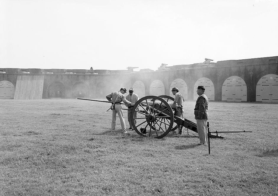
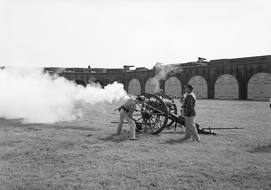
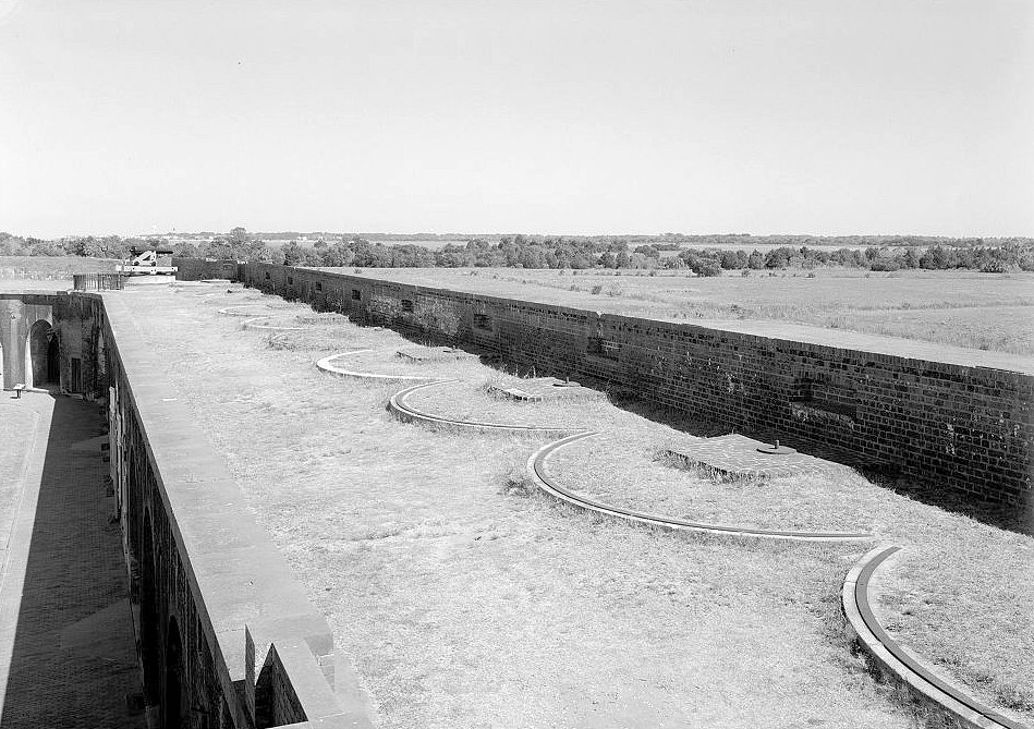
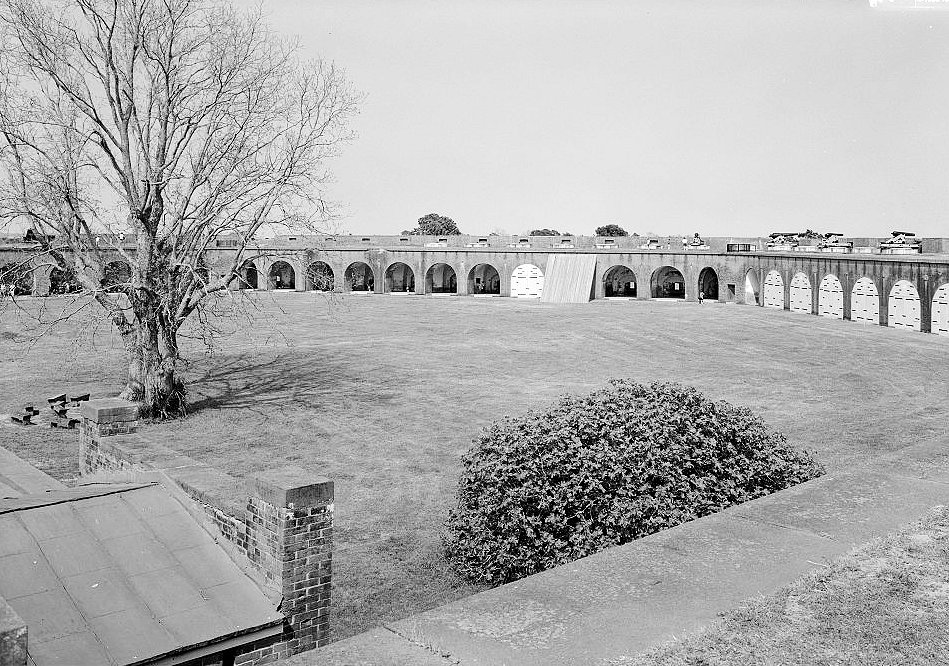
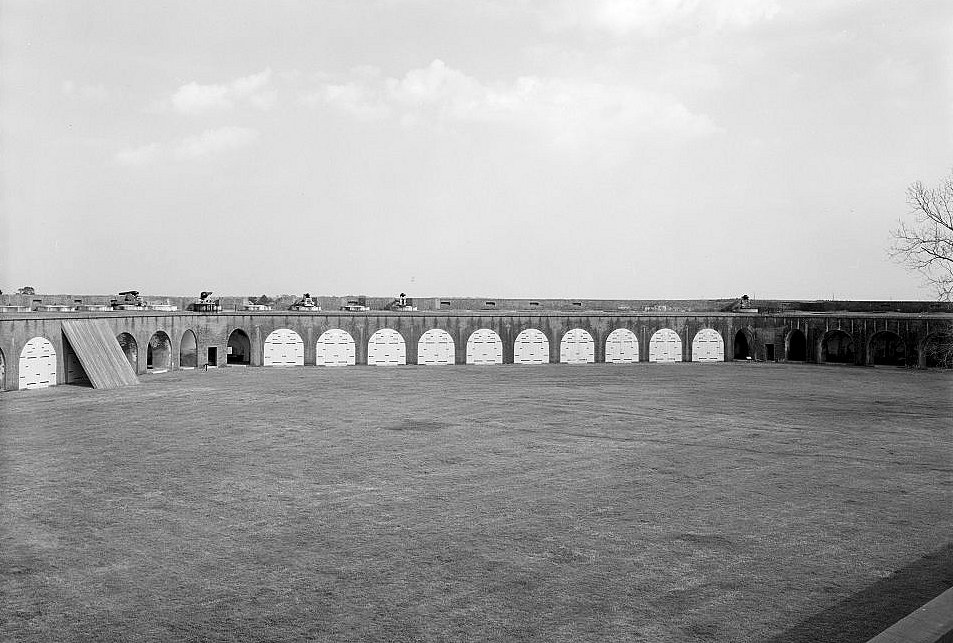
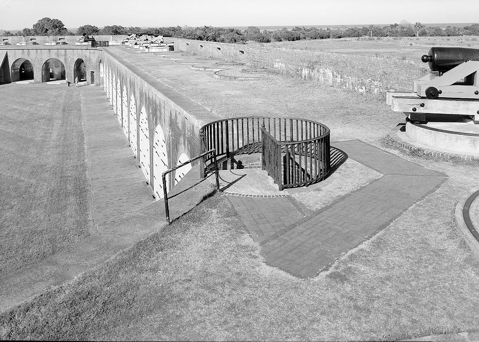
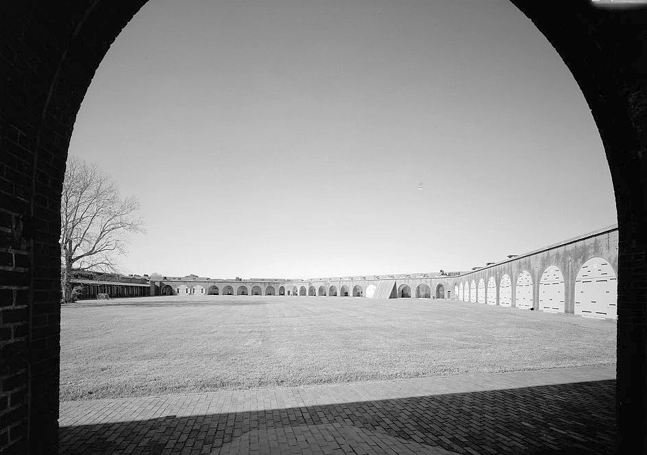
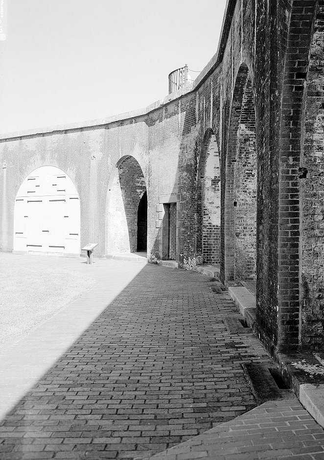
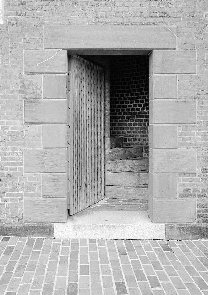
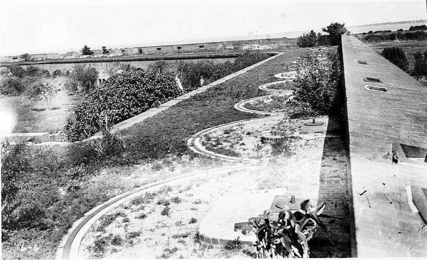
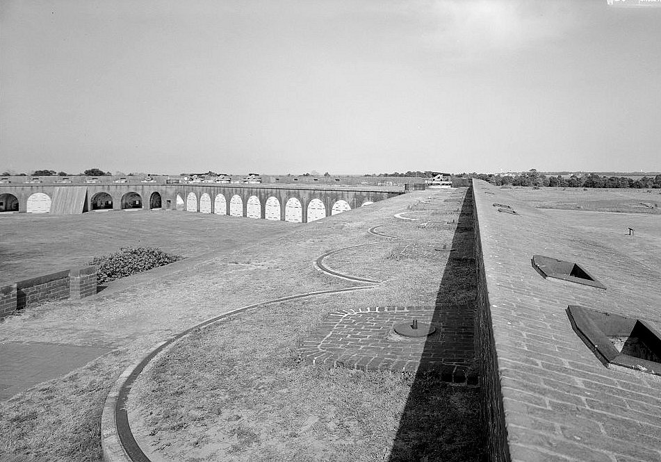
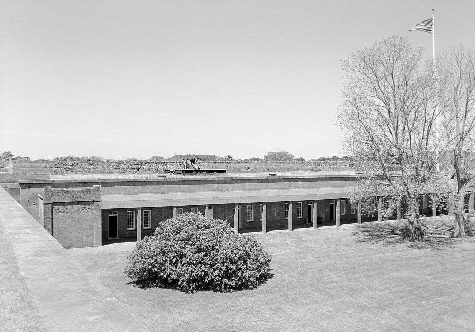
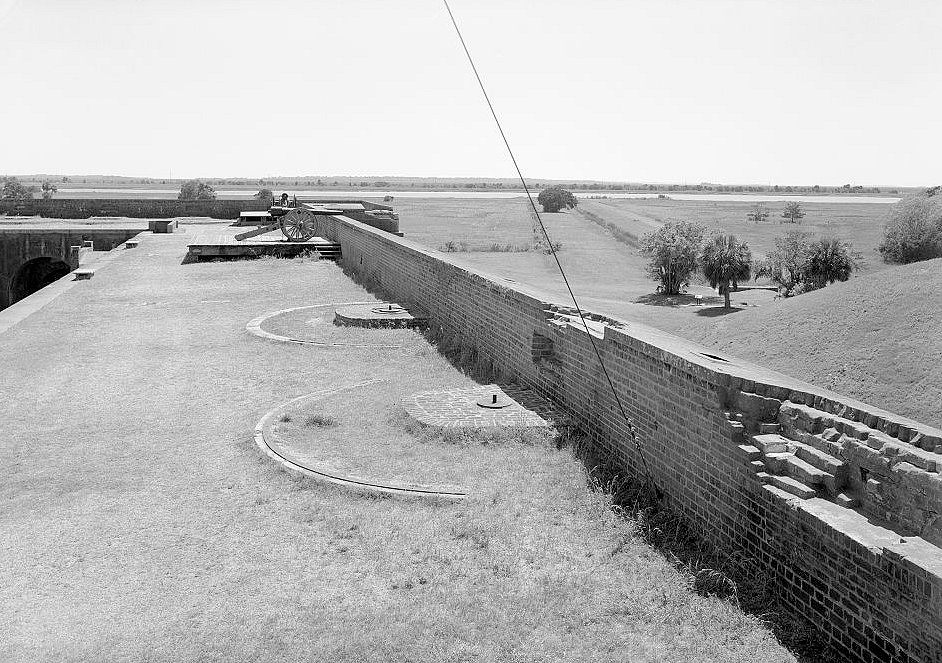
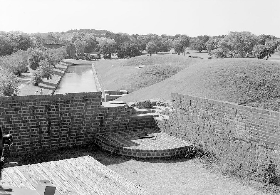
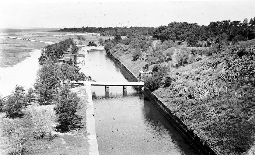
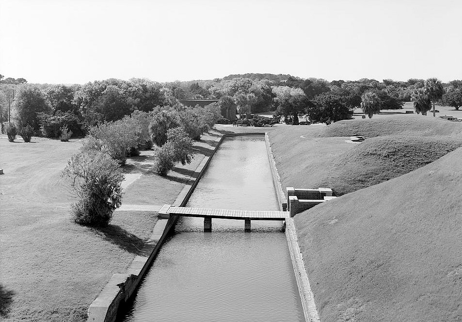
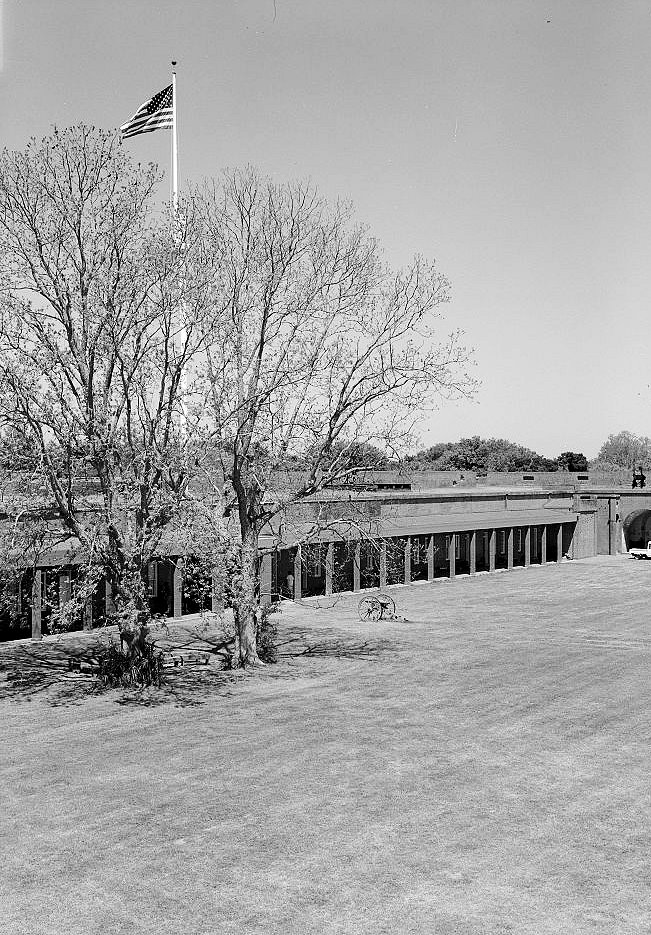
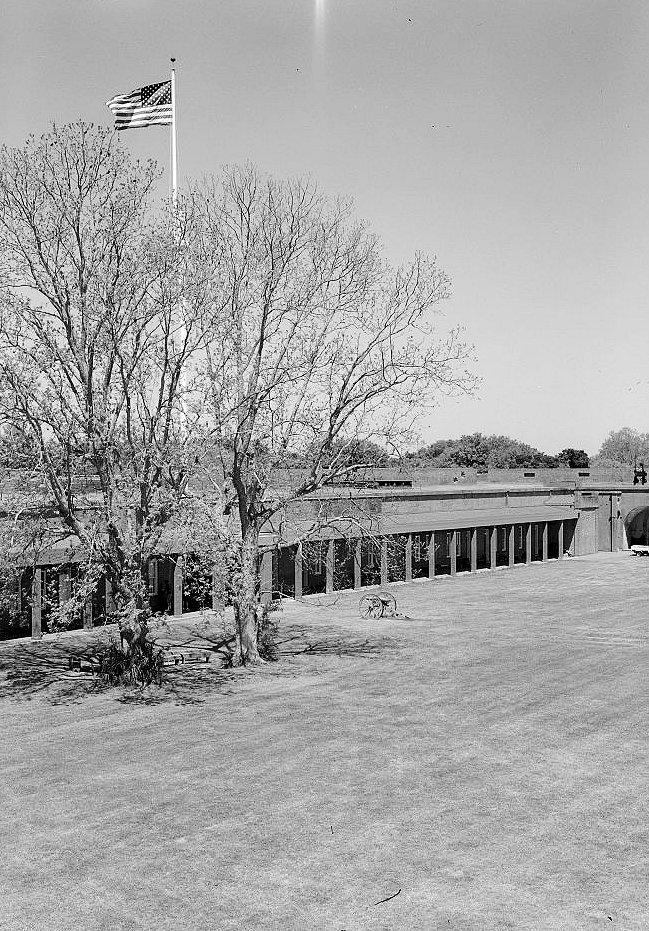
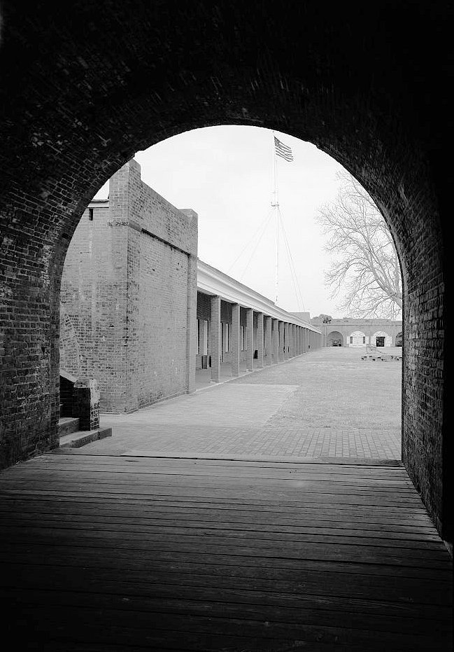
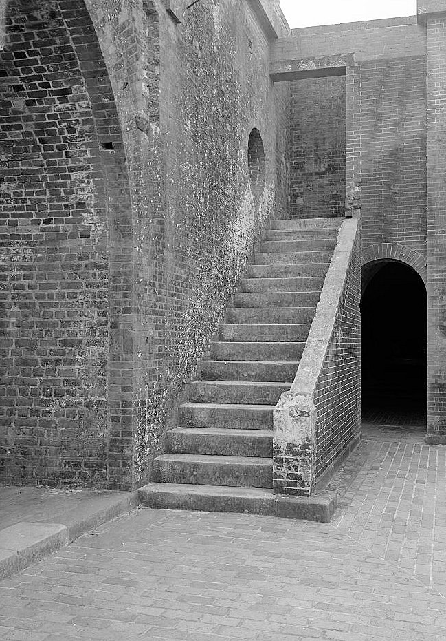
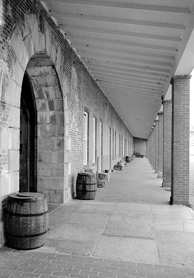
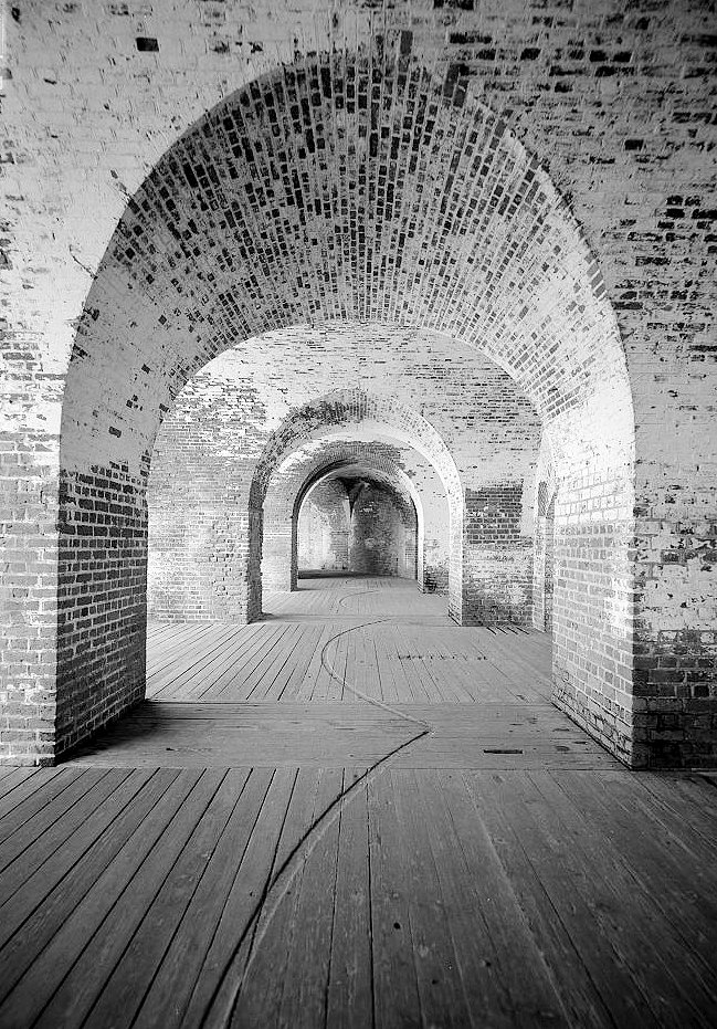
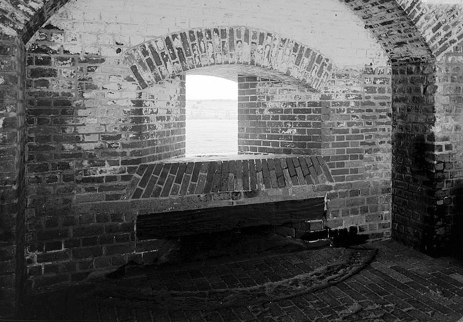
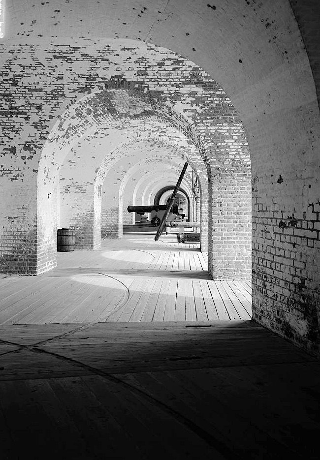
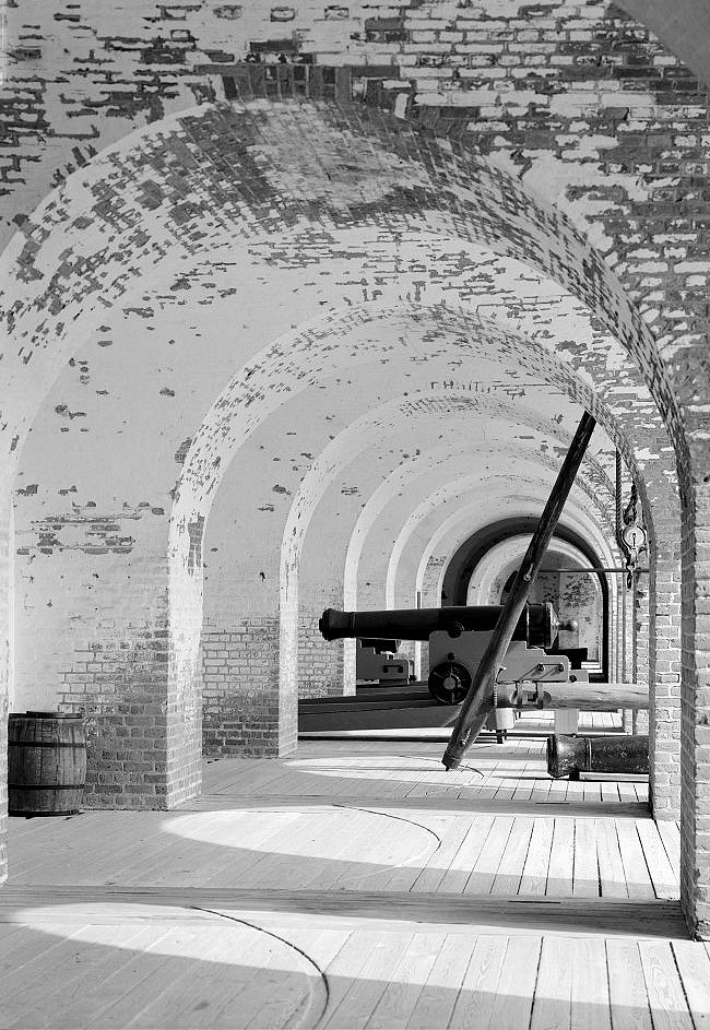
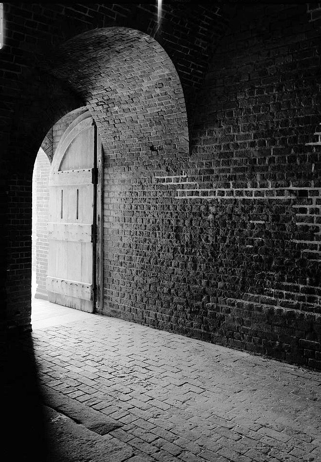
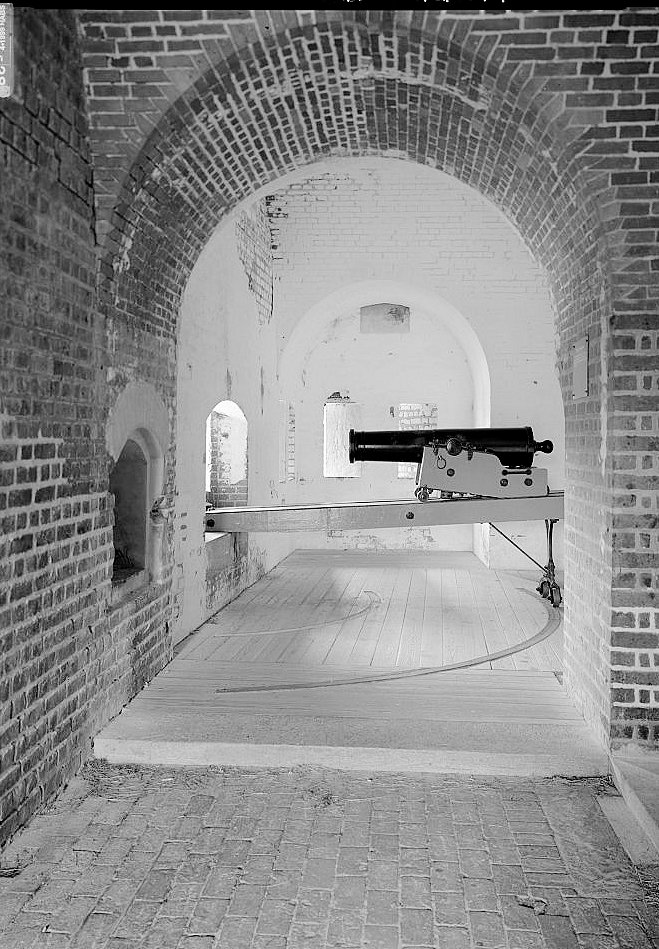
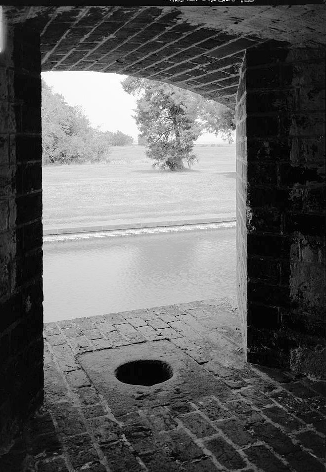
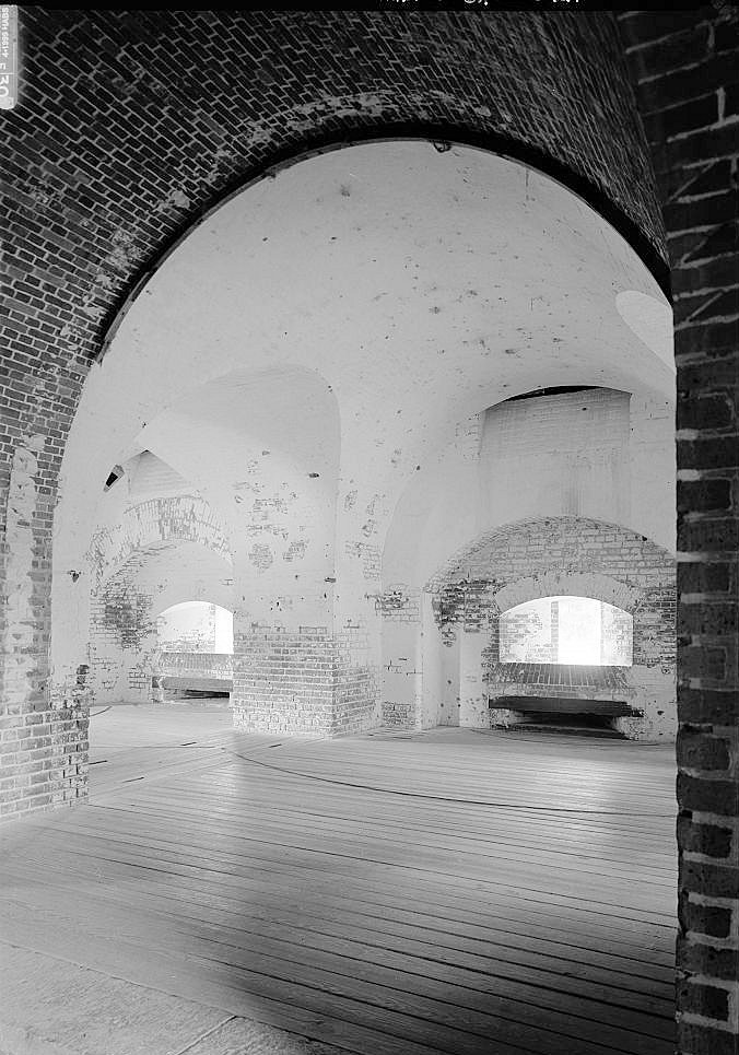
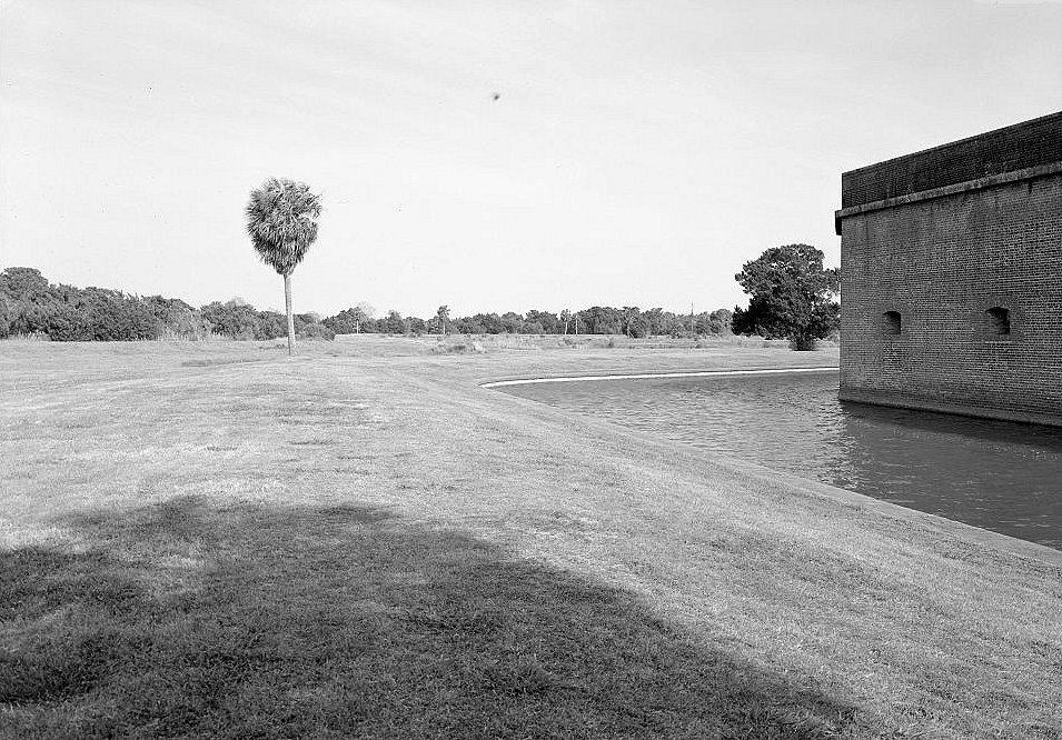
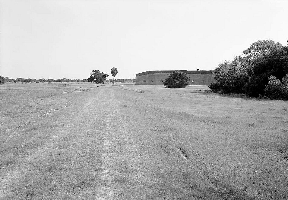
Fort Pulaski belonged to the Third System of U.S. coastal fortifications, the program of substantial masonry works built after the War of 1812 to guard major American harbors. Its basic military logic was straightforward: if heavy guns could command the mouth of the Savannah River, hostile ships could be stopped or deterred before reaching the city. The fort was laid out as a five-sided masonry work with thick brick walls, casemates for guns and shelter, a parade ground, terreplein gun positions, magazines, barracks rooms, officers' spaces, a wet moat, a demilune in front of the main entrance, and surrounding dikes and drainage works.
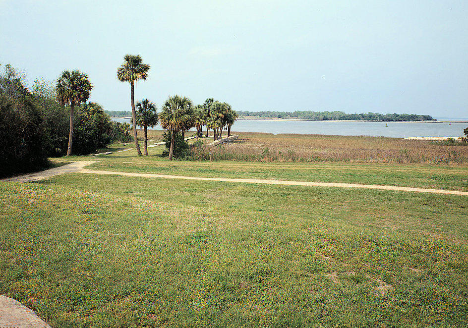
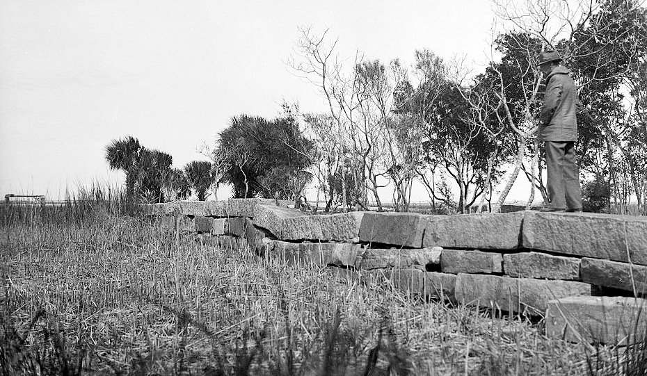
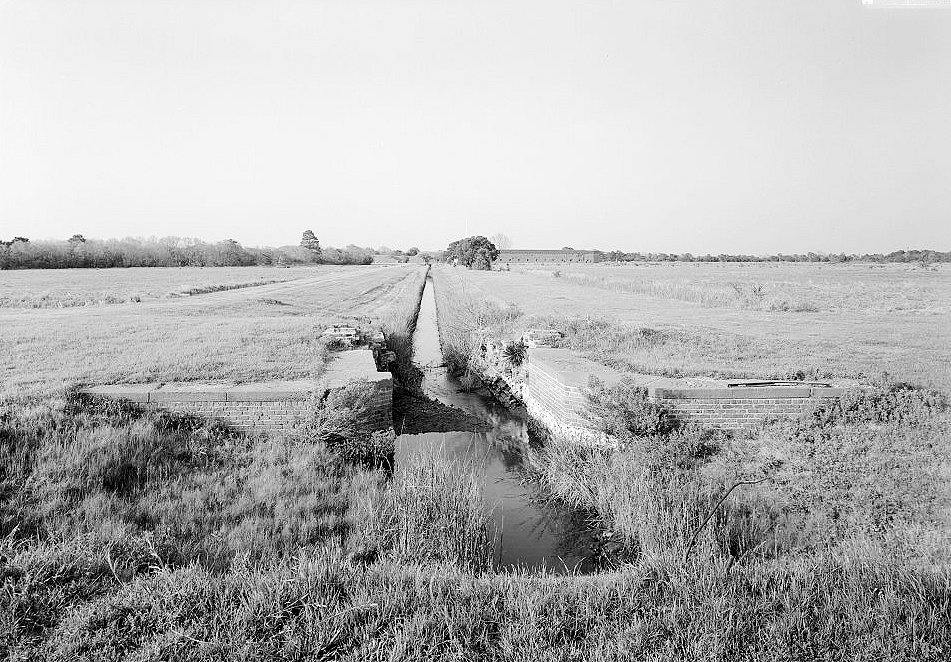
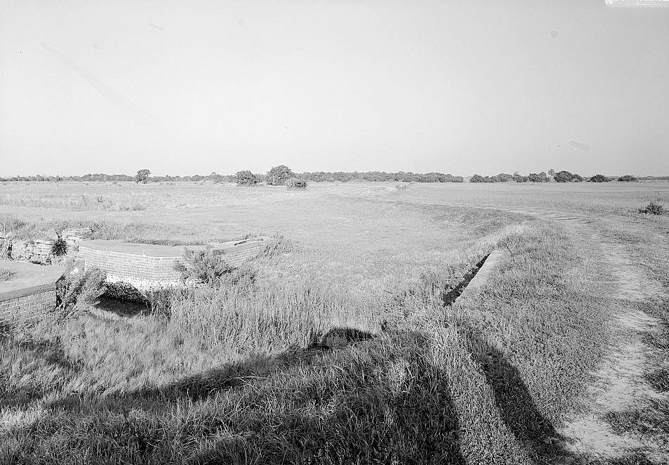
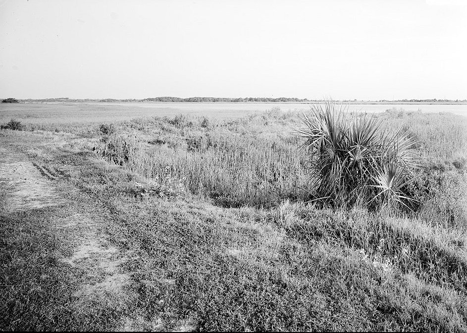
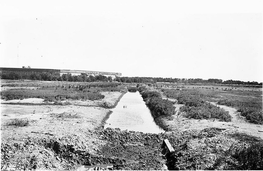
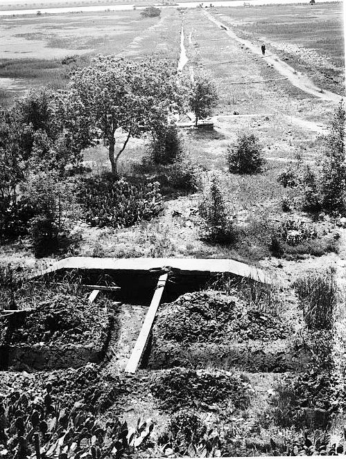
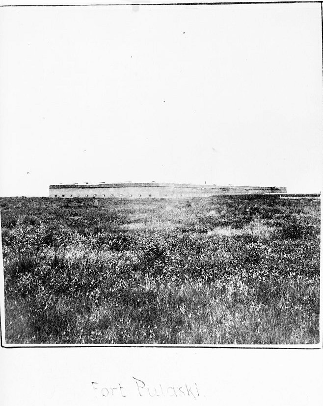
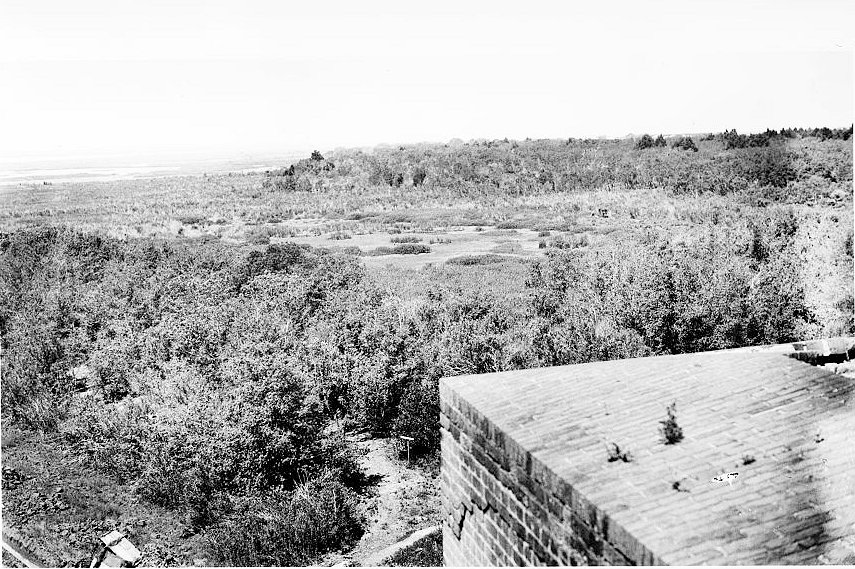
The engineering challenge was the ground itself. Cockspur Island was marshy, low, wet, and unstable. The fort's builders had to drive deep timber pilings, shape drainage ditches, construct dikes, manage tides and water, and create a buildable platform for millions of bricks. The landscape around the fort was therefore part of the fortification. Without the dike, ditch, drainage, wharf, and canal systems, the masonry work could not have been built or maintained. Robert E. Lee, then a young Army engineer, helped with early site and drainage work from 1829 to 1831. Joseph K. Mansfield later supervised much of the long construction period.
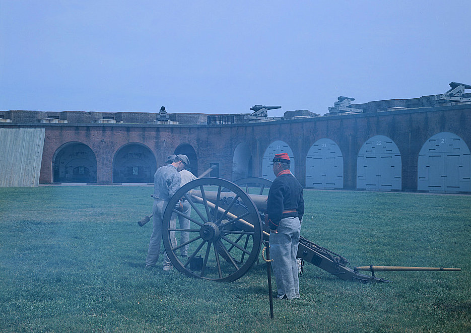
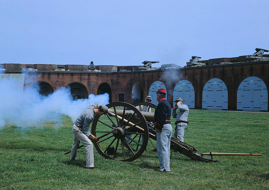
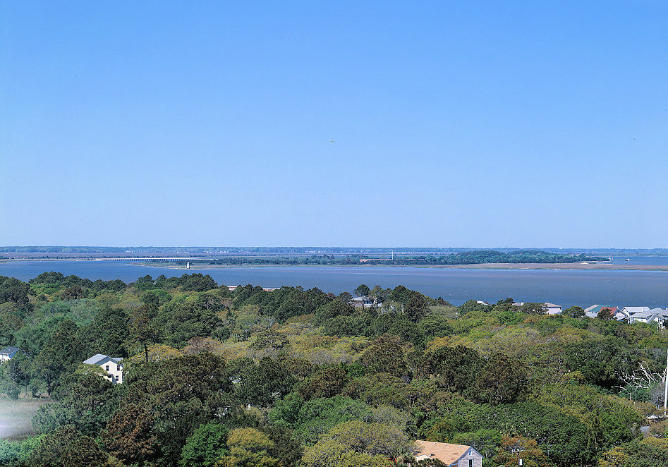
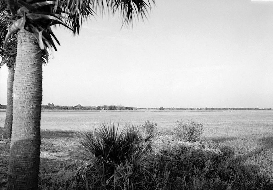
When completed in 1847, Fort Pulaski was designed to mount a very large armament. Contemporary and later summaries often describe a capacity of 146 guns, including weapons on the parapet and in casemates. The fort was never fully armed at that scale before the Civil War. Its strength rested less in the exact number of guns actually mounted at any given time than in the strategic assumption behind the work: smoothbore artillery could not breach heavy brick walls from the nearest dry ground. Tybee Island lay across the water, far enough away that engineers and commanders believed land-based bombardment could annoy Fort Pulaski but not reduce it.
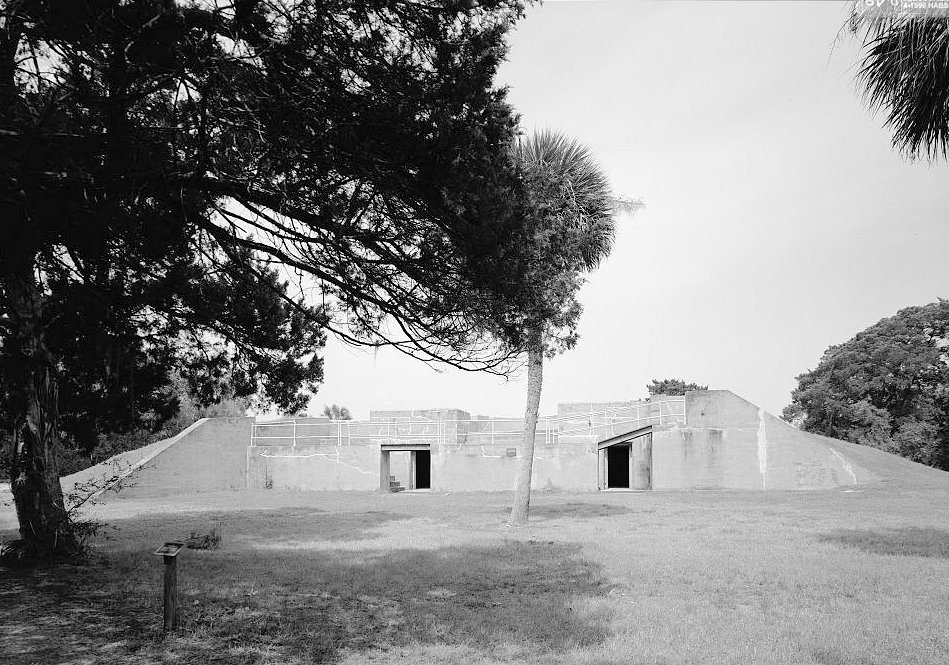
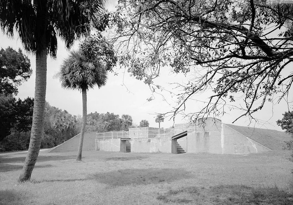
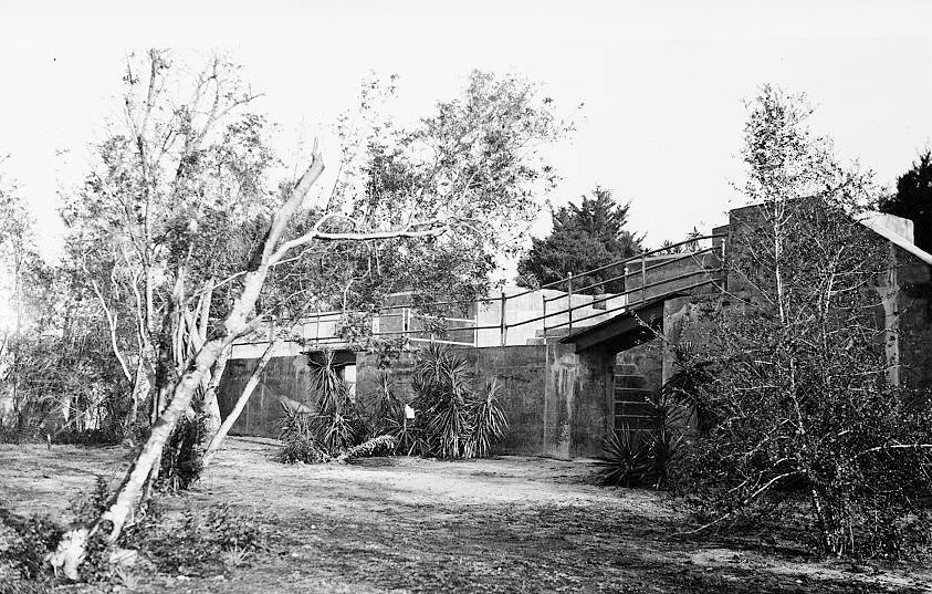
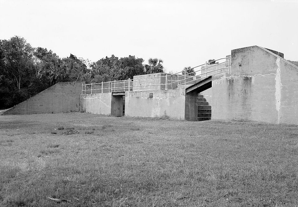
The broader Cockspur Island military landscape continued to evolve after the Civil War. From 1869 to 1872 the Army modified the demilune with powder magazines and enlarged some gun positions, though the work was never completed as a full modernization program. During the Spanish-American War era, Fort Pulaski gained a new role in the emerging Endicott-era harbor-defense system. Battery Horace Hambright was built on the island's north shore in 1898-1899, and Fort Pulaski was used as a control center and storage point for underwater mines designed to defend the Savannah River's North Channel. In that period the real defensive center of gravity was shifting to newer concrete-and-steel batteries such as Fort Screven on Tybee Island, but Cockspur Island still had military value because of its location at the river mouth.
Mission and Military Role
Fort Pulaski's original mission was harbor defense. It was meant to close the water approach to Savannah, protect the port from foreign naval attack, and fit into a national chain of Third System forts guarding American seaports. In peacetime, it was also a symbol of federal authority at the mouth of the Savannah River. The fort's guns, walls, magazines, and garrison were supposed to communicate that Savannah could not be taken cheaply from the sea.
During the Civil War, the fort's mission changed rapidly. Georgia state troops seized Fort Pulaski in January 1861 shortly before the state seceded from the Union, and the fort was then turned over to Confederate authority. The Confederate garrison, commanded by Colonel Charles H. Olmstead by late 1861, improved the neglected work, cleared its moat, mounted guns, strengthened living areas against shellfire, and prepared to resist a Union approach from Tybee Island and the surrounding waterways. For the Confederacy, Fort Pulaski was the outer gate of Savannah. For the United States, reducing the fort would strengthen the naval blockade, close Savannah as a useful Confederate port, and demonstrate federal power along the Georgia coast.
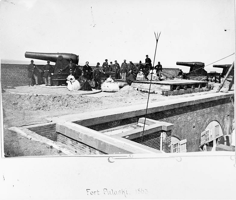
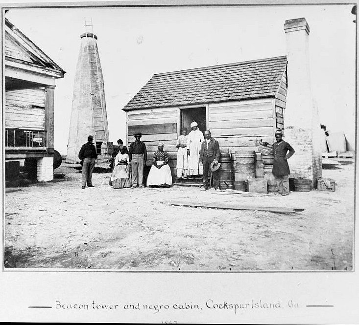
After the United States recaptured Fort Pulaski in April 1862, the installation became a Union Army garrison, blockade-control point, repair site, prison, and freedom-seeker refuge. U.S. troops repaired the breach in the southeast angle, occupied the fort, controlled shipping in and out of Savannah, and held Confederate prisoners. Fort Pulaski also became linked to emancipation. Major General David Hunter's General Orders No. 7, issued at Fort Pulaski on April 13, 1862, declared free the enslaved people held by enemies of the United States at Fort Pulaski and on Cockspur Island. Although President Lincoln later rescinded Hunter's broader General Orders No. 11, Fort Pulaski still became one of the places where enslaved people sought freedom behind Union lines.
Construction and Early Army Service
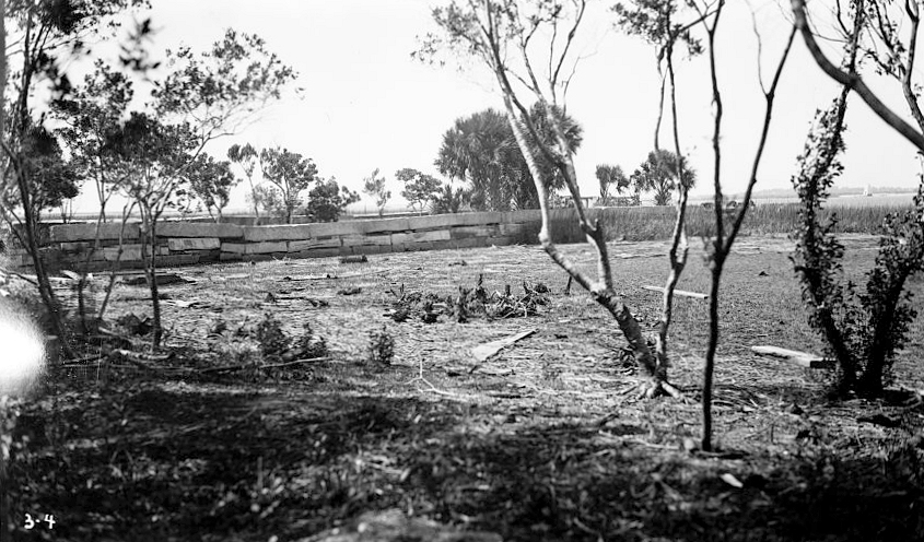
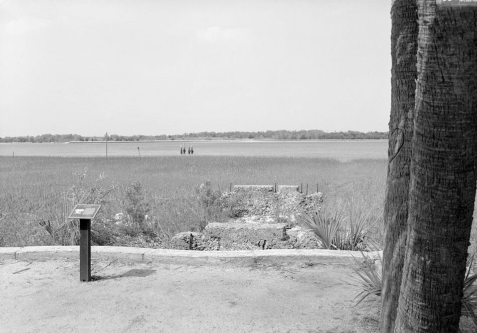
Construction began in 1829, part of the post-War of 1812 effort to harden American seaports. The fort was designed within a national coastal-defense program associated with engineers such as Simon Bernard and the U.S. Army Corps of Engineers. Early work depended on young Army engineer officers, civilian workers, enslaved labor and hired labor systems, contractors, wharves, work camps, and a construction village that supported the long building campaign. The workers who created the fort lived in a difficult island environment of heat, insects, dampness, disease risk, and physical labor.
The fort was completed in 1847. Yet like many large masonry forts, it entered service in an awkward gap between design ambition and practical use. It had been built to defend Savannah from foreign naval attack, but no foreign fleet attacked. It required maintenance, armament, and a garrison, yet federal funding and military priorities shifted. By 1861, when Georgia troops occupied it, the fort was not in ideal condition. The moat had filled with mud, the work was under-armed, and the Confederates had to rush to make it defensible.
That early underuse is important. Fort Pulaski was not a bustling permanent post during the 1850s in the way some frontier posts were. It was a strategic insurance policy: expensive, massive, visible, and powerful in theory, but tested only when civil war transformed an anti-foreign coastal defense into a prize contested by Americans.
Civil War: Seizure, Siege, and Surrender
Georgia troops occupied Fort Pulaski in January 1861. After Georgia seceded, Confederate forces held the fort as part of Savannah's outer defense. Colonel Charles H. Olmstead's garrison improved the position, mounted guns, and prepared for attack. Robert E. Lee, now a Confederate general responsible for coastal defenses in the region, visited Fort Pulaski in November 1861 and directed strengthening measures. Lee believed that Union guns on Tybee Island could make the fort uncomfortable but could not breach it from that range. That assumption was consistent with older smoothbore artillery doctrine. It was also the assumption that rifled artillery would destroy.
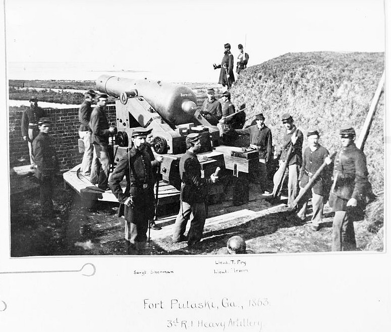
Union forces occupied Tybee Island after Confederate forces withdrew from it, leaving the only practical land platform for reducing Fort Pulaski in Union hands. Brigadier General Thomas W. Sherman directed the siege effort, while Captain Quincy A. Gillmore of the Corps of Engineers became the key technical officer responsible for preparing the batteries. Union troops worked at night, concealed their work, and dragged heavy guns and mortars through marsh and sand into position along Tybee's north shore. By April 1862 they had built eleven batteries with a mix of mortars, columbiads, Parrott rifles, and James rifles.
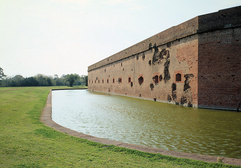
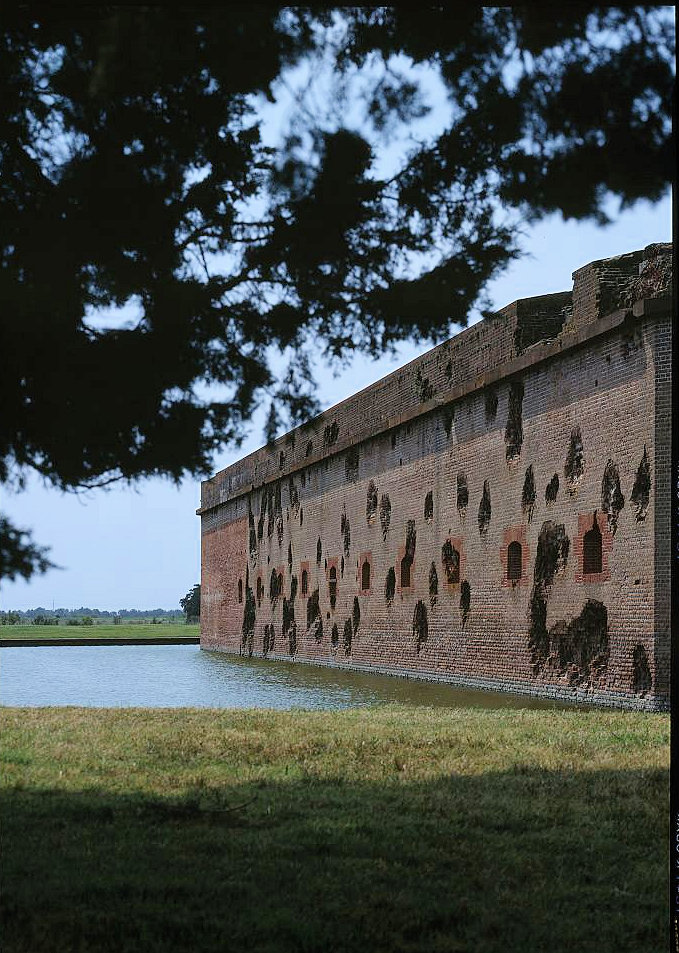
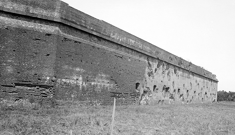
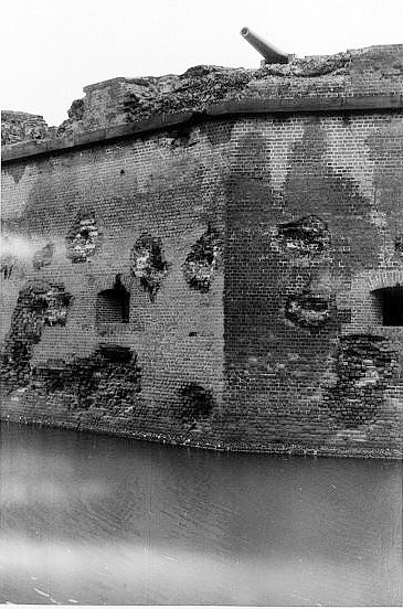
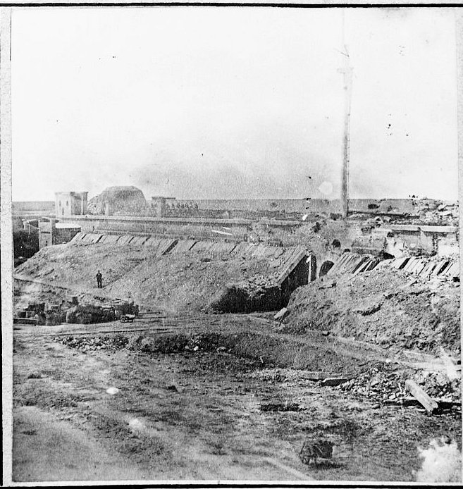
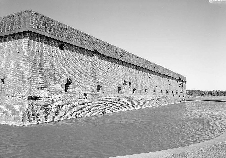
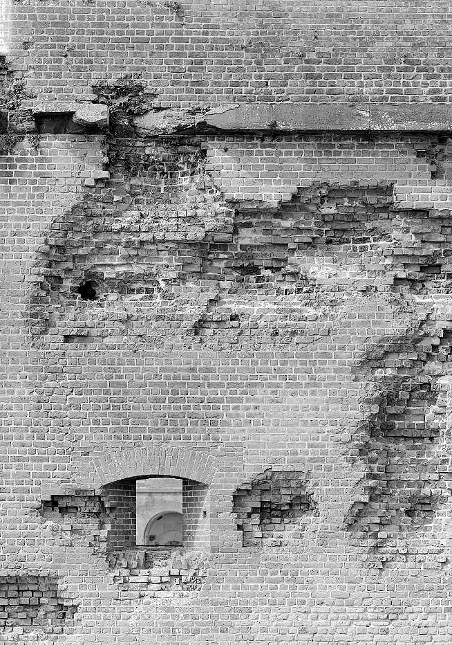
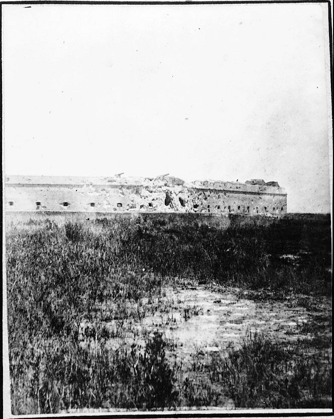
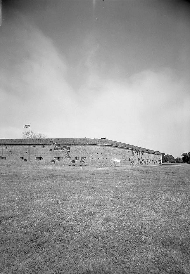
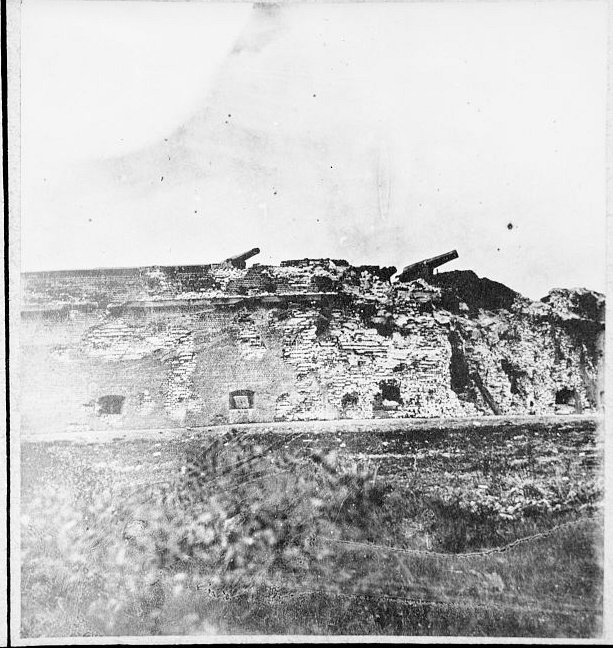
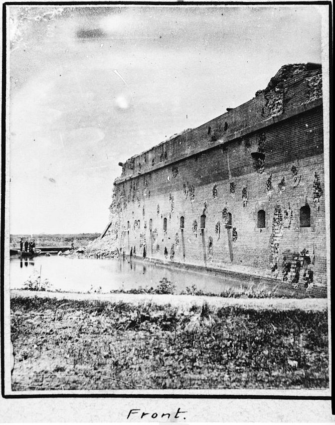
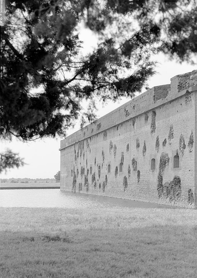
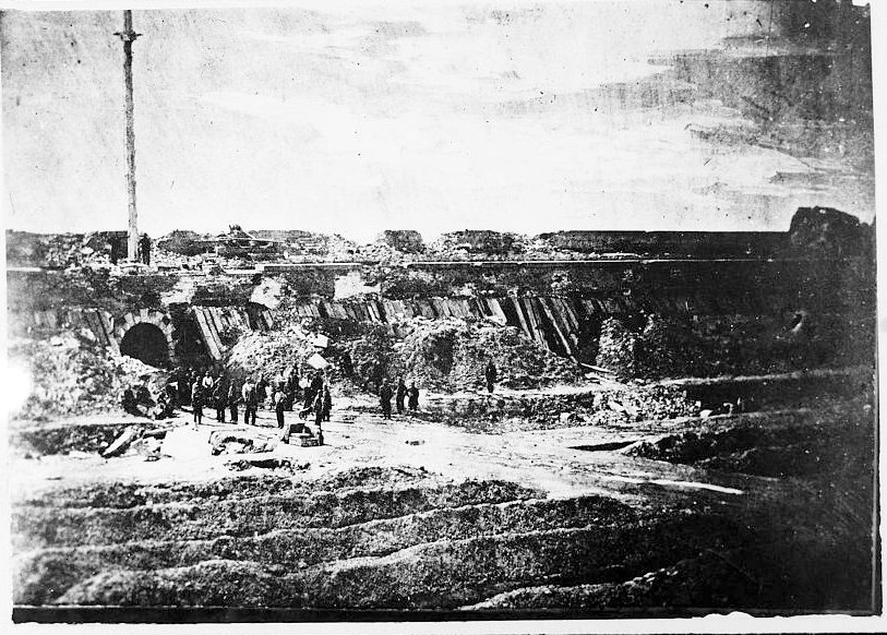
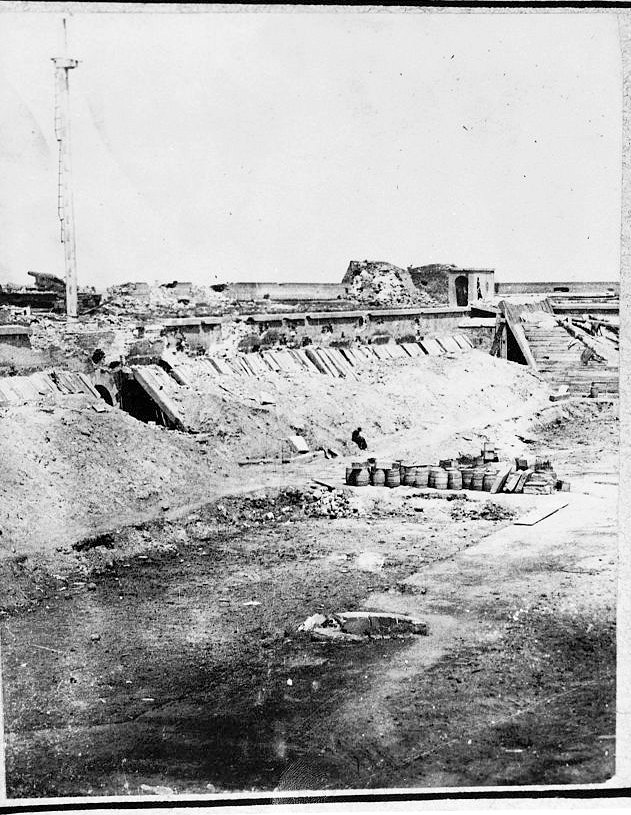
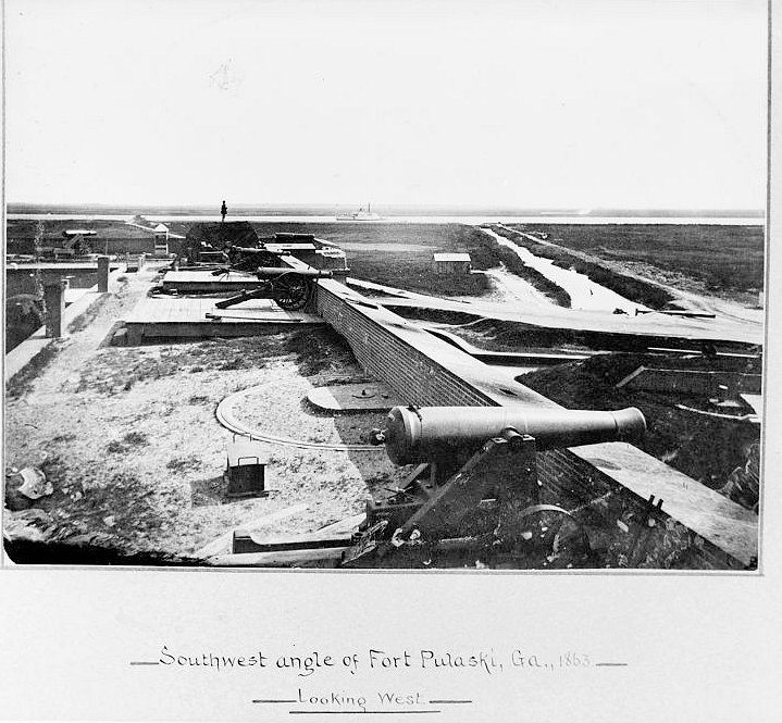
The bombardment began on April 10, 1862, after Olmstead refused a surrender demand. The old theory of Fort Pulaski's invulnerability collapsed quickly. Smoothbore mortars proved far less effective than expected, but the rifled guns, especially the James rifles, struck the southeast angle with range, accuracy, and destructive force that masonry walls could not withstand. Bricks shattered, the moat filled with debris, guns were disabled, and by the second day shells were passing through the breached wall toward the main powder magazine. Olmstead surrendered on April 11, 1862, concluding that continued resistance risked the destruction of the fort and the garrison without military purpose.
The tactical result was immediate: the United States recovered Fort Pulaski, strengthened the blockade of Savannah, and denied the Confederacy a major port outlet. The technical result was even larger. The fall of Fort Pulaski demonstrated that rifled artillery had made traditional brick masonry seacoast forts vulnerable at distances once considered safe. This did not instantly erase all masonry forts, but it changed coastal-defense planning. The future lay increasingly in earth cover, concrete, steel, dispersed batteries, mines, and later more modern harbor-defense systems.
Union Occupation, Prisoners, and Freedom Seekers
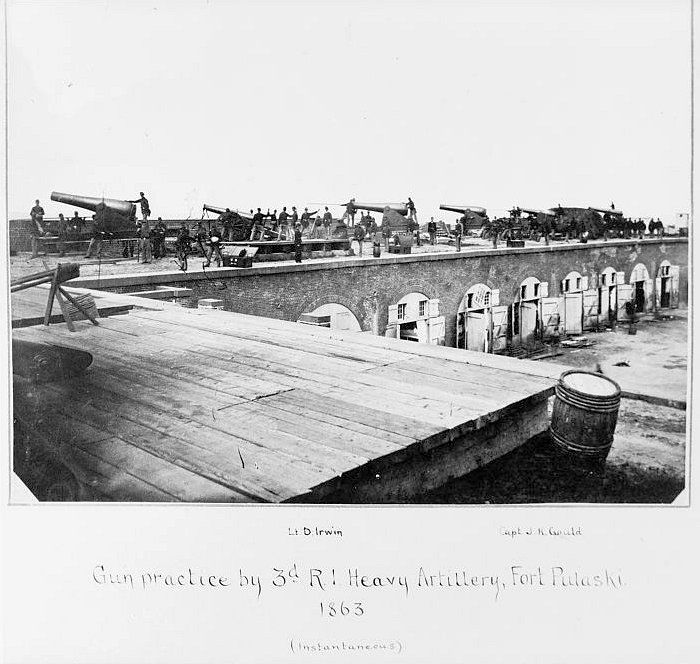
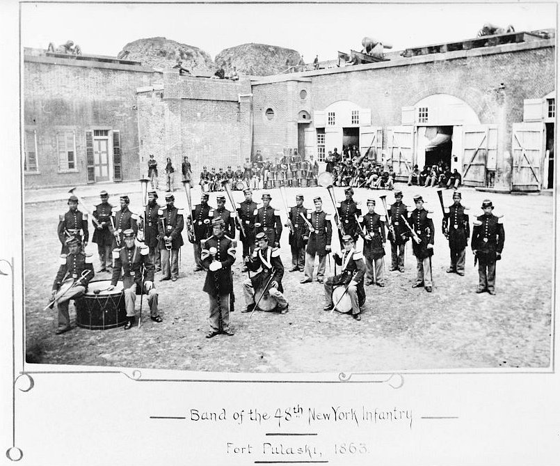
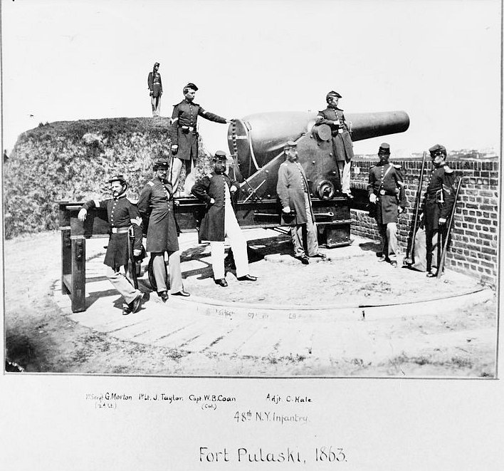
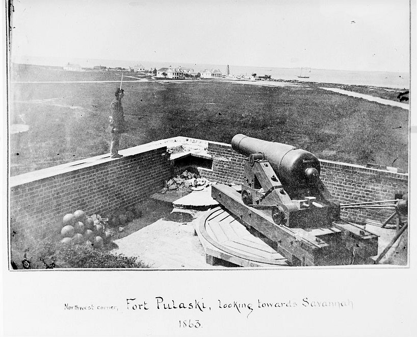
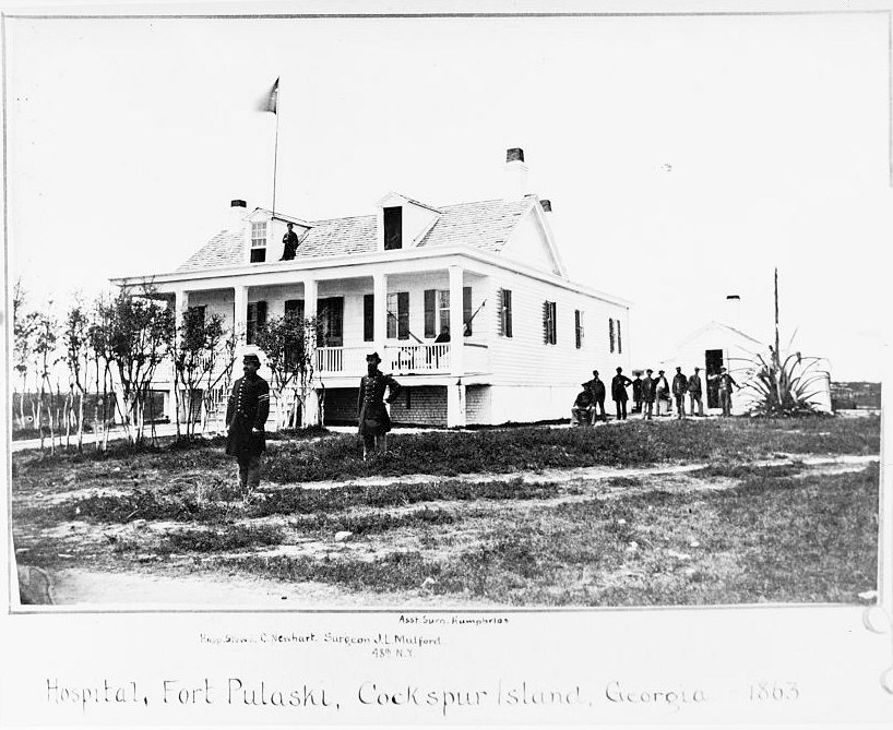
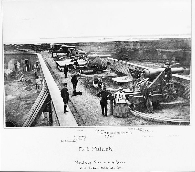
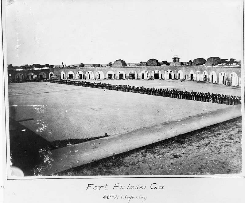
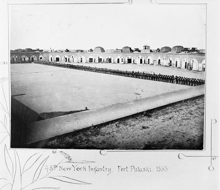
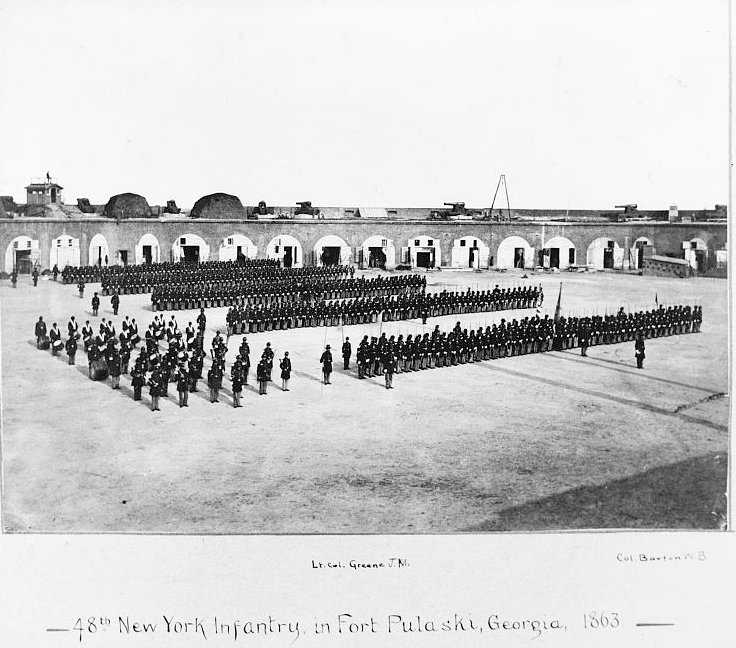
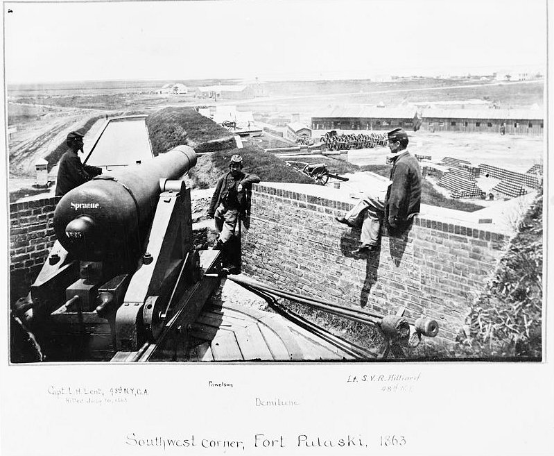
After the surrender, Fort Pulaski again became U.S. property and a U.S. Army garrison. The first U.S. troops to occupy it included the 7th Connecticut Regiment, a company of the 3rd Rhode Island Heavy Artillery, and a detachment of Volunteer Engineers. The 48th New York replaced the 7th Connecticut in June 1862 and remained on Cockspur Island for nearly a year. Troops repaired the battle damage, refitted parts of the fort, moved some guns, and settled into the strange routine of garrison duty on a small, marshy island that had become strategically secure but physically isolated.
Fort Pulaski also became a prison. The captured Confederate garrison was sent north, and later the fort held Confederate prisoners, including the group known as the Immortal Six Hundred. In October 1864, roughly 540 Confederate officers from that prisoner group arrived at Fort Pulaski after earlier confinement connected to the retaliatory prison policies around Charleston. Their confinement at Cockspur Island was harsh, and thirteen died while held there. The fort's prison history links it to the wider breakdown of prisoner exchange, retaliation, race, and military policy in the later Civil War.
The emancipation history is equally important. After the Union victory, Fort Pulaski and Cockspur Island became a refuge for freedom seekers. Hunter's General Orders No. 7 applied to enslaved people held by enemies of the United States at the fort and on Cockspur Island. Many African Americans who reached Union lines in the coastal region worked for the Army, built new lives around Union-occupied posts, and some joined early Black military formations associated with the Department of the South. Fort Pulaski's military history therefore includes not only artillery and fortification, but also the transition from slavery toward freedom in a war zone.
Role in the Wider Military Network
Fort Pulaski's significance depends on its place in several wider military systems. First, it was part of the Third System of coastal fortifications, the national program of post-War of 1812 masonry forts built to defend harbors against foreign attack. Like Fort Monroe, Fort Sumter, Fort Pickens, Fort Morgan, Fort Jackson, and other seacoast works, Fort Pulaski embodied a strategic belief that permanent masonry forts could control the nation's maritime chokepoints.
Second, Fort Pulaski became part of the Civil War's blockade and combined-operations system. Its capture was not an isolated artillery demonstration. It helped seal the Savannah River, supported the Union blockade, and fit into a broader campaign along the South Atlantic coast involving the Army, Navy, engineers, artillery units, infantry, sailors, transport vessels, occupied islands, and coastal logistics. The siege linked Fort Pulaski to Tybee Island, Port Royal, Hilton Head, Charleston, and the wider Department of the South.
Third, the fort's failure shaped the future of coastal defense. Its reduction showed the Army and the world that rifled artillery could defeat brick masonry at previously safe ranges. The result helped push military planners toward earth-protected batteries, dispersed works, minefields, and eventually the Endicott-era system of concrete batteries and controlled mines. Battery Hambright and the mine-control role on Cockspur Island show how the old fort's landscape was absorbed into that newer defensive logic even as the masonry fort itself became obsolete.
Finally, Fort Pulaski became part of the national preservation system. Its 1933 transfer from the War Department to the National Park Service placed it in the same broad transformation that moved many military parks, battlefields, and historic reservations from military custody to public historical stewardship. That transfer changed the meaning of the site. It no longer defended a harbor; it taught Americans how harbor defense, Civil War technology, slavery, emancipation, imprisonment, military engineering, and preservation intersected on one piece of ground.
Postwar Army Use, Abandonment, and Later Coastal Defense
After the Civil War, the Army Corps of Engineers began work to modernize Fort Pulaski, especially the demilune and magazine areas, but the larger direction of military technology had already moved past the fort. The brick work remained physically impressive, but the 1862 siege had proved that masonry alone was no longer a sufficient answer to modern artillery. Fort Pulaski continued to serve for a time as a military and political prison after the war, then receded into marginal military use.
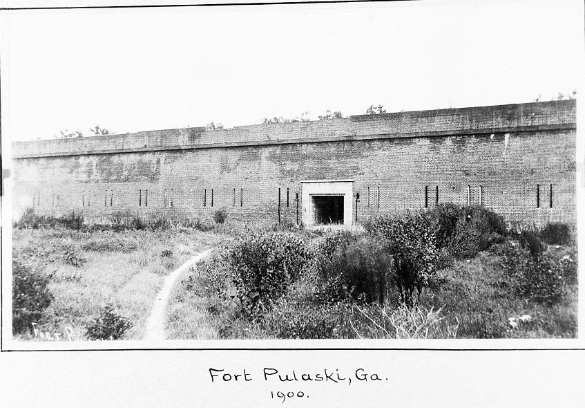
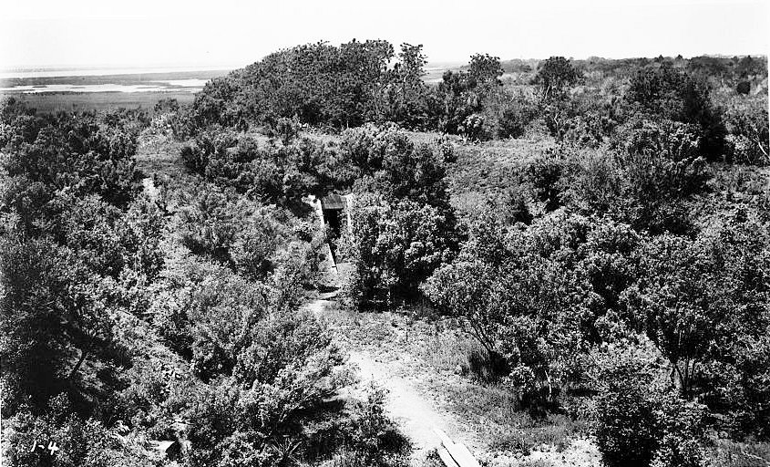
The Army abandoned the active military post in 1879. The property, however, did not simply disappear from federal control. Cockspur Island remained a military reservation and a useful federal landscape at the river mouth. The War Department issued a license in 1889 allowing the City of Savannah to establish a quarantine station on the island. In the Spanish-American War era, the Army again used the site's geography for harbor defense. Battery Horace Hambright and the associated mine-control role demonstrate that although the old brick fort was obsolete as a primary artillery work, Cockspur Island's position still mattered. The island could support mine control, storage, observation, and auxiliary harbor-defense functions while newer defenses developed elsewhere.
By the early twentieth century, Fort Pulaski was increasingly a historic resource rather than a fighting post. Preservation interest grew, and the War Department announced in 1915 that Fort Pulaski had been selected as a potential national monument. President Calvin Coolidge formally established Fort Pulaski National Monument by proclamation on October 15, 1924. At that time the monument initially covered the defined fortification area, later expanded to include all War Department lands on Cockspur Island and donated lands and easements on nearby islands.
Preservation, New Deal Restoration, and World War II Reuse
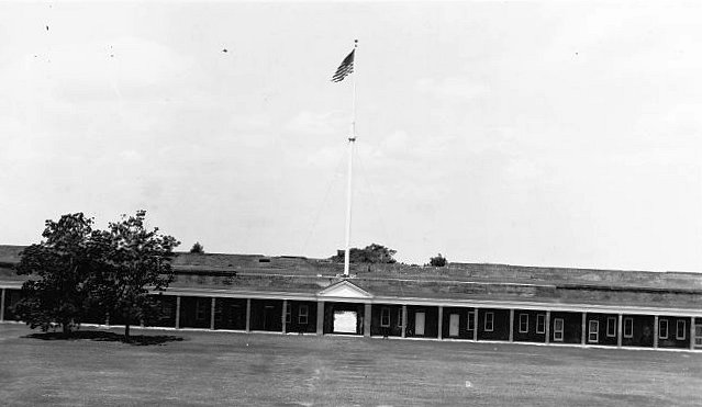
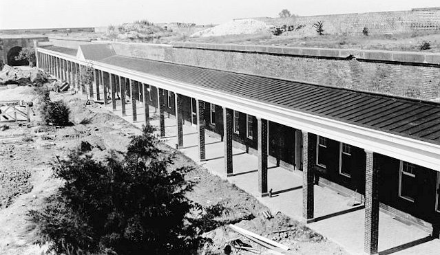
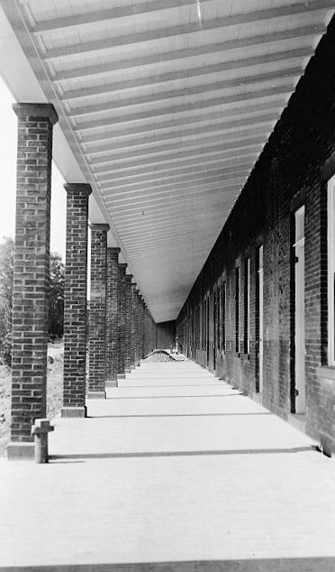
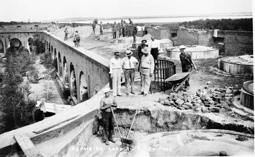
Fort Pulaski's preservation period began under the War Department but accelerated after the 1933 transfer to the Department of the Interior / National Park Service. Executive Order 6166 and related reorganization transferred War Department parks, monuments, and historic sites to Interior. At Fort Pulaski, that shift brought New Deal labor and a new preservation mission. The Civil Works Administration, Civilian Conservation Corps, and Public Works Administration helped clear vegetation, repair masonry, survey and restore the dike system, improve access, repoint brickwork, restore officers' quarters, build administrative and visitor facilities, and construct a bridge linking Cockspur and McQueens Islands. By the late 1930s the neglected fort had been transformed into a public historic site.
World War II interrupted that work. From 1942 to 1947/1948, Fort Pulaski closed to the public while Cockspur Island served as a U.S. Navy Section Base. The Navy's presence added another military layer to the island: coastal patrol, harbor-security, and wartime support activity rather than the old Army artillery mission. NPS documentation notes World War II-era Navy bunkers on the west end of Cockspur Island, nearly covered by dirt and turf today. After the war, the site returned to National Park Service management, and staff faced the work of restoring the resource after years of wartime use and neglect.
In the postwar decades, Mission 66 and later preservation programs improved visitor facilities, interpretation, drainage, trails, cultural-resource management, and historic-structure care. The fort, Battery Hambright, Cockspur Island Lighthouse, construction village, North Pier, cemetery, dike system, and other resources became part of a broader landscape story rather than a single-building exhibit.
Current Status
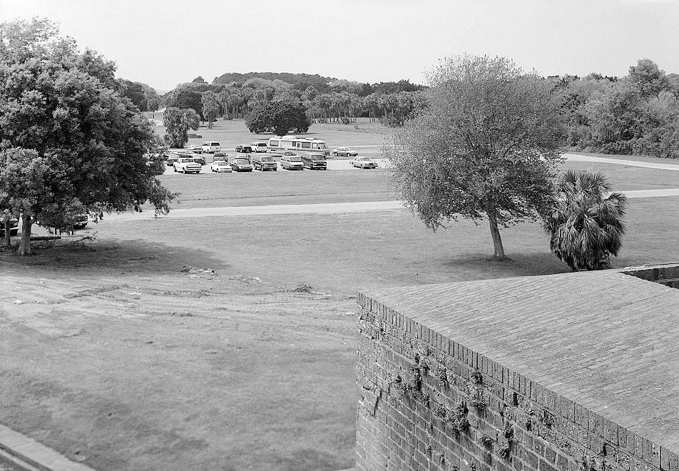
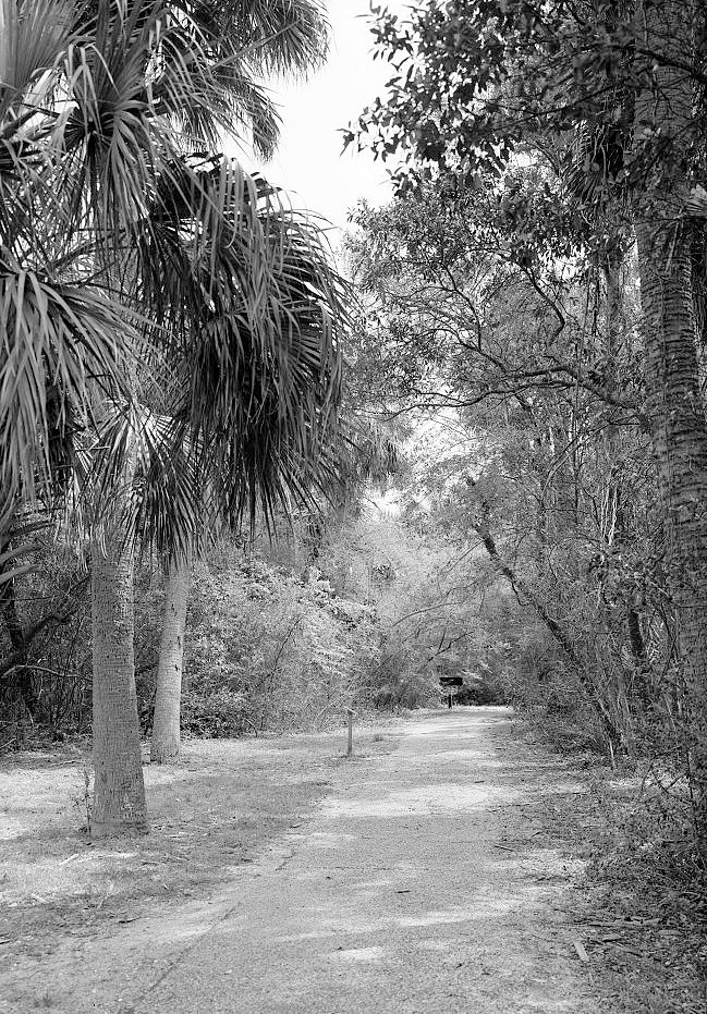
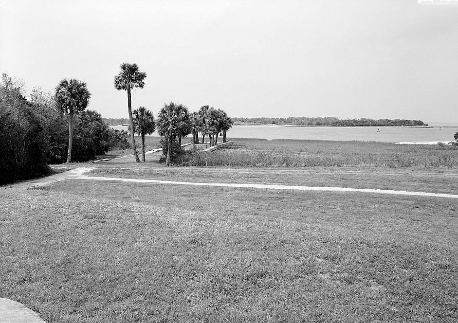
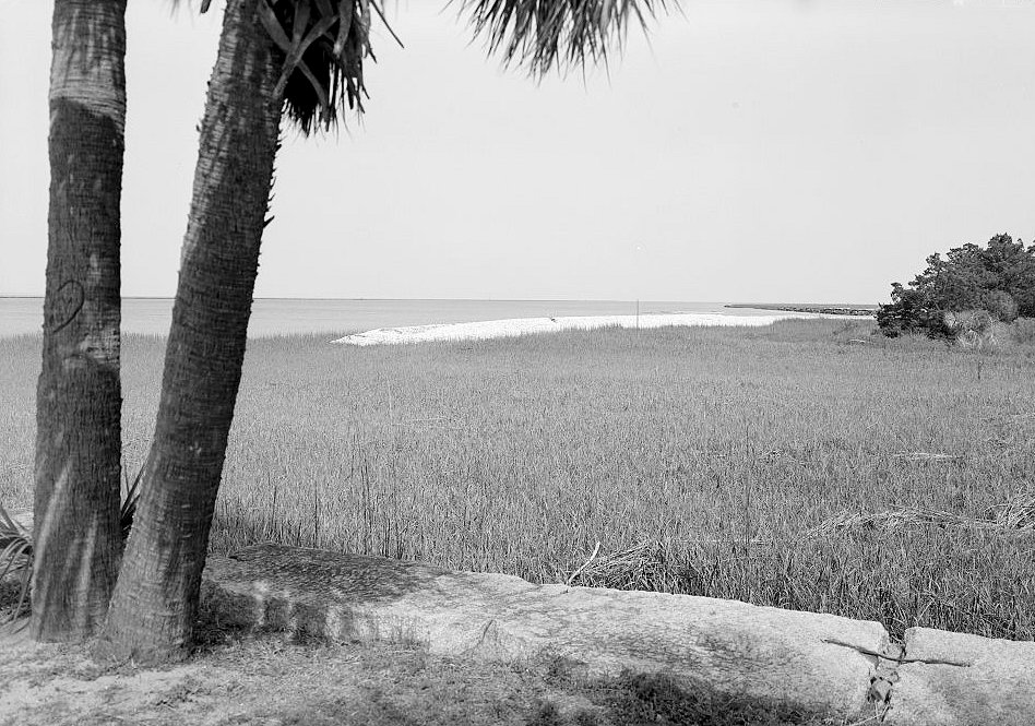
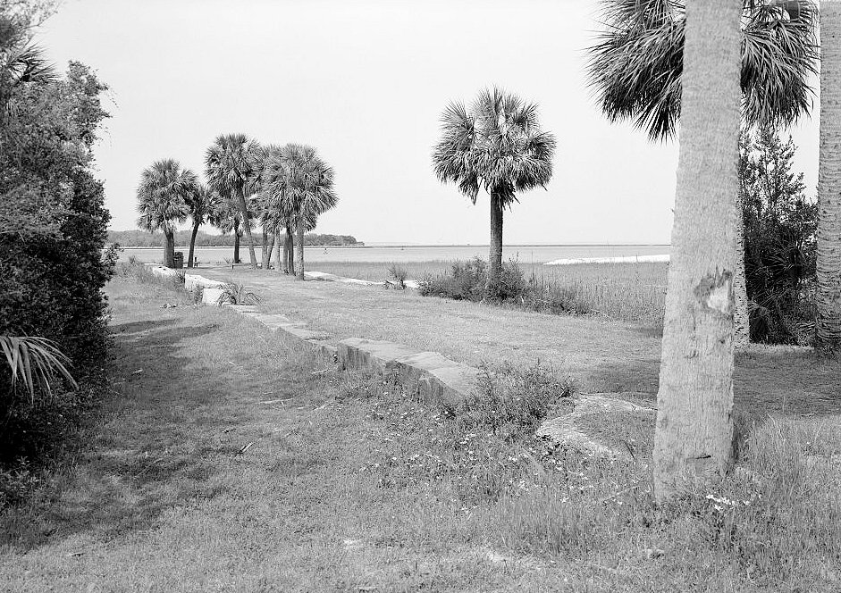
Fort Pulaski is now Fort Pulaski National Monument, administered by the National Park Service. The park encompasses 5,623 acres on Cockspur and McQueens Islands, including the fort, moat, demilune, dikes, drainage systems, salt marsh, Cockspur Island Lighthouse, Battery Hambright, construction-village archeology, historic cemetery, quarantine-station remnants, World War II-era features, and associated landscapes. The fort is open to the public as a preserved historic site, and its landscape supports interpretation, education, wildlife habitat, trails, fishing, boating access, and cultural-resource preservation.
Chronology
- 1736 John Wesley landed on Cockspur Island during the colonial period, later becoming part of the island's interpreted landscape.
- 1779 Casimir Pulaski was mortally wounded during the Revolutionary War siege of Savannah; the later fort would be named in his honor.
- 1816 The United States began the post-War of 1812 Third System coastal-fortification program.
- 1829 Construction began on Fort Pulaski on Cockspur Island.
- 1829-1831 Robert E. Lee, then a young Army engineer, helped oversee early work, including site and drainage challenges.
- 1831 Joseph K. Mansfield took charge of the construction project and supervised it for many years.
- 1847 Fort Pulaski was completed after eighteen years of construction.
- 1861-01 Georgia state troops seized Fort Pulaski shortly before Georgia seceded from the Union.
- 1861-11 Confederate General Robert E. Lee inspected Fort Pulaski and directed additional defensive preparations.
- 1861-12 Colonel Charles H. Olmstead took command of the Confederate garrison.
- 1862-02 Union forces began siege preparations against Fort Pulaski from Tybee Island and surrounding positions.
- 1862-04-10 Union artillery batteries on Tybee Island opened fire after Olmstead refused to surrender.
- 1862-04-11 Fort Pulaski surrendered after rifled artillery breached the southeast angle and threatened the powder magazine.
- 1862-04-13 Major General David Hunter issued General Orders No. 7 at Fort Pulaski, declaring free the enslaved people held by enemies of the United States at Fort Pulaski and on Cockspur Island.
- 1862-06 The 48th New York replaced the 7th Connecticut as the principal Union garrison at Fort Pulaski.
- 1864-10 Confederate officers later known as the Immortal Six Hundred were transferred to Fort Pulaski.
- 1865 Union forces continued to hold Fort Pulaski through the end of the Civil War; the fort also served as a prison for Confederate political and military figures.
- 1869-1872 The Army began postwar modifications to the fort and demilune, including magazine and gun-position work, but did not complete a full modernization program.
- 1879 The U.S. Army abandoned Fort Pulaski as an active military post.
- 1889 The War Department licensed part of Cockspur Island for use as a Savannah quarantine station.
- 1898-1899 Battery Horace Hambright was constructed on Cockspur Island as part of Spanish-American War / Endicott-era harbor-defense work.
- 1915 The War Department announced Fort Pulaski's selection as a potential national monument.
- 1924-10-15 President Calvin Coolidge proclaimed Fort Pulaski National Monument.
- 1933-08-10 Fort Pulaski transferred from War Department administration to the Department of the Interior / National Park Service under the 1933 federal reorganization.
- 1934 CCC Camp 460 was established on Cockspur Island, beginning major New Deal restoration and development work.
- 1938 A bridge was built across the South Channel between Cockspur and McQueens Islands, improving access to the monument.
- 1939 Fort Pulaski stood as a restored public historic site shaped by CWA, CCC, and PWA work.
- 1942 Fort Pulaski closed to the public and Cockspur Island became a U.S. Navy Section Base during World War II.
- 1947-1948 Fort Pulaski returned to National Park Service management after the wartime Navy period.
- 1956 Mission 66 began, later bringing visitor-center, drainage, interpretive, and infrastructure improvements.
- 1958 A presidential proclamation transferred two former Coast Guard islands, including the Cockspur Island Lighthouse island, to the National Park Service.
- 1966-10-15 Fort Pulaski was administratively listed in the National Register of Historic Places.
- 1996 Congress removed the U.S. Army Corps of Engineers reserved right to deposit dredge spoil on Cockspur Island.
- Present Fort Pulaski remains a National Park Service national monument preserving the former Army coastal fort, surrounding cultural landscape, salt marsh, lighthouse, Battery Hambright, construction-village archeology, and related historic resources.