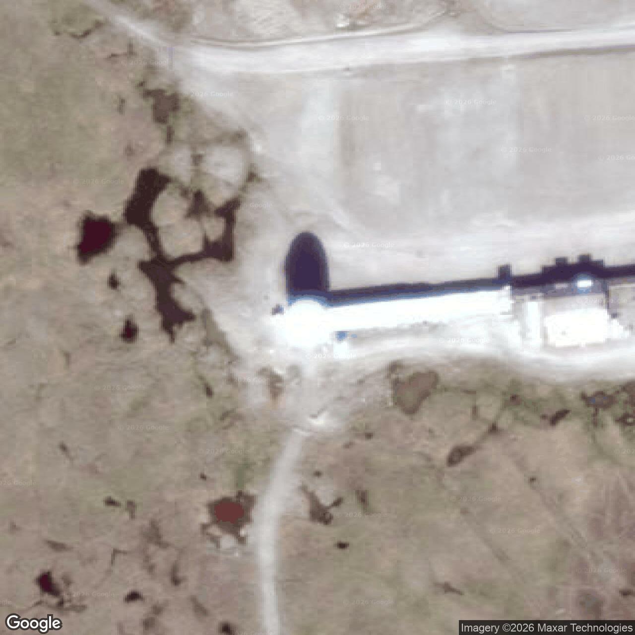
Barter Island DEW Line Main Station and Long Range Radar Site, Alaska
At the Arctic village of Kaktovik, the Air Force tested a new polar-warning radar, built a DEW Line main station and later installed a radar for the North Warning System.
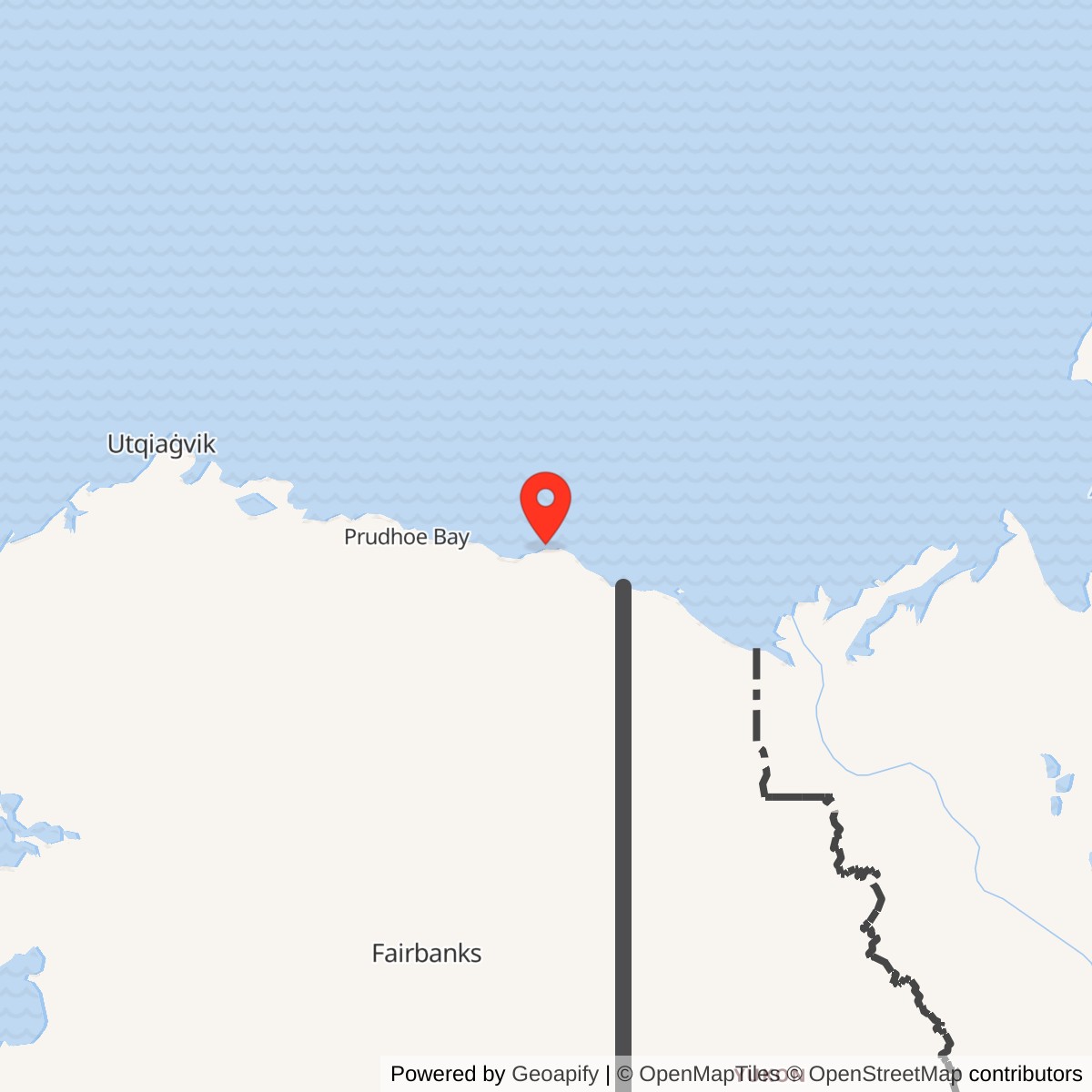
Longitude: -143.6392
Official Base Website: Barter Island Long Range Radar Site
Current Role: North Warning System/Alaska Radar System long-range radar near Kaktovik; confirmed by Air Force public-affairs and 2025 support procurement.
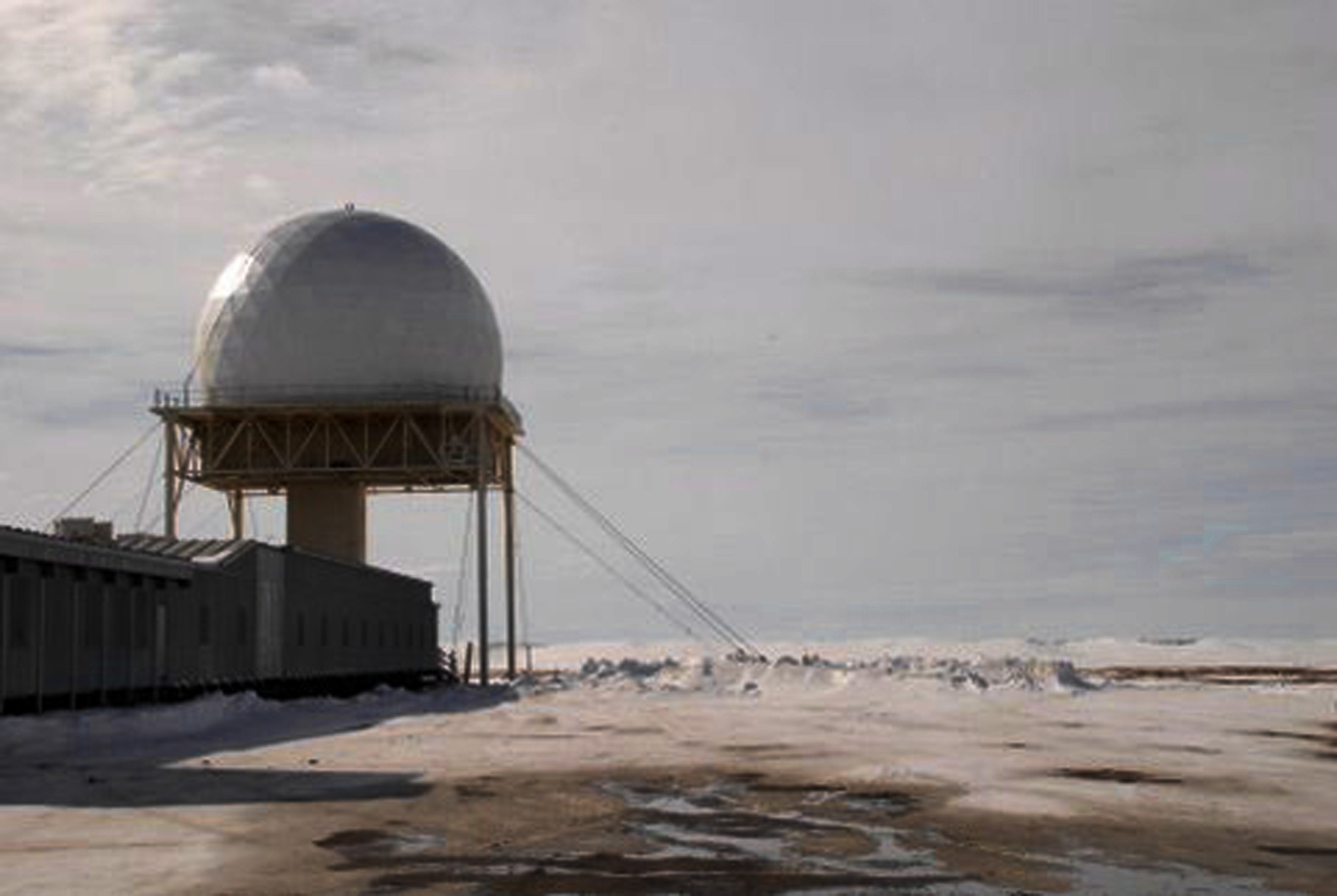
Barter Island was one of the experimental sites from which the Distant Early Warning (DEW) Line grew. Known in that system as BAR-M, it watched the Beaufort Sea approach and supported neighboring stations along the Alaskan coast. Its mission continued through a communications transition and a major radar replacement. A 2023 Defense Department inventory still listed the site as an AN/FPS-117 North Warning System long-range radar installation. [1] [4]
- DEW Line code
- BAR-M, a main station in the Barter sector.
- Military mission
- Arctic long-range air surveillance and early warning.
- Original radar
- AN/FPS-19 prototype tested in 1954; the type subsequently served the operating DEW Line.
- Later radar
- AN/FPS-117, operational in the North Warning System by November 15, 1990.
- Communications
- White Alice tropospheric-scatter link with Fort Yukon during the Cold War.
- Location
- Barter Island, beside Kaktovik on Alaska's Beaufort Sea coast.
An Experimental Arctic Station
The U.S. Navy built an airfield on Barter Island in 1947. The gravel runway later became the supply and access lifeline for the Air Force radar installation. As planners sought a warning system ahead of North America's existing radar screen, they selected Barter Island as an experimental DEW location. Construction of the main installation began in 1952-1953, with personnel and equipment brought into a remote coast north of the Arctic Circle. The new station took the BAR-M code. [1] [2]
A prototype AN/FPS-19 radar was installed at Barter Island in 1954 and tested in the Arctic environment. The prototype work helped develop automatic warning equipment, including an audible target alarm. This was a proving ground for radar and operating methods, as well as the location of a future permanent station. The larger DEW Line construction program followed, and the Alaskan portion of the system entered operation in 1957. [1]
BAR-M in the DEW Line
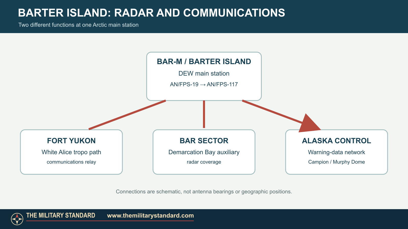
Barter Island and Point Barrow were the two main stations in the original Alaskan DEW Line. BAR-M was the principal station for its eastern Alaska sector. The nearby Demarcation Bay auxiliary station extended that sector's radar coverage. BAR-M collected surveillance information and passed warning data south to Alaska's air-defense control network. Corps documentation names Campion and Murphy Dome among the data centers receiving Alaska DEW Line reports. [1]
BAR-M was more than a radome. Four prefabricated module trains, designated A through D, provided electronic work areas, power, maintenance, housing and support functions. The radar tower connected to this complex. Warehouses, fuel storage, roads and the airfield made sustained operation possible in a place with no road link to the rest of Alaska. The developed station stood near Kaktovik, whose residents lived with the military installation on the same island. [1] [2]
Communications and Daily Operations
Air warning was useful only if radar reports could reach controllers reliably. The White Alice Communications System supplied a long-distance radio path between Barter Island and the Fort Yukon installation. That tropospheric-scatter connection tied the Arctic station into Alaska's wider defense communications network. White Alice service at Barter Island ended in 1979; later communications used different equipment. [1] [2]
Personnel maintained the radar, generators, communications and runway through Arctic winters. The early installation could house a substantial military complement; a 2009 Air Force account recalled as many as 150 service members at the older station. The airfield supported movement of people and supplies, while the main station also furnished logistics support to its sector's outlying sites. As automation improved, the resident workforce fell sharply. [1] [3]
The North Warning System
In the 1980s the United States and Canada began replacing the aging DEW Line with the North Warning System. Barter Island received an AN/FPS-117 long-range radar, part of a new chain of largely automated sensors. The Air Force also tested an AN/FPS-124 short-range radar prototype at Barter Island before that equipment was installed at other sites. Barter Island entered operation in the new system on November 15, 1990. [1] [5]
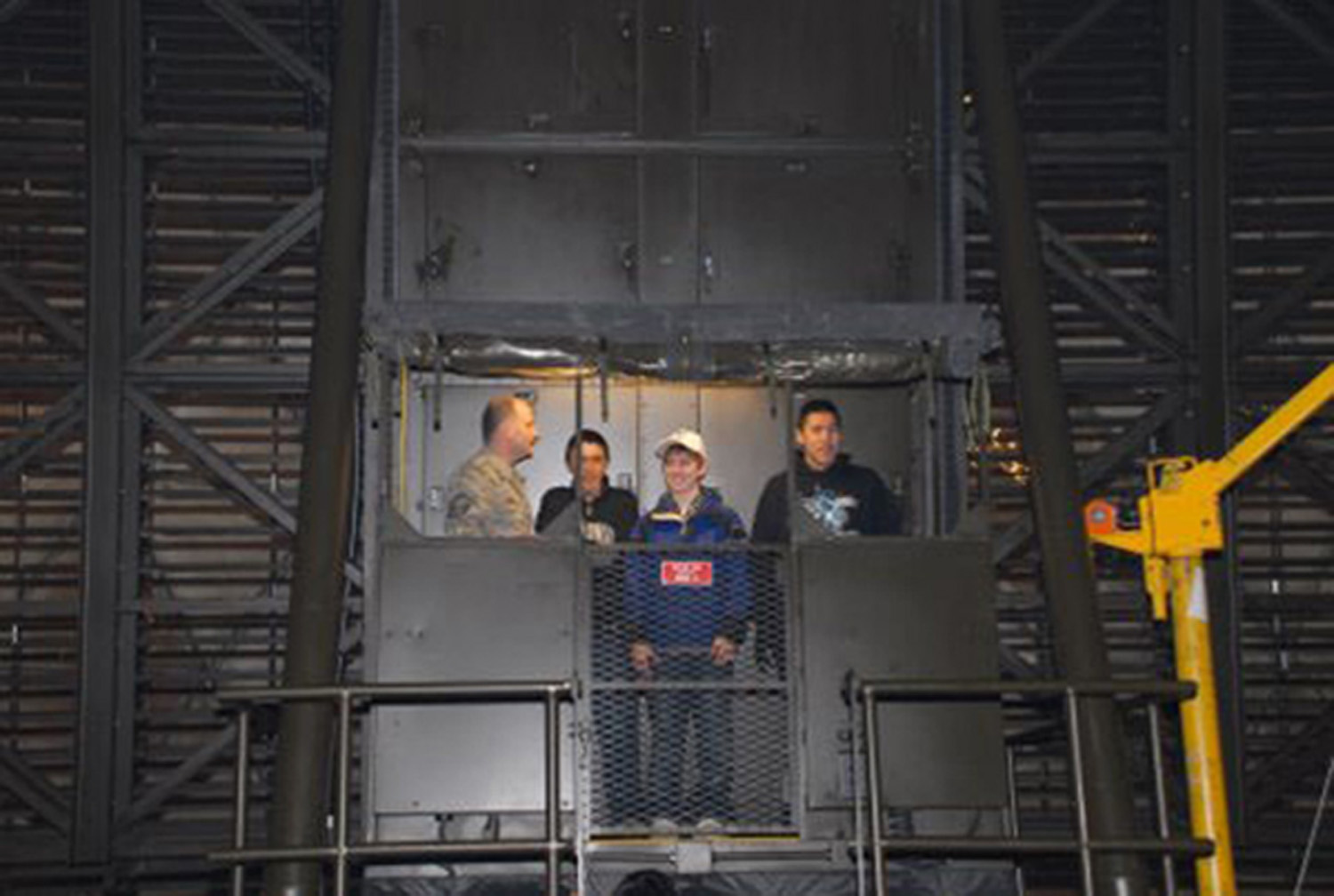
The new radar retained the Arctic-watch mission but needed far fewer people on site. In 2009 the Air Force described a station monitored around the clock by personnel of the 611th Air Support Group at Elmendorf, with two civilian contractors living at Barter Island. The Air Force opened the radome and work areas to Kaktovik residents that April, explaining the station's role in the continental warning network. A Defense Department report issued in 2023 still identified Barter Island as an FPS-117 North Warning System site. [3] [4]
The Site and Its Legacy
The older DEW installation was reduced as the radar mission changed. Air Force records describe demolition of several module trains, old White Alice structures and excess fuel facilities in the 2000s. The remaining radar and support buildings continued the warning mission beside Kaktovik. The Air Force and Alaska Department of Environmental Conservation have also addressed contamination left by earlier fuel and equipment use. Those later cleanup actions reflect the scale of the former staffed station, while the surviving radome represents its continued air-defense role. [2] [3]
Chronology
- 1947: The U.S. Navy constructs the Barter Island airfield. [2]
- 1952-1953: Construction of the experimental BAR-M radar installation begins. [1] [2]
- 1954: A prototype AN/FPS-19 is installed and tested at Barter Island. [1]
- 1957: BAR-M enters service with the operating Alaskan DEW Line. [1] [2]
- 1979: White Alice service at the installation ends. [2]
- 1980s: North Warning System modernization replaces the original long-range radar and reduces the site's required resident staff. [1] [5]
- November 15, 1990: Barter Island's AN/FPS-117 site becomes operational in the North Warning System. [1]
- 2000s: Several older module trains and excess support structures are removed. [2]
- April 27, 2009: The Air Force hosts an open house for Kaktovik residents inside the radar station. [3]
- 2023: A Defense Department report continues to list Barter Island as an FPS-117 North Warning System site. [4]
Information sources (7)
- PDFU.S. Army Corps of Engineers, The Cold War in Alaska: A Management Plan for Cultural Resources, 1994, DEW Line history and Barter Island entries
Source for BAR-M origins, AN/FPS-19 tests, 1957 operation, Fort Yukon connection, sector role and November 15, 1990 NWS operation.
- PDFU.S. Air Force, Record of Decision, Heated Storage (SS013), Barter Island Long Range Radar Station, March 2009
Source for Navy airfield, early construction, White Alice closure, original module-train layout and later demolition.
- WEBU.S. Air Force, Inside the Dome: Barter Island Radar Site Opens Doors, May 26, 2009
Source for the 2009 operating mission, contractor staffing, community open house and historical personnel scale.
- PDFU.S. Department of Defense, 2023 Report to Congress on Permafrost Thaw, radar-site inventory
Source for Barter Island remaining listed as an AN/FPS-117 North Warning System site in the 2023 report.
- PDFU.S. Air Force, 611th Air Support Group Remote Sites Integrated Natural Resources Management Plan, 2013
Source for North Warning System modernization and AN/FPS-124 prototype testing at Barter Island.
- WEBU.S. Air Force, Barter Island Radar Site, April 27, 2009, photograph 090427-F-1735C-148, John T. Callahan
Source and public-domain reuse notice for the actual-site exterior photograph.
- WEBU.S. Air Force, Inside the Barter Island Radome, April 27, 2009, photograph 090427-F-1735C-128, John T. Callahan
Source and public-domain reuse notice for the actual-site interior photograph.