
Point Lay DEW Line Station and Long Range Radar Site
On the Chukchi Sea coast, LIZ-2 watched the Arctic sky from 1957 until a new radar briefly carried its mission into the 1990s.
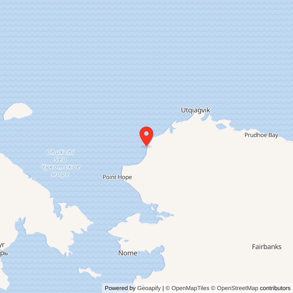
Longitude: -163.0164
Point Lay was an auxiliary station in the Distant Early Warning Line and later an AN/FPS-117 long-range radar site. The station stood beside Kasegaluk Lagoon, north of the village of Point Lay. Its radar and communications equipment formed the western end of the Alaskan DEW Line. The later radar site closed in 1994. [1] [5] [7]
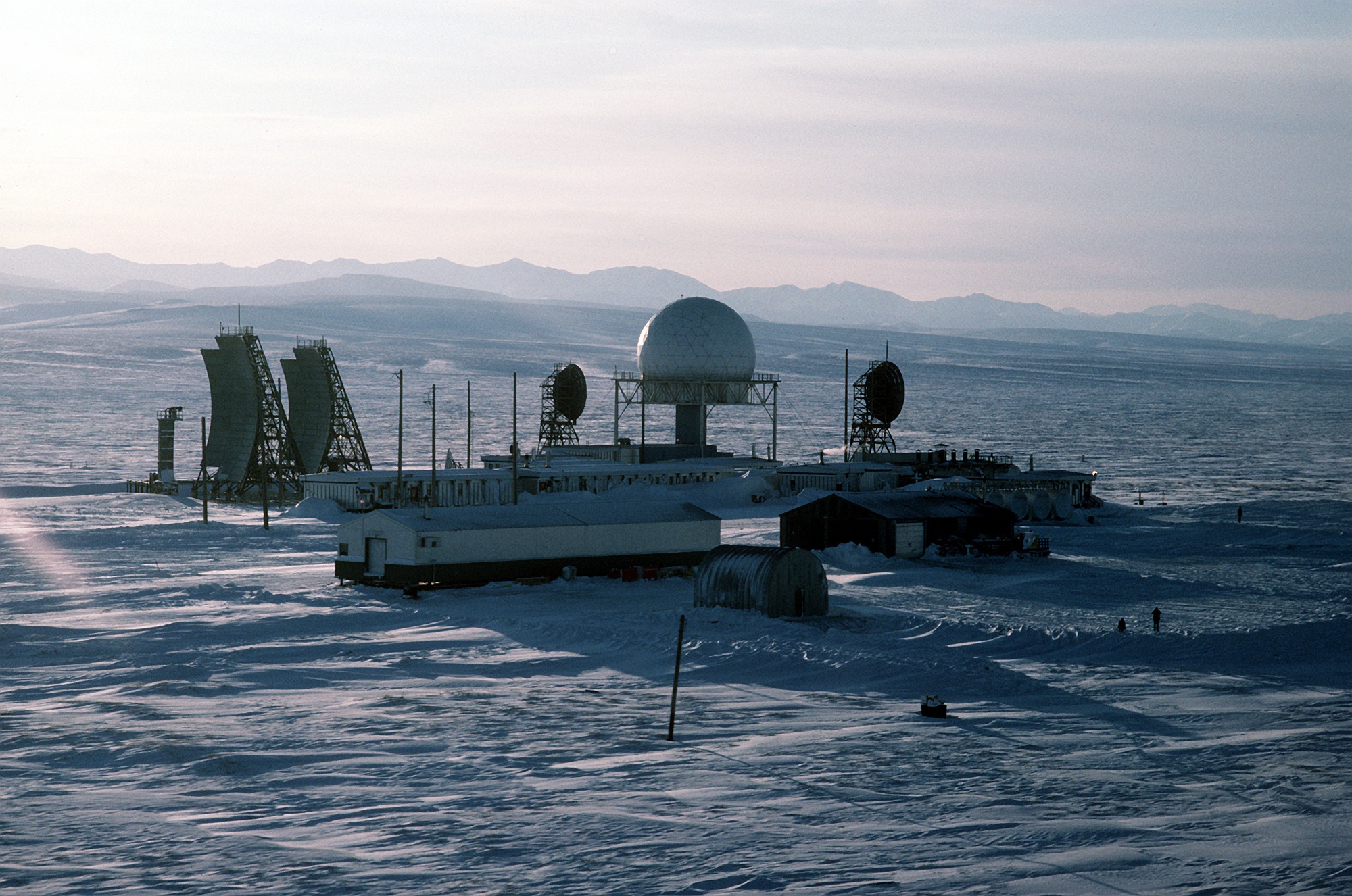
- DEW Line code
- LIZ-2, Cape Lisburne sector auxiliary station.
- Original radar
- AN/FPS-19 search radar and AN/FPS-23 gap-filling equipment.
- Later radar
- AN/FPS-117 long-range radar in the North Warning System.
- Operating period
- DEW service from August 1957; radar site deactivated in 1994.
- Location
- Kasegaluk Lagoon, north of Point Lay, Alaska.
Building LIZ-2
The Air Force built the Point Lay auxiliary station in 1955 on low coastal ground beside Kasegaluk Lagoon. It stood roughly a mile north of the village, with airstrips and gravel roads linking the station, shoreline landing area and community. Point Lay was the westernmost operating DEW Line radar station. Its LIZ-2 code placed it in the Cape Lisburne sector. [1] [2]
When the Alaskan DEW Line entered service in August 1957, Point Lay used an AN/FPS-19 search radar and AN/FPS-23 gap-filling equipment. Main stations such as Point Barrow and Barter Island supported sectors; auxiliaries such as Point Lay supplied additional rotating-radar coverage between them. The LIZ sector also included smaller intermediate stations at Cape Sabine, Icy Cape and Peard Bay. [1] [2]
Radar, Communications and Arctic Supply
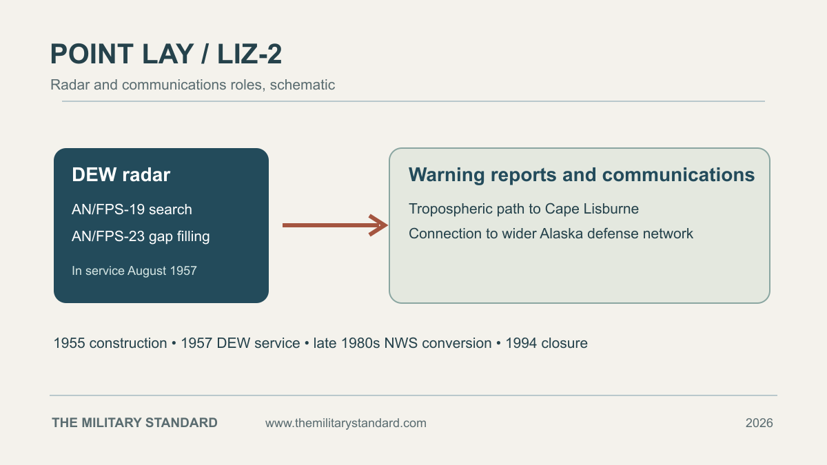
The AN/FPS-19 radar operated beneath the station's central radome. Warning reports needed communications links as well as radar coverage. The 1987 Air Force photograph shows a pair of large curved tropospheric-scatter antennas and two smaller dishes beside the radome. A documented radio path connected Point Lay with Cape Lisburne, where the DEW communications system met Alaska's White Alice network. [1] [3] [4]
A long, low modular building housed the working and living spaces needed to keep the site operating. Power, fuel, maintenance, aircraft access and seasonal delivery across the coast were essential parts of the mission. In the Air Force's 1987 photograph, the radar tower, communications antennas, module train and separate support buildings are visible together in the snow. [1] [4]
Conversion to the North Warning System
The United States and Canada began replacing the older DEW Line equipment during the 1980s. Point Lay received an AN/FPS-117 long-range radar in 1987 and entered the North Warning System around 1989-1990. The older DEW equipment continued during the transition. [5] [6]
The replacement radar supported the same broad purpose: watching Arctic air approaches and passing surveillance data to the continental warning system. More automated equipment changed how that duty was carried out and reduced the workforce needed at the station. [5]
Inactivation and the Former Site
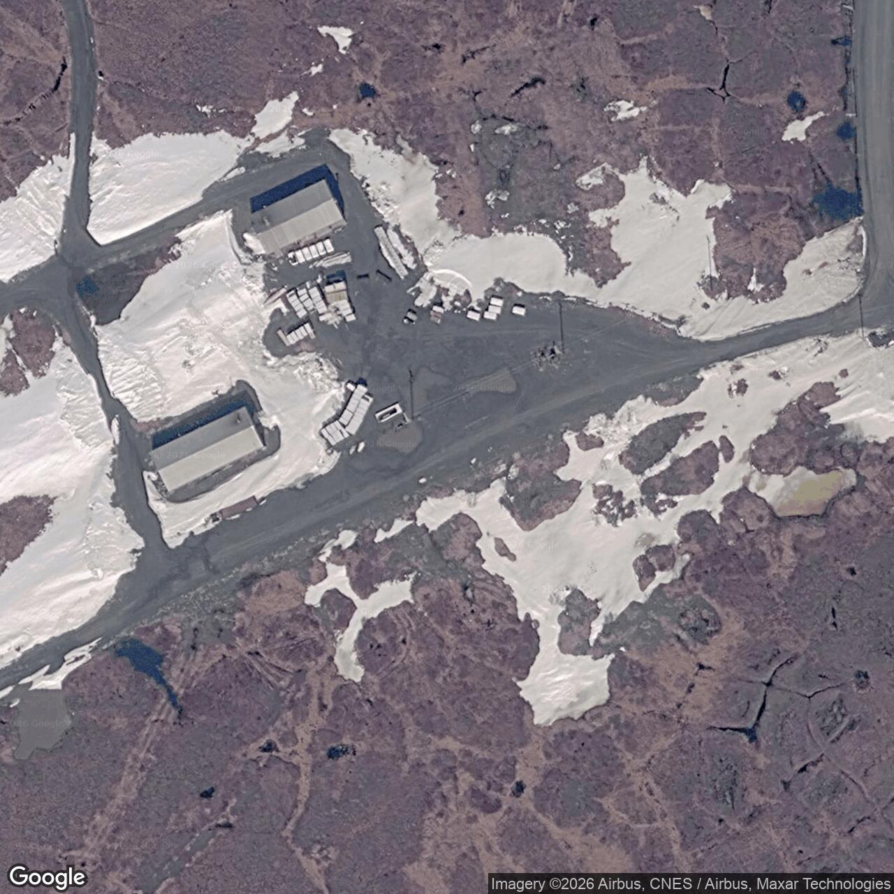
The older DEW radar phase ended in 1989, and the North Warning System radar at Point Lay was deactivated in 1994. Point Lay is therefore a former radar station, unlike continuing AN/FPS-117 sites elsewhere on Alaska's coast. The Air Force later removed much of the obsolete installation; a federal shoreline study reported remediation by 2005 and noted remaining gravel airfield and building pads. [5] [7]
The former station remains part of Point Lay's Cold War landscape. Its surviving records and the 1987 Air Force image show how radar, communications and Arctic logistics worked as one installation at the western end of the DEW Line. [1] [4] [7]
Chronology
- 1955: Construction begins at Point Lay as the LIZ-2 auxiliary DEW Line station. [1]
- August 1957: LIZ-2 enters service in the Alaska DEW Line with AN/FPS-19 and AN/FPS-23 radar equipment. [1]
- 1987: An Air Force photograph records the radome, modular station, large tropospheric antennas and smaller communications dishes. [4]
- Late 1980s: Point Lay receives AN/FPS-117 long-range radar equipment during North Warning System modernization. [5] [6]
- 1989: The original DEW radar phase ends. [7]
- 1994: The Point Lay North Warning System radar site is deactivated. [5] [6] [7]
- By 2005: Federal remediation of the former radar station is substantially complete. [7]
Related Sites
- Cape Lisburne Air Force Station, the LIZ sector station and communications connection
- DEW Line station directory
- History of the DEW Line
- AN/FPS-19 radar and AN/FPS-117 radar
Information sources (7)
- PDFU.S. Army Corps of Engineers, The Cold War in Alaska: A Management Plan for Cultural Resources, 1994, DEW Line table and Point Lay entry
Source for LIZ-2 construction, August 1957 operation, radar equipment, LIZ-sector stations, location and 1994 site description.
- PDFDEW Line program, Minutes and Progress Reports, 1955-1963, station-code roster
Source for the LIZ-2 station code and its position among the Cape Lisburne-sector stations.
- WEBDEWLine Communications Systems, firsthand account of the Point Lay-Cape Lisburne AN/FRC-45 link
Source for the tropospheric-scatter communications path between Point Lay and Cape Lisburne.
- WEBU.S. Air Force, Point Lay Alaska DEW Line, photograph DF-ST-88-03446, February 20, 1987, Tech. Sgt. Donald L. Wetterman; public domain
Source for the actual-site photograph of the radome, antennas and buildings, and its public-domain reuse record.
- PDFU.S. Air Force, 611th Air Support Group Remote Sites Integrated Natural Resources Management Plan, 2013, North Warning System history
Source for AN/FPS-117 installation and Point Lay's later classification as an inactive long-range radar site.
- PDFDefence Research and Development Canada, The DEW Line: A Bibliography and Documentary Resource List, station roster, 2012
Source for LIZ-2 location, the 1989-1990 North Warning System transition and 1994 deactivation.
- PDFU.S. Geological Survey, National Assessment of Shoreline Change: Icy Cape to Cape Prince of Wales, Open-File Report 2019-1146, page 18
Source for the 1989 DEW phase end, 1994 radar deactivation and site remediation by 2005.