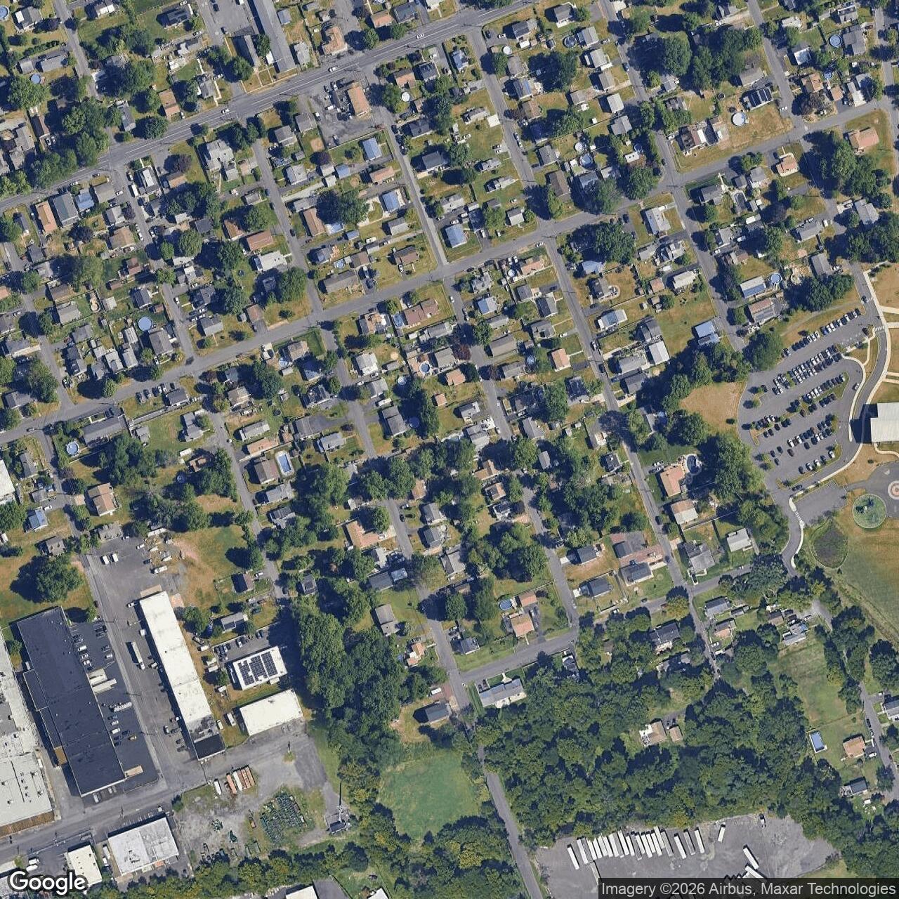
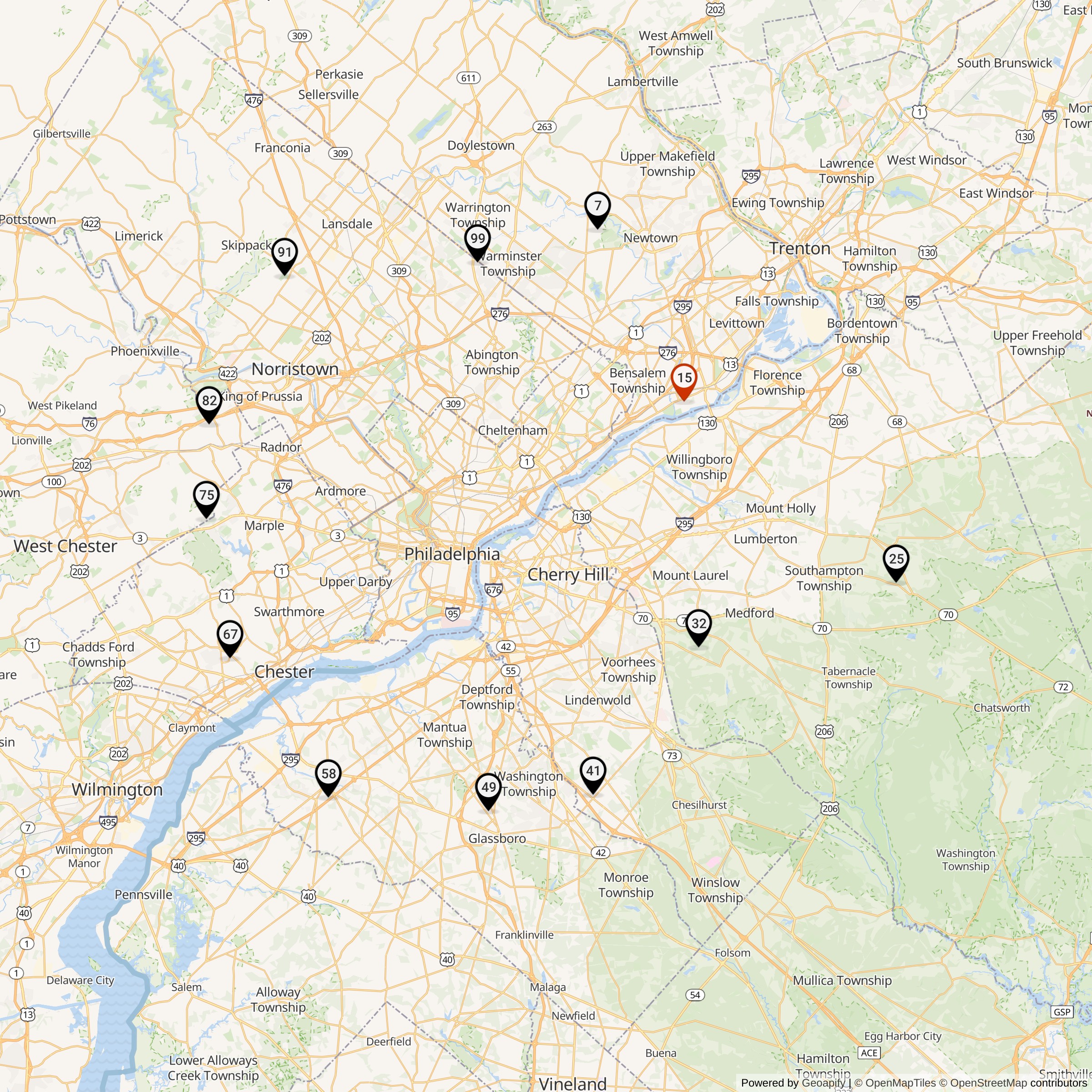
Nike Missile Site PH-15 Launcher, Bristol Pennsylvania
Longitude: -74.8978
This location was part of the Philadelphia Defense Area
Site ID: PH-15
The missiles at this Launch Area were controlled by the Integrated Fire Control site located here.
Site Role: Launcher
A typical Nike air defense site consisted of two separate parcels of land. One area was known as the Integrated Fire Control (IFC) Area. This site contained the Nike system's ground-based radar and computer systems designed to detect and track hostile aircraft, and to guide the missiles to their targets.
The second parcel of land was known as the Launcher Area. At the launcher area, Nike missiles were stored horizontally within heavily constructed underground missile magazines. A large, missile elevator brought the Nikes to the surface of the site where they would be pushed across twin steel rails to one of four satellite launchers.
Elaboration on how Nike worked here.
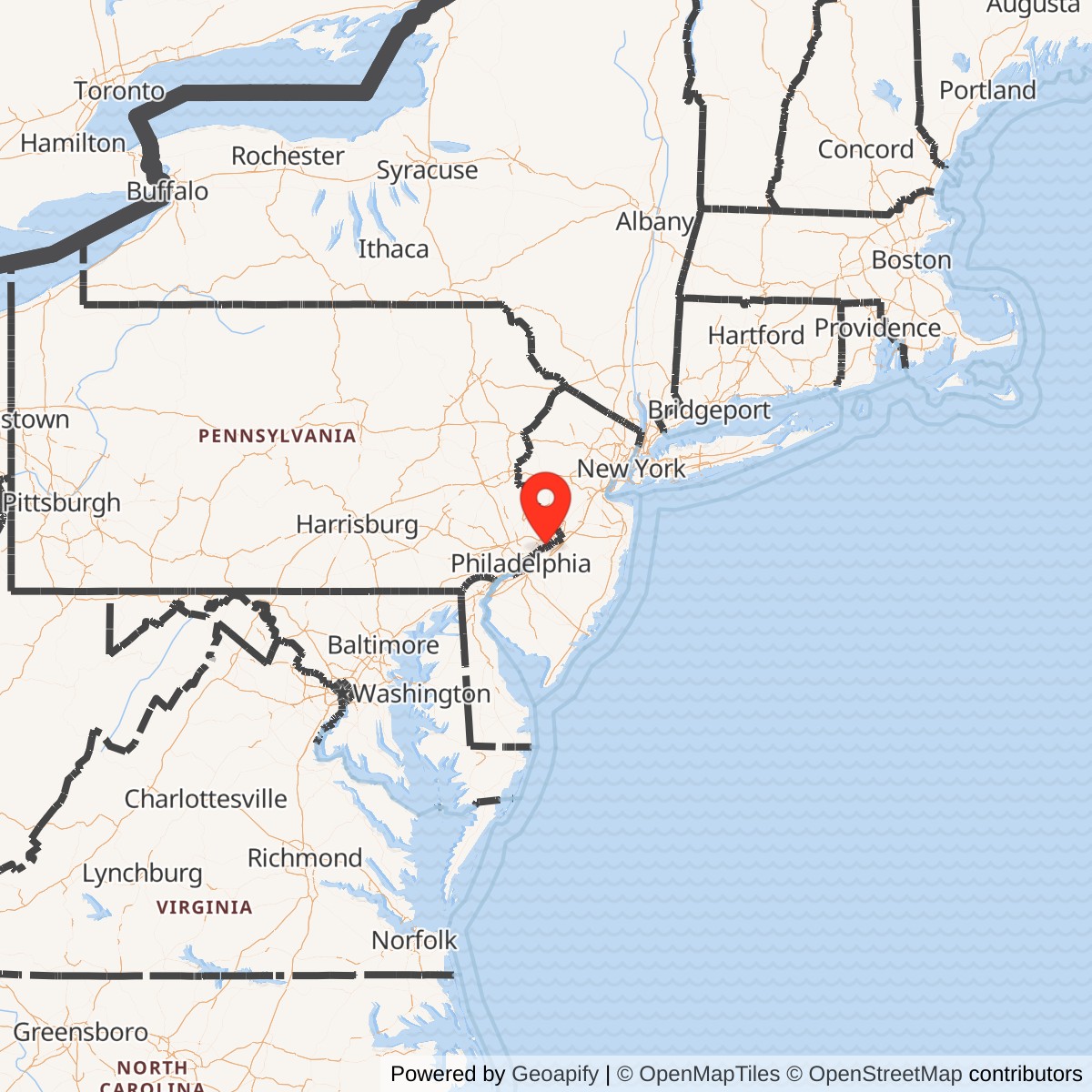
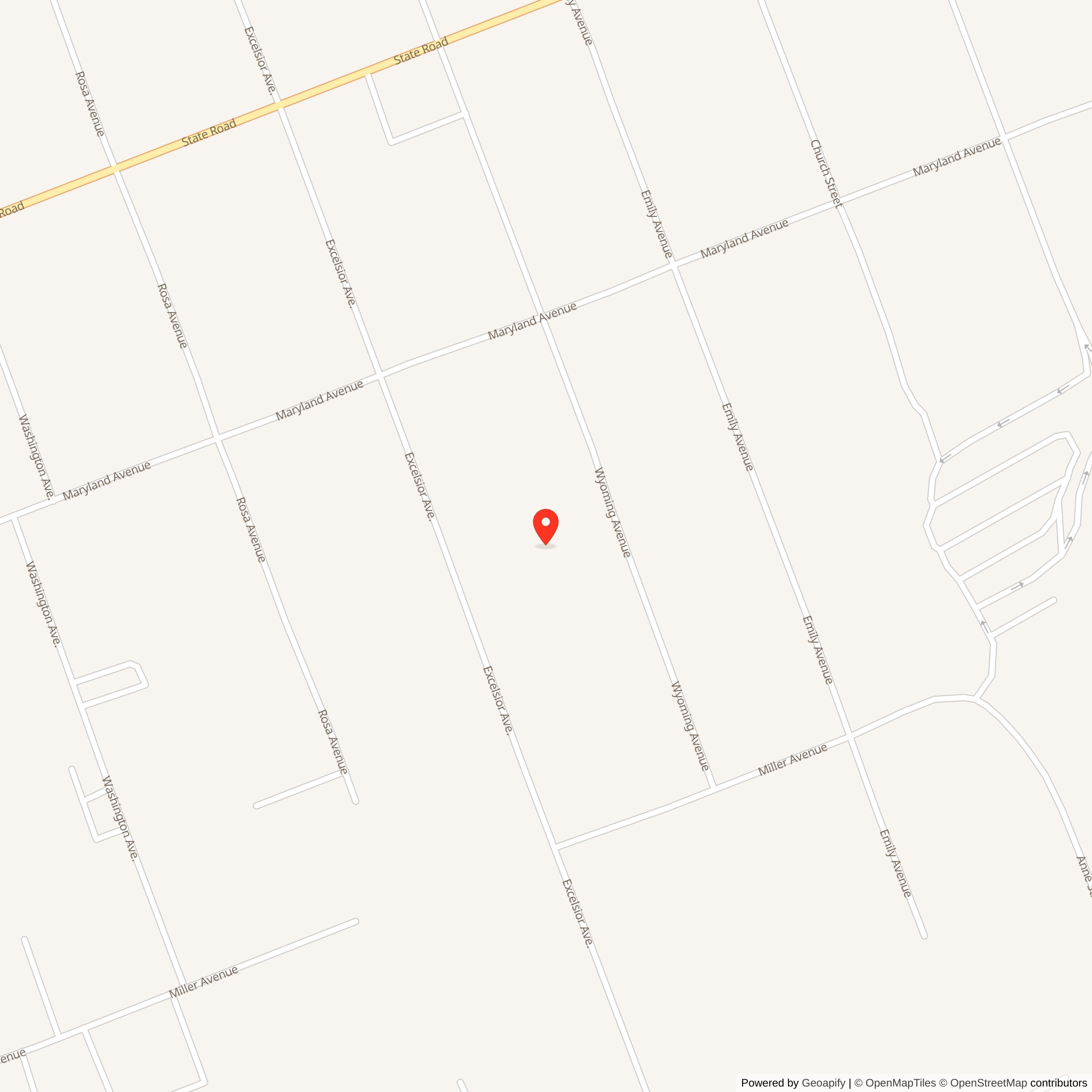
Nike Missile Site PH-15 was a U.S. Army Nike Ajax air-defense missile battery in the Philadelphia Defense Area. The site is usually identified in federal Nike inventories as PH-15, Newportville / Crowden, Pennsylvania, while local and modern site-history references more commonly identify it as Bristol / Newportville / Croydon, Pennsylvania. The "Crowden" spelling appears in some Nike inventory tables; the local geography and later public-history sources indicate that Croydon is the more recognizable place-name for the former site area in Bristol Township, Bucks County.
It was an Ajax-only site, active during the first generation of the Philadelphia Nike defense network. It was not converted to Nike Hercules. The site was closed when the Philadelphia Defense Area was reorganized around fewer, longer-ranged Hercules batteries, especially PH-75 and PH-99.
History
PH-15 was one of the Pennsylvania-side batteries in the Philadelphia Defense Area, the Cold War air-defense ring built to protect Philadelphia and its surrounding industrial and military region. Philadelphia mattered militarily because it was a major port, shipbuilding and industrial center, transportation hub, population center, and government-support region. The area included shipyards, refineries, rail and highway corridors, bridges, manufacturing plants, and military facilities in Pennsylvania, New Jersey, and Delaware. During the 1950s, U.S. defense planners expected that a Soviet bomber attack would target such urban-industrial regions.Before Nike Ajax sites were completed, Philadelphia was defended by conventional antiaircraft-gun batteries. The DoD Legacy missile history describes a dozen gun batteries positioned about six to seven miles from the center of Philadelphia in the early 1950s. In the mid-1950s, the Philadelphia District of the Corps of Engineers supervised construction of a ring of 12 Nike Ajax sites averaging about 25 miles from Center City. PH-15 was one of the Pennsylvania-side batteries in that ring, along with PH-07 at Richboro, PH-67 at Chester / Media, PH-75 at Edgemont / Delaware City, PH-82 at Valley Forge / Paoli, PH-91 at Worcester / Center Square, and PH-99 at Warrington / Eureka.
PH-15 occupied the northeastern side of the Philadelphia-area defensive geography. Its Bristol / Newportville / Croydon location placed it near the Delaware River corridor, the Pennsylvania Turnpike, U.S. Route 13 / Bristol Pike, and the suburban-industrial belt of lower Bucks County. Its position made sense within a ring defense: it could cover air approaches to the Philadelphia region from the northeast and east while tying into a wider network of sites on both sides of the Delaware River.
Site Layout
Like other Nike batteries, PH-15 consisted of two major operating areas: an Integrated Fire Control area and a launcher area.The Integrated Fire Control area was the radar and guidance side of the battery. It contained the acquisition and tracking radar equipment, fire-control electronics, plotting and command functions, and support structures used to detect, identify, track, and engage targets. The former control area was west of Pennsylvania Route 413 and south of Interstate 276, behind the Bristol Plaza Shopping Center / Durham Road area. A 1959 Army aerial photograph on Flickr identifies the PH-15 IFC area as "PH-15R" and shows it in relation to the Pennsylvania Turnpike and nearby housing development.
The launcher area was the missile-storage and launch side of the battery. The launcher side was about half a mile west of Pennsylvania Route 413, on the south side of Ford Road, near the southwest corner of Ford Road and Pearl Buck Road. The launch area held the underground missile magazines, elevators, launchers, missile-handling pavement, launcher-control equipment, security fencing, access roads, and support buildings.
The federal Nike inventory lists PH-15 as Nike 1B,2C/30A/12L-A. This indicates a Nike Ajax configuration with one Type B magazine, two Type C magazines, a listed complement of 30 Ajax missiles, and 12 Ajax launchers. The "A" launcher designation confirms that PH-15 remained an Ajax-launcher site rather than being modified to a Hercules universal-launcher configuration.
Nike Ajax System
PH-15 operated with the Nike Ajax missile, the Army's first operational guided surface-to-air missile. Ajax represented a major change from conventional antiaircraft artillery. Instead of firing shells into a predicted path, the Nike system used ground radar and computer guidance to steer a missile toward an intercept point.The Nike Ajax missile was stored horizontally in underground magazines at the launch area. During drills or alert conditions, crews raised missiles to the surface by elevator, moved them along launch rails, and prepared them for firing. The IFC area tracked both the target and the missile. A ground-based computer calculated the intercept solution and sent steering commands to the missile. When the missile reached the calculated intercept point, the system detonated its warhead.
PH-15 was part of the first-generation Ajax pattern, which placed multiple relatively short-ranged batteries around metropolitan areas. Ajax sites had to be close enough together to provide coverage around the defended area, which is why the Philadelphia Defense Area originally contained a ring of numerous Nike Ajax batteries. When Nike Hercules arrived, fewer sites could cover broader areas because Hercules had greater range, greater altitude capability, solid-fuel propulsion, and could carry a nuclear warhead. PH-15 was not one of the sites selected for that conversion.
Units and Manning
Available public unit evidence for PH-15 identifies Battery D, 506th Anti-Aircraft Missile Battalion at the Bristol Nike base in 1957. A public-domain Flickr item reproducing a Bristol Daily Courier photograph states that soldiers of Battery D, 506th Anti-Aircraft Missile Battalion, from the Bristol Nike base formed the color guard and firing squad for the Bristol Memorial Day parade on May 31, 1957. A West Point class memorial page for Charles "Chuck" Steinman also identifies his assignment as D Battery, 506th Missile Battalion, PH-15, Bristol, Pennsylvania.Another public Army-photo caption for the PH-15 IFC area identifies the site within the 24th Artillery Group, Philadelphia Defense, Second Region, ARADCOM, with headquarters at Fort George G. Meade, Maryland. That broader command context is important because PH-15 was not an independent post. It was one battery in a regional air-defense network tied to Army Air Defense Command procedures, regional headquarters, and higher engagement authority.
The available public record does not provide a complete year-by-year unit roster for PH-15 in the same way some better-documented Nike sites do.
Mission and Operation
PH-15's mission was to defend the Philadelphia metropolitan and industrial region from hostile aircraft approaching the defended area. Its specific location in lower Bucks County made it part of the northeastern arc of the defense ring. In wartime, the site would have been expected to work with other Philadelphia Defense Area batteries so that incoming bomber tracks could be detected, assigned, tracked, and engaged before reaching the city or nearby military and industrial targets.The daily work of the site would have been technical and readiness-oriented. Radar personnel at the IFC area maintained and operated acquisition and tracking equipment. Launcher crews maintained Ajax missiles, elevators, rails, launchers, generators, fueling and handling equipment, access roads, security fences, and the magazine area. Soldiers also trained repeatedly on alert procedures, target tracking, communications, security, and launcher operations.
Nike duty was routine in peacetime but designed for extreme urgency in crisis. The site's value came from readiness: the missiles were never fired in combat from PH-15, but the site existed so that crews could respond quickly if a hostile bomber attack occurred.
Why PH-15 Was Not Converted to Hercules
PH-15 was not converted to Nike Hercules. This was not unusual; only selected Philadelphia-area sites received Hercules upgrades. The DoD Legacy missile history states that PH-75 and PH-99 were the Pennsylvania-side Philadelphia Defense Area sites upgraded to launch Nike Hercules missiles, and that the remaining Ajax sites were deactivated from 1961 to 1963. Local reporting about PH-15 gives a more specific explanation: according to Chris Milewski, curator of the former PH-15.org site, the Bristol missile pits were too shallow to accommodate Hercules missiles, so the Army closed the facility and transferred its staff to another Philadelphia Defense Area site at Warrington.This explanation fits the physical logic of Nike modernization. Hercules was a much larger missile than Ajax. Some Ajax magazines and elevators could be modified for Hercules; others could not be modified easily or economically. When a site's magazines, layout, or location were not suitable for Hercules conversion, the Army could close it and rely on other upgraded sites with longer-ranged missiles.
Post-Closure Use and Current Condition
The former PH-15 site changed substantially after the Army left. Ed Thelen's Pennsylvania site notes record that the control area was once a private parcel behind the Bristol Plaza Shopping Center, with radar towers still visible into the 2000s. Those notes also record that the radar towers were removed around late 2008 or early 2009 and that the area was expected to be consumed by the long-planned Interstate 95 / Pennsylvania Turnpike connector ramps.The launcher area survived for a time as an Army Reserve-related property. Ed Thelen's notes describe the launch site near Ford Road and Pearl Buck Road as a USAR Center / 157th Brigade area in 2004, with magazines paved over and no visible Nike features other than the general parking-lot landscape. Later public sources describe the launch area as obliterated by new construction.
By January 2021, an Ed Thelen site note stated that PH-15 was completely gone, the I-95 / Pennsylvania Turnpike connector had been completed, and all traces of the PH-15 site had been erased. This is consistent with the local Patch article from 2011, which reported that much of the former Bristol base had already been deconstructed beginning in the mid-1990s and that remaining traces would vanish with the I-95 / Pennsylvania Turnpike interchange project.
As a result, PH-15 is best understood today as a lost Nike landscape. Unlike PH-07 at Richboro, PH-75 at Edgemont, PH-82 at Valley Forge / Paoli, or PH-99 at Warrington / Eureka, PH-15 does not appear to retain a publicly interpretable launcher or control landscape.
List of all Nike Installations in the Philadelphia Defense AreaList of all Nike Installations in Pennsylvania