
Naval Outlying Landing Field Mays School / Silva-Barthe Field, California
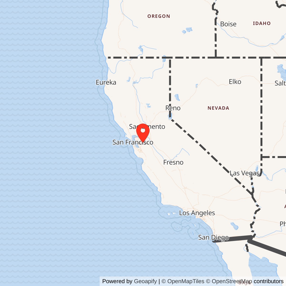
Longitude: -121.76
Current Role: Former NAS Livermore satellite/outlying field also identified as Outlying Field 'M', May School, and Silva-Barthe Field; documented as a 200-acre stubble-and-sod Navy field with four unpaved runways northeast of Livermore. No active Navy or aviation use; later reused as the FCC Livermore Monitoring Station / antenna-farm site, with little recognizable airfield fabric remaining.
Naval Outlying Landing Field Mays School was one of the small, fast-built satellite landing fields that made NAS Livermore work as a wartime training station. It was not a full naval air station, and it did not have the hangars, barracks, shops, or command structure of the parent base. Its purpose was more direct: provide extra landing ground where Navy student pilots could practice takeoffs, landings, approaches, and emergency procedures away from the congestion of the main field.
The field sat northeast of Livermore in the rural May School Road and Dagnino Road area. In Navy planning material it appeared as Outlying Field "M," May School, and the accompanying location map labeled it Silva Barthe Field, a name drawn from the landowners associated with the property. That dual naming is important. "Mays School," "May School," "Outlying Field M," and "Silva-Barthe Field" appear to refer to the same wartime Navy landing ground.
The site was a temporary Navy aviation installation. A 1943 Navy aerial view showed a square grass field with four unpaved runways. It was not shown on the December 1941 San Francisco Sectional Chart or the 1942 USGS topographic map, which fits the pattern of a field built or formalized during the emergency expansion of naval aviation after Pearl Harbor. By August 1944 it appeared on the San Francisco Sectional Chart as "Mays (Navy)," but by March 1945 it had disappeared from aeronautical charts. Its military life was therefore brief, tied closely to the peak and decline of Livermore's primary flight-training mission.
Mission and Operation
The field's mission was to support primary flight training in the Livermore naval aviation network. NAS Livermore trained large numbers of pilots in basic aircraft before many moved onward to more advanced or operational training. That kind of training placed heavy demands on landing fields. Students needed repetition. Instructors needed room to separate traffic. The Navy needed alternate and auxiliary fields so a mishap, wet ground, or traffic overload at the main station would not stop the training pipeline.Mays School filled that need as a low-infrastructure training field. John Voss, cited by the airfield-history source, described it as one of the World War II satellite fields assigned to NAS Livermore and noted a 4,000-foot north-south runway. A 1943 Navy plan of Outlying Field "M," May School, described the property as 200 acres owned by F.M. and J.C. Silva. The plan showed a rectangular field with four unpaved runways, the longest of which was a 2,200-foot northeast-southwest strip, and an information sheet described the runway surface as stubble and sod. The apparent difference between the later 4,000-foot runway description and the 1943 plan may reflect different measuring conventions, intended versus usable landing area, later field changes, or a simplified later summary. What is clear is that Mays School was an unpaved grass or sod training field with multiple landing directions.
The field also illustrates one of the practical weaknesses of the Livermore outlying-field system. The Navy wanted an all-weather field in the Livermore network because soft fields could interrupt training during wet weather. Brian Rehwinkel's documentation, as summarized by the airfield-history source, notes that the Navy considered building a 1,200-foot circular paved landing mat at Mays School in early 1944. The estimated cost was about $205,000. The Chief of the Bureau of Aeronautics disapproved the project in March 1944, apparently because NAS Livermore had been able to train students without a hard-surfaced outlying field and because additional spending on these temporary fields no longer made sense.
That decision proved consistent with the timing of the mission. NAS Livermore's primary training role ended only a few months later, in October 1944. Once that training pipeline wound down, Mays School had little reason to remain in Navy operation. The field was likely abandoned by the military by the end of World War II, and no later Navy flying mission has been identified there.
Role in the Wider Military Network
Mays School was one part of a dispersed Navy training system around Livermore. The 1944 Army/Navy Directory-derived listing of NAS Livermore outlying fields includes Abel, Brown, Brown-Fabian, Cope, Gelderman, Heath, Lindeman, Livermore, Mays School, Rita Butterworth, Spring Valley, and Wagoner. These fields distributed repetitive landing work across the Livermore Valley, Pleasanton-Dublin area, Fremont-Warm Springs area, and Tracy-side countryside. The system gave the Navy capacity rather than permanence.Its administrative trail also shows how the Livermore network grew out of Oakland's earlier Navy air activity. The 1943 plan attached Outlying Field "M" to NAS Oakland, even though later references describe it as part of the NAS Livermore satellite field system. That does not make the field a separate Oakland air station. It shows that the Bay Area Navy aviation system was in transition: Oakland's crowded Naval Reserve and training activity helped drive the creation of Livermore, and the outlying fields were then absorbed into the Livermore training pattern.
The Navy's World War II California activity list identifies Naval Air Station Livermore, Wagoner Field, and a Combat Aircrew Refresher Training Unit at NAS Livermore. That source does not list every small outlying strip by name, but it confirms that Livermore was more than one runway. It was a parent station with satellite fields and training organizations. Mays School belonged to that wider aviation geography.
Postwar Reuse and Current Status
Mays School did not transition into a long-lived public airport. No airfield at the location appeared on the March 1945 San Francisco Sectional Chart or the 1947 USGS topographic map, and a 1949 aerial view reportedly showed no evidence of recent aviation use. The 1953 USGS topo map labeled the property as a U.S. Government Reservation, suggesting that federal ownership or federal control continued after Navy flying use had ended.The most important postwar reuse was radio monitoring. At an unknown date after World War II, the property became an FCC antenna-farm site. The airfield-history source notes that the 1999 USGS topo map labeled it "Livermore Monitoring Station." A separate photographic documentation source for the FCC Monitoring Post at Livermore states that the FCC moved its monitoring post from San Leandro to the former Mays School NOLF grounds sometime in the mid-to-late 1940s. That later FCC use gave the site a second federal life, but it was no longer a Navy airfield.
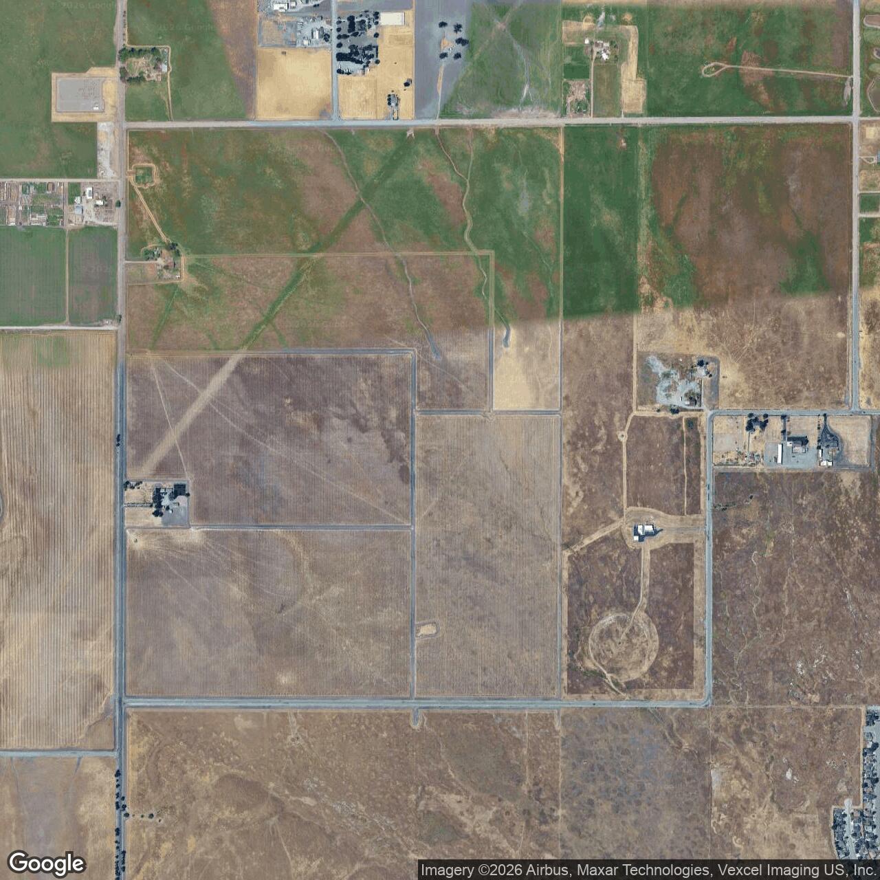
The field is closed and has no active Navy aviation use. Later photographs and aerial imagery show very little, if any, obvious airfield fabric remaining. A 2003 photograph looking north along the former runway area noted that little evidence remained, and an August 2012 aerial photograph did not show a recognizable airfield outline.
Chronology
- 1941-12 The site was not depicted as an airfield on the San Francisco Sectional Chart.
- 1942 The site was not depicted as an airfield on the USGS topographic map, supporting the conclusion that Navy field development came during World War II.
- 1943 A U.S. Navy aerial view showed Mays School OLF as a square grass field with four unpaved runways.
- 1943 A Navy plan identified the site as Outlying Field "M," May School, attached to NAS Oakland.
- 1943 The Navy plan described the field as 200 acres owned by F.M. and J.C. Silva; its location map labeled the site Silva Barthe Field.
- 1943 The same planning material showed a rectangular landing area with four unpaved runways and described the runway surface as stubble and sod.
- 1944-03 The Chief of the Bureau of Aeronautics disapproved a proposed 1,200-foot circular paved landing mat for Mays School, reportedly because the cost was high and Livermore had continued training without a hard-surfaced field.
- 1944-08 The San Francisco Sectional Chart depicted "Mays (Navy)" as an auxiliary airfield.
- 1944-10 NAS Livermore's primary training mission ended, sharply reducing the need for small sod outlying fields like Mays School.
- 1945-03 No airfield at the Mays School location was depicted on the San Francisco Sectional Chart.
- 1947 The USGS topographic map did not depict an airfield at the site.
- 1949 Aerial imagery reportedly showed no signs of recent aviation use.
- 1953 The USGS topographic map labeled the property as a U.S. Government Reservation.
- Post-World War II The former field property was reused as the FCC Livermore Monitoring Station / antenna-farm site.
- 1999 The USGS topographic map labeled the former field area as Livermore Monitoring Station.
- 2003 Site photographs showed the FCC monitoring facility and reported that very little visible airfield evidence remained.
- 2012-08-28 Aerial imagery showed no recognizable trace of the former Mays School airfield.
- Present The former Mays School NOLF is closed, with no active Navy or aviation use; the site is best treated as a former Navy outlying landing field with later federal radio-monitoring reuse.
Sources & References
- WEB Abandoned & Little-Known Airfields Mays School Naval Outlying Landing Field, Livermore, CA
- WEB U.S. Naval Activities, World War Two, By State California
- WEB Aerofiles Navy and Marine Flying Fields
- WEB Flickr album FCC Monitoring Post, Livermore California